Cairnie Hill
Hill, Mountain in Angus
Scotland
Cairnie Hill
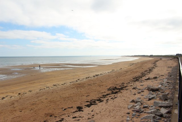
Cairnie Hill is a prominent landmark located in the county of Angus, Scotland. Rising to a height of approximately 1,021 feet (311 meters), it is considered a notable hill in the region. Situated near the town of Arbroath, Cairnie Hill offers panoramic views of the surrounding countryside and the North Sea.
The hill is primarily composed of sandstone and forms part of a larger range known as the Sidlaws. It is covered in stretches of grass, heather, and scattered trees, creating a picturesque landscape. Cairnie Hill is a popular destination for hikers and nature enthusiasts, attracting locals and visitors alike.
At the summit of Cairnie Hill, there is a trig point, which marks the highest point of the hill and provides a reference for mapping and surveying purposes. The trig point is often used as a focal point for walkers and serves as a vantage point to observe the stunning vistas of the surrounding area.
Cairnie Hill has a rich history, with evidence of ancient settlements and burial sites found in the vicinity. It has also been the site of various archaeological discoveries, including artifacts from the Iron Age and Roman periods.
Overall, Cairnie Hill is a significant natural feature in Angus, offering breathtaking views, recreational opportunities, and a glimpse into the region's past. Its accessibility and scenic beauty make it a must-visit destination for those exploring the area.
If you have any feedback on the listing, please let us know in the comments section below.
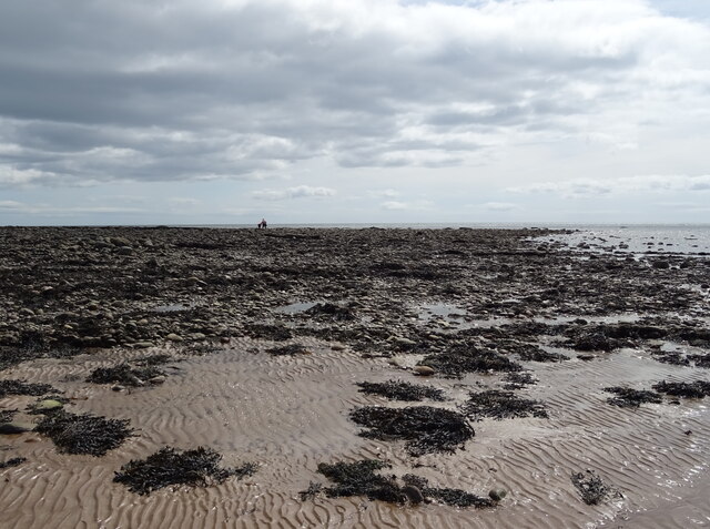
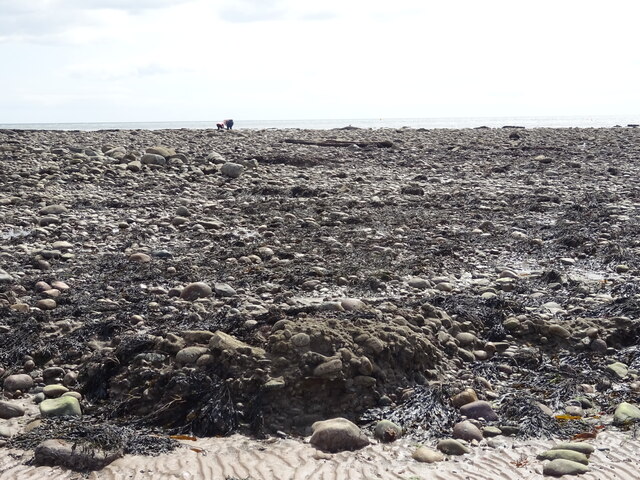
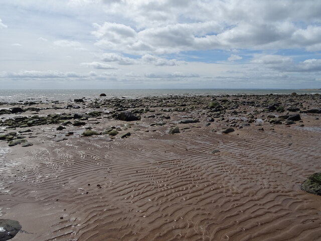
Cairnie Hill Images
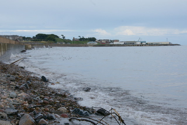
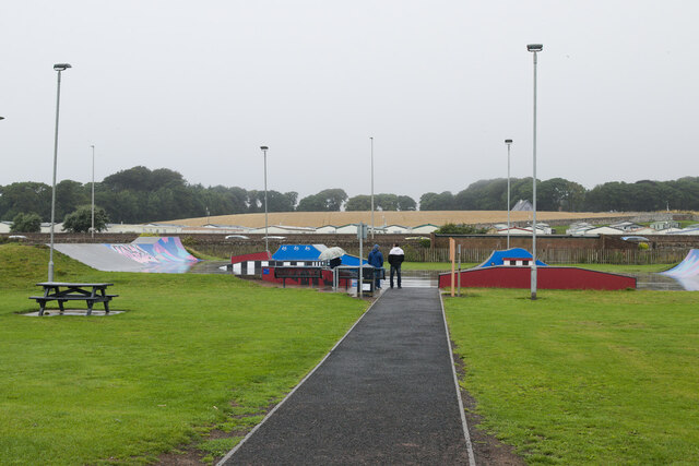
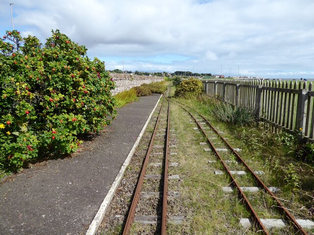
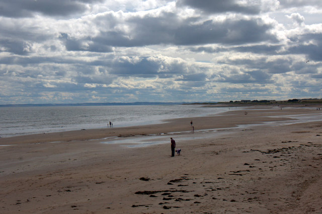
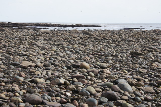
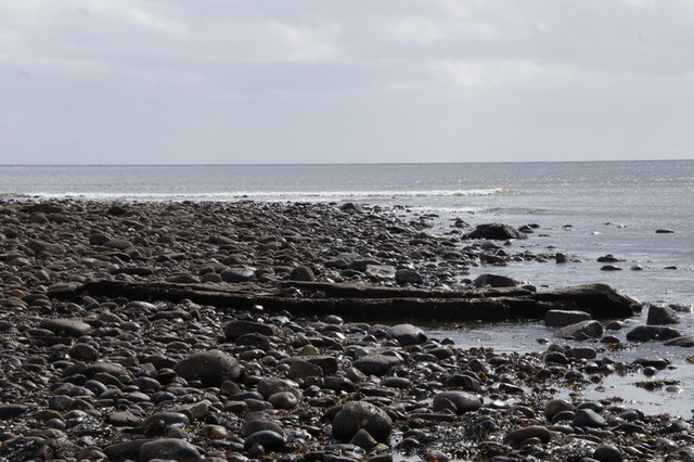
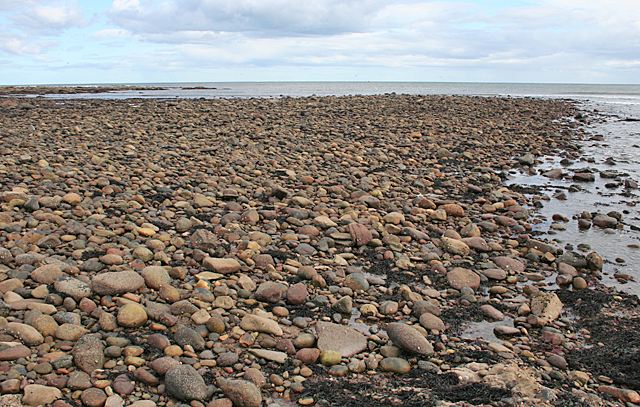
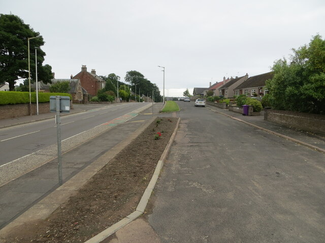
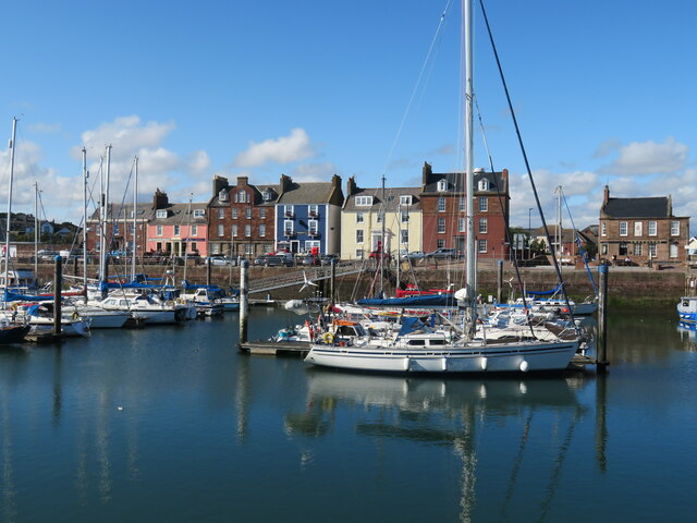
Images are sourced within 2km of 56.565489/-2.5971757 or Grid Reference NO6341. Thanks to Geograph Open Source API. All images are credited.
Cairnie Hill is located at Grid Ref: NO6341 (Lat: 56.565489, Lng: -2.5971757)
Unitary Authority: Angus
Police Authority: Tayside
What 3 Words
///shine.shade.wiring. Near Arbroath, Angus
Nearby Locations
Related Wikis

Arbroath Victoria F.C.
Arbroath Victoria Football Club are a Scottish Junior football club based in Arbroath. The club competes in the SJFA Midlands League and play their games...
Arbroath High School
Arbroath High School is a six-year, all-through comprehensive school situated on the west side of Arbroath, Angus, Scotland. It moved into its present...
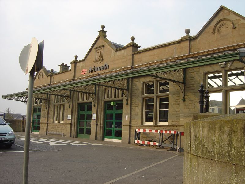
Arbroath railway station
Arbroath railway station serves the town of Arbroath in Angus, Scotland. The station is 17 miles (27 km) east of Dundee on the line between Dundee and...

Arbroath
Arbroath () or Aberbrothock (Scottish Gaelic: Obar Bhrothaig [ˈopəɾ ˈvɾo.ɪkʲ]) is a former royal burgh and the largest town in the council area of Angus...
Nearby Amenities
Located within 500m of 56.565489,-2.5971757Have you been to Cairnie Hill?
Leave your review of Cairnie Hill below (or comments, questions and feedback).