Cairnie
Settlement in Angus
Scotland
Cairnie
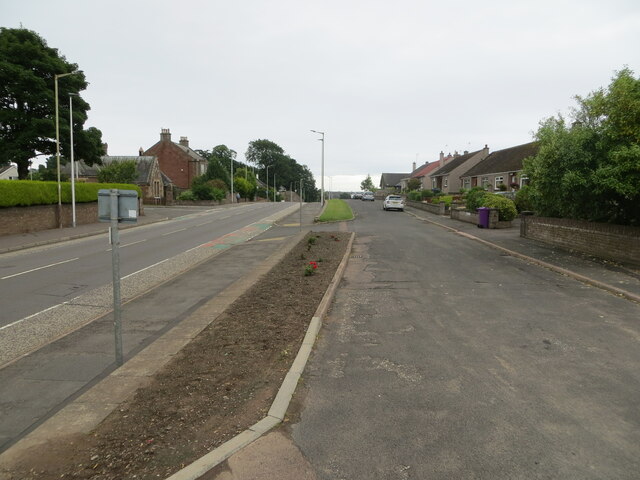
Cairnie is a small village located in the county of Angus, Scotland. Situated in the northeastern part of the country, Cairnie is nestled amidst picturesque countryside, characterized by rolling hills, lush green fields, and charming farmlands. The village is located about 4 miles southeast of the town of Forfar, making it an ideal retreat for those seeking a peaceful and rural setting.
Despite its small size and rural nature, Cairnie boasts a rich history dating back several centuries. The village is home to several historic buildings, including the St. Mary's Church, which dates back to the 12th century and features stunning architectural details. Additionally, Cairnie House, a grand mansion built in the 18th century, adds to the village's historical charm.
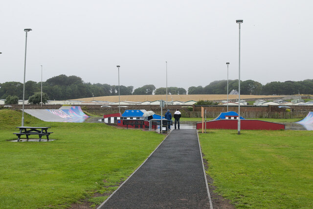
Cairnie offers a range of outdoor activities for nature enthusiasts. The surrounding countryside provides ample opportunities for walking, hiking, and cycling, with numerous trails and paths to explore. The village is also known for its beautiful gardens and parks, where visitors can relax and enjoy the tranquil surroundings.
While Cairnie is primarily a residential area, there are a few local amenities to cater to the needs of residents and visitors. These include a small grocery store, a post office, and a local pub where visitors can unwind and sample traditional Scottish cuisine and beverages.
Overall, Cairnie is a quaint and peaceful village that offers a glimpse into Scotland's rural beauty and historical heritage. It is an ideal destination for those seeking a tranquil retreat or a base to explore the surrounding countryside.
If you have any feedback on the listing, please let us know in the comments section below.
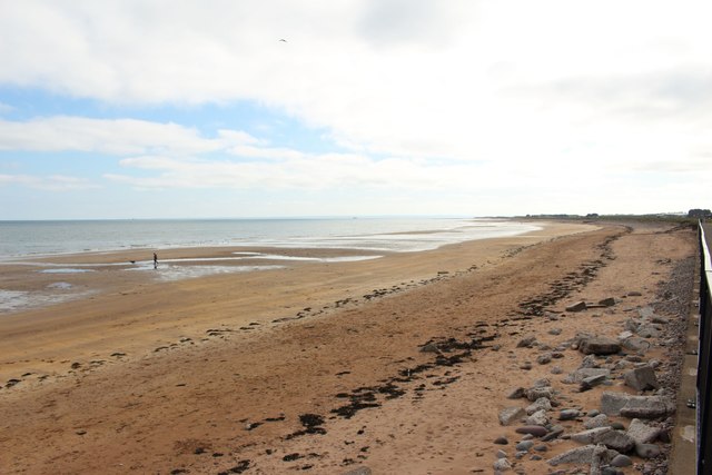
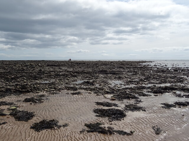
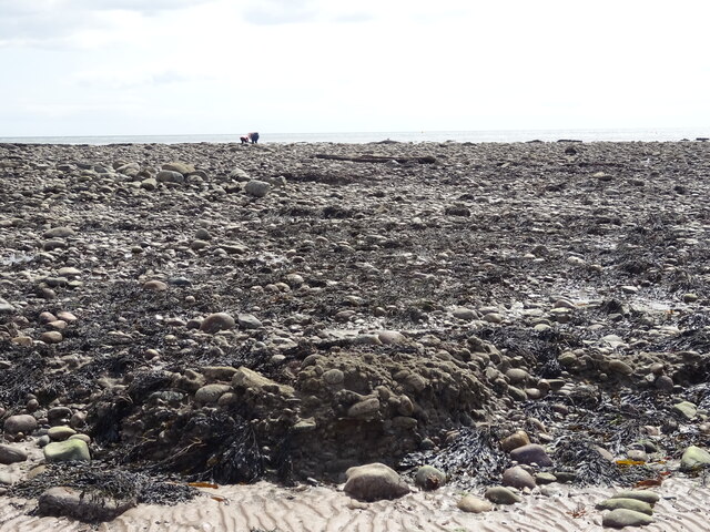
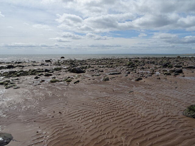
Cairnie Images
Images are sourced within 2km of 56.566199/-2.593428 or Grid Reference NO6341. Thanks to Geograph Open Source API. All images are credited.
![Westhaven memorial by the harbour The Westhaven was an Arbroath fishing boat that was lost at sea on 10th March 1997 with the loss of four crew. The circumstances were not associated with bad weather, but because fishing gear had become trapped in an underwater obstacle [a pipeline] and the boat capsized.](https://s2.geograph.org.uk/geophotos/06/97/10/6971010_36354498.jpg)
![Gayfield Park Home of Arbroath Football Club, known as the 'Red Lichties' [whatever that means]. The club appear to be on the up and in the current 2021-22 season are playing in the Scottish Championship alongside such clubs as Inverness and Kilmarnock. The ground capacity is 6600 of which there are just 861 seats.](https://s1.geograph.org.uk/geophotos/06/97/10/6971021_f47514b2.jpg)
Cairnie is located at Grid Ref: NO6341 (Lat: 56.566199, Lng: -2.593428)
Unitary Authority: Angus
Police Authority: Tayside
What 3 Words
///agrees.hears.putty. Near Arbroath, Angus
Nearby Locations
Related Wikis

Arbroath Victoria F.C.
Arbroath Victoria Football Club are a Scottish Junior football club based in Arbroath. The club competes in the SJFA Midlands League and play their games...

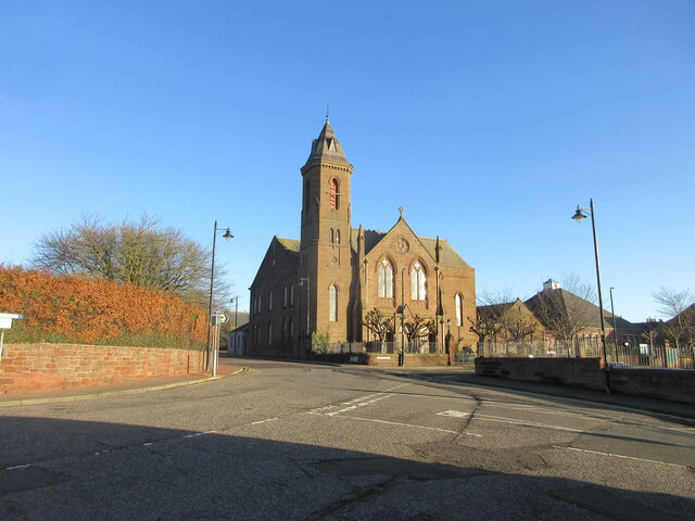
St Andrew's Parish Church, Arbroath
St Andrew's Parish Church is a congregation of the Church of Scotland located in Arbroath, Angus, Scotland. The church building was constructed in the...

Arbroath
Arbroath () or Aberbrothock (Scottish Gaelic: Obar Bhrothaig [ˈopəɾ ˈvɾo.ɪkʲ]) is a former royal burgh and the largest town in the council area of Angus...
Arbroath High School
Arbroath High School is a six-year, all-through comprehensive school situated on the west side of Arbroath, Angus, Scotland. It moved into its present...
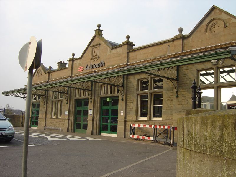
Arbroath railway station
Arbroath railway station serves the town of Arbroath in Angus, Scotland. The station is 17 miles (27 km) east of Dundee on the line between Dundee and...
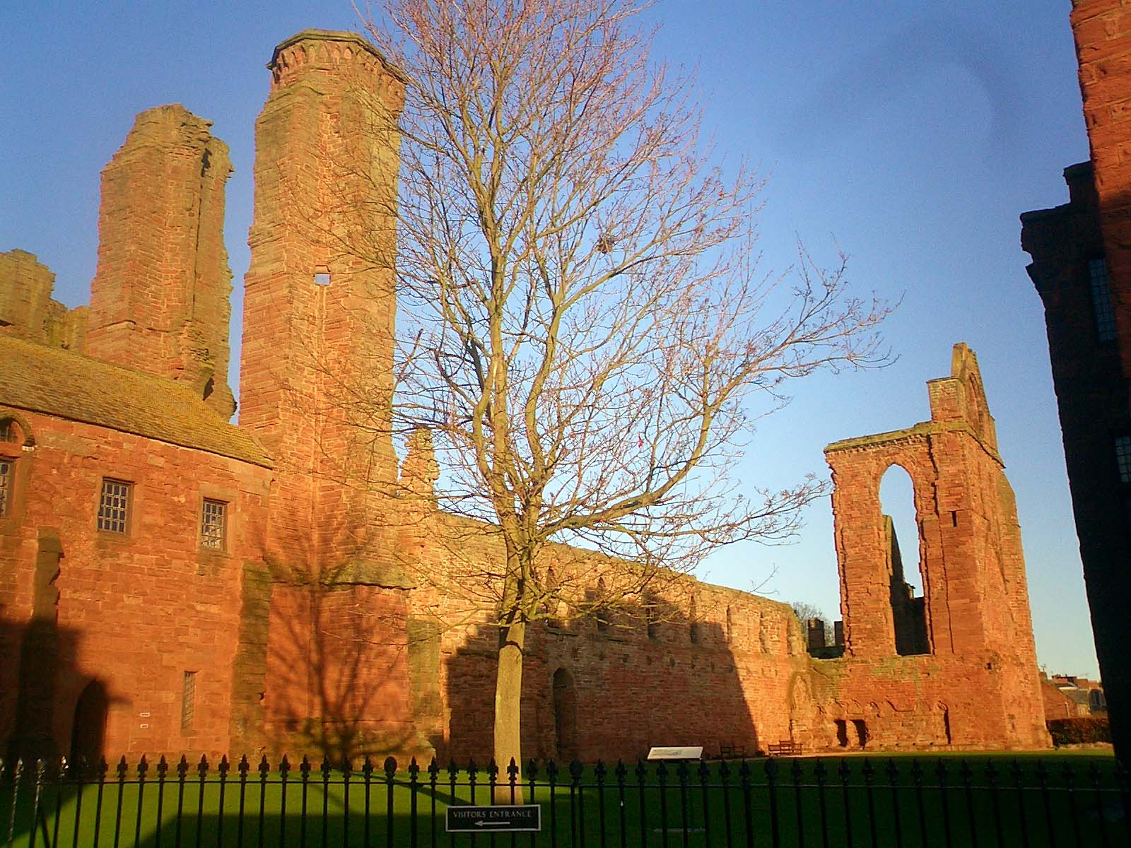
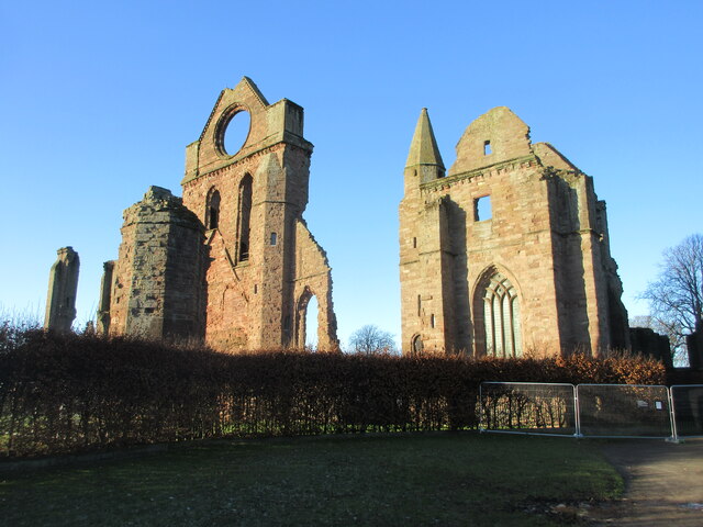
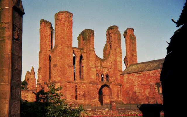
Arbroath Abbey
Arbroath Abbey, in the Scottish town of Arbroath, was founded in 1178 by King William the Lion for a group of Tironensian Benedictine monks from Kelso...
Arbroath Catherine Street railway station
Arbroath Catherine Street railway station served the town of Arbroath, Angus, Scotland from 1839 to 1848 on the Arbroath and Forfar Railway. == History... ==

Corn Exchange, Arbroath
The Corn Exchange is a commercial building in the Market Place, Arbroath, Angus, Scotland. The structure, which is now used as a public house, is a Category...
Related Videos

MUST SEE OUTDOOR PLACES IN SCOTLAND PART 1- Hiking the Arbroath Cliffs Vlog
Hello there, my name is Ngozi but I go by Ng Thee Afro Nomad. I love travel, adventure, and see new places. Feel free to watch all ...


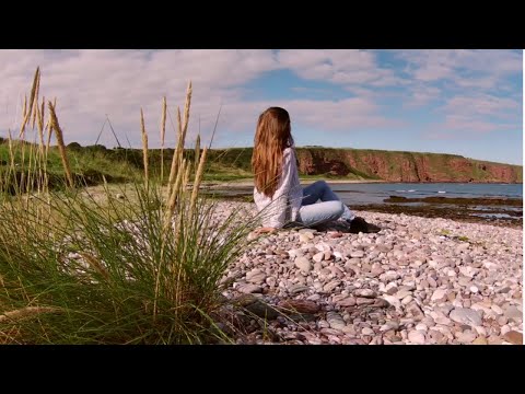
A day out in Arbroath | Seaton Cliffs Walk
A day out in Arbroath. Walking along the seaside and enjoying the warmth of the last days of summer. Enjoy the video. :)
Nearby Amenities
Located within 500m of 56.566199,-2.593428Have you been to Cairnie?
Leave your review of Cairnie below (or comments, questions and feedback).