Three Pikes

Hill, Mountain in Northumberland

England

Three Pikes

Bridleway and Hut Burn, Knaresdale
Bridleway and Hut Burn, Knaresdale Credit: Andrew Smith

Three Pikes, located in Northumberland, is a prominent hill/mountain formation in the northern part of England. Standing at an elevation of 651 meters (2,136 feet), Three Pikes is a part of the Pennines, a range renowned for its stunning landscapes and natural beauty. The hill/mountain is situated near the border between Northumberland and Cumbria, offering breathtaking views of the surrounding countryside.

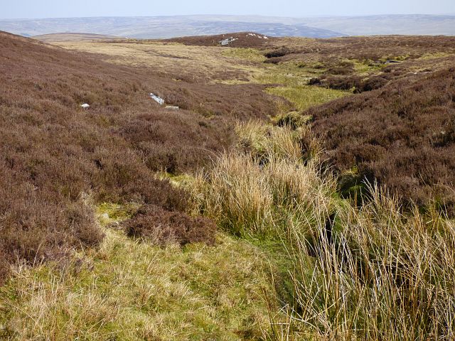
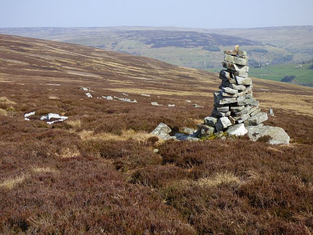
Three Pikes, also known as "The Three Sisters," derives its name from the distinctive shape formed by its three peaks. Each peak is characterized by its own unique features and offers different perspectives of the surrounding landscape. The hill/mountain is predominantly composed of rugged, rocky terrain, making it a challenging but rewarding destination for hikers and mountaineers.

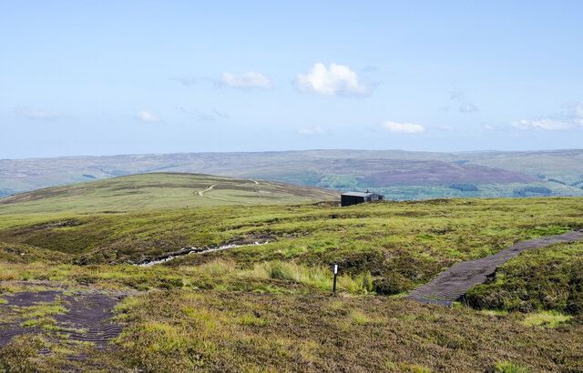
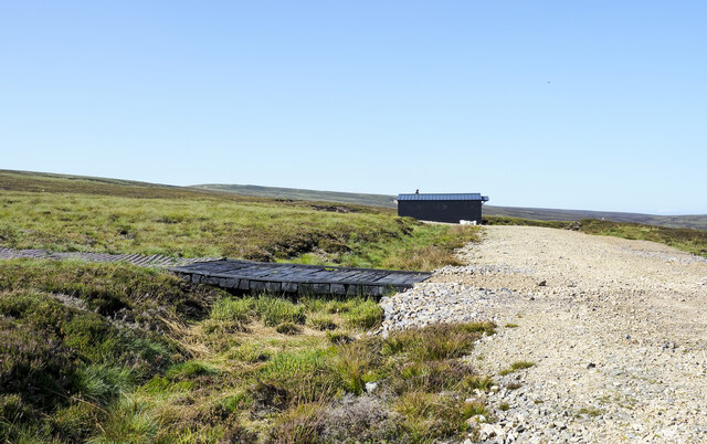
The ascent to Three Pikes can be approached from various directions, with popular starting points being Garrigill in Cumbria or Alston in Northumberland. The routes to the summit vary in difficulty, catering to both experienced climbers and beginners seeking a more leisurely hike. Regardless of the chosen path, climbers are treated to stunning views of the North Pennines Area of Outstanding Natural Beauty, with its vast moorlands, deep valleys, and picturesque villages.

Three Pikes is a haven for wildlife enthusiasts, as the area is home to a diverse range of flora and fauna. The hill/mountain provides habitats for various bird species, including peregrine falcons and golden plovers, as well as mammals such as red squirrels and mountain hares.

Overall, Three Pikes in Northumberland is a captivating destination for outdoor enthusiasts, offering a challenging yet rewarding experience amidst the stunning natural landscapes of the Pennines.

If you have any feedback on the listing, please let us know in the comments section below.
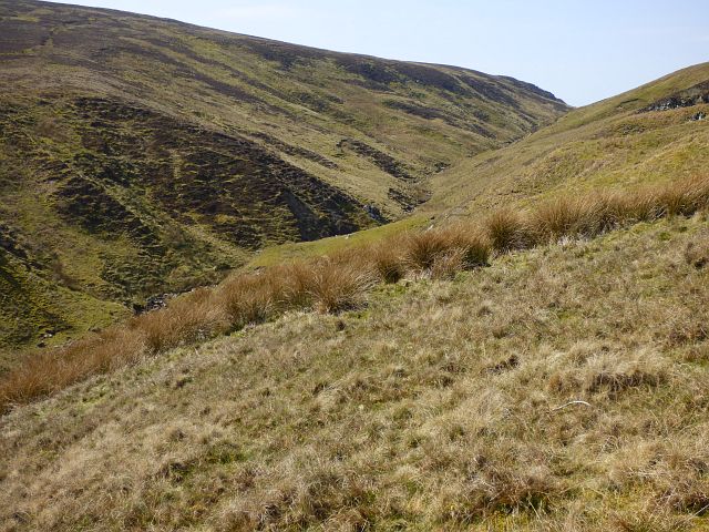
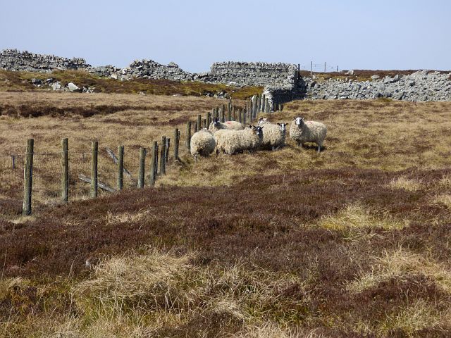
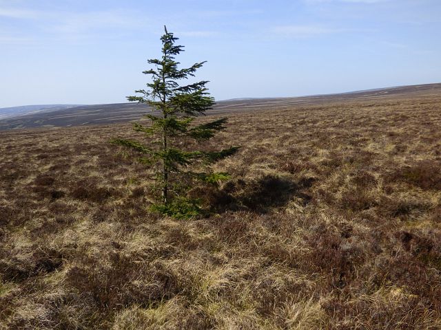
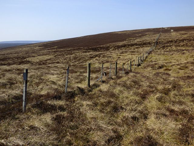
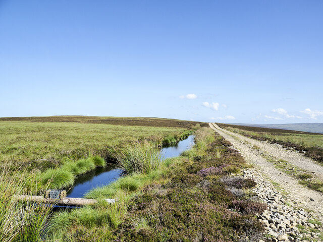
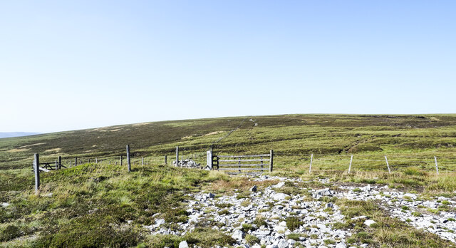
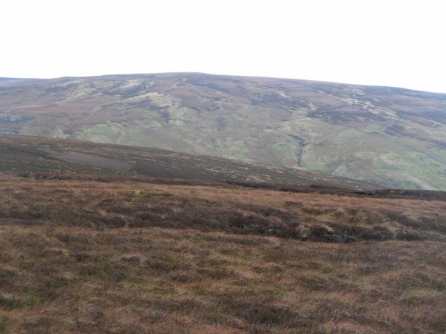
Three Pikes Images

Images are sourced within 2km of 54.856314/-2.5718205 or Grid Reference NY6351. Thanks to Geograph Open Source API. All images are credited.

Bridleway and Hut Burn, Knaresdale
Moorland, Knaresdale
Moorland, Castle Carrock
Moorland, Knaresdale
Money Currick and moorland, Knaresdale
Plastic matting of hill road crossing moorland An estate road climbs out of Knars Dale bypassing the rounded dome of Black Fell in the middle distance; it continues to end at the shooting hut which is right of centre. From there its nature changes; the route continues as the plastic matting seen wandering over the nearer moorland. The route followed by the matting is shown approximately on OS maps at the 1:25 000 scale but the two do not coincide exactly.
Plastic matting of hill road crossing moorland
An estate road climbs out of Knars Dale bypassing the rounded dome of Black Fell in the middle distance; it continues to end at the shooting hut which is right of centre. From there its nature changes; the route continues as the plastic matting seen wandering over the nearer moorland. The route followed by the matting is shown approximately on OS maps at the 1:25 000 scale but the two do not coincide exactly.
Shooting hut near Mardy's Cleugh An estate road climbs out of Knars Dale bypassing the dome of Black Fell; it continues to end at the shooting hut in the image. From there its nature changes; the route continues as the plastic matting seen branching away to the left, crossing some large timbers. OS mapping at the 1:25 000 scale displays faithfully the route followed by the road as far as the hut but the matting way beyond is shown only approximately.
Shooting hut near Mardy's Cleugh
An estate road climbs out of Knars Dale bypassing the dome of Black Fell; it continues to end at the shooting hut in the image. From there its nature changes; the route continues as the plastic matting seen branching away to the left, crossing some large timbers. OS mapping at the 1:25 000 scale displays faithfully the route followed by the road as far as the hut but the matting way beyond is shown only approximately.
Black Hill with estate road The road bypasses the highest point of Black Hill on its way to a shooting hut. The stretch of water is presumably just a flooded ditch. The trap on a pole over the ditch is of a recently introduced design as the older fenn trap was banned in April 2020.
Black Hill with estate road
The road bypasses the highest point of Black Hill on its way to a shooting hut. The stretch of water is presumably just a flooded ditch. The trap on a pole over the ditch is of a recently introduced design as the older fenn trap was banned in April 2020.
Meeting of fences on West Dun Hill West Dun Hill has little identity of its own being just a slight rise of moorland on the way to Little Blacklaw Hill and Great Blacklaw Hill beyond it. OS mapping at 1:25 000 shows two hill roads in the vicinity but there's little continuous trace on the ground of either.
Meeting of fences on West Dun Hill
West Dun Hill has little identity of its own being just a slight rise of moorland on the way to Little Blacklaw Hill and Great Blacklaw Hill beyond it. OS mapping at 1:25 000 shows two hill roads in the vicinity but there's little continuous trace on the ground of either.
Gilling Brigg Looking north across the valley of Scythesand Sike towards Three Pikes in <a href="https://www.geograph.org.uk/gridref/NY6351">NY6351</a>.
Gilling Brigg
Looking north across the valley of Scythesand Sike towards Three Pikes in NY6351.
Gilling Brigg (2)
Gilling Brigg (2)
Curricks on Gilling Brigg
Moorland above Knardale
Moorland near Guy's Cleugh
Show me another place!

Three Pikes is located at Grid Ref: NY6351 (Lat: 54.856314, Lng: -2.5718205)

Unitary Authority: Northumberland

Police Authority: Northumbria

What 3 Words

///accordion.grounded.widgets. Near Alston, Cumbria

Nearby Locations

Three Pikes

Related Wikis

Geltsdale & Glendue Fells

Geltsdale & Glendue Fells is a Site of Special Scientific Interest in the North Pennines, England. The site has an area of 8059 ha, partly in Cumbria...

Aules Hill Meadows

Aules Hill Meadows is the name given to a Site of Special Scientific Interest (SSSI) in Northumberland, England. The site, listed since 1992, is a set...
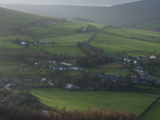
Slaggyford

Slaggyford is a village in the civil parish of Knaresdale with Kirkhaugh, in Northumberland, England about 5 miles (8 km) north of Alston, Cumbria. It...

Slaggyford railway station

Slaggyford was a railway station on the Alston Line, which ran between Haltwhistle and Alston. The station served the village of Slaggyford in Northumberland...

Nearby Amenities

Located within 500m of 54.856314,-2.5718205
Hartchyside
Place: locality
Lat/Long: 54.8551325/-2.5648572
Three Pikes
Ele: 584
Natural: peak
Lat/Long: 54.8568432/-2.5717699
Colouring Crag
Place: locality
Lat/Long: 54.8599688/-2.5700799
The data included in this document is from www.openstreetmap.org. The data is made available under ODbL.

Have you been to Three Pikes?

Leave your review of Three Pikes below (or comments, questions and feedback).