Hawkshead

Hill, Mountain in Lancashire Lancaster

England

Hawkshead

OS Bench Mark Ordnance Survey rivet bench mark on boulder on SW side of Hornby Road, with shooters' track in the background. 403.275 m above datum. Strangely, the rivet is not at the apex of the arrow - perhaps the pivot hole from the 19th century levelling was deemed too large and a rivet added for the 20th century levelling.
OS Bench Mark Credit: Phil Johnstone

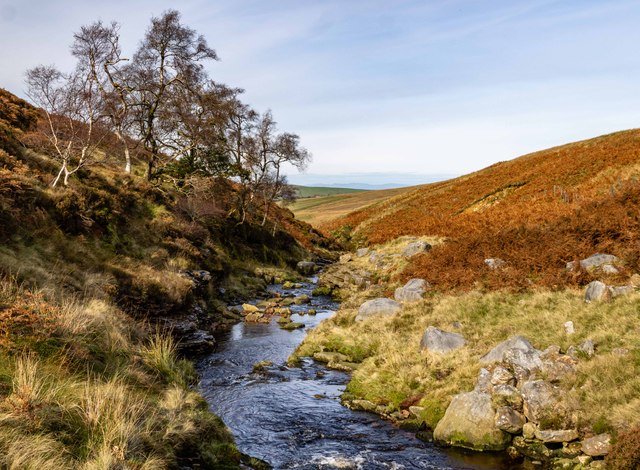
Hawkshead is a picturesque village located in the county of Lancashire, England. Situated amidst the stunning Lake District National Park, Hawkshead is renowned for its natural beauty, charming architecture, and rich history. Nestled on a hill, this idyllic village offers breathtaking views of the surrounding countryside and nearby mountains.

The village itself is characterized by its narrow cobbled streets, traditional stone houses, and quaint cottages. Its well-preserved medieval buildings add to the village's historic charm, attracting visitors from far and wide. The center of Hawkshead features a delightful market square, lined with local shops, cafes, and pubs, offering a variety of goods and local delicacies.

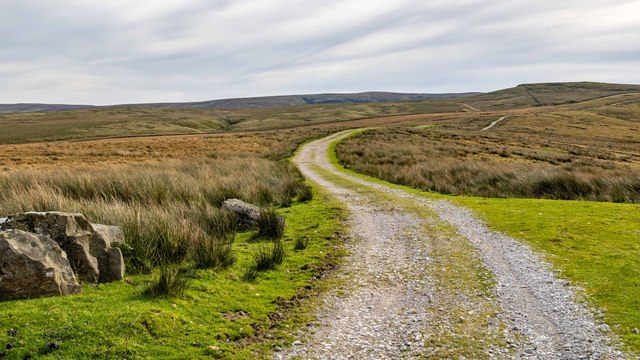
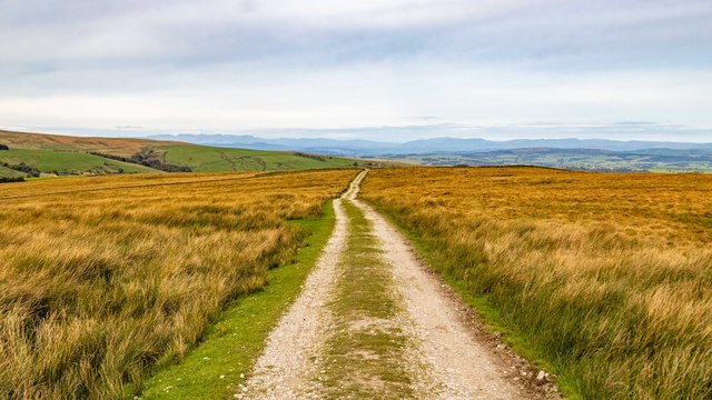
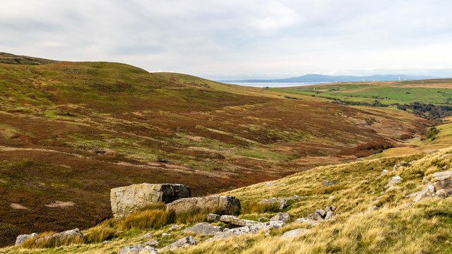
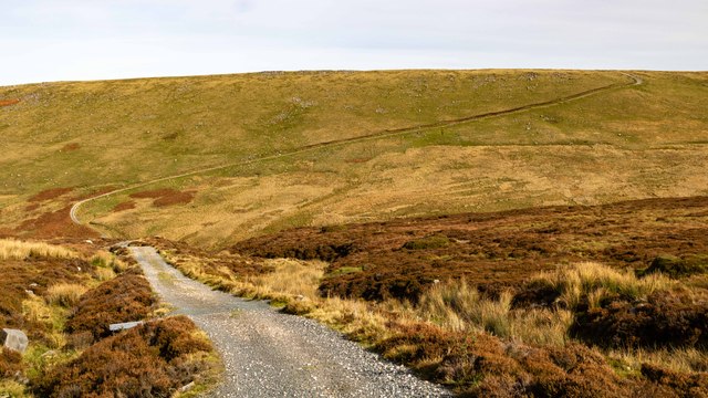
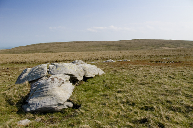
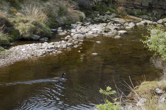
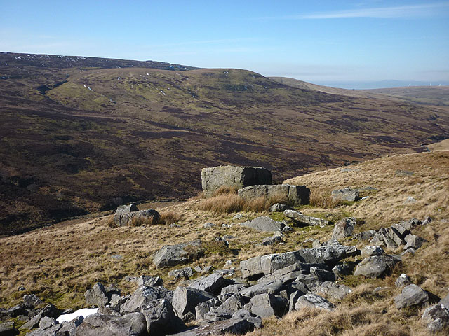
Surrounded by lush greenery and rolling hills, Hawkshead is a haven for outdoor enthusiasts. The village provides easy access to several stunning hiking trails and walking routes, making it a popular destination for nature lovers. The nearby mountain peaks, such as Latterbarrow and Claife Heights, offer panoramic vistas of the surrounding landscapes, providing a truly memorable experience for hikers and climbers.

In addition to its natural beauty, Hawkshead is also famous for its connection to the renowned poet William Wordsworth. The poet attended school in the village, and his former school, now known as the Hawkshead Grammar School, is a popular tourist attraction. Visitors can explore the school's historic classrooms and learn about Wordsworth's life and work.

Overall, Hawkshead is a charming and picturesque village, offering a perfect blend of natural beauty, historic charm, and outdoor activities. Whether it is exploring the village's quaint streets, hiking in the mountains, or immersing oneself in its rich history, Hawkshead provides a delightful experience for all who visit.

If you have any feedback on the listing, please let us know in the comments section below.

Hawkshead Images

Images are sourced within 2km of 54.037471/-2.5603204 or Grid Reference SD6360. Thanks to Geograph Open Source API. All images are credited.

OS Bench Mark Ordnance Survey rivet bench mark on boulder on SW side of Hornby Road, with shooters' track in the background. 403.275 m above datum. Strangely, the rivet is not at the apex of the arrow - perhaps the pivot hole from the 19th century levelling was deemed too large and a rivet added for the 20th century levelling.
OS Bench Mark
Ordnance Survey rivet bench mark on boulder on SW side of Hornby Road, with shooters' track in the background. 403.275 m above datum. Strangely, the rivet is not at the apex of the arrow - perhaps the pivot hole from the 19th century levelling was deemed too large and a rivet added for the 20th century levelling.
Alderstone Bank Roock outcrops alongside Hornby Road.
Alderstone Bank
Roock outcrops alongside Hornby Road.
High Salter Close Hornby Road at High Salter Close.
High Salter Close
Hornby Road at High Salter Close.
Hornby Road
Hornby Road
River Roeburn Looking across the valley of the River Roeburn.
River Roeburn
Looking across the valley of the River Roeburn.
OS Bench Mark Ordnance Survey rivet bench mark on boulder 5.5 m NE of Hornby Road, close to junction of tracks. 403.805 m above datum.
OS Bench Mark
Ordnance Survey rivet bench mark on boulder 5.5 m NE of Hornby Road, close to junction of tracks. 403.805 m above datum.
Salter Fell Track leading down from Salter Fell to the valley of the River Roeburn.
Salter Fell
Track leading down from Salter Fell to the valley of the River Roeburn.
River Roeburn
River Roeburn
Alderstone Bank Track leading up to Hornby Road on Alderstone Bank.
Alderstone Bank
Track leading up to Hornby Road on Alderstone Bank.
Shooting Hut Shooting hut on Mallowdale Fell.
Shooting Hut
Shooting hut on Mallowdale Fell.
Hawkshead from the Salter Fell Road
The River Roeburn under Mallowdale Pike This Canada Goose was very territorial must have had eggs near by
The River Roeburn under Mallowdale Pike
This Canada Goose was very territorial must have had eggs near by
Gate on The Hornby Road below Hawkshead
The Hornby Road on Higher Salter Close
Walking along the Hornby Road track The track, passing through the heart of the Bowland wilderness, is one of the finest moorland crossings in Britain.
Walking along the Hornby Road track
The track, passing through the heart of the Bowland wilderness, is one of the finest moorland crossings in Britain.
Bench mark on rock beside the Hornby Road track At an altitude of 381.9571m asl.
Bench mark on rock beside the Hornby Road track
At an altitude of 381.9571m asl.
Gritstone outcrops below the Hornby Road track Looking across the upper Roeburn towards Mallowdale Pike, the rounded paler-looking spur of moorland.
Gritstone outcrops below the Hornby Road track
Looking across the upper Roeburn towards Mallowdale Pike, the rounded paler-looking spur of moorland.
Mammal trap on pole across the Infant Goodber Beck These infernal things appear all over Bowland - see my picture of <a href="https://www.geograph.org.uk/photo/4021329">SD5657 : Grizedale Brook and mammal traps</a> taken two weeks earlier.
Mammal trap on pole across the Infant Goodber Beck
These infernal things appear all over Bowland - see my picture of SD5657 : Grizedale Brook and mammal traps taken two weeks earlier.
Show me another place!

Hawkshead is located at Grid Ref: SD6360 (Lat: 54.037471, Lng: -2.5603204)

Administrative County: Lancashire

District: Lancaster

Police Authority: Lancashire

What 3 Words

///mandolin.scouting.conveying. Near High Bentham, North Yorkshire

Nearby Locations

Hawkshead

Related Wikis

Wolfhole Crag

Wolfhole Crag is an isolated and seldom-visited hill in the Forest of Bowland in Lancashire, England. Its seclusion is due in part to its low profile and...

Brennand Farm

Brennand Farm is often claimed to be the true centre of Great Britain. This is about seven kilometres north-west of Dunsop Bridge - which has the nearest...

White Hill (Forest of Bowland)

White Hill is a hill in the Forest of Bowland, north-western England. It lies between Slaidburn and High Bentham. The summit houses a tower and a trig...

Ward's Stone

Ward's Stone is the highest hill in the Forest of Bowland, England. Its flat top hides two trig points nearly a kilometre apart. The western trig point...

Nearby Amenities

Located within 500m of 54.037471,-2.5603204
Hawkshead
Ele: 408
Natural: peak
Source: npe
Lat/Long: 54.0374685/-2.5606127
Barrier: kissing_gate
Lat/Long: 54.0377102/-2.558349
Barrier: kissing_gate
Lat/Long: 54.037678/-2.5581914
Barrier: kissing_gate
Lat/Long: 54.0376153/-2.5581112
The data included in this document is from www.openstreetmap.org. The data is made available under ODbL.

Have you been to Hawkshead?

Leave your review of Hawkshead below (or comments, questions and feedback).