Dovecot Hill
Hill, Mountain in Angus
Scotland
Dovecot Hill
Dovecot Hill is a prominent hill located in the county of Angus, Scotland. Situated near the town of Forfar, it is a notable feature of the local landscape and offers breathtaking views of the surrounding countryside. With an elevation of approximately 225 meters (738 feet), Dovecot Hill is not classified as a mountain but rather as a hill.
The hill is characterized by its gentle slopes and is predominantly covered in grass and heather, giving it a picturesque appearance. It is a popular destination for hikers and nature enthusiasts, attracting both locals and tourists who are seeking a tranquil outdoor experience.
At the summit of Dovecot Hill, one can find the remains of an Iron Age hill fort, which adds historical significance to the site. The fort is believed to have been built around 2000 years ago and would have served as a defensive structure for the local inhabitants. Today, the fort's earthworks can still be seen and provide a glimpse into the area's ancient past.
Dovecot Hill is easily accessible, with several walking trails leading to the top. The ascent is relatively easy, making it suitable for people of all ages and fitness levels. As visitors make their way up, they are treated to expansive views of the Angus countryside, including the rolling hills, farmland, and nearby towns.
Overall, Dovecot Hill offers a fantastic opportunity to connect with nature, enjoy a peaceful walk, and explore the remnants of an ancient fort. It is a must-visit destination for those seeking natural beauty and historical intrigue in the Angus region.
If you have any feedback on the listing, please let us know in the comments section below.
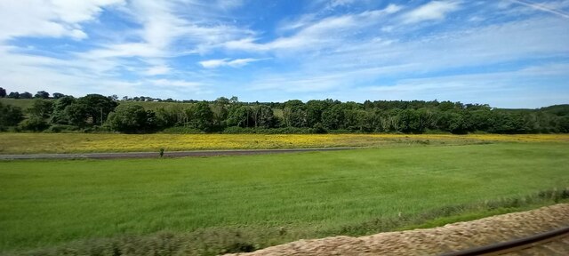
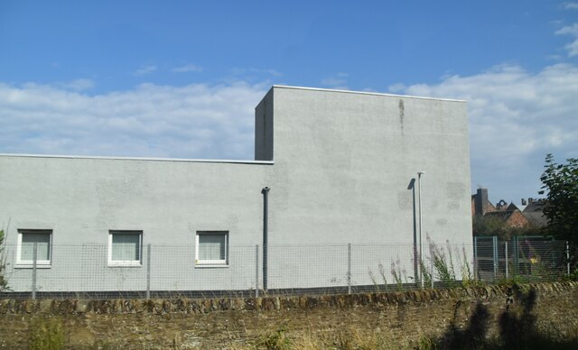
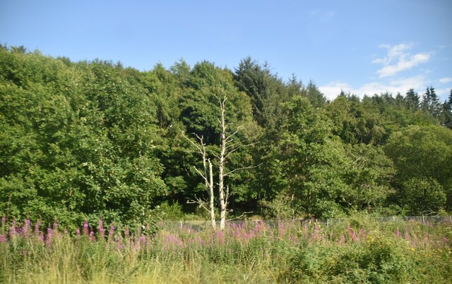
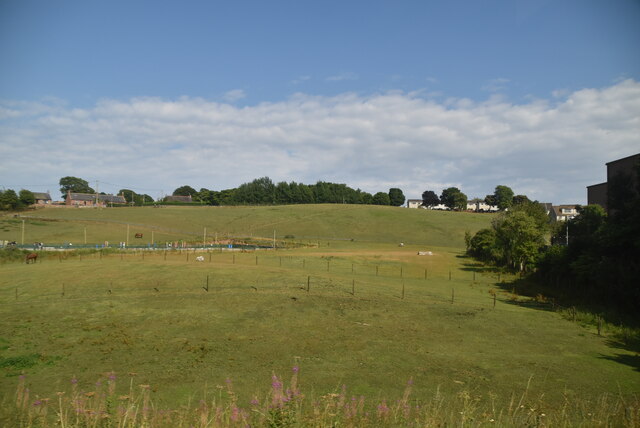
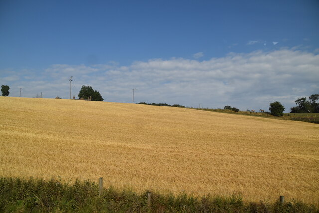
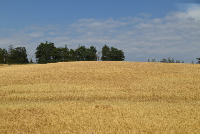
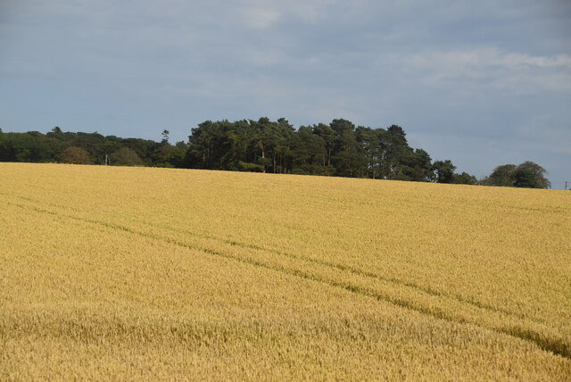
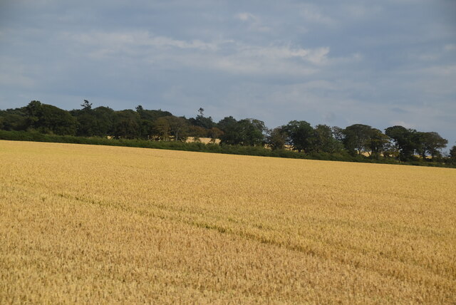
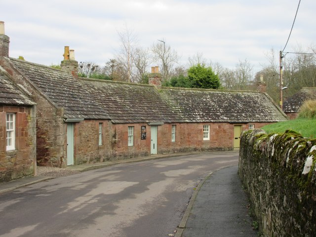
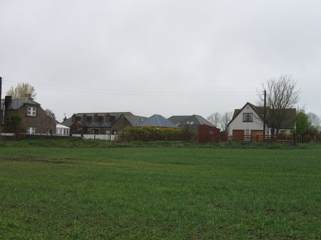
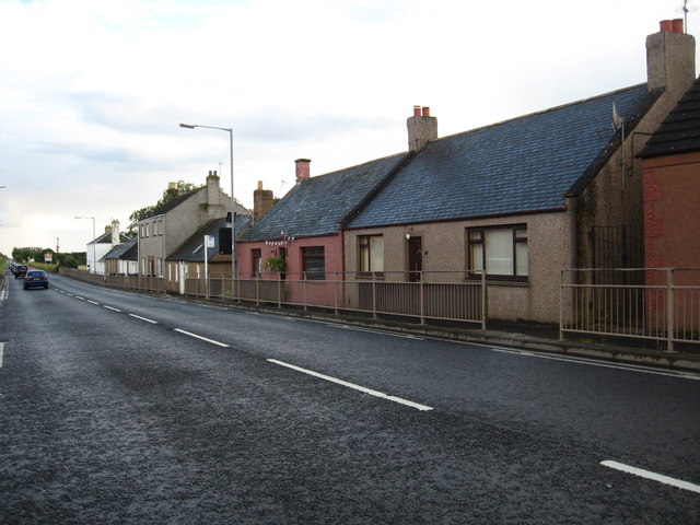
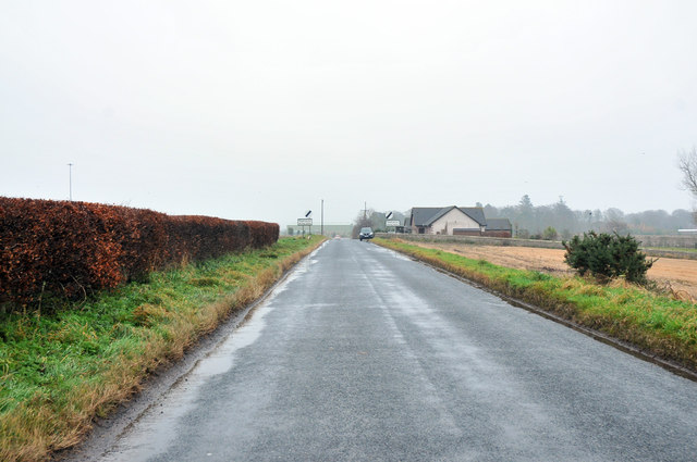
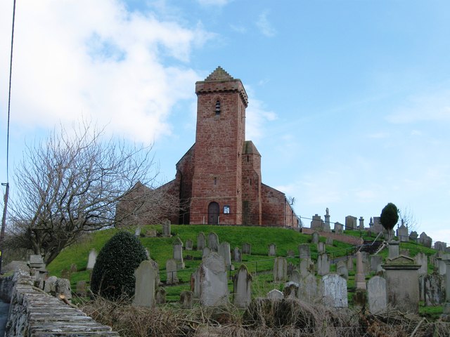
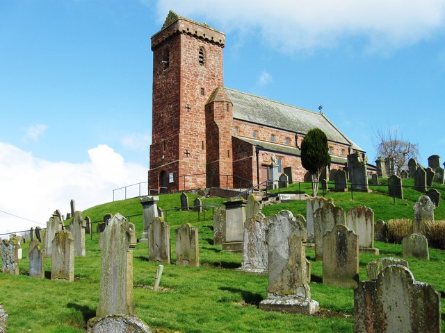
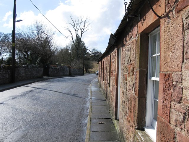
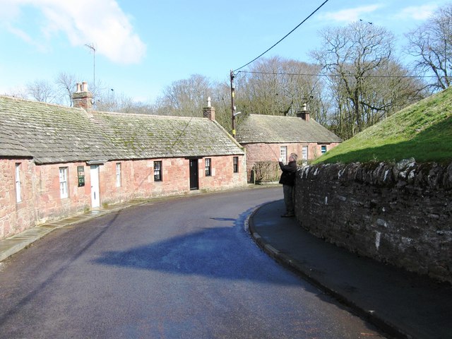
Dovecot Hill Images
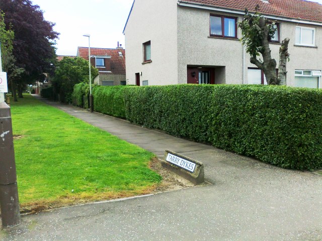
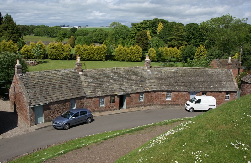
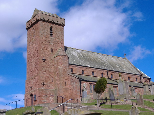
Images are sourced within 2km of 56.583318/-2.5981569 or Grid Reference NO6343. Thanks to Geograph Open Source API. All images are credited.

Dovecot Hill is located at Grid Ref: NO6343 (Lat: 56.583318, Lng: -2.5981569)
Unitary Authority: Angus
Police Authority: Tayside
What 3 Words
///charge.tanks.really. Near Arbroath, Angus
Nearby Locations
Related Wikis
St Vigeans Sculptured Stones Museum
St Vigeans Sculptured Stones Museum, located in the Angus village of St Vigeans, houses an outstanding collection of Pictish carved stones. St Vigeans...
St Vigeans
St Vigeans is a small village and parish in Angus, Scotland, immediately to the north of Arbroath. Originally rural, it is now more or less a suburb of...
St Vigeans Church
St Vigeans Church is a Church of Scotland parish church, serving the parish of the ancient village of St Vigeans on the outskirts of Arbroath, Angus, Scotland...

Arbroath Victoria F.C.
Arbroath Victoria Football Club are a Scottish Junior football club based in Arbroath. The club competes in the SJFA Midlands League and play their games...
Nearby Amenities
Located within 500m of 56.583318,-2.5981569Have you been to Dovecot Hill?
Leave your review of Dovecot Hill below (or comments, questions and feedback).