Archer Hill

Hill, Mountain in Westmorland Eden

England

Archer Hill

Temperature inversion in Lunedale The fog has almost evaporated at this point but was still thick over Morecambe Bay and well to the south. The West Coast Main Line and M6 squeeze through the westernmost of the Yorkshire Dales, a narrow corridor between the Lake District National Park (foreground) and the Yorkshire Dales National Park over the river.
Temperature inversion in Lunedale Credit: Richard Webb

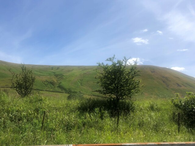
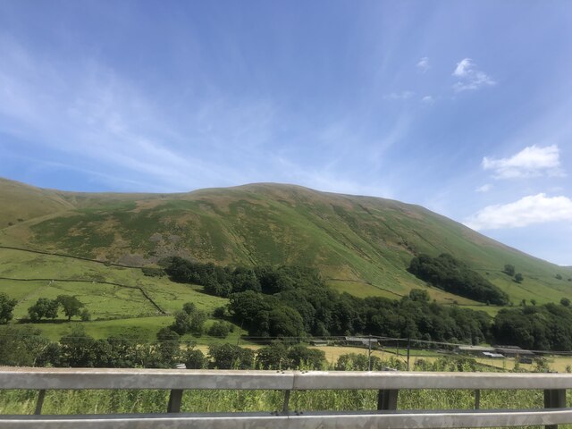
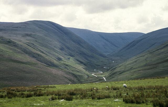
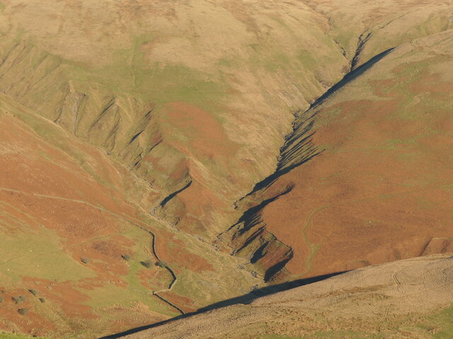
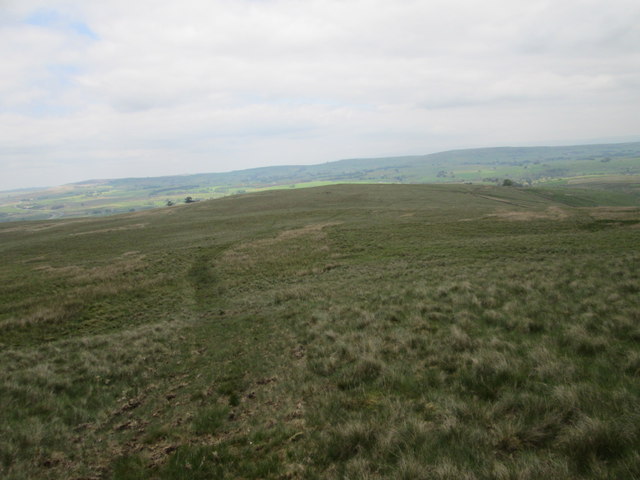
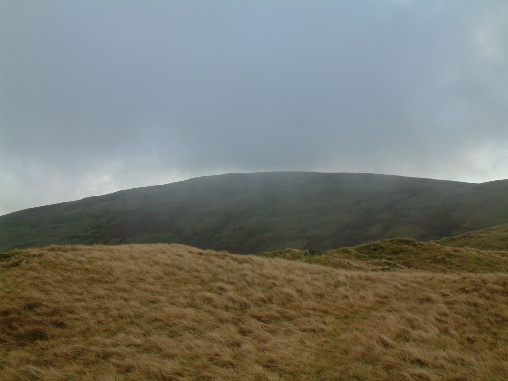
Archer Hill is a prominent hill located in the county of Westmorland, in the northwestern part of England. It is situated within the picturesque Lake District National Park, which is renowned for its breathtaking landscapes and natural beauty.

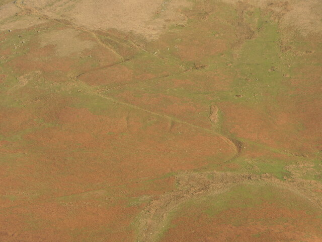
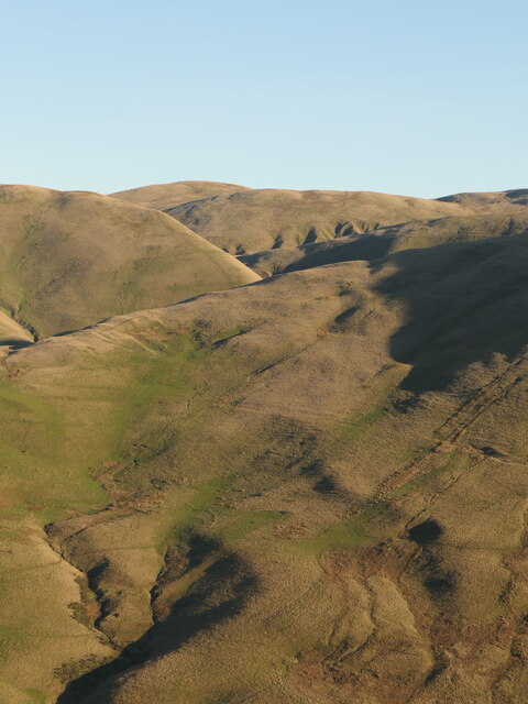
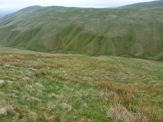
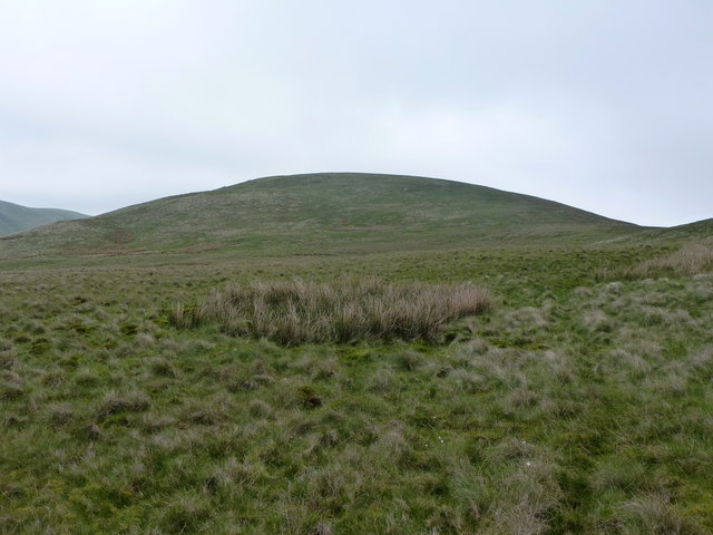
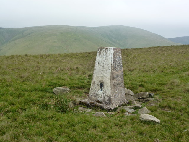
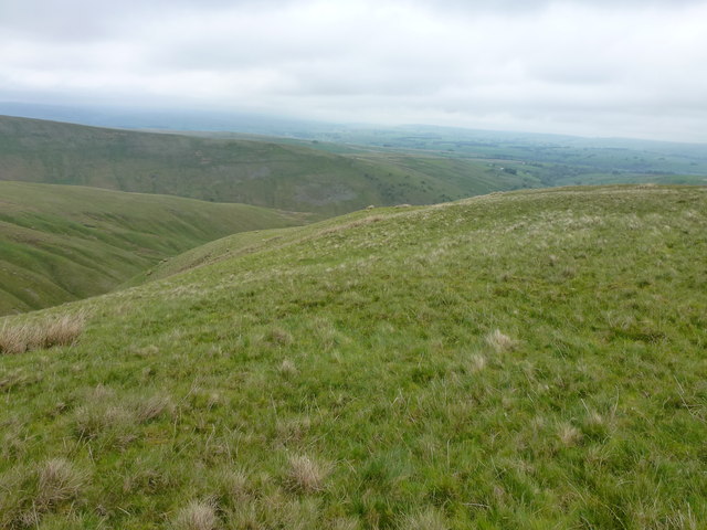
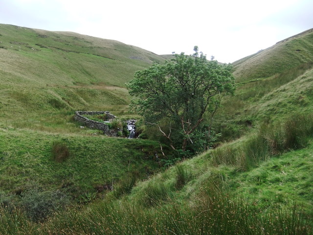
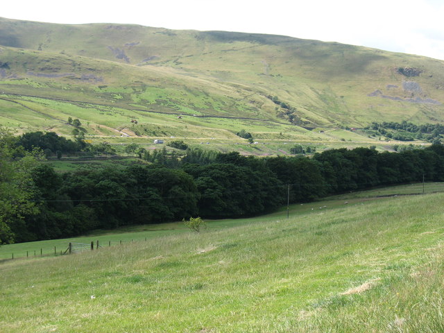
Rising to an elevation of approximately 328 meters (1,076 feet), Archer Hill offers commanding panoramic views of the surrounding countryside. Its location within the Lake District provides visitors with an opportunity to appreciate the stunning scenery, including rolling hills, lush green valleys, and crystal-clear lakes.

Archer Hill is a popular destination for outdoor enthusiasts, offering various activities such as hiking, walking, and photography. There are several well-marked trails leading to the summit, allowing visitors to explore the area and take in the breathtaking views along the way. The hill is also home to diverse flora and fauna, with numerous species of plants and wildlife inhabiting its slopes.

The hill's name, Archer Hill, is believed to have originated from its use as a vantage point for archers during medieval times. Historically, it played a significant role in the defense of the region, offering strategic advantages due to its elevated position.

For those seeking tranquility and a connection with nature, Archer Hill is an ideal destination. Its unspoiled beauty, rich history, and breathtaking vistas make it a must-visit location for anyone exploring the Lake District area.

If you have any feedback on the listing, please let us know in the comments section below.
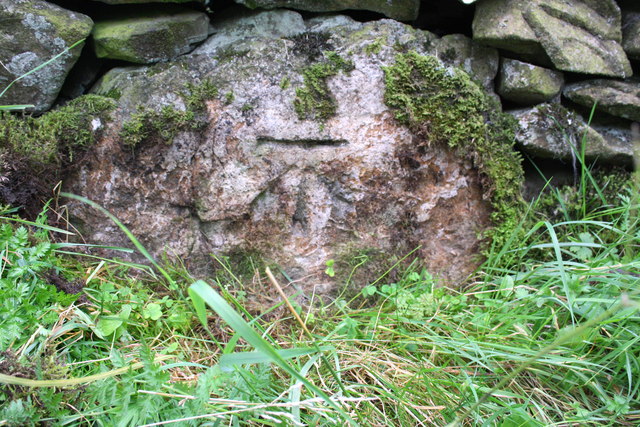
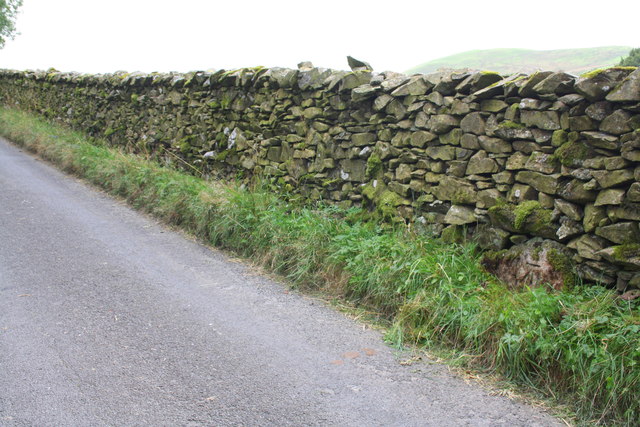
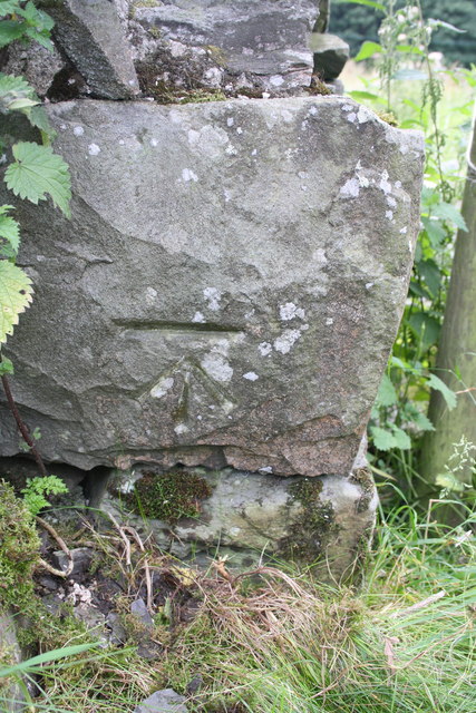
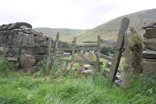
Archer Hill Images

Images are sourced within 2km of 54.402782/-2.5663535 or Grid Reference NY6300. Thanks to Geograph Open Source API. All images are credited.

Temperature inversion in Lunedale The fog has almost evaporated at this point but was still thick over Morecambe Bay and well to the south. The West Coast Main Line and M6 squeeze through the westernmost of the Yorkshire Dales, a narrow corridor between the Lake District National Park (foreground) and the Yorkshire Dales National Park over the river.
Temperature inversion in Lunedale
The fog has almost evaporated at this point but was still thick over Morecambe Bay and well to the south. The West Coast Main Line and M6 squeeze through the westernmost of the Yorkshire Dales, a narrow corridor between the Lake District National Park (foreground) and the Yorkshire Dales National Park over the river.
Langdale Fells from the M6
Blease Fell
Blease Fell
Moorland above Uldale Beck Uldale Beck flows unseen below the declining, foreground slope; it's a tributary of Langdale Beck which drains the main valley in the image.
Moorland above Uldale Beck
Uldale Beck flows unseen below the declining, foreground slope; it's a tributary of Langdale Beck which drains the main valley in the image.
Weasel Gill and Grains Gill Lunedale, Howgill Fells. Grains Gill on the left.
Weasel Gill and Grains Gill
Lunedale, Howgill Fells. Grains Gill on the left.
A path in the Howgill Fells Long and short options on the zigzags.  The steep hillsides  above Lunedale are well provisioned with paths and tracks for access to upland pasture and peat mosses.
A path in the Howgill Fells
Long and short options on the zigzags. The steep hillsides above Lunedale are well provisioned with paths and tracks for access to upland pasture and peat mosses.
Howgill Fells seen from across Lunedale Looking into Yorkshire across the hidden but not unheard M6.
Howgill Fells seen from across Lunedale
Looking into Yorkshire across the hidden but not unheard M6.
Churn Gill
Churn Gill
The slopes of Hand Lake
Trig Point on Middleton (486m)
Northwest slopes of Middleton
Churn Gill
Churn Gill
In the upper Lune valley The river is hidden by the belt of trees. Beyond, the M6 can be seen, here on two slightly different levels.
In the upper Lune valley
The river is hidden by the belt of trees. Beyond, the M6 can be seen, here on two slightly different levels.
Benchmark on boulder in wall on SW side Fairmile Road Ordnance Survey cut mark benchmark described on the Bench Mark Database at <span class="nowrap"><a title="http://www.bench-marks.org.uk/bm48531" rel="nofollow ugc noopener" href="http://www.bench-marks.org.uk/bm48531">Link</a><img style="margin-left:2px;" alt="External link" title="External link - shift click to open in new window" src="https://s1.geograph.org.uk/img/external.png" width="10" height="10"/></span>
Benchmark on boulder in wall on SW side Fairmile Road
Ordnance Survey cut mark benchmark described on the Bench Mark Database at LinkExternal link
Fairmile Road above High Carlingill There is an OS benchmark <a href="https://www.geograph.org.uk/photo/3651561">NY6100 : Benchmark on boulder in wall on SW side Fairmile Road</a> on a boulder at the base of the wall near the right hand edge of the image
Fairmile Road above High Carlingill
There is an OS benchmark NY6100 : Benchmark on boulder in wall on SW side Fairmile Road on a boulder at the base of the wall near the right hand edge of the image
Benchmark on remains of building on Fairmile Road Ordnance Survey cut mark benchmark described on the Bench Mark Database at <span class="nowrap"><a title="http://www.bench-marks.org.uk/bm50933" rel="nofollow ugc noopener" href="http://www.bench-marks.org.uk/bm50933">Link</a><img style="margin-left:2px;" alt="External link" title="External link - shift click to open in new window" src="https://s1.geograph.org.uk/img/external.png" width="10" height="10"/></span>
Benchmark on remains of building on Fairmile Road
Ordnance Survey cut mark benchmark described on the Bench Mark Database at LinkExternal link
Gateway on SW side of Fairmile Road There was a building on the left side of the gateway: now only its roadside wall remains, with an OS benchmark <a href="https://www.geograph.org.uk/photo/3651583">NY6100 : Benchmark on remains of building on Fairmile Road</a> on the roadface corner stone
Gateway on SW side of Fairmile Road
There was a building on the left side of the gateway: now only its roadside wall remains, with an OS benchmark NY6100 : Benchmark on remains of building on Fairmile Road on the roadface corner stone
Knott In the Howgills
Knott
In the Howgills
Show me another place!

Archer Hill is located at Grid Ref: NY6300 (Lat: 54.402782, Lng: -2.5663535)

Administrative County: Cumbria

District: Eden

Police Authority: Cumbria

What 3 Words

///sleep.indulgent.cold. Near Sedbergh, Cumbria

Nearby Locations

Archer Moss Archer Hill

Related Wikis

Tebay rail accident

The Tebay rail accident occurred when four railway workers working on the West Coast Main Line were killed by a runaway wagon near Tebay, Cumbria, England...

Tebay railway station

Tebay railway station was situated on the Lancaster and Carlisle Railway (L&CR) (part of the West Coast Main Line) between Lancaster and Penrith. It served...

Roundthwaite

Roundthwaite is a small village in Cumbria, England. It is located about a mile south west of Tebay, is part of the Tebay parish, and the majority of its...

Grayrigg Forest

Grayrigg Forest is a hill in Cumbria, England, located on the eastern edge of what might be considered the Lake District, and in August 2016 becoming part...

Tebay

Tebay is a village and civil parish in Cumbria, England, within the historic borders of Westmorland. It lies in the upper Lune Valley, at the head of the...

Low Gill railway station

Low Gill railway station served the hamlet of Lowgill, Westmorland (now in Cumbria), England, from 1846 to 1966 on the Lancaster and Carlisle Railway....

Birk Beck

Birk Beck is a minor river in Cumbria.Rising on the fells near Shap, Birk Beck runs south-by-south east, picking up Wasdale Beck (running east and draining...

Howgill Fells

The Howgill Fells are uplands in Northern England between the Lake District and the Yorkshire Dales, lying roughly within a triangle formed by the town...

Nearby Amenities

Located within 500m of 54.402782,-2.5663535
Archer Hill
Place: locality
Lat/Long: 54.4041828/-2.5677302
Ford: yes
Lat/Long: 54.3988058/-2.566814
The data included in this document is from www.openstreetmap.org. The data is made available under ODbL.

Have you been to Archer Hill?

Leave your review of Archer Hill below (or comments, questions and feedback).