Ship Wood

Wood, Forest in Angus

Scotland

Ship Wood

Fields near Letham, north of Arbroath
Fields near Letham, north of Arbroath Credit: Mike Pennington

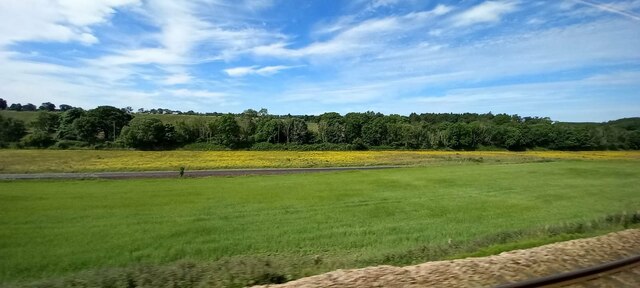
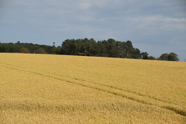
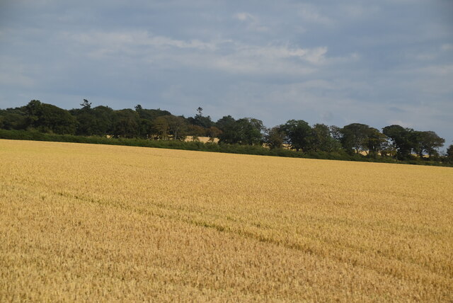
Ship Wood, Angus (Wood, Forest) is a dense woodland located in the county of Angus, Scotland. Covering an area of approximately 100 hectares, it is situated about 10 miles northwest of the town of Forfar. Ship Wood is part of the larger Angus Glens and is surrounded by stunning landscapes and rolling hills.

The woodland is primarily composed of a mixture of broadleaf and coniferous trees, providing a diverse habitat for a variety of plant and animal species. Oak, beech, birch, and pine trees dominate the forest, giving it a rich and vibrant appearance throughout the year. The wood is also home to several rare and endangered species, including the capercaillie, a large woodland grouse native to Scotland.

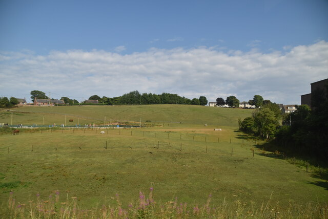
Ship Wood offers a range of recreational activities for visitors to enjoy. There are well-maintained trails and paths that wind through the forest, making it an ideal destination for walking, hiking, and cycling. The forest also provides opportunities for birdwatching and wildlife spotting, with many species of birds, deer, and small mammals residing within its boundaries.

In addition to its natural beauty, Ship Wood has historical significance. The woodland was once used for timber production, providing materials for shipbuilding during the 18th and 19th centuries. The name "Ship Wood" reflects this past association and serves as a reminder of the area's industrial heritage.

Overall, Ship Wood, Angus (Wood, Forest) is a captivating and picturesque woodland that offers a tranquil escape for nature enthusiasts and history lovers alike.

If you have any feedback on the listing, please let us know in the comments section below.
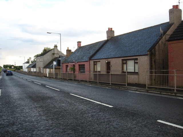
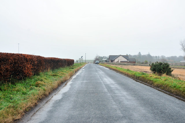
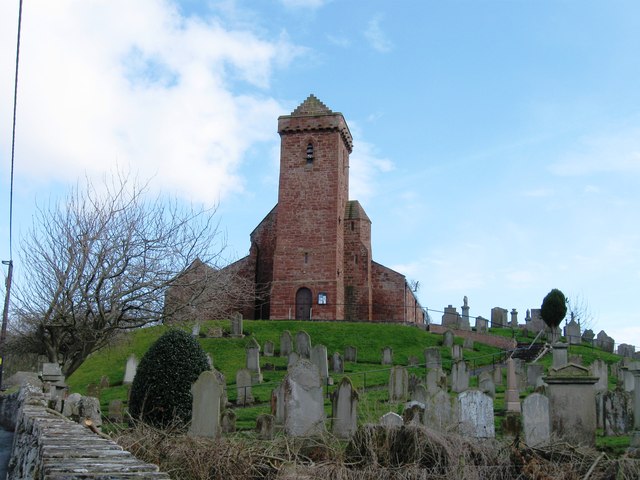
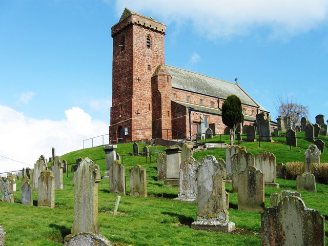
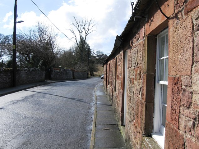
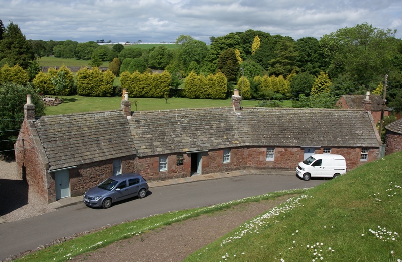
Ship Wood Images

Images are sourced within 2km of 56.585157/-2.6023538 or Grid Reference NO6343. Thanks to Geograph Open Source API. All images are credited.

Fields near Letham, north of Arbroath
Trackside pasture
Trackside pasture
Wheat field
Wheat field
Wheat field
Wheat field
Wheat field
Wheat field
Wheat field
Wheat field
Museum of Carved Stones The Museum of Carved Stones in Kirkstyle, St Vigeans.
Museum of Carved Stones
The Museum of Carved Stones in Kirkstyle, St Vigeans.
Flood Storage Area The new flood defences at St Vigeans near Arbroath
Flood Storage Area
The new flood defences at St Vigeans near Arbroath
Marshland at St Vigeans New flood defences at St Vigeans.
Marshland at St Vigeans
New flood defences at St Vigeans.
St Vigeans Church In Scottish folklore a Keptie, is a treacherous, malicious water spirit that lurks in streams and rivers. It usually assumes the form of a black horse and enticed people to mount him. The church at St Vigeans is built on top of a mould that keeps a Keptie contained.
St Vigeans Church
In Scottish folklore a Keptie, is a treacherous, malicious water spirit that lurks in streams and rivers. It usually assumes the form of a black horse and enticed people to mount him. The church at St Vigeans is built on top of a mould that keeps a Keptie contained.
Church Hall St Vigeans Church hall recently painted.
Church Hall
St Vigeans Church hall recently painted.
Drainage at St Vigeans Water from a culvert draining into the Brothock Burn.
Drainage at St Vigeans
Water from a culvert draining into the Brothock Burn.
Group of houses north of airfield
Cottages and houses at Marywell in Aberdeenshire
Minor road near Woodville House
St Vigeans
St Vigeans
St Vigeans
St Vigeans
St Vigeans
St Vigeans
Show me another place!

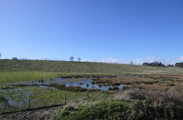
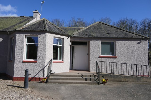
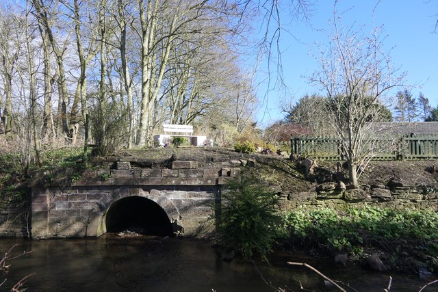
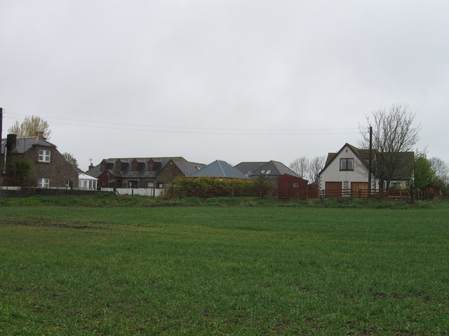
Ship Wood is located at Grid Ref: NO6343 (Lat: 56.585157, Lng: -2.6023538)

Unitary Authority: Angus

Police Authority: Tayside

What 3 Words

///pushover.afflict.twirls. Near Arbroath, Angus

Related Wikis

St Vigeans Sculptured Stones Museum

St Vigeans Sculptured Stones Museum, located in the Angus village of St Vigeans, houses an outstanding collection of Pictish carved stones. St Vigeans...

St Vigeans

St Vigeans is a small village and parish in Angus, Scotland, immediately to the north of Arbroath. Originally rural, it is now more or less a suburb of...
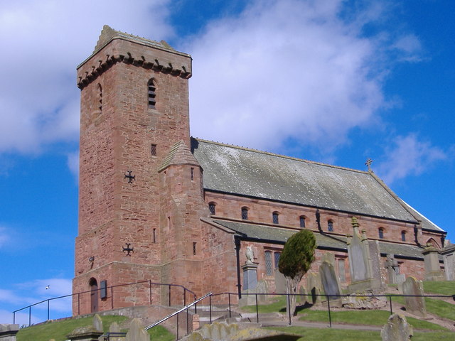
St Vigeans Church

St Vigeans Church is a Church of Scotland parish church, serving the parish of the ancient village of St Vigeans on the outskirts of Arbroath, Angus, Scotland...

RM Condor

RM Condor is a large Royal Marines base located near Arbroath in East Angus, Scotland. The base also houses 7 (Sphinx) Battery Royal Artillery, part of...

Nearby Amenities

Located within 500m of 56.585157,-2.6023538
Garrison Farm
Place: hamlet
Lat/Long: 56.5853545/-2.6101355
Power: pole
Lat/Long: 56.5822247/-2.5973401
Power: pole
Lat/Long: 56.5829706/-2.5972745
Power: pole
Lat/Long: 56.5837837/-2.596291
Power: pole
Lat/Long: 56.5829917/-2.5983643
Power: pole
Lat/Long: 56.5836592/-2.5998114
Power: pole
Lat/Long: 56.584146/-2.5995627
Power: pole
Lat/Long: 56.5846653/-2.6015998
Power: pole
Lat/Long: 56.5852828/-2.6021312
Power: pole
Lat/Long: 56.5858668/-2.6025653
Power: pole
Lat/Long: 56.5861644/-2.6037501
Power: pole
Lat/Long: 56.586584/-2.6053871
Power: pole
Lat/Long: 56.5869862/-2.6057873
Power: pole
Lat/Long: 56.5875228/-2.6062937
Power: pole
Lat/Long: 56.5881229/-2.6068138
Power: pole
Lat/Long: 56.5886533/-2.607171
Power: pole
Lat/Long: 56.5863636/-2.602814
Power: pole
Lat/Long: 56.5859141/-2.6046522
Power: pole
Lat/Long: 56.5858519/-2.6057873
Power: pole
Lat/Long: 56.5867197/-2.6027394
Power: pole
Lat/Long: 56.5871144/-2.600908
Power: pole
Lat/Long: 56.5873597/-2.5996848
Power: pole
Lat/Long: 56.5876037/-2.5984977
Power: pole
Lat/Long: 56.5878054/-2.5974554
Letham Mill siding
Historic Railway: spur_junction
Railway Position: 18.3125
Lat/Long: 56.5834725/-2.5972068
The data included in this document is from www.openstreetmap.org. The data is made available under ODbL.

Have you been to Ship Wood?

Leave your review of Ship Wood below (or comments, questions and feedback).