Faw Hill
Hill, Mountain in Roxburghshire
Scotland
Faw Hill
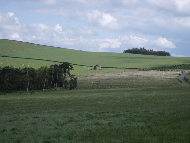
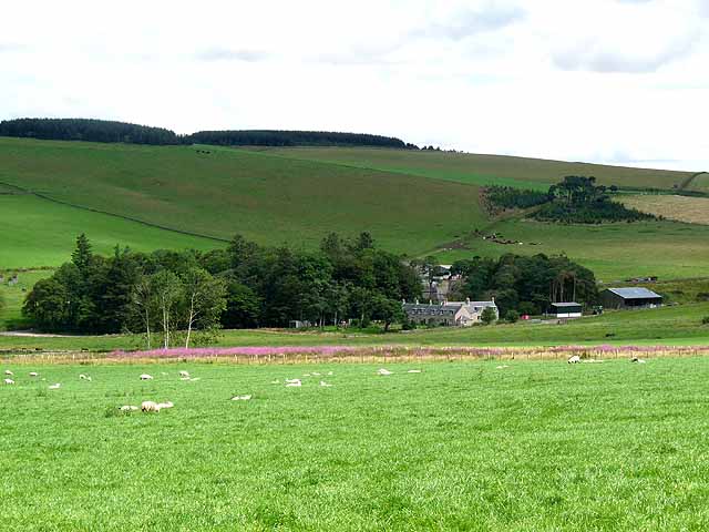
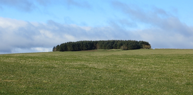
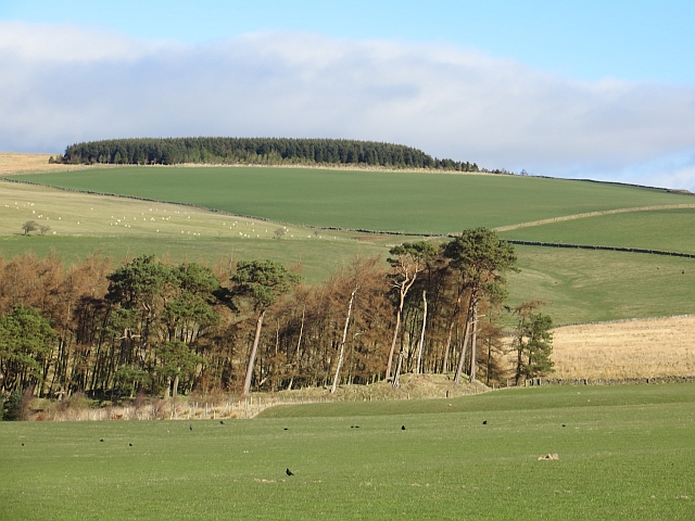
Faw Hill is a prominent hill located in the rural area of Roxburghshire, Scotland. Situated in the southern part of the country, it forms part of the rolling landscape of the Scottish Borders region. With an elevation of approximately 349 meters (1,145 feet), Faw Hill offers stunning panoramic views of the surrounding countryside.
The hill is covered in lush green grass and dotted with a variety of native vegetation, such as heather and wildflowers, adding to its natural beauty. Faw Hill is a popular destination for hikers and outdoor enthusiasts, who are drawn to its peaceful and picturesque setting.
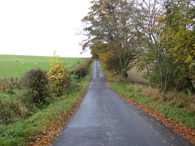
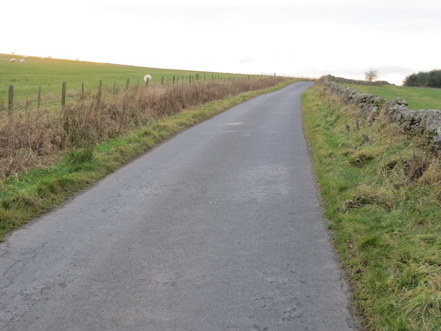
The terrain of Faw Hill is relatively gentle, making it accessible to walkers of all abilities. There are several well-defined paths and trails that lead to the summit, offering visitors an opportunity to explore the area's natural wonders. Along the way, one may encounter local wildlife, including birds, rabbits, and occasionally deer.
At the top of Faw Hill, visitors are rewarded with breathtaking views of the surrounding countryside. On a clear day, it is possible to see for miles, including the nearby Cheviot Hills and the River Teviot. The hill's summit also provides an ideal spot for picnics or simply taking in the peaceful atmosphere.
Faw Hill is a hidden gem within Roxburghshire, offering a tranquil escape for those seeking a connection with nature. Its accessibility, natural beauty, and stunning vistas make it a must-visit destination for outdoor enthusiasts and those looking to explore the Scottish countryside.
If you have any feedback on the listing, please let us know in the comments section below.
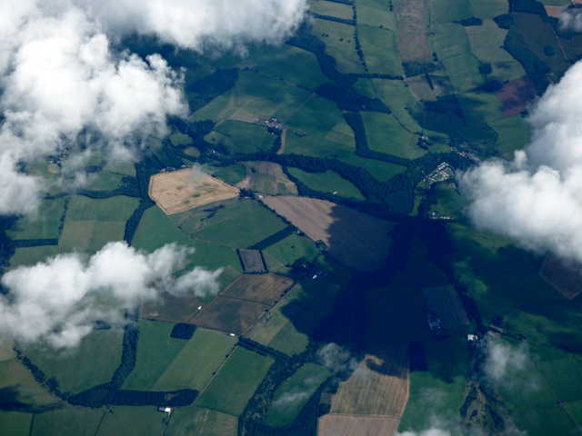
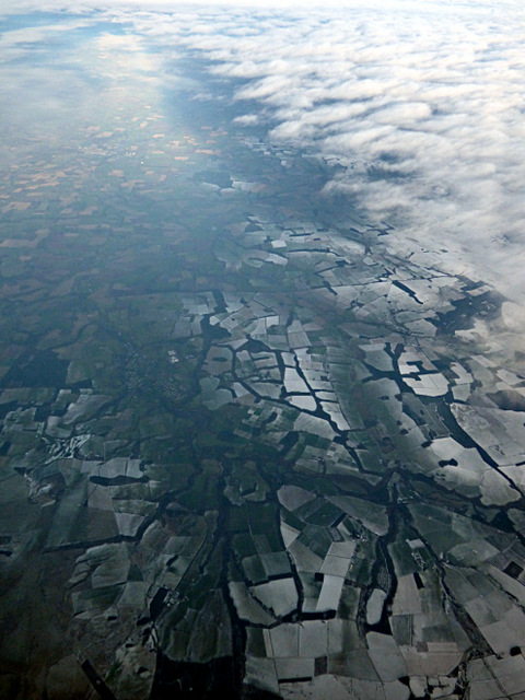
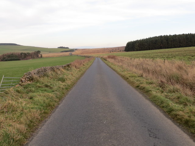
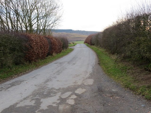
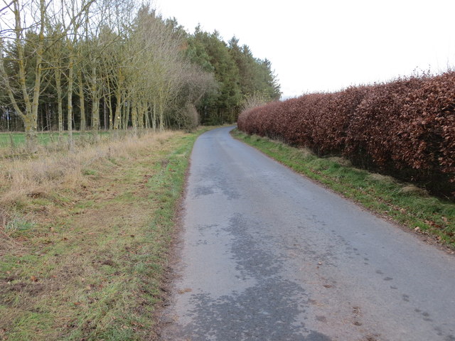
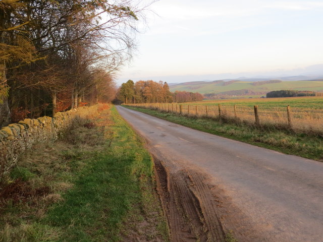
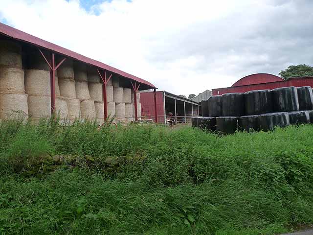
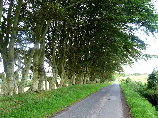
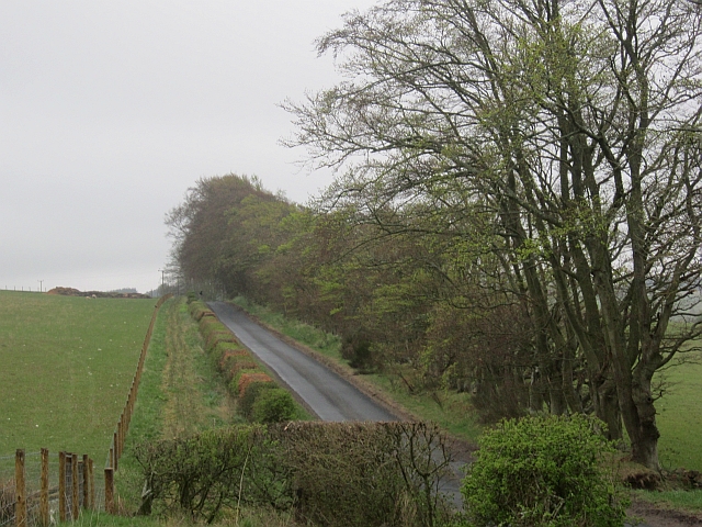
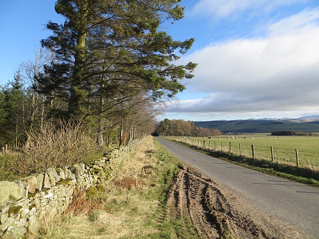
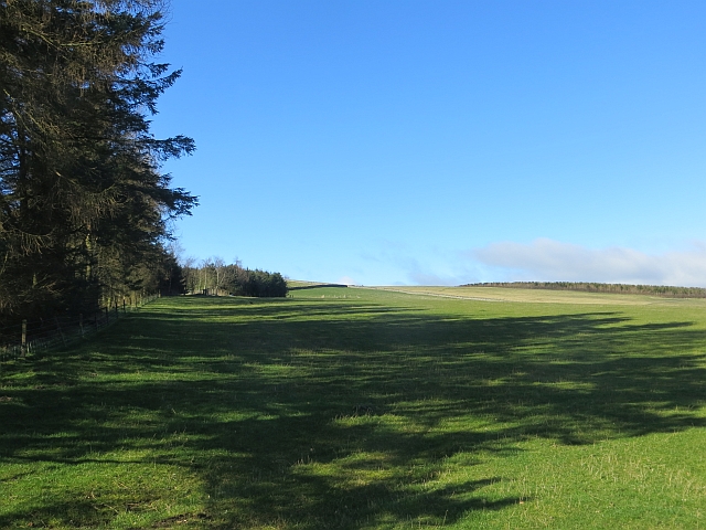
Faw Hill Images
Images are sourced within 2km of 55.417753/-2.585957 or Grid Reference NT6313. Thanks to Geograph Open Source API. All images are credited.

Faw Hill is located at Grid Ref: NT6313 (Lat: 55.417753, Lng: -2.585957)
Unitary Authority: The Scottish Borders
Police Authority: The Lothians and Scottish Borders
What 3 Words
///mason.ally.sapping. Near Jedburgh, Scottish Borders
Nearby Locations
Related Wikis

Abbotrule
Abbotrule is a hamlet south of the B6357 road, in the Scottish Borders area of Scotland, on Rule Burn, east of the Rule Water. Places nearby include Bedrule...

Bairnkine
Bairnkine is a hamlet on the Jed Water in the Scottish Borders area of Scotland, on the A68, south of Jedburgh. Other places nearby include Abbotrule,...

Fulton Tower
Fulton Tower is a ruined 16th century tower house, about 4.5 miles (7.2 km) south west of Jedburgh, Scottish Borders, Scotland, and about 2 miles (3.2...

Hallrule
Hallrule is a hamlet on the B6357 road, in the Scottish Borders area of Scotland, on the Rule Water, near Abbotrule, Bedrule Bonchester Bridge, Denholm...
Nearby Amenities
Located within 500m of 55.417753,-2.585957Have you been to Faw Hill?
Leave your review of Faw Hill below (or comments, questions and feedback).