Wuddy Law
Hill, Mountain in Angus
Scotland
Wuddy Law
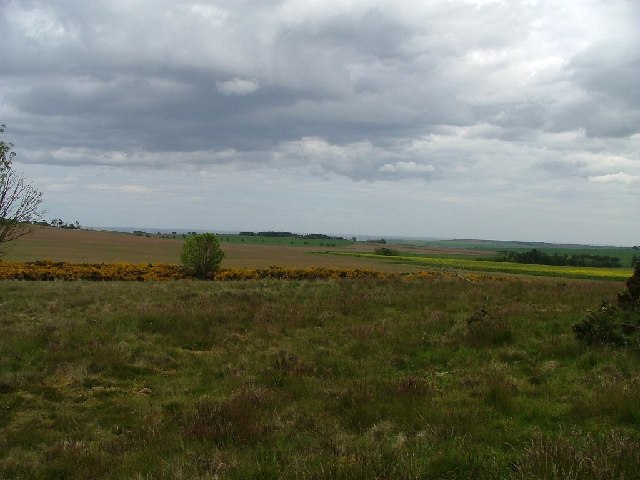
Wuddy Law is a prominent hill/mountain located in Angus, Scotland. It stands at an impressive height of approximately 466 meters (1,529 feet) above sea level. Situated in the southern part of the Angus region, Wuddy Law offers breathtaking panoramic views of the surrounding landscape.
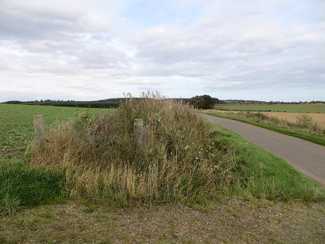
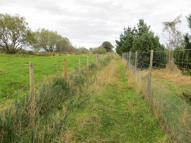
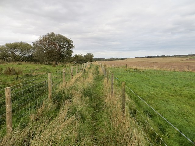
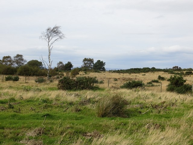
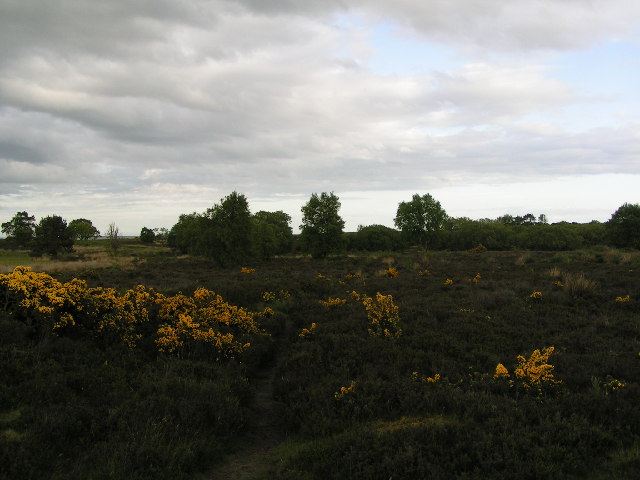
The hill/mountain is known for its distinctive shape and rugged terrain, making it a popular destination for outdoor enthusiasts and hikers. Its slopes are covered in a mix of heather, grass, and rocky outcrops, providing a challenging yet rewarding ascent for those seeking adventure.
Wuddy Law is surrounded by picturesque countryside, with rolling hills and fertile valleys, adding to its scenic beauty. On a clear day, visitors can enjoy stunning vistas that stretch as far as the eye can see, offering glimpses of neighboring hills and mountains, including the Sidlaw Hills and the Grampian Mountains.
The area around Wuddy Law is rich in history and folklore. Ancient stone circles and burial sites can be found in the vicinity, suggesting human habitation in the area since prehistoric times. The hill/mountain also played a significant role in local folklore, with tales of mythical creatures and ancient rituals associated with its presence.
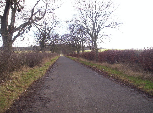
Access to Wuddy Law is relatively easy, with several well-marked trails and paths leading to the summit. It is advisable for visitors to come prepared with appropriate hiking gear and to check weather conditions beforehand, as the hill/mountain can be subject to unpredictable weather patterns.
Overall, Wuddy Law is a captivating natural landmark in Angus, Scotland, offering outdoor enthusiasts and nature lovers a chance to immerse themselves in the region's stunning beauty and rich history.
If you have any feedback on the listing, please let us know in the comments section below.
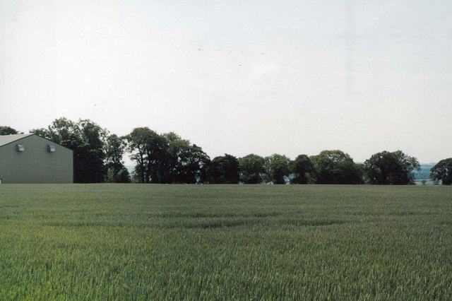
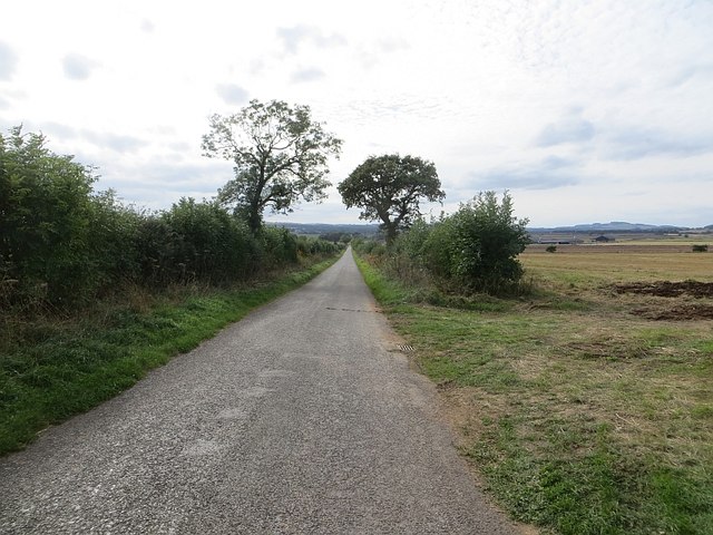
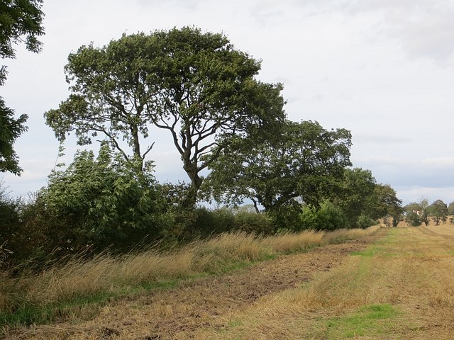
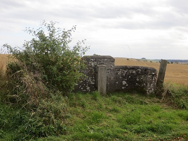
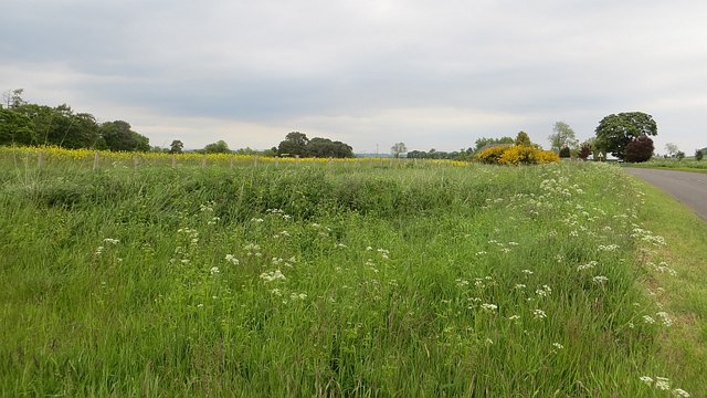
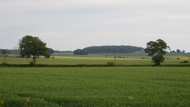
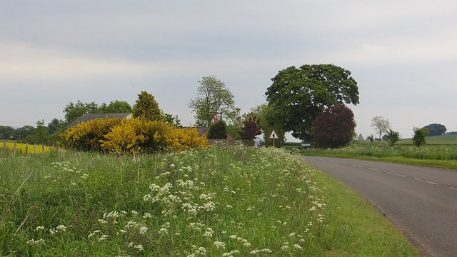
Wuddy Law Images
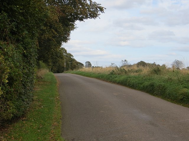
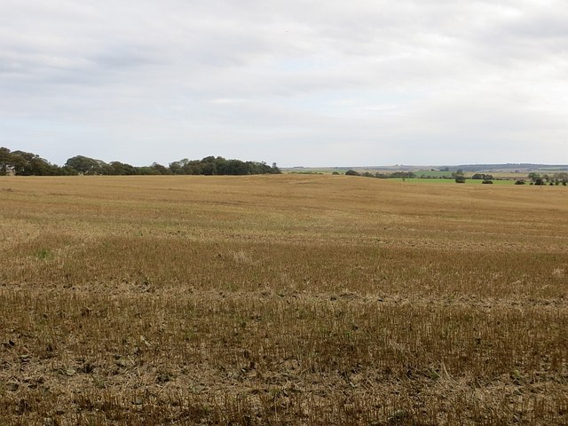
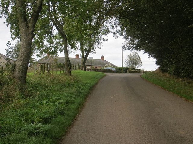
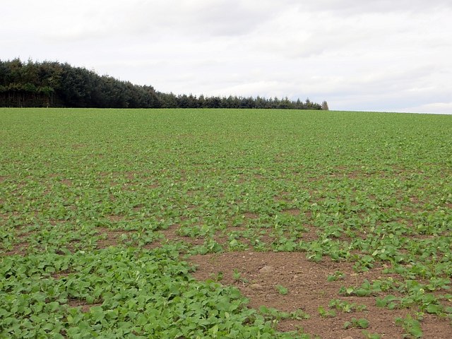
Images are sourced within 2km of 56.661354/-2.605282 or Grid Reference NO6252. Thanks to Geograph Open Source API. All images are credited.
Wuddy Law is located at Grid Ref: NO6252 (Lat: 56.661354, Lng: -2.605282)
Unitary Authority: Angus
Police Authority: Tayside
What 3 Words
///aura.pens.education. Near Friockheim, Angus
Nearby Locations
Related Wikis
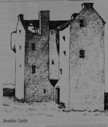
Braikie Castle
Braikie Castle is a late 16th century Scottish tower house, midway between Arbroath and Brechin, east of the village of Friockheim in the parish of Kinnell...

RAF Kinnell
Royal Air Force Kinnell or more simply RAF Kinnell is a former Royal Air Force satellite station located near to Friockheim, Angus, Scotland. == History... ==
Farnell Road railway station
Farnell Road railway station served the village of Farnell, Angus, Scotland from 1848 to 1956 on the Aberdeen Railway. == History == The station opened...

Farnell, Angus
Farnell is a village in Angus, Scotland. It lies 2 miles south of the River South Esk, between Brechin and Montrose, near Kinnaird Castle. == References ==
Nearby Amenities
Located within 500m of 56.661354,-2.605282Have you been to Wuddy Law?
Leave your review of Wuddy Law below (or comments, questions and feedback).