West Dun Hill
Hill, Mountain in Northumberland
England
West Dun Hill
West Dun Hill is a prominent natural feature located in the county of Northumberland, England. It is classified as a hill, with an elevation of approximately 269 meters (883 feet) above sea level. The hill is situated within the North Pennines Area of Outstanding Natural Beauty, which further highlights its scenic and environmental significance.
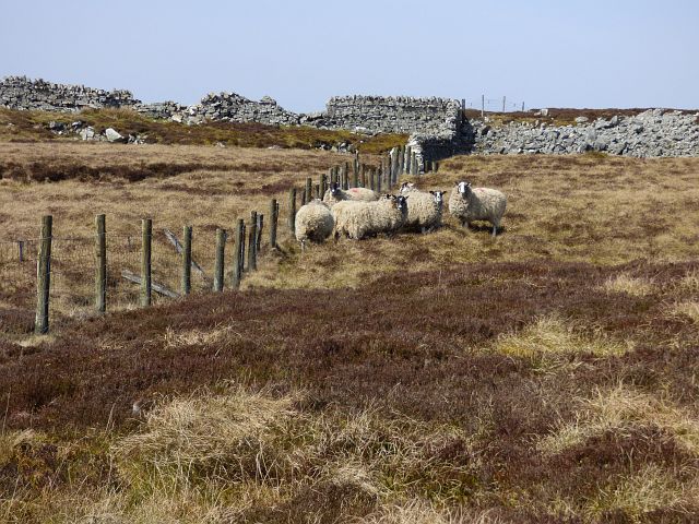
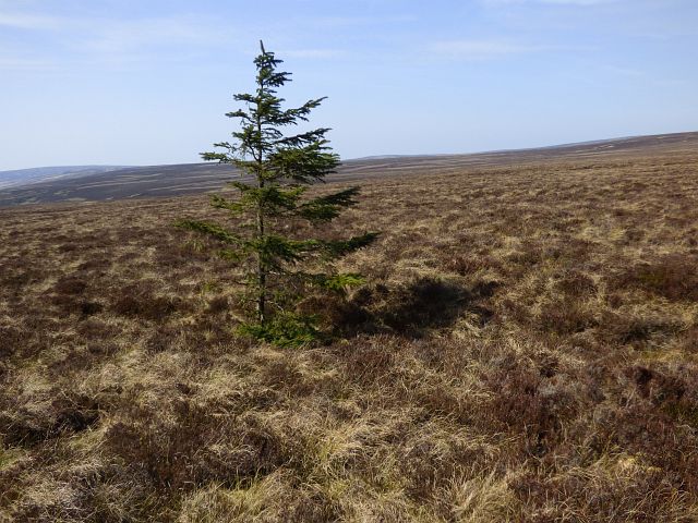
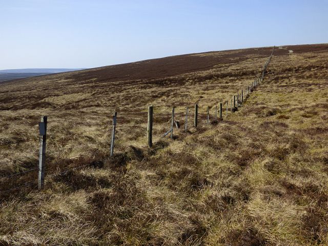
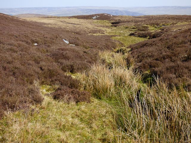
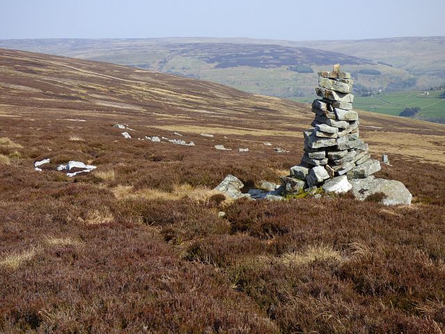
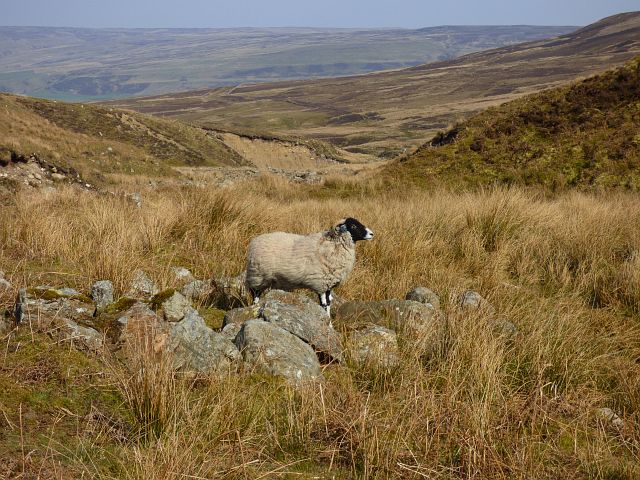
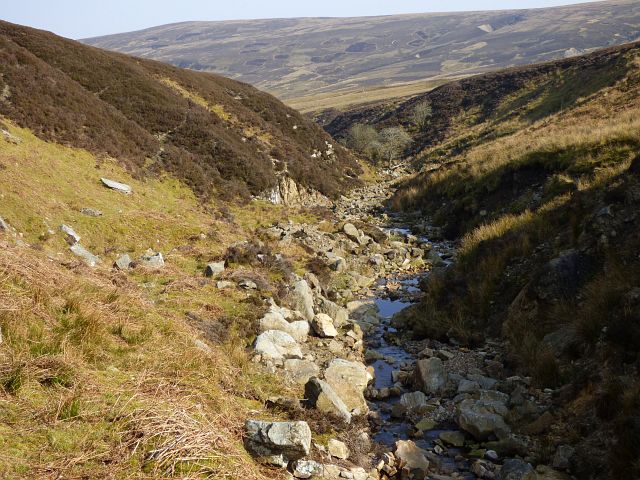
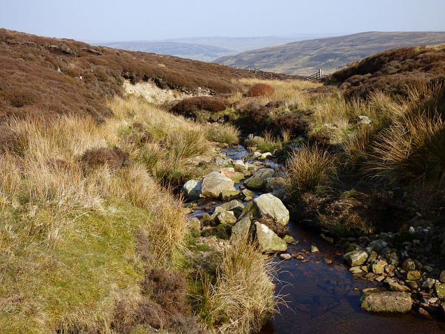
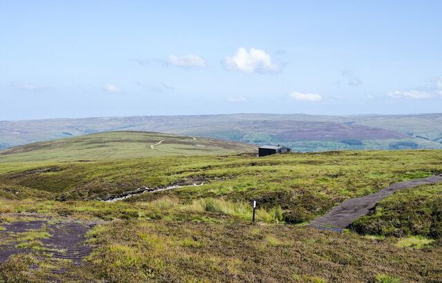
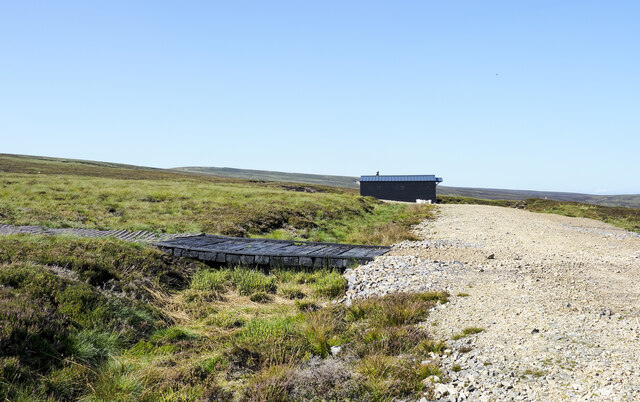
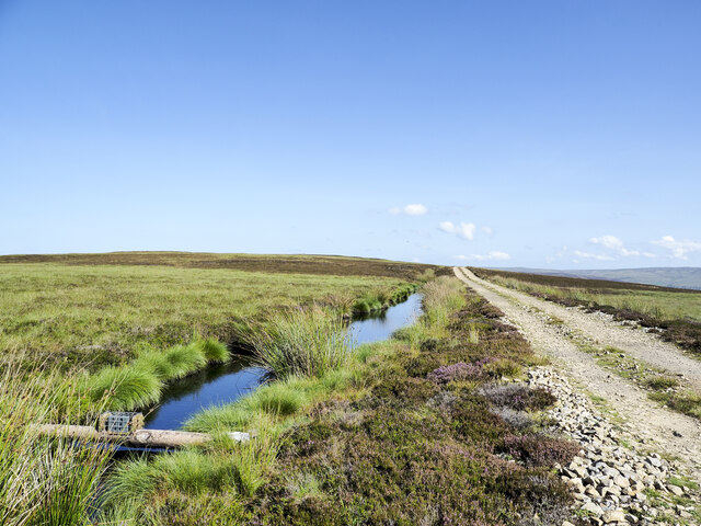
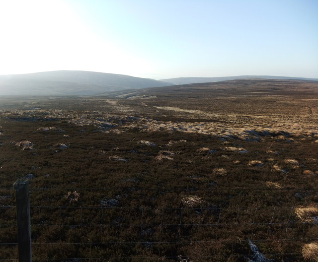
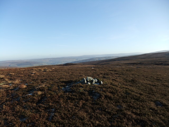
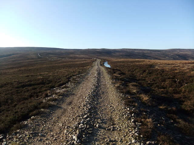
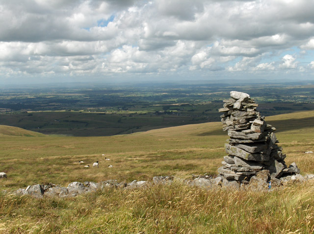
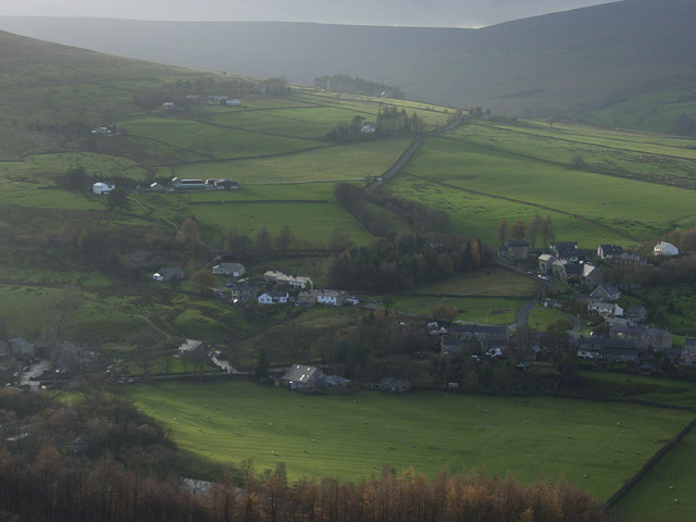
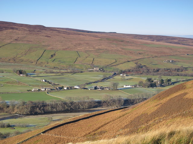
West Dun Hill is characterized by its rolling terrain, covered in lush greenery and heather. It offers stunning panoramic views of the surrounding countryside, including the nearby village of Blanchland and the Derwent Reservoir. The hill's location at the edge of the North Pennines also provides a clear vantage point for observing the vast expanse of the Northumberland National Park to the west.
The hill is of geological interest, displaying evidence of its volcanic origins. It is composed primarily of Whin Sill, a type of igneous rock formed by the solidification of magma. This geological composition contributes to the distinctiveness of the landscape and adds to its appeal for both nature enthusiasts and geology enthusiasts alike.
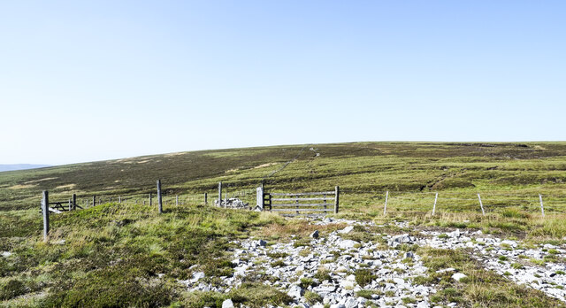
West Dun Hill is a popular destination for outdoor activities such as hiking and nature walks, offering a range of trails that cater to different fitness levels. Its location within the North Pennines Area of Outstanding Natural Beauty ensures the preservation and protection of the hill's natural environment, making it an ideal destination for those seeking tranquility and a connection with nature.
In conclusion, West Dun Hill in Northumberland is a picturesque and geologically significant hill that offers breathtaking views, recreational opportunities, and a chance to appreciate the natural beauty of the North Pennines region.
If you have any feedback on the listing, please let us know in the comments section below.
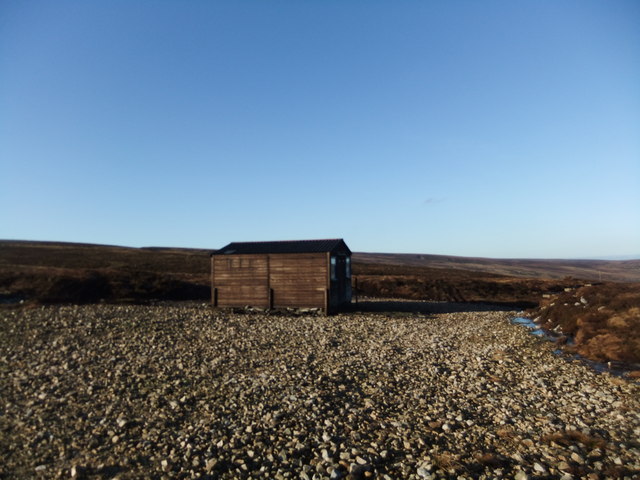
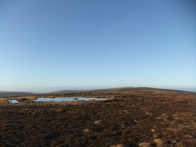
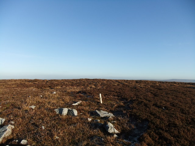
West Dun Hill Images
Images are sourced within 2km of 54.86401/-2.5788001 or Grid Reference NY6252. Thanks to Geograph Open Source API. All images are credited.
West Dun Hill is located at Grid Ref: NY6252 (Lat: 54.86401, Lng: -2.5788001)
Unitary Authority: Northumberland
Police Authority: Northumbria
What 3 Words
///rejoined.donation.gives. Near Alston, Cumbria
Nearby Locations
Related Wikis

Geltsdale & Glendue Fells
Geltsdale & Glendue Fells is a Site of Special Scientific Interest in the North Pennines, England. The site has an area of 8059 ha, partly in Cumbria...

Aules Hill Meadows
Aules Hill Meadows is the name given to a Site of Special Scientific Interest (SSSI) in Northumberland, England. The site, listed since 1992, is a set...
Cold Fell (Pennines)
Cold Fell is a mountain in the northern Pennines, in Cumbria, England. Lying among the northernmost uplands of the North Pennines AONB, it is the most...
Slaggyford
Slaggyford is a village in the civil parish of Knaresdale with Kirkhaugh, in Northumberland, England about 5 miles (8 km) north of Alston, Cumbria. It...

Slaggyford railway station
Slaggyford was a railway station on the Alston Line, which ran between Haltwhistle and Alston. The station served the village of Slaggyford in Northumberland...
Knarsdale
Knarsdale, historically Knaresdale, is a village and former civil parish, now in the parish of Knaresdale with Kirkhaugh, in Northumberland, England about...
Geltsdale
Geltsdale is a hamlet and former civil parish, now in the parish of Castle Carrock, in the Cumberland district, in the ceremonial county of Cumbria, England...

Lintley Halt railway station
Lintley Halt is a railway station on the South Tynedale Railway, which runs between Slaggyford and Alston. The station is located about 1+1⁄4 miles (2...
Nearby Amenities
Located within 500m of 54.86401,-2.5788001Have you been to West Dun Hill?
Leave your review of West Dun Hill below (or comments, questions and feedback).