Little Blacklaw Hill
Hill, Mountain in Cumberland Carlisle
England
Little Blacklaw Hill
Little Blacklaw Hill is a prominent hill located in the county of Cumberland, England. Standing at an elevation of 597 meters (1,959 feet), it is classified as a hill rather than a mountain. It lies within the expansive Lake District National Park, specifically in the northern part of the county.
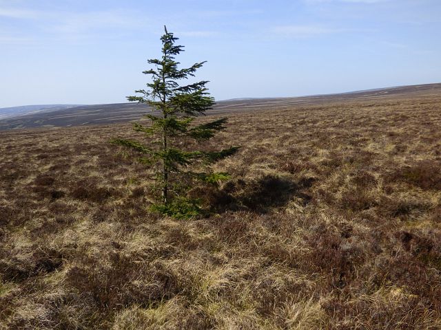
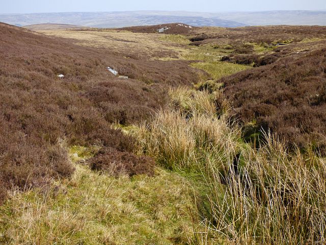
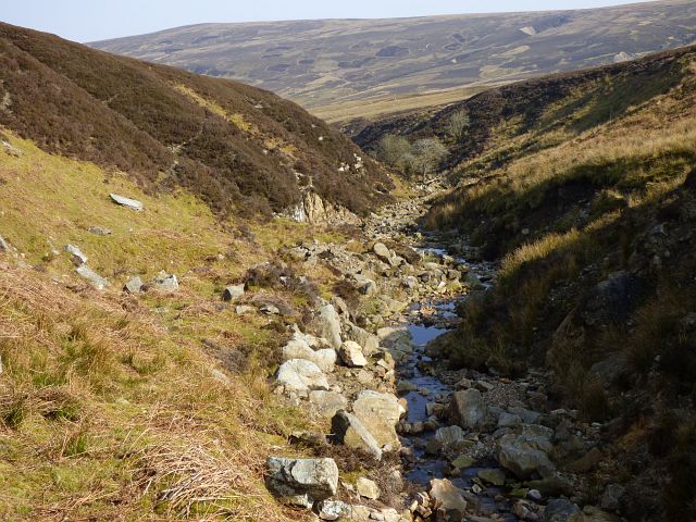
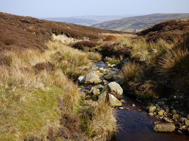
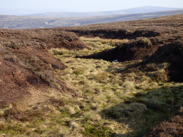
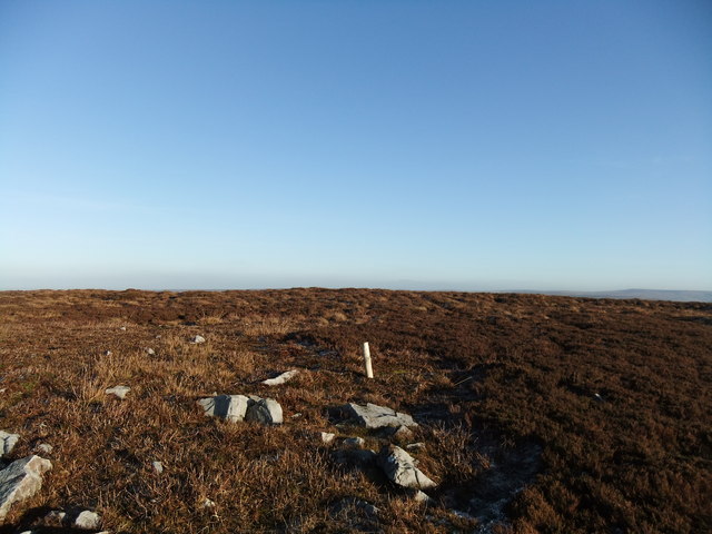
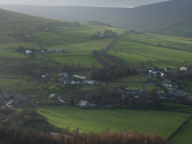
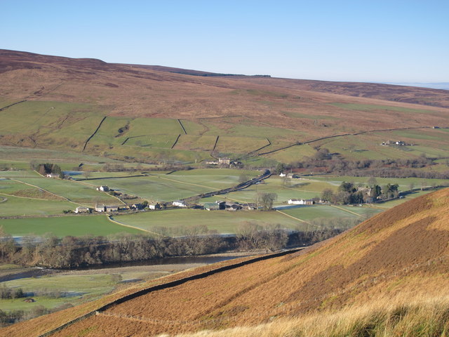
The hill is characterized by its distinct conical shape and is composed primarily of volcanic rocks, including andesite and basalt. It is situated in an area that features a varied terrain, with rolling hills, deep valleys, and numerous lakes, which are a hallmark of the Lake District region.
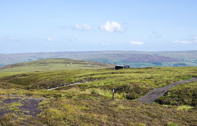
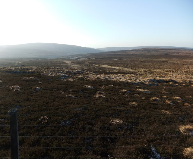
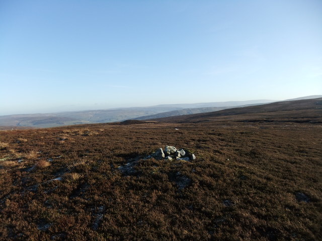
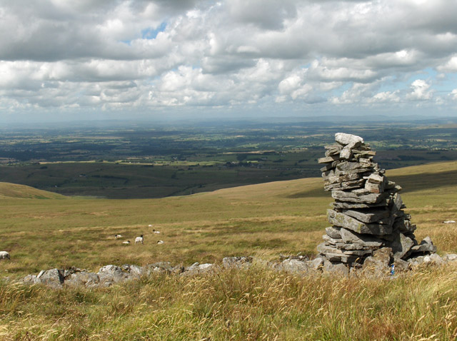
Little Blacklaw Hill offers stunning panoramic views of the surrounding landscape, including the nearby Uldale Fells and Skiddaw mountain range. On a clear day, visitors can also catch glimpses of the Solway Firth and the Scottish hills in the distance.
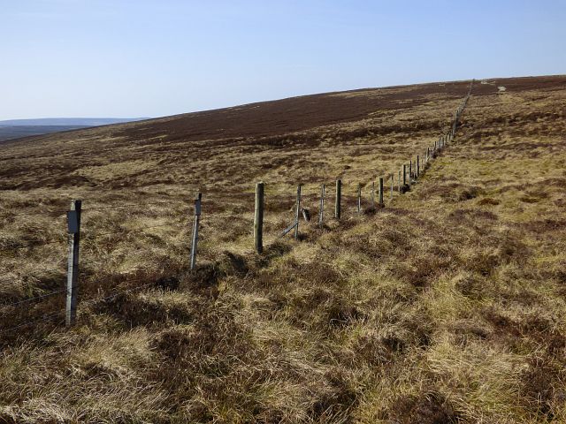
The hill is a popular destination for hikers and outdoor enthusiasts, with several well-marked trails leading to its summit. These trails cater to a range of abilities, making it accessible to both experienced hikers and casual walkers. The ascent to the top provides a moderate challenge, rewarding climbers with breathtaking vistas at every turn.
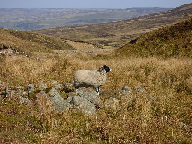
Little Blacklaw Hill is not only a natural wonder but also hosts an array of flora and fauna. The hillside is covered in heather and grasses, providing habitat for various bird species and small mammals. Visitors may encounter mountain hares, red grouse, and even the occasional deer or fox.
Overall, Little Blacklaw Hill is a captivating destination within the Lake District National Park, offering outdoor enthusiasts a chance to experience the beauty of Cumberland's countryside while enjoying breathtaking views and diverse wildlife.
If you have any feedback on the listing, please let us know in the comments section below.
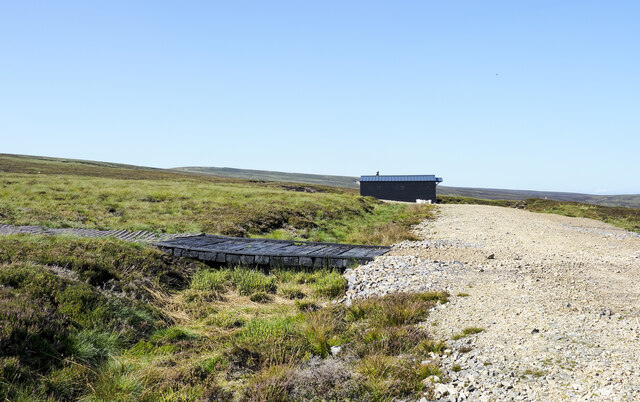
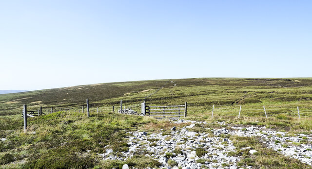
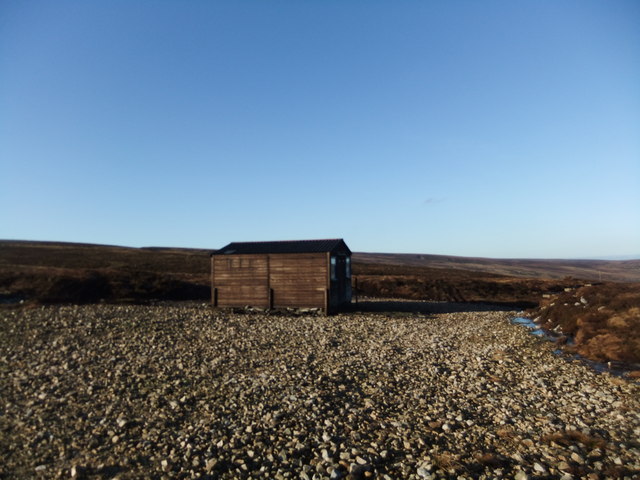
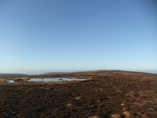
Little Blacklaw Hill Images
Images are sourced within 2km of 54.869435/-2.5886478 or Grid Reference NY6252. Thanks to Geograph Open Source API. All images are credited.


Little Blacklaw Hill is located at Grid Ref: NY6252 (Lat: 54.869435, Lng: -2.5886478)
Administrative County: Cumbria
District: Carlisle
Police Authority: Cumbria
What 3 Words
///deduct.signed.delighted. Near Alston, Cumbria
Nearby Locations
Related Wikis

Geltsdale & Glendue Fells
Geltsdale & Glendue Fells is a Site of Special Scientific Interest in the North Pennines, England. The site has an area of 8059 ha, partly in Cumbria...
Cold Fell (Pennines)
Cold Fell is a mountain in the northern Pennines, in Cumbria, England. Lying among the northernmost uplands of the North Pennines AONB, it is the most...

Aules Hill Meadows
Aules Hill Meadows is the name given to a Site of Special Scientific Interest (SSSI) in Northumberland, England. The site, listed since 1992, is a set...
Slaggyford
Slaggyford is a village in the civil parish of Knaresdale with Kirkhaugh, in Northumberland, England about 5 miles (8 km) north of Alston, Cumbria. It...
Knarsdale
Knarsdale, historically Knaresdale, is a village and former civil parish, now in the parish of Knaresdale with Kirkhaugh, in Northumberland, England about...

Slaggyford railway station
Slaggyford was a railway station on the Alston Line, which ran between Haltwhistle and Alston. The station served the village of Slaggyford in Northumberland...
Geltsdale
Geltsdale is a hamlet and former civil parish, now in the parish of Castle Carrock, in the Cumberland district, in the ceremonial county of Cumbria, England...

Midgeholme
Midgeholme is a hamlet and civil parish in City of Carlisle district, Cumbria, England. At the 2001 census the parish had a population of 67.The parish...
Nearby Amenities
Located within 500m of 54.869435,-2.5886478Have you been to Little Blacklaw Hill?
Leave your review of Little Blacklaw Hill below (or comments, questions and feedback).