Muckle Ord
Hill, Mountain in Aberdeenshire
Scotland
Muckle Ord
The requested URL returned error: 429 Too Many Requests
If you have any feedback on the listing, please let us know in the comments section below.
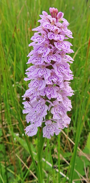
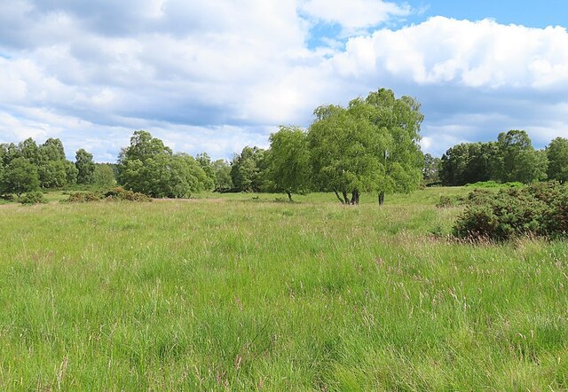
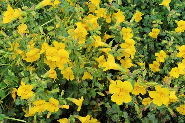
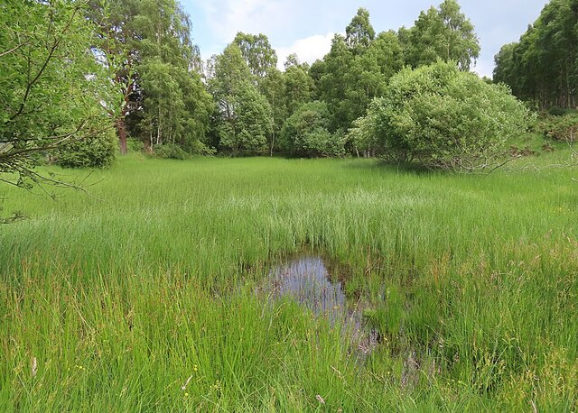
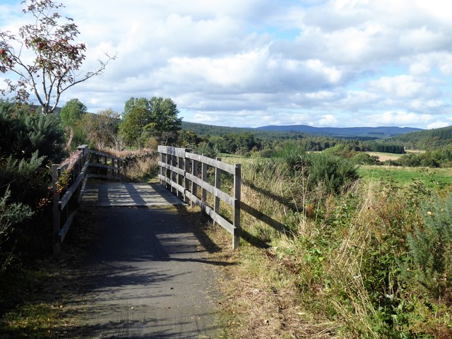
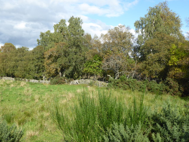
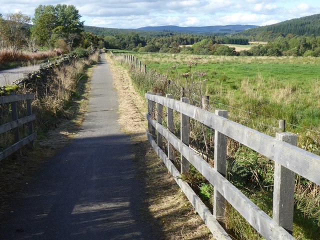
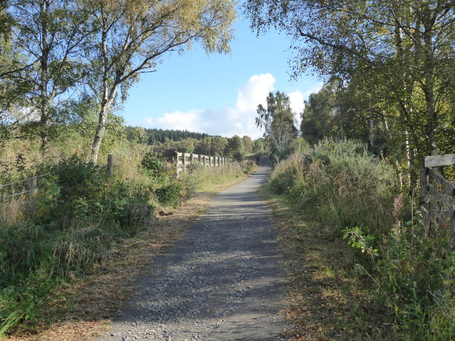
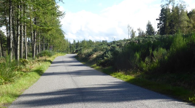
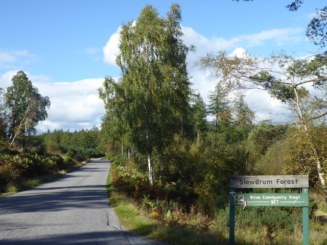
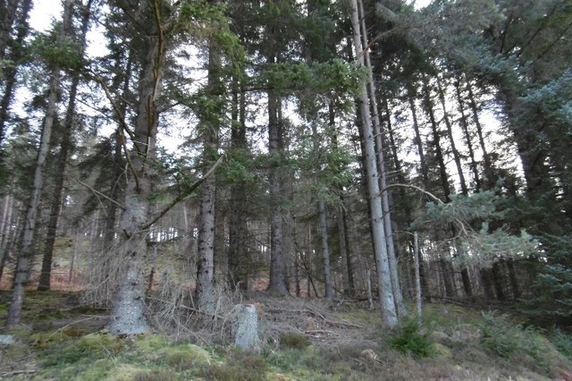
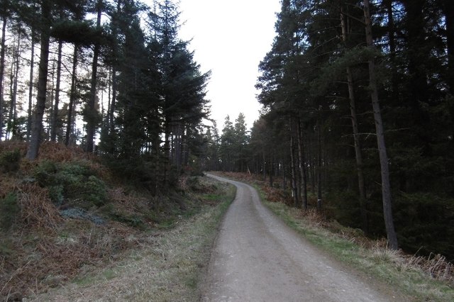
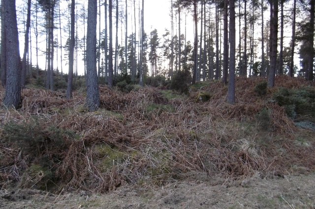
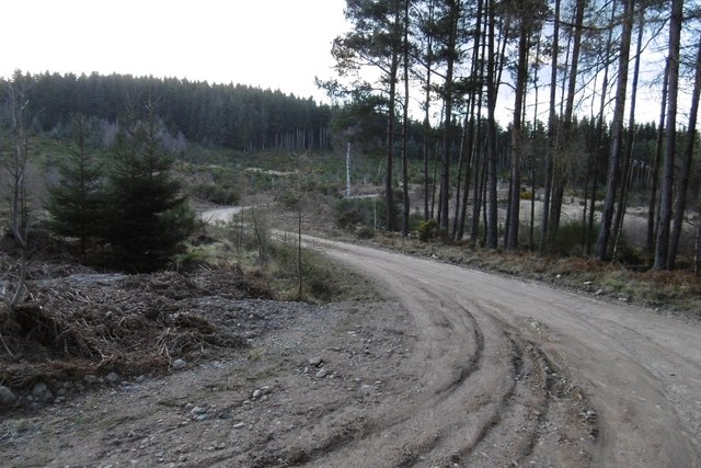
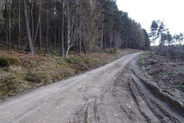
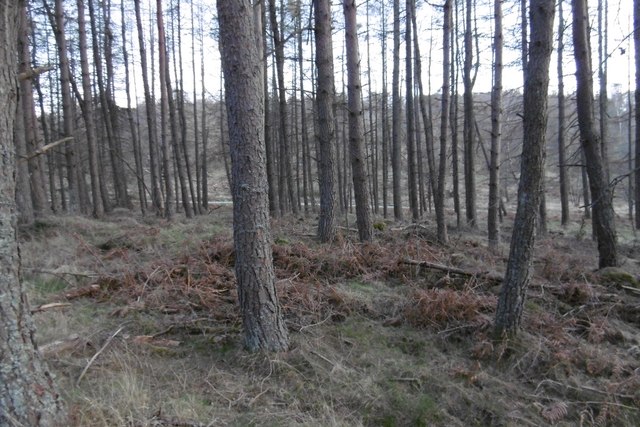
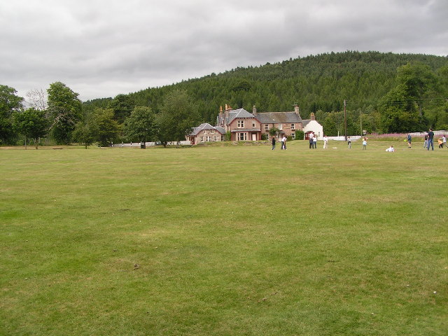
Muckle Ord Images
Images are sourced within 2km of 57.045718/-2.6111101 or Grid Reference NO6395. Thanks to Geograph Open Source API. All images are credited.


Muckle Ord is located at Grid Ref: NO6395 (Lat: 57.045718, Lng: -2.6111101)
Unitary Authority: Aberdeenshire
Police Authority: North East
What 3 Words
///hardback.than.rhino. Near Torphins, Aberdeenshire
Nearby Locations
Related Wikis

Mounth
The Mounth ( MUNTH) is the broad upland in northeast Scotland between the Highland Boundary and the River Dee, at the eastern end of the Grampians....

Finzean
Finzean (; Scottish Gaelic: Fìnnean) is a rural community, electoral polling district, community council area and former ecclesiastical parish, which forms...

Corsedardar Hill
Corsedardar Hill is a mountain landform in the Grampian Mountains of Aberdeenshire, Scotland. This hill is located in the Lower Deeside region within the...
Potarch
Potarch ( pot-ARKH) is a hamlet in Aberdeenshire, Scotland, with a bridge across the River Dee.It is a popular location with tourists and day-trippers...
Nearby Amenities
Located within 500m of 57.045718,-2.6111101Have you been to Muckle Ord?
Leave your review of Muckle Ord below (or comments, questions and feedback).