Fawhill Covert
Wood, Forest in Roxburghshire
Scotland
Fawhill Covert
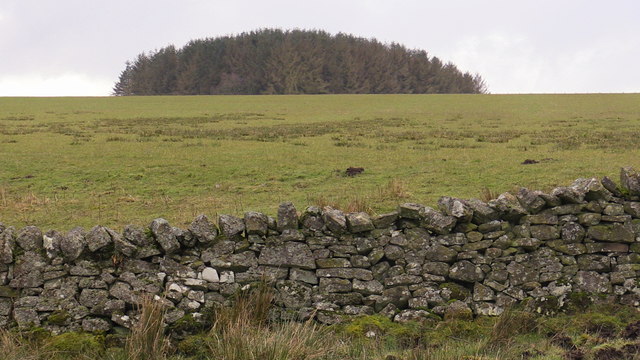
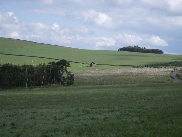
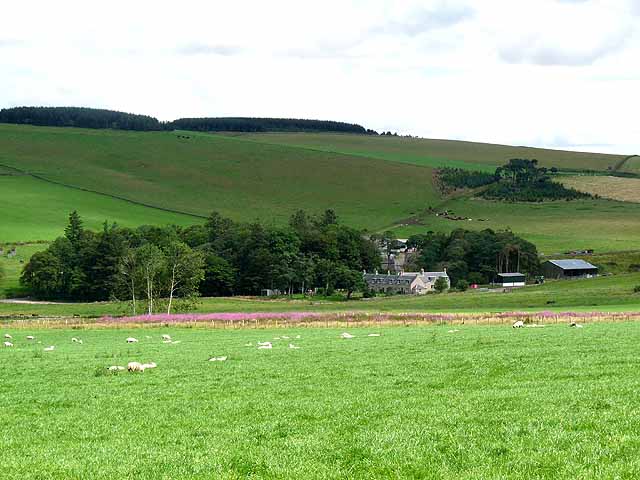
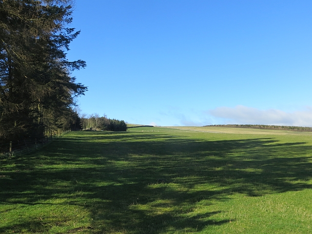
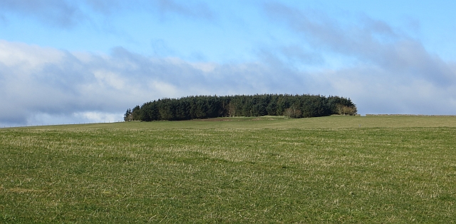
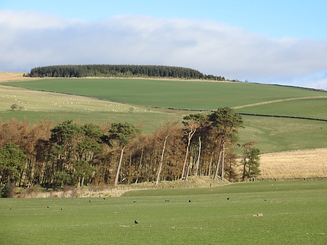
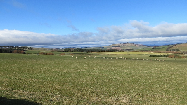
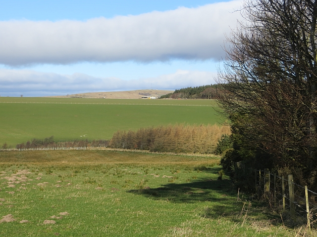
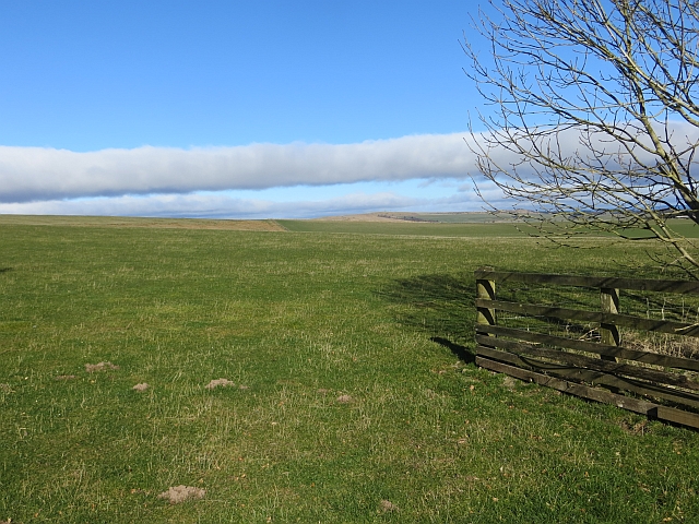
Fawhill Covert, located in Roxburghshire, is a picturesque wood or forest located in the southern part of Scotland. Spread over a vast area, it is known for its natural beauty and diverse wildlife. The woodland is predominantly composed of native tree species, such as oak, beech, and birch, creating a rich and diverse ecosystem.
The forest is home to a wide range of flora and fauna. The dense foliage provides a habitat for various bird species, including woodpeckers and owls. Small mammals like squirrels, rabbits, and deer can also be spotted within the woodland. The forest floor is adorned with a carpet of wildflowers during spring and summer, adding to the enchanting atmosphere.
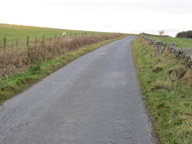
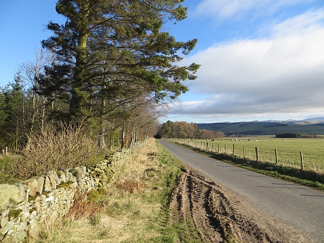
Fawhill Covert offers a tranquil retreat for nature enthusiasts and hikers. There are several well-maintained walking trails that wind through the forest, allowing visitors to explore and appreciate the stunning scenery. These paths are suitable for all levels of fitness and provide opportunities for birdwatching and wildlife spotting.
In addition to its natural beauty, Fawhill Covert has historical significance. The woodland is believed to have existed for centuries and has witnessed the passage of time. The ancient trees and remnants of old structures evoke a sense of history and add to the charm of the forest.
Overall, Fawhill Covert in Roxburghshire is a captivating wood or forest that showcases the beauty of Scotland's natural landscape. With its diverse flora and fauna, well-marked trails, and historical significance, it is a destination that offers both tranquility and a connection to nature.
If you have any feedback on the listing, please let us know in the comments section below.
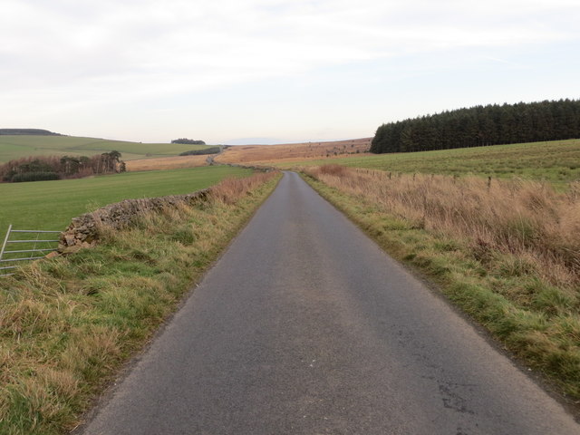
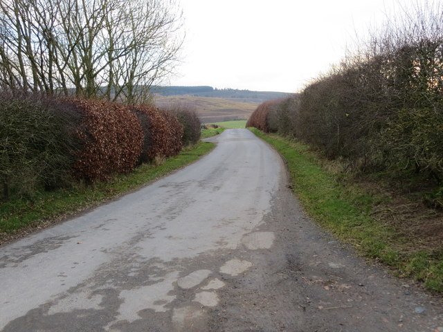
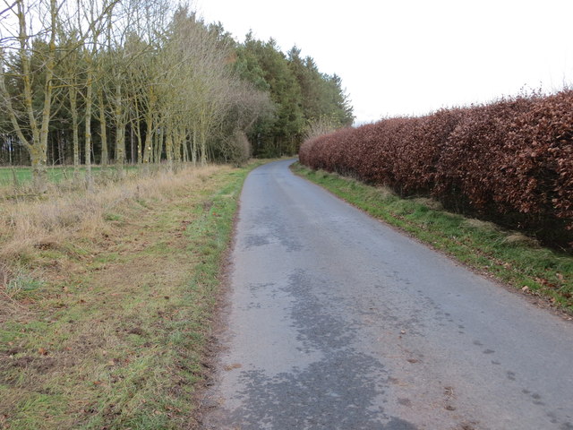
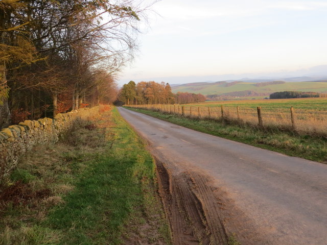
Fawhill Covert Images
Images are sourced within 2km of 55.416243/-2.5804532 or Grid Reference NT6313. Thanks to Geograph Open Source API. All images are credited.
Fawhill Covert is located at Grid Ref: NT6313 (Lat: 55.416243, Lng: -2.5804532)
Unitary Authority: The Scottish Borders
Police Authority: The Lothians and Scottish Borders
What 3 Words
///cashiers.verse.parks. Near Jedburgh, Scottish Borders
Nearby Locations
Related Wikis

Abbotrule
Abbotrule is a hamlet south of the B6357 road, in the Scottish Borders area of Scotland, on Rule Burn, east of the Rule Water. Places nearby include Bedrule...

Bairnkine
Bairnkine is a hamlet on the Jed Water in the Scottish Borders area of Scotland, on the A68, south of Jedburgh. Other places nearby include Abbotrule,...

Fulton Tower
Fulton Tower is a ruined 16th century tower house, about 4.5 miles (7.2 km) south west of Jedburgh, Scottish Borders, Scotland, and about 2 miles (3.2...

Hallrule
Hallrule is a hamlet on the B6357 road, in the Scottish Borders area of Scotland, on the Rule Water, near Abbotrule, Bedrule Bonchester Bridge, Denholm...
Nearby Amenities
Located within 500m of 55.416243,-2.5804532Have you been to Fawhill Covert?
Leave your review of Fawhill Covert below (or comments, questions and feedback).