Deuchrie Wood
Wood, Forest in East Lothian
Scotland
Deuchrie Wood
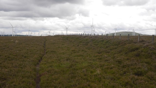
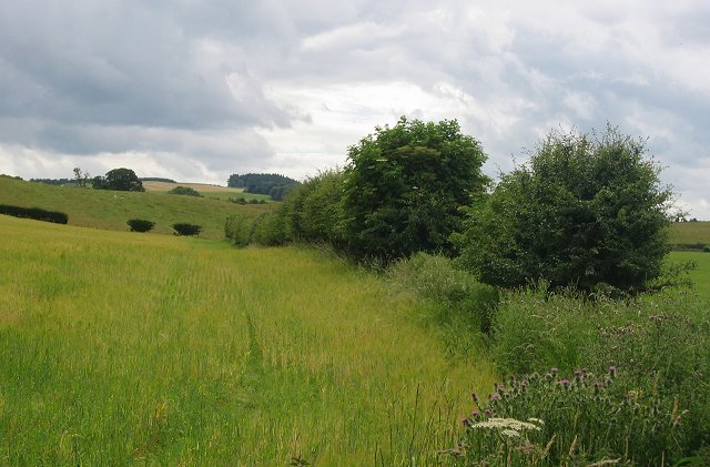
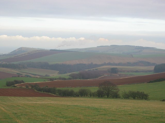
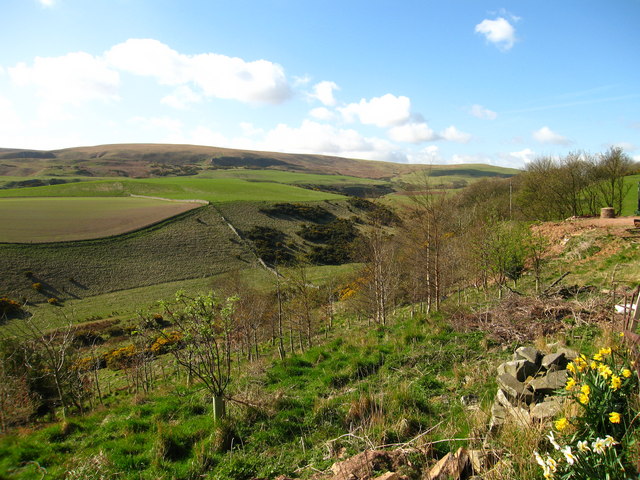
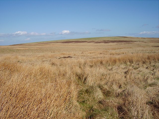
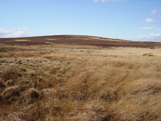
Deuchrie Wood is a picturesque forest located in East Lothian, Scotland. Covering an area of approximately 200 acres, it is a popular destination for nature lovers and outdoor enthusiasts. The wood is nestled between the villages of East Saltoun and Humbie, offering a tranquil and serene environment.
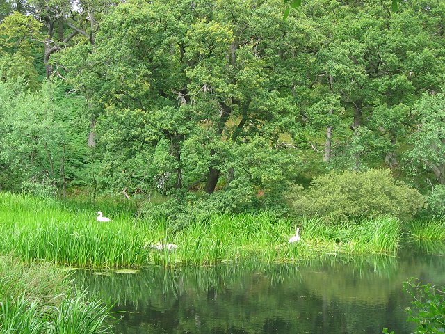
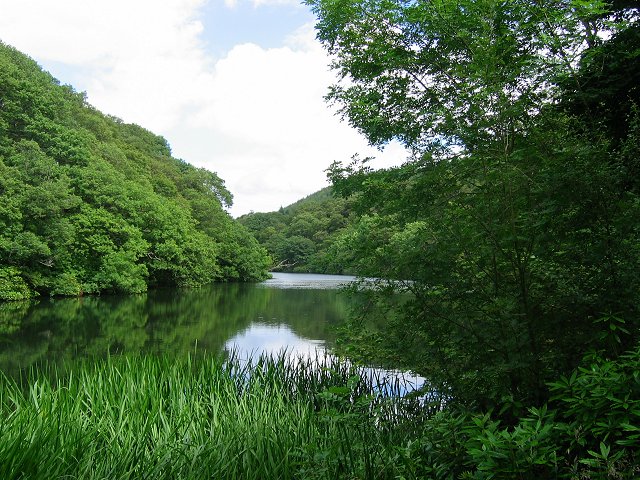
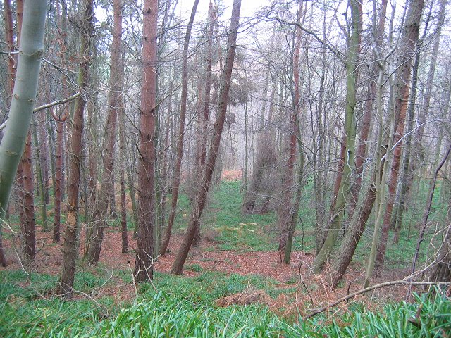
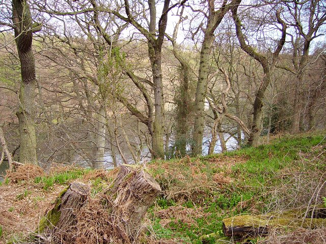
The woodland is primarily composed of deciduous trees, creating a beautiful canopy that changes with the seasons. Oak, beech, and birch are some of the dominant tree species found here, providing a diverse habitat for various flora and fauna. In spring, the forest floor becomes a vibrant carpet of bluebells, creating a stunning display of colors.
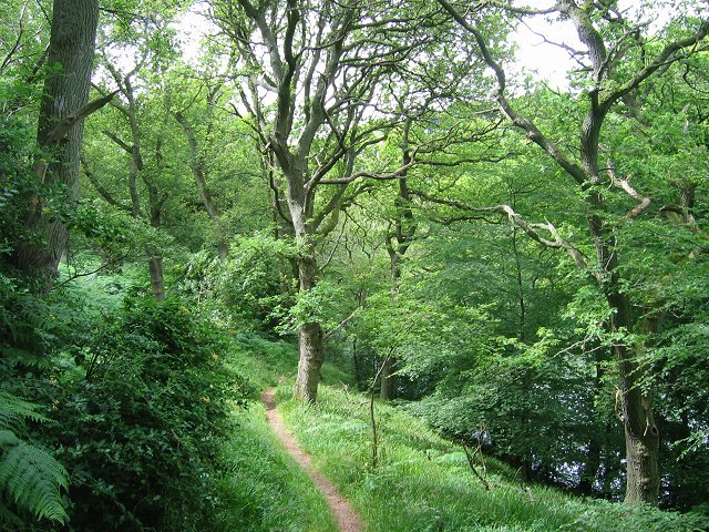
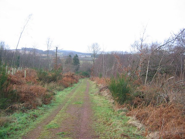
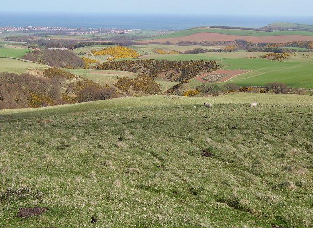
Several well-maintained trails wind their way through Deuchrie Wood, making it an ideal location for walking, hiking, and birdwatching. Visitors can explore the network of paths, enjoying the peaceful ambiance and the opportunity to spot wildlife such as deer, squirrels, and a wide variety of bird species.
The wood also holds historical significance, with remnants of ancient settlements and burial sites dating back to the Iron Age. These archaeological features add an extra layer of interest for those interested in Scotland's rich heritage.
Visitors to Deuchrie Wood can take advantage of the nearby amenities, including picnic areas and parking facilities. The area is easily accessible, located just off the B6368 road, and is a short drive from the town of Haddington.
Overall, Deuchrie Wood offers a captivating escape into nature, providing a haven for wildlife and a sanctuary for those seeking tranquility and natural beauty.
If you have any feedback on the listing, please let us know in the comments section below.
Deuchrie Wood Images
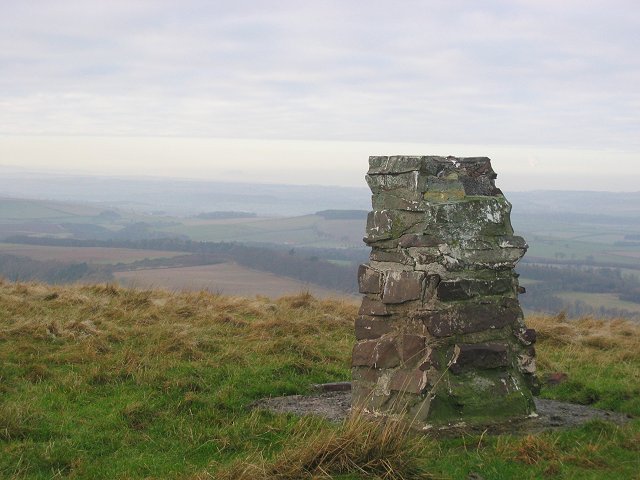
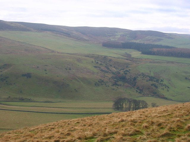
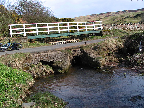
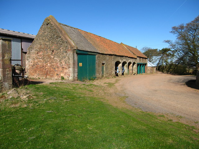
Images are sourced within 2km of 55.937955/-2.5886339 or Grid Reference NT6371. Thanks to Geograph Open Source API. All images are credited.
Deuchrie Wood is located at Grid Ref: NT6371 (Lat: 55.937955, Lng: -2.5886339)
Unitary Authority: East Lothian
Police Authority: The Lothians and Scottish Borders
What 3 Words
///fountain.crows.goggle. Near East Linton, East Lothian
Nearby Locations
Related Wikis

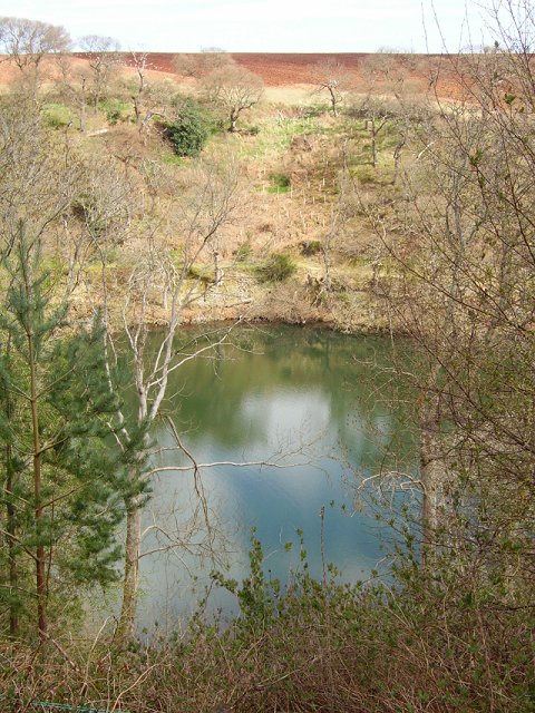
Pressmennan Lake
Pressmennan Lake is a lake in East Lothian in Scotland. It is an artificial reservoir constructed in 1819 by a Mr Nesbit who dammed the streams flowing...

Stenton
Stenton (Scots: Staneton) is a parish and village in East Lothian, Scotland. It is bounded on the north by parts of the parishes of Prestonkirk and Dunbar...

Whittingehame
Whittingehame is a parish with a small village in East Lothian, Scotland, about halfway between Haddington and Dunbar, and near East Linton. The area is...

Whittingehame Tower
Whittingehame Tower, or Whittingehame Castle, is a fifteenth-century tower house about 2.5 miles (4.0 km) south of East Linton, on the west bank of Whittinghame...
Related Videos

Pressmennan Wood in East Lothian
Pressmennan Wood is a gorgeous woodland area in rural East Lothian that runs alongside a ribbon-shaped lake that offers quiet ...
Nearby Amenities
Located within 500m of 55.937955,-2.5886339Have you been to Deuchrie Wood?
Leave your review of Deuchrie Wood below (or comments, questions and feedback).