Fetter Hill
Hill, Mountain in Gloucestershire Forest of Dean
England
Fetter Hill
Fetter Hill is a prominent hill located in the county of Gloucestershire, England. Situated near the village of Minchinhampton, it forms part of the Cotswold Hills, known for their picturesque landscapes and rolling hills. Standing at an elevation of approximately 220 meters (720 feet), this hill offers breathtaking views of the surrounding countryside.
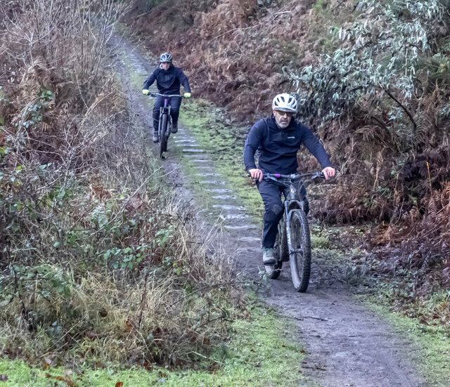
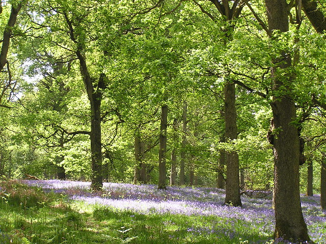
The hill is characterized by its gently sloping terrain, covered in lush green grass and scattered with a variety of trees and shrubs. Fetter Hill is a popular destination for outdoor enthusiasts, hikers, and nature lovers, as it provides numerous walking trails and pathways that allow visitors to explore the area's natural beauty.
One notable feature of Fetter Hill is the presence of ancient burial mounds that date back to the Bronze Age, adding a historical and archaeological significance to the site. These mounds are evidence of the hill's long-standing human habitation and offer insight into the area's rich cultural heritage.
In addition to its natural and historical appeal, Fetter Hill is also known for its wildlife. The hill is home to a diverse range of species, including various birds, mammals, and insects. Birdwatchers often flock to this area to catch a glimpse of rare and migratory species.
Overall, Fetter Hill in Gloucestershire is a captivating destination that combines natural beauty, historical significance, and abundant wildlife. Whether visitors are seeking a peaceful hike, a glimpse into the past, or a chance to connect with nature, Fetter Hill offers an idyllic setting for exploration and enjoyment.
If you have any feedback on the listing, please let us know in the comments section below.
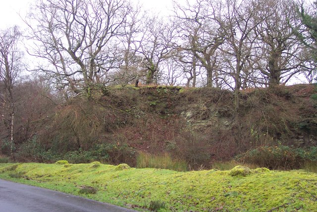
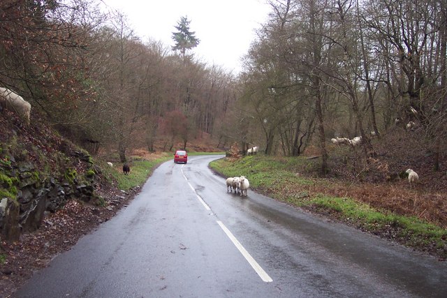
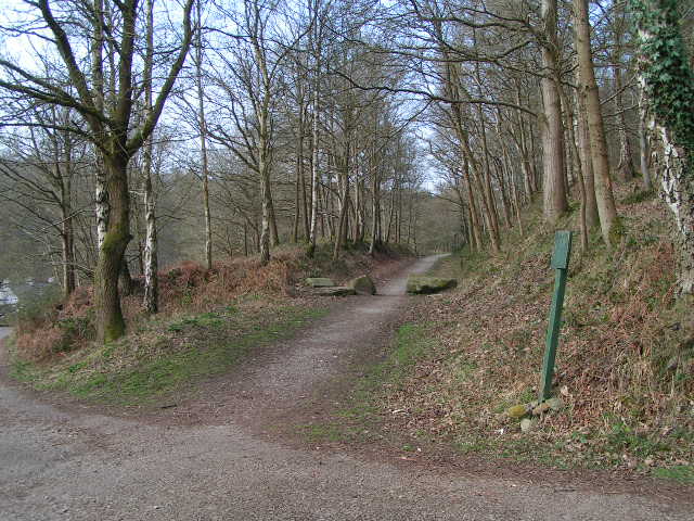
Fetter Hill Images
Images are sourced within 2km of 51.775251/-2.5940201 or Grid Reference SO5908. Thanks to Geograph Open Source API. All images are credited.


Fetter Hill is located at Grid Ref: SO5908 (Lat: 51.775251, Lng: -2.5940201)
Administrative County: Gloucestershire
District: Forest of Dean
Police Authority: Gloucestershire
What 3 Words
///marker.oppose.hurricane. Near Coleford, Gloucestershire
Nearby Locations
Related Wikis

Darkhill Ironworks
Darkhill Ironworks, and the neighbouring Titanic Steelworks, are internationally important industrial remains associated with the development of the iron...

Ellwood, Gloucestershire
Ellwood is a hamlet in the Forest of Dean district in Gloucestershire, England. It lies around 3 kilometres (1.9 mi) south-east of Coleford. The hamlet...

Milkwall
Milkwall is a village in the Forest of Dean in Gloucestershire, England. It lies between the village of Sling to the south, and the town of Coleford to...

Gorsty Knoll
Gorsty Knoll is a small hamlet, located in the Forest of Dean, Gloucestershire, England. The internationally important remains of Darkhill Ironworks and...

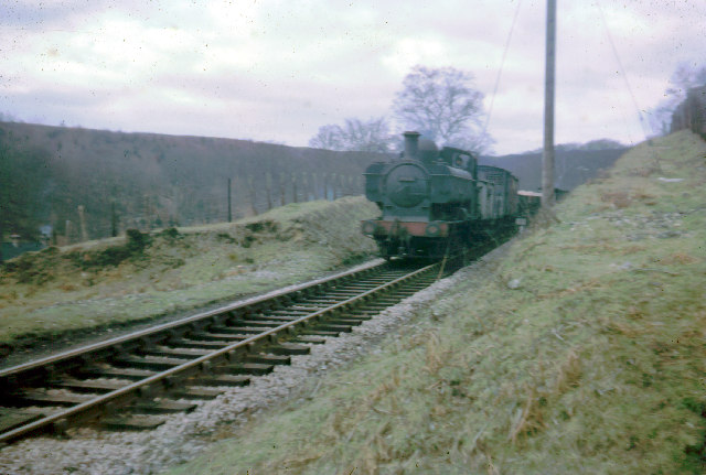
Milkwall railway station
Milkwall railway station is a disused station on the former Severn and Wye Railway. It served the village of Milkwall, Gloucestershire, England. The station...

Sling, Gloucestershire
Sling is a village in Gloucestershire, England. The village is located between Clearwell and Bream. It is just south of the village of Milkwall. ��2�...

Old Bow and Old Ham Mines
Old Bow And Old Ham Mines (grid reference SO579088) is a 40.3-hectare (100-acre) biological Site of Special Scientific Interest in Gloucestershire, notified...

West Dean Rural District
West Dean Rural District was a rural district in Gloucestershire, England, from 1894 to 1974. It comprised a number of civil parishes, including, confusingly...
Nearby Amenities
Located within 500m of 51.775251,-2.5940201Have you been to Fetter Hill?
Leave your review of Fetter Hill below (or comments, questions and feedback).