Birch Hill
Hill, Mountain in Gloucestershire Forest of Dean
England
Birch Hill
Birch Hill is a picturesque hill located in Gloucestershire, a county in southwestern England. Situated within the Cotswold Area of Outstanding Natural Beauty, this hill offers breathtaking views of the surrounding countryside. With an elevation of approximately 300 meters, Birch Hill is not considered a mountain but rather a prominent hill in the region.
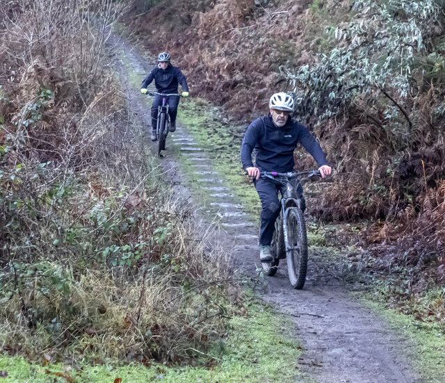
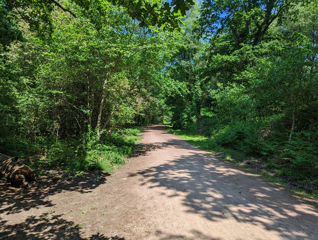
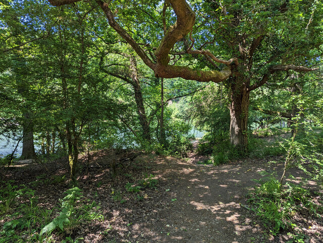
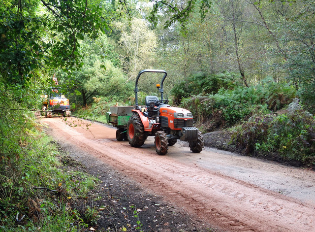
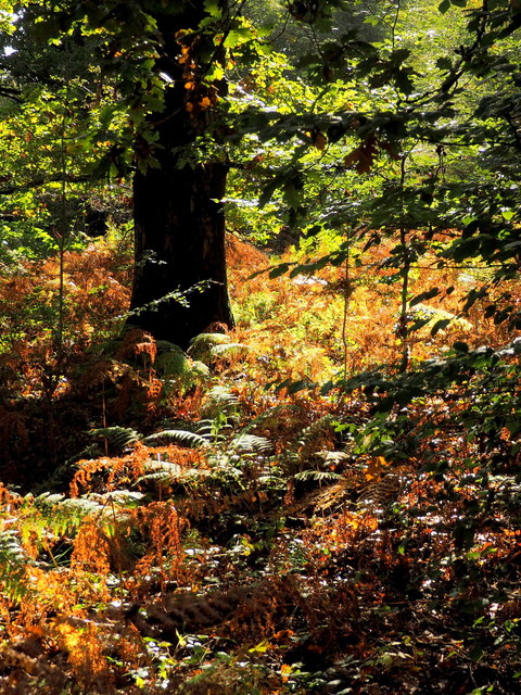
The hill is characterized by its rolling slopes and lush greenery, covered in a variety of vegetation including birch trees, from which it derives its name. The landscape is dotted with charming stone walls and hedgerows, adding to the quintessential English countryside charm. There are also several footpaths and trails that crisscross the hill, making it a popular destination for hikers and nature enthusiasts.
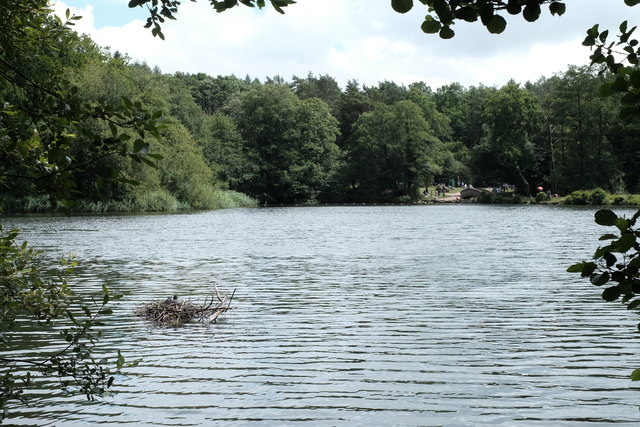
At the summit of Birch Hill, visitors are rewarded with panoramic vistas of the Gloucestershire countryside, with the nearby villages of Painswick and Stroud visible in the distance. On clear days, it is even possible to catch a glimpse of the distant Malvern Hills.
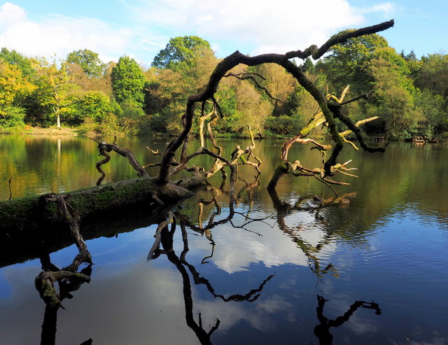
In addition to its natural beauty, Birch Hill is also home to a variety of wildlife, including birds, butterflies, and small mammals. It provides a habitat for numerous species and is an important conservation area in the region.
Overall, Birch Hill offers a serene and idyllic escape from the hustle and bustle of everyday life. Its stunning views, tranquil atmosphere, and natural wonders make it a must-visit destination for anyone exploring Gloucestershire.
If you have any feedback on the listing, please let us know in the comments section below.
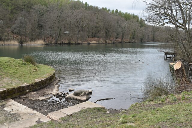
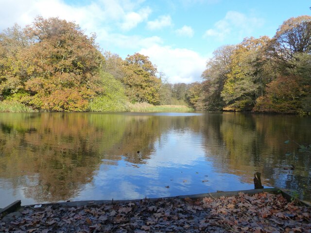
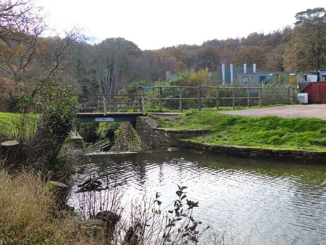
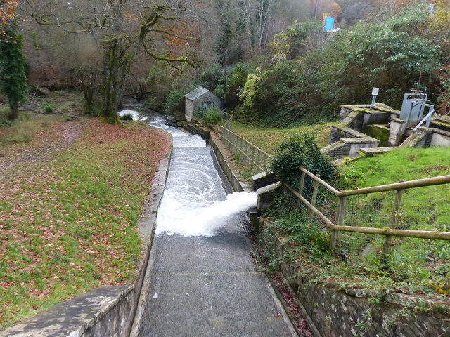
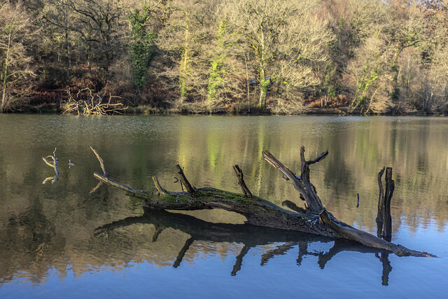
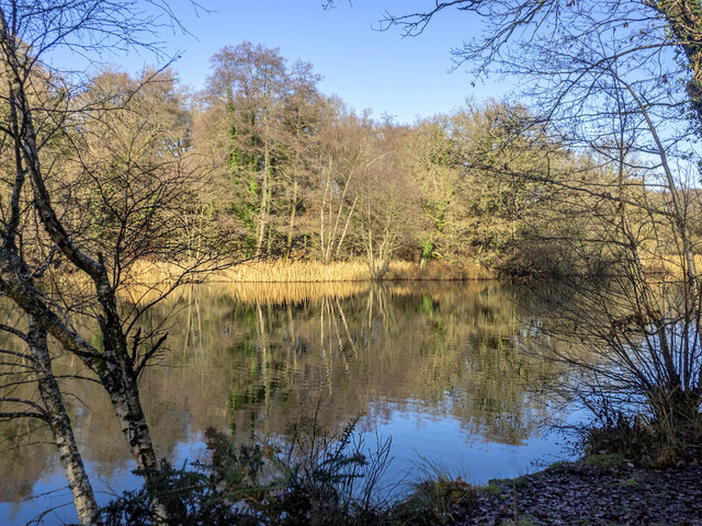
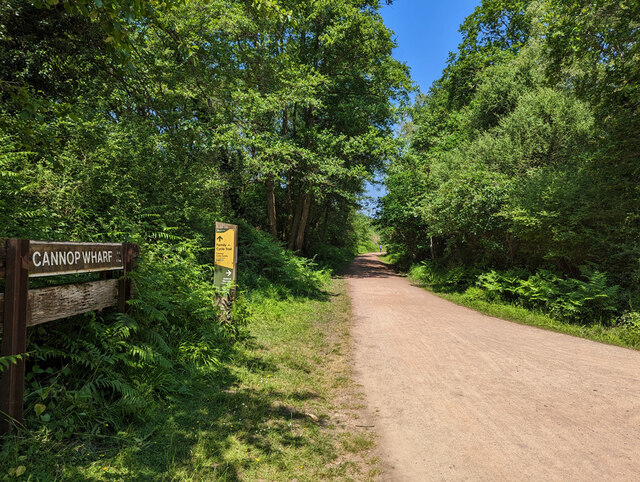
Birch Hill Images
Images are sourced within 2km of 51.776922/-2.5870268 or Grid Reference SO5908. Thanks to Geograph Open Source API. All images are credited.


Birch Hill is located at Grid Ref: SO5908 (Lat: 51.776922, Lng: -2.5870268)
Administrative County: Gloucestershire
District: Forest of Dean
Police Authority: Gloucestershire
What 3 Words
///decades.positive.juicy. Near Coleford, Gloucestershire
Nearby Locations
Related Wikis

Darkhill Ironworks
Darkhill Ironworks, and the neighbouring Titanic Steelworks, are internationally important industrial remains associated with the development of the iron...

Ellwood, Gloucestershire
Ellwood is a hamlet in the Forest of Dean district in Gloucestershire, England. It lies around 3 kilometres (1.9 mi) south-east of Coleford. The hamlet...

West Dean Rural District
West Dean Rural District was a rural district in Gloucestershire, England, from 1894 to 1974. It comprised a number of civil parishes, including, confusingly...

Gorsty Knoll
Gorsty Knoll is a small hamlet, located in the Forest of Dean, Gloucestershire, England. The internationally important remains of Darkhill Ironworks and...

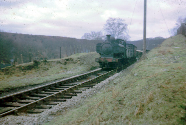
Milkwall railway station
Milkwall railway station is a disused station on the former Severn and Wye Railway. It served the village of Milkwall, Gloucestershire, England. The station...

Milkwall
Milkwall is a village in the Forest of Dean in Gloucestershire, England. It lies between the village of Sling to the south, and the town of Coleford to...

Nagshead SSSI
Nagshead SSSI is a 297 acres (120 ha) biological Site of Special Scientific Interest located within RSPB Nagshead, near Parkend, in the Forest of Dean...

Mary Rose Young
Mary Rose Young is a ceramic artist who lives and works in the Forest of Dean, Gloucestershire, in the UK. == Early life == Mary Rose Young was born near...
Nearby Amenities
Located within 500m of 51.776922,-2.5870268Have you been to Birch Hill?
Leave your review of Birch Hill below (or comments, questions and feedback).