Dark Hill
Hill, Mountain in Gloucestershire Forest of Dean
England
Dark Hill
Dark Hill is a prominent hill located in Gloucestershire, England. It is situated approximately 4 miles northeast of the town of Wotton-under-Edge and stands at an elevation of 267 meters (876 feet) above sea level. This hill is part of the Cotswold Hills, a range renowned for its picturesque landscapes and charming villages.
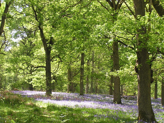
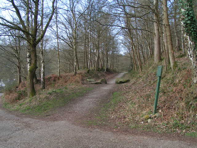
Dark Hill is characterized by its distinct rounded shape and lush greenery. The surrounding area is predominantly rural, with fields, woodlands, and hedgerows adding to its natural beauty. The hill offers breathtaking panoramic views of the countryside, including the Severn Vale and the Welsh mountains in the distance.
The hill is accessible via footpaths and trails, making it a popular destination for hikers, nature enthusiasts, and photographers. The diverse flora and fauna found on Dark Hill make it an ideal spot for wildlife spotting, with sightings of various bird species, rabbits, and even deer not uncommon.
Historically, Dark Hill has played a significant role in the region. It is believed to have been occupied during the Iron Age, with remnants of ancient settlements and burial mounds found in the vicinity. The hill's name, "Dark Hill," is derived from its association with the dense forest that once covered the area.
Today, Dark Hill serves as a tranquil retreat for locals and visitors alike, offering a serene escape from the hustle and bustle of everyday life. With its natural beauty, rich history, and stunning vistas, Dark Hill is a hidden gem in the Gloucestershire countryside.
If you have any feedback on the listing, please let us know in the comments section below.
Dark Hill Images
Images are sourced within 2km of 51.77501/-2.5953503 or Grid Reference SO5908. Thanks to Geograph Open Source API. All images are credited.


Dark Hill is located at Grid Ref: SO5908 (Lat: 51.77501, Lng: -2.5953503)
Administrative County: Gloucestershire
District: Forest of Dean
Police Authority: Gloucestershire
What 3 Words
///playfully.tweezers.notice. Near Coleford, Gloucestershire
Nearby Locations
Related Wikis

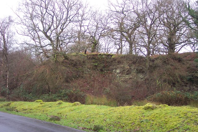
Darkhill Ironworks
Darkhill Ironworks, and the neighbouring Titanic Steelworks, are internationally important industrial remains associated with the development of the iron...

Ellwood, Gloucestershire
Ellwood is a hamlet in the Forest of Dean district in Gloucestershire, England. It lies around 3 kilometres (1.9 mi) south-east of Coleford. The hamlet...

Milkwall
Milkwall is a village in the Forest of Dean in Gloucestershire, England. It lies between the village of Sling to the south, and the town of Coleford to...

Gorsty Knoll
Gorsty Knoll is a small hamlet, located in the Forest of Dean, Gloucestershire, England. The internationally important remains of Darkhill Ironworks and...

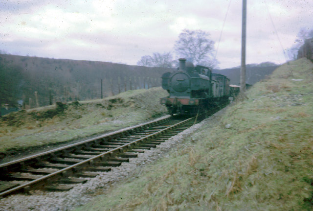
Milkwall railway station
Milkwall railway station is a disused station on the former Severn and Wye Railway. It served the village of Milkwall, Gloucestershire, England. The station...

Sling, Gloucestershire
Sling is a village in Gloucestershire, England. The village is located between Clearwell and Bream. It is just south of the village of Milkwall. ��2�...

Old Bow and Old Ham Mines
Old Bow And Old Ham Mines (grid reference SO579088) is a 40.3-hectare (100-acre) biological Site of Special Scientific Interest in Gloucestershire, notified...
Perrygrove railway station
Perrygrove railway station is the home of the 15 in (381 mm) gauge Perrygrove Railway. The railway was opened in 1996 and is a heritage railway. There...
Nearby Amenities
Located within 500m of 51.77501,-2.5953503Have you been to Dark Hill?
Leave your review of Dark Hill below (or comments, questions and feedback).