Corlach Hill

Hill, Mountain in Kincardineshire

Scotland

Corlach Hill

Path past the peat, Hill of Badymicks The peat is degrading and eroding to result in weirdly shaped peat hags.
Path past the peat, Hill of Badymicks Credit: Bill Harrison

Corlach Hill is a prominent hill located in the county of Kincardineshire, Scotland. Situated in the northeastern part of the country, it forms part of the picturesque landscape of the region. With an elevation of approximately 400 meters (1,312 feet), it is not classified as a mountain but rather a hill.

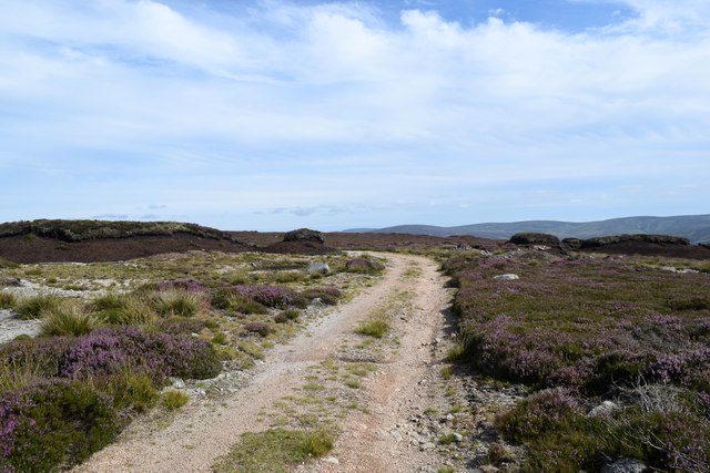
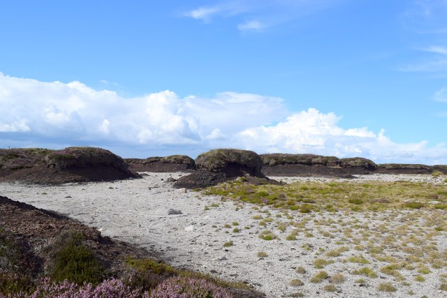
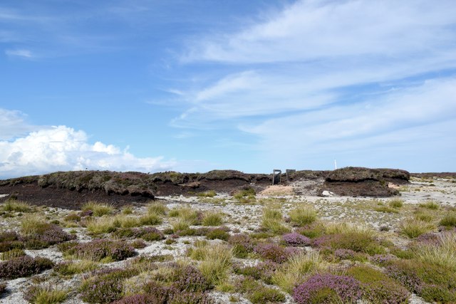
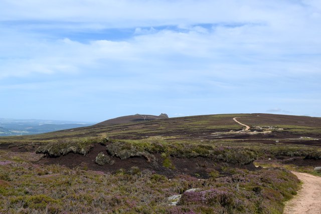
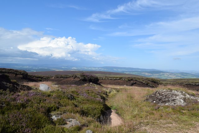
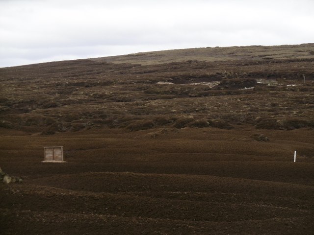
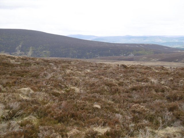
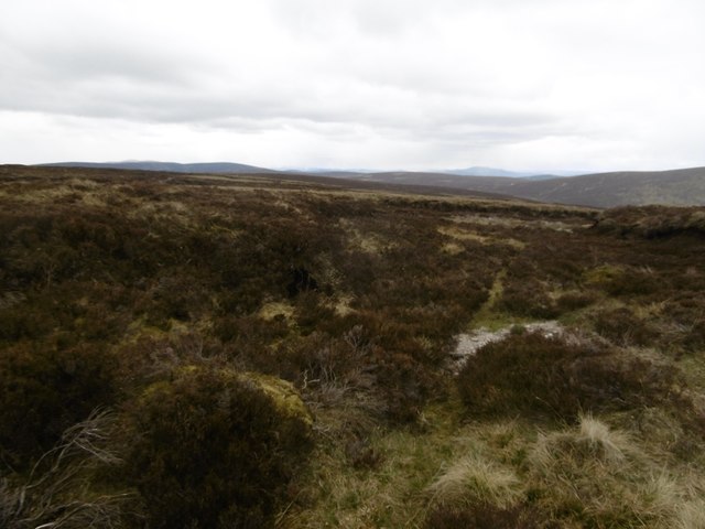
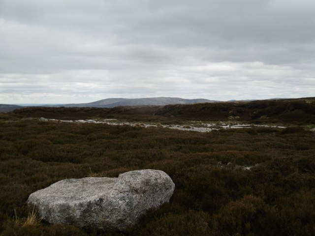
Corlach Hill offers breathtaking panoramic views of the surrounding countryside, making it a popular destination for hikers, nature enthusiasts, and photographers. The hill is covered in lush green vegetation, including heather, grasses, and scattered trees, creating a beautiful and serene atmosphere.

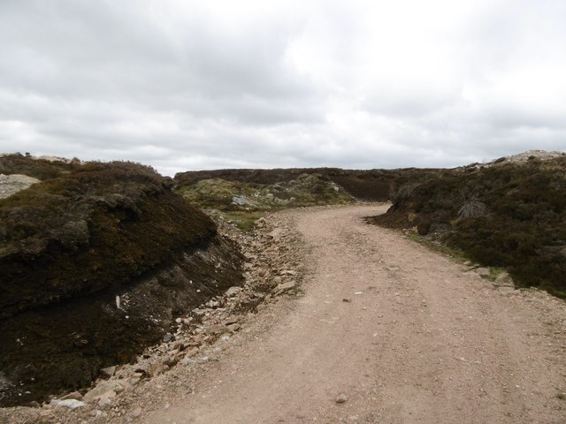
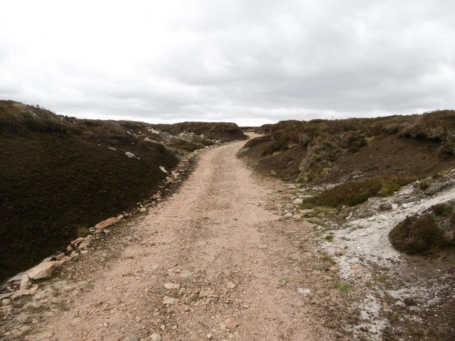
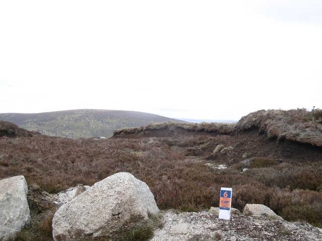
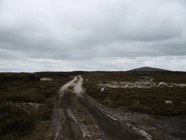
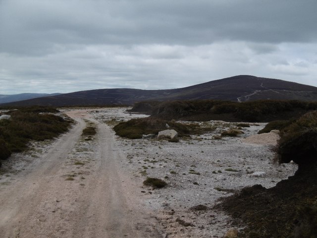
The hill is easily accessible by foot, with a network of well-marked trails leading to its summit. Along the way, visitors may encounter various wildlife species, such as rabbits, deer, and a variety of birds, adding to the charm of the experience.

At the top of Corlach Hill, visitors are rewarded with stunning vistas that stretch for miles. On clear days, it is possible to see the North Sea to the east and the rolling hills of Kincardineshire to the west. The hill's summit also offers an ideal vantage point for viewing the picturesque countryside, with its patchwork of fields, farms, and quaint villages.

Corlach Hill is not only a natural gem but also holds historical significance. The area surrounding the hill is rich in archaeological sites, including ancient settlements and stone circles, providing a glimpse into the region's past.

Overall, Corlach Hill is a must-visit destination for those seeking an escape into nature, offering a combination of stunning views, diverse flora and fauna, and a touch of history.

If you have any feedback on the listing, please let us know in the comments section below.

Corlach Hill Images

Images are sourced within 2km of 56.967759/-2.6740918 or Grid Reference NO5986. Thanks to Geograph Open Source API. All images are credited.

Path past the peat, Hill of Badymicks The peat is degrading and eroding to result in weirdly shaped peat hags.
Path past the peat, Hill of Badymicks
The peat is degrading and eroding to result in weirdly shaped peat hags.
Peat hags, Hill of Badymicks Peat has completely eroded away in the foreground to leave fine granite chips.
Peat hags, Hill of Badymicks
Peat has completely eroded away in the foreground to leave fine granite chips.
Weird landscape, Hill of Badymicks Isolated peat hags and exposed underlying granite with new vegetation starting to grow.    A derelict grouse butt is also visible.
Weird landscape, Hill of Badymicks
Isolated peat hags and exposed underlying granite with new vegetation starting to grow. A derelict grouse butt is also visible.
Path past the peat hag... ...with the granite outcrop of Clachnaben in the distance.
Path past the peat hag...
...with the granite outcrop of Clachnaben in the distance.
Peat hag in the upland landscape Clachnaben looms in the distance.
Peat hag in the upland landscape
Clachnaben looms in the distance.
Upland landscape with peat hags The valley of the River Dee can be seen in the far distance.
Upland landscape with peat hags
The valley of the River Dee can be seen in the far distance.
Eroded peat No vegetation, just tonnes of peat oxidising and blowing away.
Eroded peat
No vegetation, just tonnes of peat oxidising and blowing away.
Bulldozed road, Sandy Hill The road runs along the ridge west of Hill of Edendocher and has been cut deeply into the peat.
Bulldozed road, Sandy Hill
The road runs along the ridge west of Hill of Edendocher and has been cut deeply into the peat.
Dried peat A dried out pool in the bogs with the customary pattern of cracks.
Dried peat
A dried out pool in the bogs with the customary pattern of cracks.
Peat lands, Sandy Hill The northern side of Sandy Hill, with Peter Hill in the background.
Peat lands, Sandy Hill
The northern side of Sandy Hill, with Peter Hill in the background.
Bulldozed road, Sandy Hill Cut deep into already eroding peat.
Bulldozed road, Sandy Hill
Cut deep into already eroding peat.
Summit, Sandy Hill Peaty ground with a road junction near by.  The remains of an electric fence which once plagued this ridge can be seen.
Summit, Sandy Hill
Peaty ground with a road junction near by. The remains of an electric fence which once plagued this ridge can be seen.
Summit, Sandy Hill A lump of peat above a bulldozed road junction.
Summit, Sandy Hill
A lump of peat above a bulldozed road junction.
Moorland, north of Glen Dye The north side of the broad ridge between Mount Battock and Clachnaben.
Moorland, north of Glen Dye
The north side of the broad ridge between Mount Battock and Clachnaben.
Peg marker Shooting peg, more usually found in a lowland setting rather than at nearly 600m on a moor.
Peg marker
Shooting peg, more usually found in a lowland setting rather than at nearly 600m on a moor.
Boulder, Hill of Badymicks A lump of granite amongst eroded peat hags.
Boulder, Hill of Badymicks
A lump of granite amongst eroded peat hags.
Road, Hill of Badymicks The ridge between Clachnaben and Mount Battock with eroded peat bogs.
Road, Hill of Badymicks
The ridge between Clachnaben and Mount Battock with eroded peat bogs.
Road, Hill of Badymicks View over eroded peat and the underlying gravels towards Mount Battock.
Road, Hill of Badymicks
View over eroded peat and the underlying gravels towards Mount Battock.
Show me another place!

Corlach Hill is located at Grid Ref: NO5986 (Lat: 56.967759, Lng: -2.6740918)

Unitary Authority: Aberdeenshire

Police Authority: North East

What 3 Words

///rainwater.bridges.rebel. Near Aboyne, Aberdeenshire

Nearby Locations

Corlach Hill

Related Wikis

Clachnaben

Clachnaben (archaically "Cloch-na'bain"; Scottish Gaelic: "Clach na Beinne") is a 589-metre hill in Glen Dye, Aberdeenshire, Scotland. It is a distinctive...

Mount Battock

Mount Battock (778 m) is a mountain in the Mounth on the eastern edge of the Scottish Highlands, on the border between Aberdeenshire and Angus. A rounded...

Easter Clune Castle

Easter Clune Castle is a ruined 16th-century tower house, about 6 miles (9.7 km) south-west of Banchory, Aberdeenshire, Scotland, and south of the Water...

Finzean

Finzean (; Scottish Gaelic: Fìnnean) is a rural community, electoral polling district, community council area and former ecclesiastical parish, which forms...

Have you been to Corlach Hill?

Leave your review of Corlach Hill below (or comments, questions and feedback).