Intack
Settlement in Lancashire
England
Intack
Intack is a small village located in the county of Lancashire, England. Situated approximately 3 miles east of the town of Blackburn, it falls within the borough of Blackburn with Darwen. The village is part of the larger civil parish of Livesey.
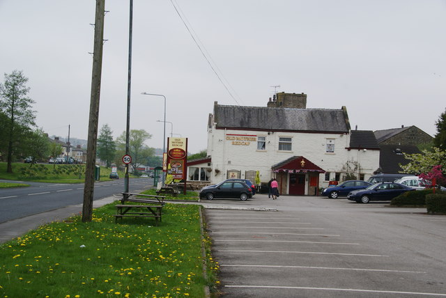
Intack is primarily a residential area, characterized by a mix of housing types including semi-detached houses, terraced houses, and some detached properties. The village boasts a peaceful and close-knit community, providing a tranquil atmosphere for its residents.
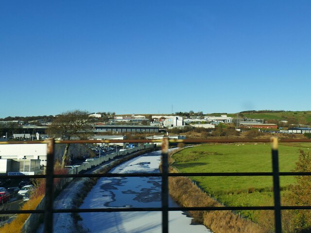
The village benefits from its proximity to Blackburn, which offers a wide range of amenities and services such as schools, shops, healthcare facilities, and recreational activities. This allows residents of Intack to easily access the necessary resources without having to travel far.
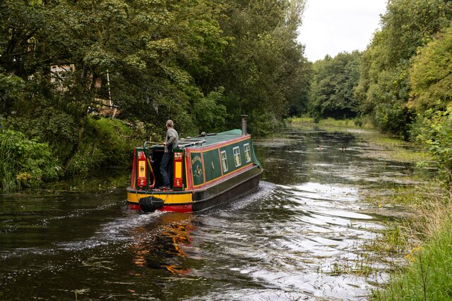
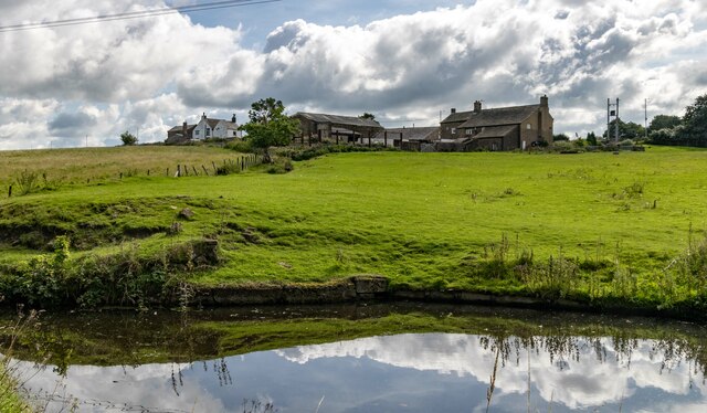
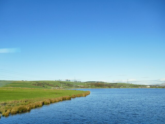
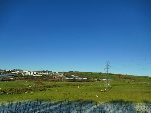
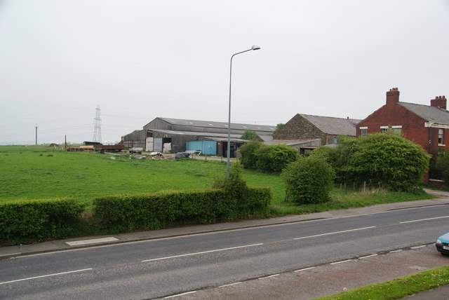
The surrounding countryside provides picturesque views and opportunities for outdoor activities. Intack is nestled between the scenic Ribble Valley and the West Pennine Moors, offering residents the chance to explore beautiful walking and cycling routes.
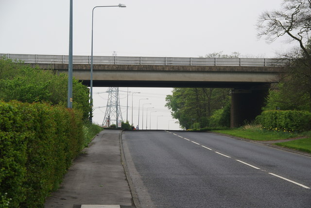
Transport links in Intack are well-served, with regular bus services connecting the village to neighboring towns and cities. The M65 motorway is also easily accessible, providing convenient access to larger urban areas such as Manchester and Preston.
In summary, Intack is a charming residential village located in Lancashire. With its peaceful atmosphere, proximity to amenities, and access to stunning natural landscapes, it offers a desirable living environment for its residents.
If you have any feedback on the listing, please let us know in the comments section below.
Intack Images
Images are sourced within 2km of 53.747879/-2.441741 or Grid Reference SD7028. Thanks to Geograph Open Source API. All images are credited.


Intack is located at Grid Ref: SD7028 (Lat: 53.747879, Lng: -2.441741)
Unitary Authority: Blackburn with Darwen
Police Authority: Lancashire
What 3 Words
///fight.light.shadow. Near Blackburn, Lancashire
Nearby Locations
Related Wikis

Whitebirk
Whitebirk is a suburb in the east of Blackburn, in Lancashire, England. Most of the suburb is in Blackburn with Darwen, a unitary area, with the east...

Our Lady and St John Catholic College
Our Lady & St John Catholic College is a mixed 11-16 comprehensive school in Blackburn, Lancashire, England. The school was created in 1987 by the amalgamation...
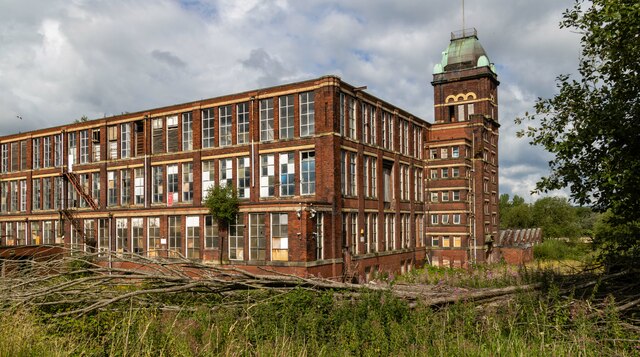
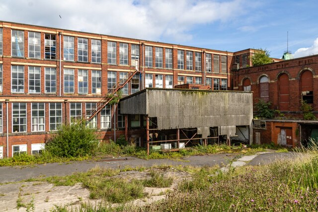
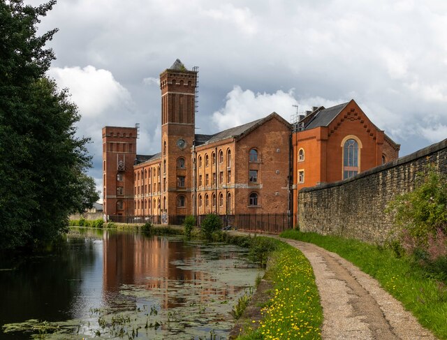
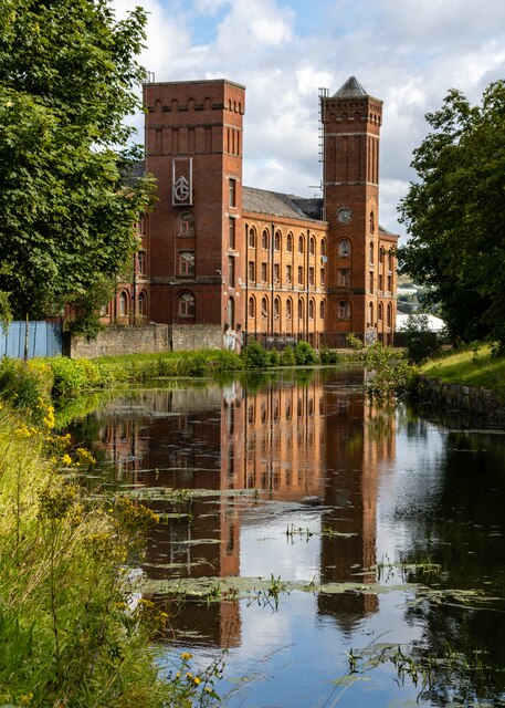
Imperial Mill, Blackburn
Imperial Mill, Blackburn is a cotton spinning mill at Wallace and Gorse Street in Greenbank, Blackburn, Lancashire, England. It was designed by P.S. Stott...
Blackburn power stations
Blackburn power stations are a series of electricity generating stations that have provided electric power to the town of Blackburn and the wider area...
St Thomas' Church, Blackburn
St Thomas' Church was an Anglican parish church in Blackburn, Lancashire, England. The church was situated on the eastern side of Lambeth Street, between...

Jaame Masjid, Blackburn
Jaame Masjid, also known as the Jaame Masjid Islamic Cultural Centre is a mosque in Blackburn, Lancashire, England. It was established from a house in...

Jamiatul Ilm Wal Huda
Jamiatul Ilm Wal Huda, also known as Darul Uloom Blackburn, is an 11–25 private, Islamic, boarding and day school for boys in Blackburn, Lancashire, England...

Little Harwood
Little Harwood is a suburb of Blackburn in Lancashire, England, situated at the northern edge of the town. == Use of land == Located within the ward are...
Nearby Amenities
Located within 500m of 53.747879,-2.441741Have you been to Intack?
Leave your review of Intack below (or comments, questions and feedback).