Whitebirk

Settlement in Lancashire

England

Whitebirk

Leeds & Liverpool Canal The Leeds & Liverpool Canal at Whitebirk.
Leeds & Liverpool Canal Credit: Peter McDermott

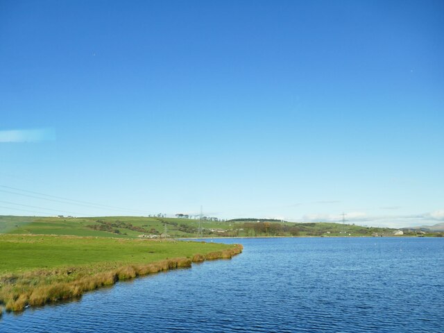
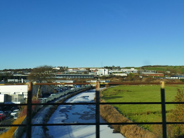
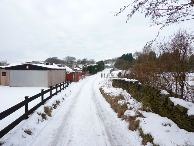
Whitebirk is a small village located in the borough of Blackburn with Darwen, in the county of Lancashire, England. Situated about 3 miles southeast of Blackburn town center, it lies on the eastern bank of the River Darwen.

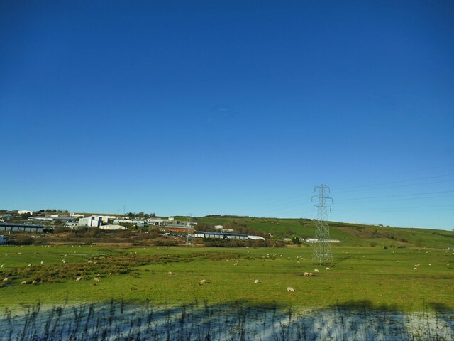
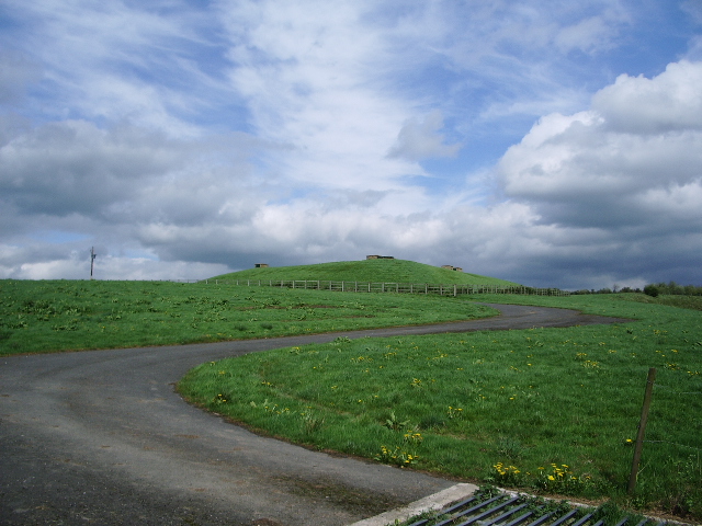
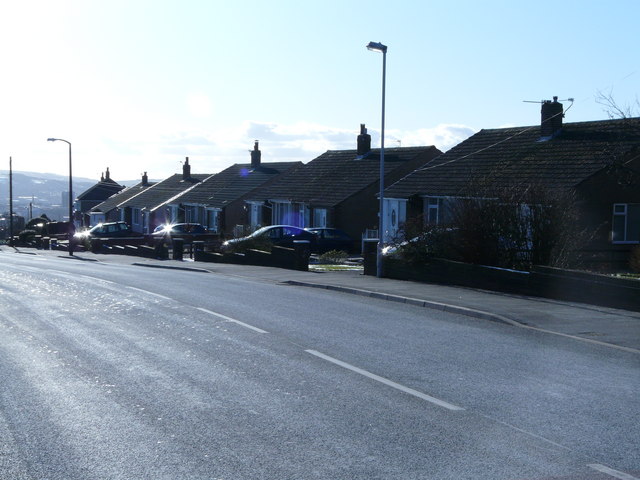
The village is primarily residential, with a mix of housing types including detached and semi-detached houses, as well as some modern housing estates. The area is surrounded by green spaces and fields, providing a tranquil atmosphere for its residents.

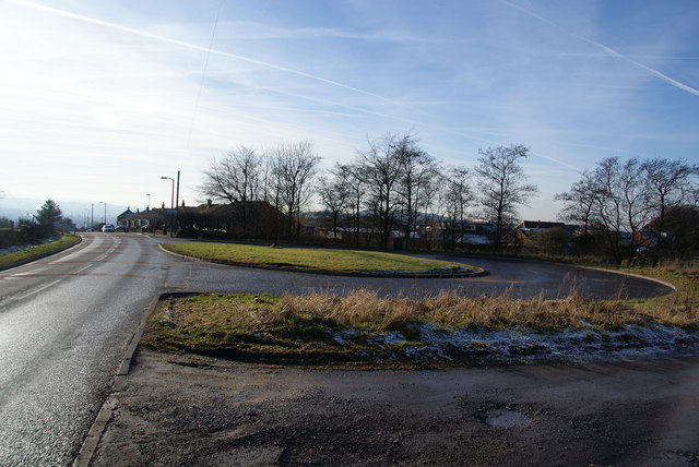
Whitebirk has good connectivity with the rest of the region. It is adjacent to the A678 road, which provides access to the M65 motorway, connecting it to nearby towns like Accrington and Burnley. The village is also served by local bus services, allowing easy transportation to Blackburn and the wider area.

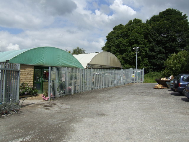
There are limited amenities within Whitebirk itself, with a small convenience store serving the basic needs of residents. However, nearby Blackburn offers a wider range of shops, supermarkets, restaurants, and entertainment facilities, ensuring that residents have access to all necessary amenities.

The village is within proximity to several schools, both primary and secondary, offering education opportunities for children in the local area. Additionally, there are several parks and recreational areas nearby, providing opportunities for outdoor activities and leisure.

Overall, Whitebirk offers a peaceful residential environment with good transport links and access to nearby amenities, making it an attractive place to live for those seeking a quieter lifestyle within reach of larger towns and cities.

If you have any feedback on the listing, please let us know in the comments section below.

Whitebirk Images

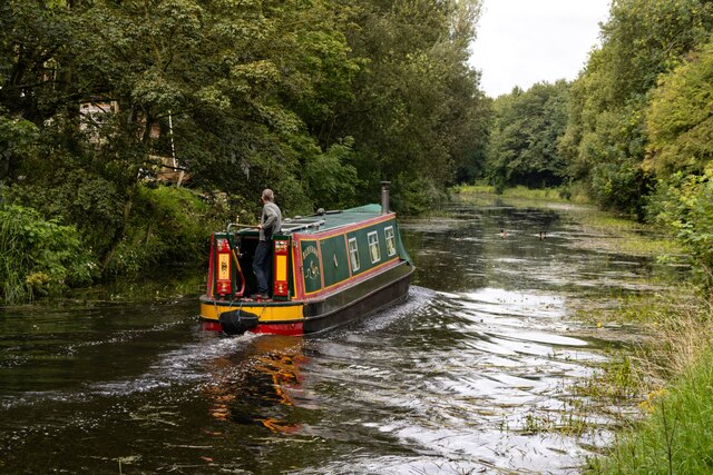
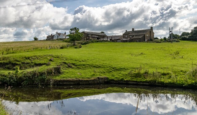
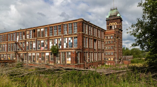
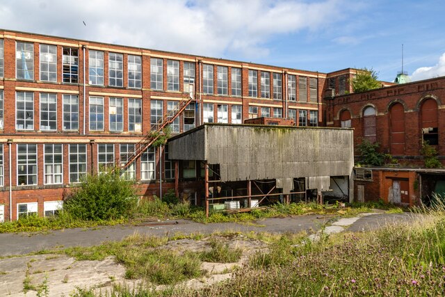
Images are sourced within 2km of 53.755909/-2.448395 or Grid Reference SD7028. Thanks to Geograph Open Source API. All images are credited.

Leeds & Liverpool Canal The Leeds & Liverpool Canal at Whitebirk.
Leeds & Liverpool Canal
The Leeds & Liverpool Canal at Whitebirk.
Whitebirk Moss Farm Whitebirk Moss Farm alongside the Leeds & Liverpool Canal.
Whitebirk Moss Farm
Whitebirk Moss Farm alongside the Leeds & Liverpool Canal.
Imperial Mill Imperial Mill seen from the Leeds & Liverpool Canal.

See also <a href="https://www.geograph.org.uk/photo/7558847">SD7028 : Imperial Mill</a> and <a href="https://www.geograph.org.uk/photo/7558832">SD6928 : Imperial Mill</a>.
Imperial Mill
Imperial Mill seen from the Leeds & Liverpool Canal. See also SD7028 : Imperial Mill and SD6928 : Imperial Mill.
Imperial Mill Imperial Mill seen from the Leeds & Liverpool Canal.

See also <a href="https://www.geograph.org.uk/photo/7558843">SD7028 : Imperial Mill</a> and <a href="https://www.geograph.org.uk/photo/7558832">SD6928 : Imperial Mill</a>.
Imperial Mill
Imperial Mill seen from the Leeds & Liverpool Canal. See also SD7028 : Imperial Mill and SD6928 : Imperial Mill.
Rishton Reservoir The reservoir serves the Leeds and Liverpool canal, and was built in 1828. Compare this early winter view of a full reservoir, with a spring one when it was drawn down <a href="https://www.geograph.org.uk/photo/3414218">SD7129 : Rishton Reservoir</a>.
Rishton Reservoir
The reservoir serves the Leeds and Liverpool canal, and was built in 1828. Compare this early winter view of a full reservoir, with a spring one when it was drawn down SD7129 : Rishton Reservoir.
Field east of the canal at Whitebirk The Leeds and Liverpool canal passes in front of the buildings in the distance, and at this point acts as the boundary between Blackburn unitary authority in which the buildings lie, and Lancashire county this side.
Field east of the canal at Whitebirk
The Leeds and Liverpool canal passes in front of the buildings in the distance, and at this point acts as the boundary between Blackburn unitary authority in which the buildings lie, and Lancashire county this side.
Leeds and Liverpool Canal near Trident Way The canal was partly frozen. For a similar view from towpath level, see <a href="https://www.geograph.org.uk/photo/4435100">SD7029 : A View Along The Canal</a>.
Leeds and Liverpool Canal near Trident Way
The canal was partly frozen. For a similar view from towpath level, see SD7029 : A View Along The Canal.
Blackburn Cemetery Overgrown Victoriana
Blackburn Cemetery
Overgrown Victoriana
Blackburn Cemetery - Tomb in the Moorish style. Knotweed abundant. Grave of William Whewell. "not a lot is known about this grave" - <span class="nowrap"><a title="www.cottontown.org" rel="nofollow ugc noopener" href="http://www.cottontown.org">Link</a><img style="margin-left:2px;" alt="External link" title="External link - shift click to open in new window" src="https://s1.geograph.org.uk/img/external.png" width="10" height="10"/></span> . Can anyone help?
Blackburn Cemetery - Tomb in the Moorish style. Knotweed abundant.
Grave of William Whewell. "not a lot is known about this grave" - LinkExternal link . Can anyone help?
Eddyholes Service Reservoir (Covered)
Stonehill Garden Centre Tucked away down a lane off the Whalley Old Road at Sunny Bower is a surprisingly large plant centre.
Stonehill Garden Centre
Tucked away down a lane off the Whalley Old Road at Sunny Bower is a surprisingly large plant centre.
Bungalows-Whalley Old Road Row of bungalows in an area known as Sunny Bower.
Bungalows-Whalley Old Road
Row of bungalows in an area known as Sunny Bower.
Snow covered pasture Looking towards Blackburn, St James Church can just be seen
Snow covered pasture
Looking towards Blackburn, St James Church can just be seen
Snow bound road to Stone Hill Nurseries
Bus turning-circle at the top of Bank Hey This is the edge of the Blackburn conurbation.
Bus turning-circle at the top of Bank Hey
This is the edge of the Blackburn conurbation.
Frosty hillside by Bank Hey This is north-facing, looking towards Eddy Holes. The lighting shows up the cultivation strips.
Frosty hillside by Bank Hey
This is north-facing, looking towards Eddy Holes. The lighting shows up the cultivation strips.
Access Track opposite Bank Hey Lane South As seen from Whalley Old Road.
Access Track opposite Bank Hey Lane South
As seen from Whalley Old Road.
View towards the Whitebirk Industrial Estate View across waste ground from Whalley Old Road
View towards the Whitebirk Industrial Estate
View across waste ground from Whalley Old Road
Show me another place!

Whitebirk is located at Grid Ref: SD7028 (Lat: 53.755909, Lng: -2.448395)

Unitary Authority: Blackburn with Darwen

Police Authority: Lancashire

What 3 Words

///places.soup.cakes. Near Blackburn, Lancashire

Related Wikis

Whitebirk

Whitebirk is a suburb in the east of Blackburn, in Lancashire, England. Most of the suburb is in Blackburn with Darwen, a unitary area, with the east...

Blackburn power stations

Blackburn power stations are a series of electricity generating stations that have provided electric power to the town of Blackburn and the wider area...

Imperial Mill, Blackburn

Imperial Mill, Blackburn is a cotton spinning mill at Wallace and Gorse Street in Greenbank, Blackburn, Lancashire, England. It was designed by P.S. Stott...

Little Harwood

Little Harwood is a suburb of Blackburn in Lancashire, England, situated at the northern edge of the town. == Use of land == Located within the ward are...

Nearby Amenities

Located within 500m of 53.755909,-2.448395
Whitebirk
Place: suburb
Source: npe
Lat/Long: 53.7554522/-2.4499677
Traffic Signals
Traffic Signals: signal
Traffic Signals Direction: forward
Lat/Long: 53.75454/-2.4420818
Traffic Signals
Traffic Signals: signal
Traffic Signals Direction: forward
Lat/Long: 53.7562429/-2.4436879
Shop: newsagent
Lat/Long: 53.7522371/-2.4492148
Note: FIXME
Lat/Long: 53.7556518/-2.4484794
Barrier: bollard
Foot: yes
Lat/Long: 53.7549753/-2.4474874
Crossing
Crossing: traffic_signals
Crossing Ref: toucan
Kerb: lowered
Tactile Paving: yes
Lat/Long: 53.7585566/-2.4491476
Bus Stop
Moss Farm
Note: bus routes 6,7,152
Public Transport: platform
Lat/Long: 53.7571841/-2.4415476
Post Box
Lat/Long: 53.7522781/-2.4491327
Post Box
Lat/Long: 53.759434/-2.4479375
Traffic Signals
Lat/Long: 53.7577603/-2.4478347
Traffic Signals
Lat/Long: 53.7576565/-2.4480347
Power: tower
Source: OS 1:25k
Lat/Long: 53.7573461/-2.4439585
Power: tower
Source: OS 1:25k
Lat/Long: 53.757981/-2.4468526
Power: tower
Source: OS 1:25k
Lat/Long: 53.7585374/-2.4480224
Location Transition: yes
Power: tower
Source: Bing
Lat/Long: 53.756508/-2.4414721
Power: tower
Source: OS 1:25k
Lat/Long: 53.7587418/-2.4474071
Power: tower
Source: OS 1:25k
Lat/Long: 53.757989/-2.446233
Power: tower
Source: OS 1:25k
Lat/Long: 53.7583381/-2.4439585
Crossing
Crossing: traffic_signals
Crossing Ref: toucan
Kerb: lowered
Tactile Paving: yes
Lat/Long: 53.7573866/-2.447605
Power: tower
Source: Bing
Lat/Long: 53.756689/-2.4435723
Traffic Signals
Traffic Signals: signal
Traffic Signals Direction: forward
Lat/Long: 53.7560074/-2.4439125
Traffic Signals
Traffic Signals: crossing
Lat/Long: 53.7546936/-2.4431754
Traffic Signals
Traffic Signals: signal
Traffic Signals Direction: forward
Lat/Long: 53.7549218/-2.4410615
Traffic Signals
Traffic Signals: signal
Traffic Signals Direction: forward
Lat/Long: 53.7554235/-2.4435025
Traffic Signals
Traffic Signals: signal
Traffic Signals Direction: forward
Lat/Long: 53.7555589/-2.4408255
Traffic Signals
Traffic Signals: signal
Traffic Signals Direction: forward
Lat/Long: 53.7560881/-2.4434848
Traffic Signals
Traffic Signals: signal
Traffic Signals Direction: forward
Lat/Long: 53.7563563/-2.442518
Barrier: yes
Lat/Long: 53.7590991/-2.4470718
Bus Stop
Burnley Road
Bus: yes
Naptan AtcoCode: 2580WHB0002
Naptan NaptanCode: blajmtw
Public Transport: platform
Lat/Long: 53.7531301/-2.4474251
Bus Stop
Burnley Road
Bus: yes
Naptan AtcoCode: 2580WHB0001
Naptan NaptanCode: blajmtp
Public Transport: platform
Lat/Long: 53.7529714/-2.4478723
Bus Stop
Gloucester Road
Bus: yes
Public Transport: platform
Lat/Long: 53.7524306/-2.4501998
Bus Stop
Gloucester Road
Bus: yes
Naptan AtcoCode: 2580WHB0004
Naptan NaptanCode: blajmwd
Public Transport: platform
Lat/Long: 53.7524005/-2.4495147
Crossing
Crossing: traffic_signals
Crossing Ref: toucan
Kerb: lowered
Tactile Paving: yes
Lat/Long: 53.7586826/-2.4490067
Crossing
Crossing: traffic_signals
Crossing Ref: toucan
Kerb: lowered
Tactile Paving: yes
Lat/Long: 53.7586062/-2.448621
Crossing
Crossing: traffic_signals
Crossing Ref: toucan
Kerb: lowered
Tactile Paving: yes
Lat/Long: 53.7584856/-2.4486148
Crossing
Crossing: traffic_signals
Crossing Ref: toucan
Kerb: lowered
Tactile Paving: yes
Lat/Long: 53.7578567/-2.4476609
Crossing
Crossing: traffic_signals
Crossing Ref: toucan
Kerb: lowered
Tactile Paving: yes
Lat/Long: 53.7577324/-2.4476024
Crossing
Crossing: traffic_signals
Crossing Ref: toucan
Kerb: lowered
Tactile Paving: yes
Lat/Long: 53.7575513/-2.4475015
Prestige
Shop: bed
Lat/Long: 53.7534819/-2.4477829
Power: substation
Substation: minor_distribution
Lat/Long: 53.7575254/-2.4469702
Disused Shop: yes
Lat/Long: 53.759066/-2.4453425
MFI
Operator: Electricity North West
Operator Wikidata: Q5357804
Power: substation
Substation: minor_distribution
Lat/Long: 53.7579886/-2.4463598
Sofology
Brand: Sofology
Brand Wikidata: Q5014159
Shop: furniture
Website: https://www.sofology.co.uk/stores/blackburn
Lat/Long: 53.7576789/-2.4470005
The Food Warehouse
Branch Name: Hyndburn Food Warehouse
Brand: The Food Warehouse
Brand Wikidata: Q87263899
Operator: Iceland
Phone: +44 1254 699554
Ref: 1594
Shop: supermarket
Website: https://www.thefoodwarehouse.com/store-locator/hyndburn
Lat/Long: 53.7587537/-2.445056
B&M
Branch: Home Store & Garden Centre
Brand: B&M
Brand Wikidata: Q4836931
Operator: B&M
Shop: variety_store
Lat/Long: 53.7585106/-2.4446732
ALDI
Brand: ALDI
Brand Wikidata: Q41171672
Brand Wikipedia: en:Aldi
Contact Website: https://stores.aldi.co.uk/blackburn/unit14peel-centre-whitebirk
Shop: supermarket
Lat/Long: 53.7586942/-2.4462767
Pub
Red Lion
Addr City: Blackburn
Addr Postcode: BB1 3HY
Addr Street: Whitebirk Road
Fhrs Id: 927662
Phone: +441254260222
Source: Bing
Website: https://www.redlionwhitebirk.co.uk
Lat/Long: 53.7539131/-2.4459579
Crossing
Crossing: marked
Crossing Island: yes
Tactile Paving: yes
Lat/Long: 53.7562374/-2.4436419
Crossing
Crossing: marked
Crossing Island: yes
Tactile Paving: yes
Lat/Long: 53.7554608/-2.4437935
Generator Method: photovoltaic
Generator Output Electricity: yes
Generator Source: solar
Generator Type: solar_photovoltaic_panel
Location: roof
Power: generator
Lat/Long: 53.7522368/-2.4480503
Generator Method: photovoltaic
Generator Output Electricity: yes
Generator Source: solar
Generator Type: solar_photovoltaic_panel
Location: roof
Power: generator
Lat/Long: 53.7522733/-2.4479296
Generator Method: photovoltaic
Generator Output Electricity: yes
Generator Source: solar
Generator Type: solar_photovoltaic_panel
Location: roof
Power: generator
Lat/Long: 53.7523066/-2.4478304
Generator Method: photovoltaic
Generator Output Electricity: yes
Generator Source: solar
Generator Type: solar_photovoltaic_panel
Location: roof
Power: generator
Lat/Long: 53.7520195/-2.4478116
Generator Method: photovoltaic
Generator Output Electricity: yes
Generator Source: solar
Generator Type: solar_photovoltaic_panel
Location: roof
Power: generator
Lat/Long: 53.7520925/-2.448509
Generator Method: photovoltaic
Generator Output Electricity: yes
Generator Source: solar
Generator Type: solar_photovoltaic_panel
Location: roof
Power: generator
Lat/Long: 53.7520671/-2.4486297
Generator Method: photovoltaic
Generator Output Electricity: yes
Generator Source: solar
Generator Type: solar_photovoltaic_panel
Location: roof
Power: generator
Lat/Long: 53.7520481/-2.4487102
Generator Method: photovoltaic
Generator Output Electricity: yes
Generator Source: solar
Generator Type: solar_photovoltaic_panel
Location: roof
Power: generator
Lat/Long: 53.7520275/-2.4488362
Generator Method: photovoltaic
Generator Output Electricity: yes
Generator Source: solar
Generator Type: solar_photovoltaic_panel
Location: roof
Power: generator
Lat/Long: 53.7519862/-2.449075
Generator Method: photovoltaic
Generator Output Electricity: yes
Generator Source: solar
Generator Type: solar_photovoltaic_panel
Location: roof
Power: generator
Lat/Long: 53.7520084/-2.4489811
Generator Method: photovoltaic
Generator Output Electricity: yes
Generator Source: solar
Generator Type: solar_photovoltaic_panel
Location: roof
Power: generator
Lat/Long: 53.7522971/-2.4489972
Generator Method: photovoltaic
Generator Output Electricity: yes
Generator Source: solar
Generator Type: solar_photovoltaic_panel
Location: roof
Power: generator
Lat/Long: 53.7517341/-2.4475756
Generator Method: photovoltaic
Generator Output Electricity: yes
Generator Source: solar
Generator Type: solar_photovoltaic_panel
Location: roof
Power: generator
Lat/Long: 53.751769/-2.4474522
Generator Method: photovoltaic
Generator Output Electricity: yes
Generator Source: solar
Generator Type: solar_photovoltaic_panel
Location: roof
Power: generator
Lat/Long: 53.7517959/-2.4473476
Generator Method: photovoltaic
Generator Output Electricity: yes
Generator Source: solar
Generator Type: solar_photovoltaic_panel
Location: roof
Power: generator
Lat/Long: 53.7518229/-2.4472323
Generator Method: photovoltaic
Generator Output Electricity: yes
Generator Source: solar
Generator Type: solar_photovoltaic_panel
Location: roof
Power: generator
Lat/Long: 53.7518974/-2.4481925
Generator Method: photovoltaic
Generator Output Electricity: yes
Generator Source: solar
Generator Type: solar_photovoltaic_panel
Location: roof
Power: generator
Lat/Long: 53.7518705/-2.4482891
Generator Method: photovoltaic
Generator Output Electricity: yes
Generator Source: solar
Generator Type: solar_photovoltaic_panel
Location: roof
Power: generator
Lat/Long: 53.751769/-2.4487987
Generator Method: photovoltaic
Generator Output Electricity: yes
Generator Source: solar
Generator Type: solar_photovoltaic_panel
Location: roof
Power: generator
Lat/Long: 53.7516199/-2.4479618
Generator Method: photovoltaic
Generator Output Electricity: yes
Generator Source: solar
Generator Type: solar_photovoltaic_panel
Location: roof
Power: generator
Lat/Long: 53.7515913/-2.4480638
Generator Method: photovoltaic
Generator Output Electricity: yes
Generator Source: solar
Generator Type: solar_photovoltaic_panel
Location: roof
Power: generator
Lat/Long: 53.7515311/-2.4482864
Generator Method: photovoltaic
Generator Output Electricity: yes
Generator Source: solar
Generator Type: solar_photovoltaic_panel
Location: roof
Power: generator
Lat/Long: 53.7515184/-2.447353
Generator Method: photovoltaic
Generator Output Electricity: yes
Generator Source: solar
Generator Type: solar_photovoltaic_panel
Location: roof
Power: generator
Lat/Long: 53.7514296/-2.4488389
Generator Method: photovoltaic
Generator Output Electricity: yes
Generator Source: solar
Generator Type: solar_photovoltaic_panel
Location: roof
Power: generator
Lat/Long: 53.7514391/-2.448737
Generator Method: photovoltaic
Generator Output Electricity: yes
Generator Source: solar
Generator Type: solar_photovoltaic_panel
Location: roof
Power: generator
Lat/Long: 53.7516738/-2.4499198
Generator Method: photovoltaic
Generator Output Electricity: yes
Generator Source: solar
Generator Type: solar_photovoltaic_panel
Location: roof
Power: generator
Lat/Long: 53.7516802/-2.4504965
Generator Method: photovoltaic
Generator Output Electricity: yes
Generator Source: solar
Generator Type: solar_photovoltaic_panel
Location: roof
Power: generator
Lat/Long: 53.7519371/-2.4500808
Generator Method: photovoltaic
Generator Output Electricity: yes
Generator Source: solar
Generator Type: solar_photovoltaic_panel
Location: roof
Power: generator
Lat/Long: 53.7519323/-2.4498984
Generator Method: photovoltaic
Generator Output Electricity: yes
Generator Source: solar
Generator Type: solar_photovoltaic_panel
Location: roof
Power: generator
Lat/Long: 53.7519418/-2.449767
Traffic Signals
Traffic Signals: signal
Traffic Signals Direction: forward
Lat/Long: 53.7544121/-2.4420869
Power: tower
Lat/Long: 53.7583561/-2.4529606
Power: tower
Lat/Long: 53.7581167/-2.4513862
Traffic Signals
Traffic Signals: signal
Traffic Signals Direction: forward
Lat/Long: 53.7564827/-2.4423878
Traffic Signals
Traffic Signals: signal
Traffic Signals Direction: forward
Lat/Long: 53.755405/-2.443872
Traffic Signals
Traffic Signals: signal
Traffic Signals Direction: forward
Lat/Long: 53.7555415/-2.4411095
Give Way
Direction: backward
Lat/Long: 53.7537781/-2.4491024
Crossing
Crossing: uncontrolled
Crossing Ref: zebra
Lat/Long: 53.7582856/-2.447167
Crossing
Crossing: uncontrolled
Crossing Ref: zebra
Lat/Long: 53.7582808/-2.4470423
Crossing
Crossing: uncontrolled
Lat/Long: 53.7581595/-2.4466749
Crossing
Crossing: uncontrolled
Crossing Ref: zebra
Lat/Long: 53.7580628/-2.4471925
Fast Food
McDonald's
Addr City: Blackburn
Addr Postcode: BB1 3HW
Addr Street: Burnley Road
Brand: McDonald's
Brand Wikidata: Q38076
Cuisine: burger
Drive Through: yes
Fhrs Id: 211978
Takeaway: yes
Website: https://www.mcdonalds.com/gb/en-gb/location/8260839.html
Lat/Long: 53.7539754/-2.445441
The data included in this document is from www.openstreetmap.org. The data is made available under ODbL.

Have you been to Whitebirk?

Leave your review of Whitebirk below (or comments, questions and feedback).