Nan Hill

Hill, Mountain in Westmorland Eden

England

Nan Hill

Farmland, Scout Green With a field barn and wild flower meadows. The dry stone wall marks the boundary of the CRoW access land.
Farmland, Scout Green Credit: Ian Taylor

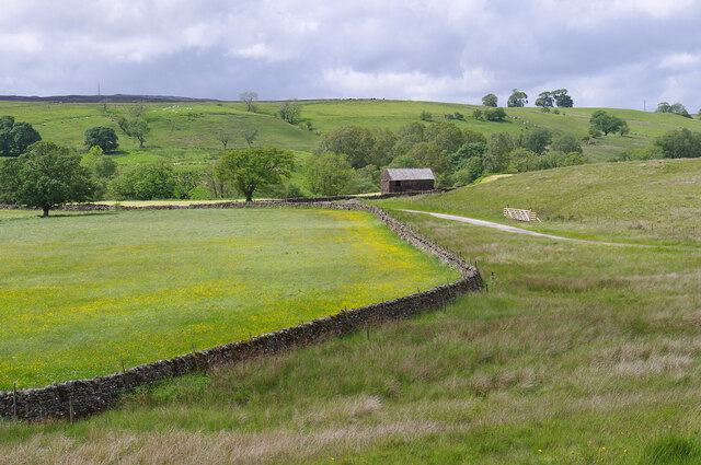
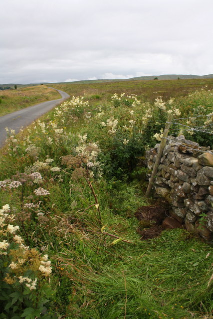
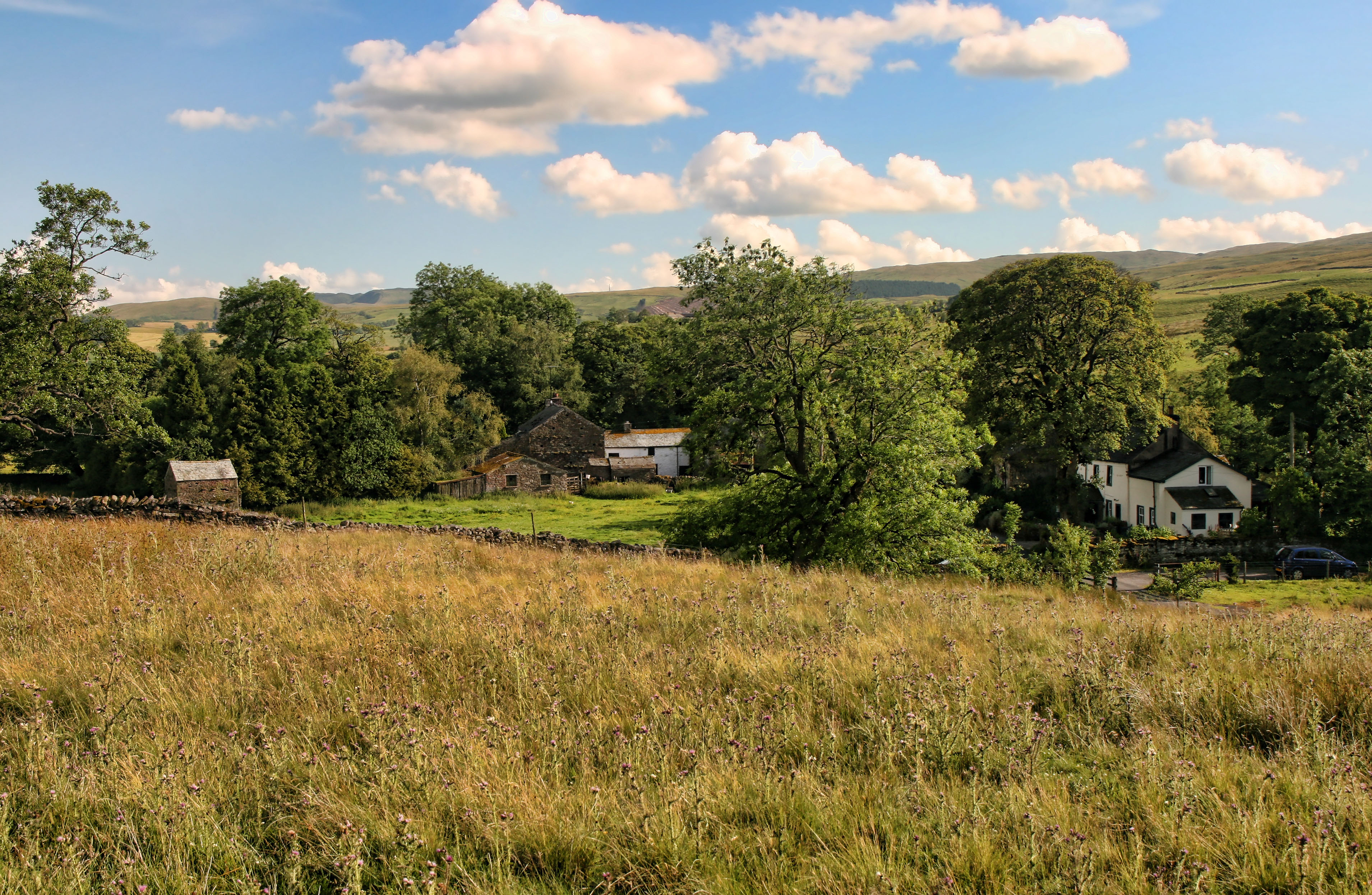
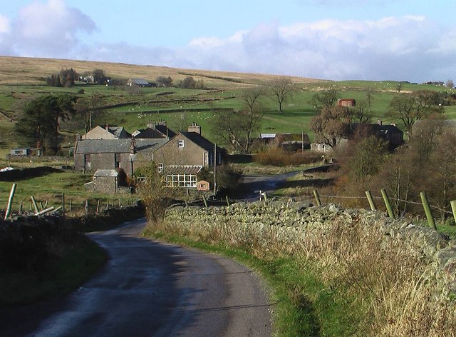
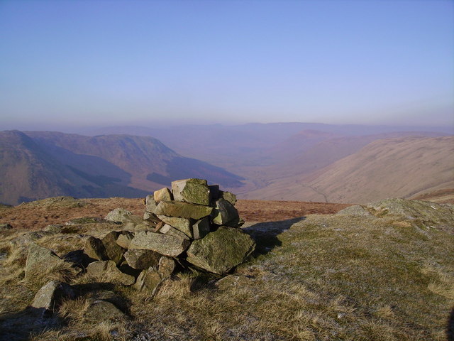
Nan Hill, located in Westmorland, is a prominent hill or mountain that captivates visitors with its picturesque beauty and rich cultural heritage. Standing at an elevation of around 1,000 feet, Nan Hill offers breathtaking views of the surrounding countryside, making it a popular destination for hikers, nature enthusiasts, and photographers.

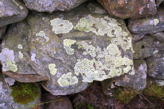
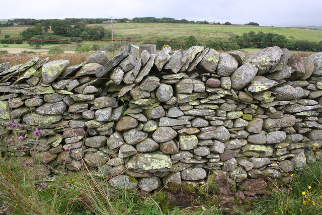
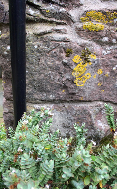
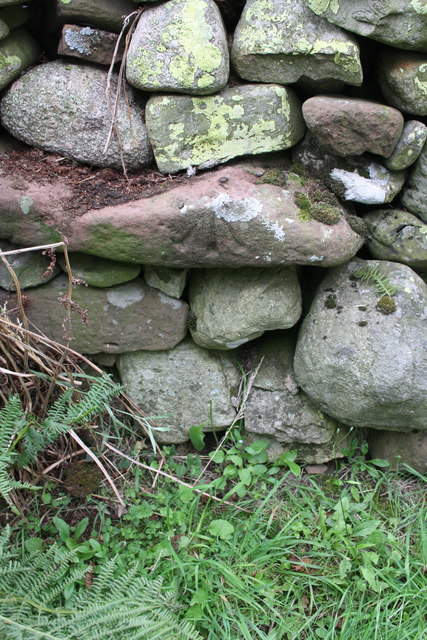
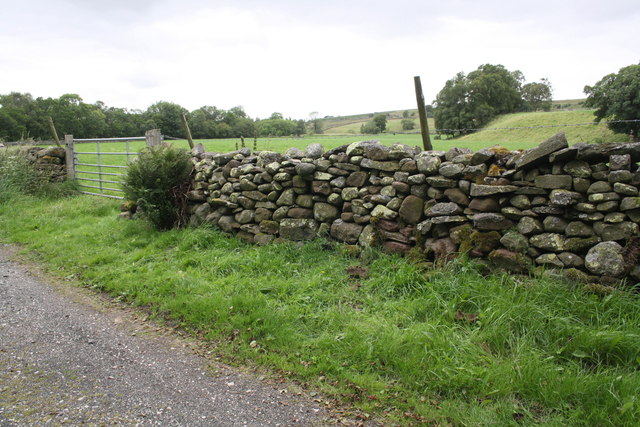
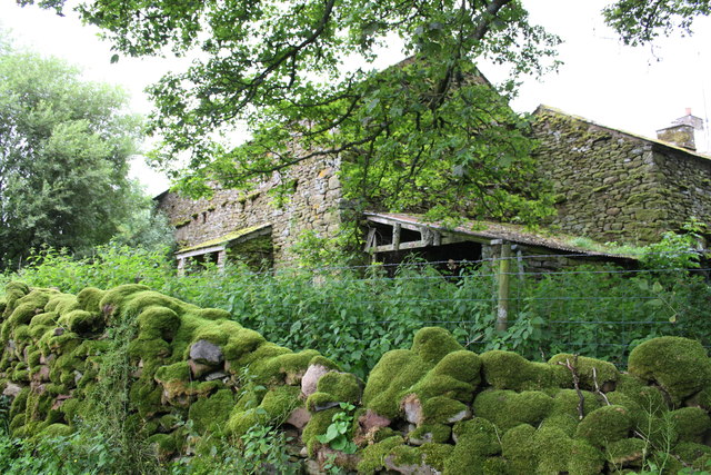
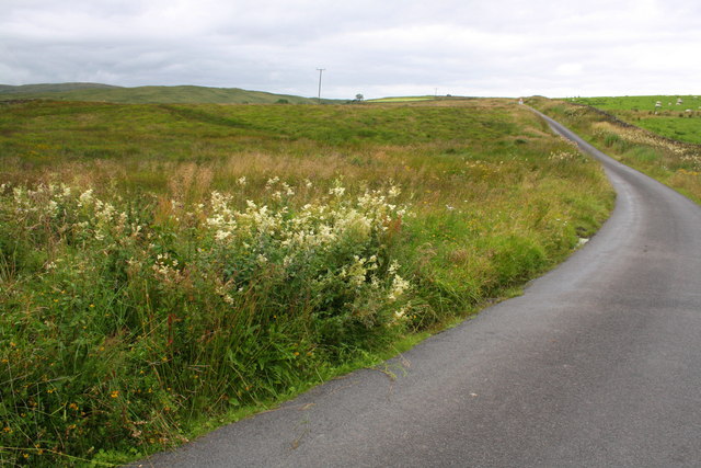
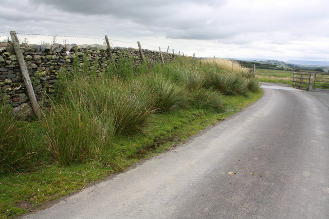
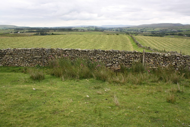
Situated within the enchanting Lake District National Park in northwest England, Nan Hill boasts a diverse range of flora and fauna, including heather-covered moorlands, ancient woodlands, and sparkling streams. The hill is renowned for its unique geological formations, with rugged cliffs and rocky outcrops adding to its dramatic allure.

Nan Hill holds historical significance as well, with evidence of ancient settlements and stone circles dating back thousands of years. The area has been inhabited since Neolithic times, and remnants of these early civilizations can still be seen today, offering a glimpse into the past.

For those seeking adventure, Nan Hill provides ample opportunities for outdoor activities such as hiking, rock climbing, and birdwatching. The hill is crisscrossed by well-maintained footpaths, which lead visitors through its diverse landscape and offer a chance to spot rare plant and animal species.

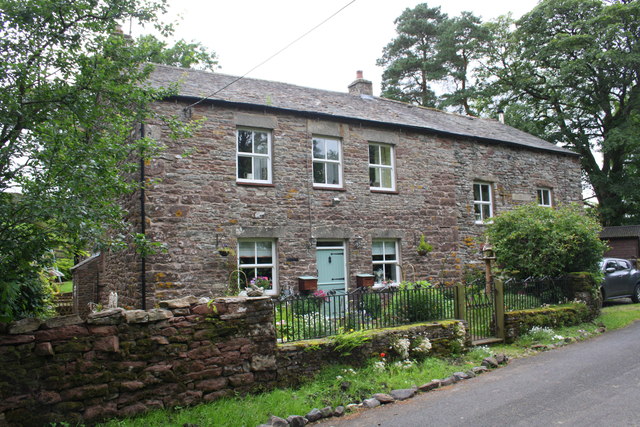
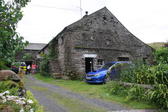
Nan Hill is easily accessible, with nearby parking facilities and public transportation options. The surrounding area offers various amenities, including quaint villages, cozy pubs, and charming bed and breakfast accommodations, ensuring a comfortable and enjoyable visit for all who venture to this scenic gem in Westmorland.

If you have any feedback on the listing, please let us know in the comments section below.
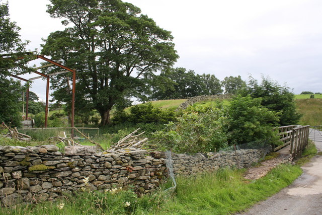
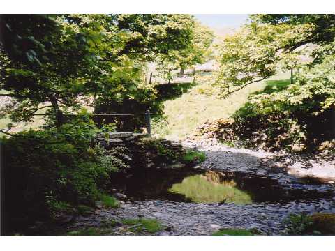
Nan Hill Images

Images are sourced within 2km of 54.452811/-2.6541859 or Grid Reference NY5706. Thanks to Geograph Open Source API. All images are credited.

Farmland, Scout Green With a field barn and wild flower meadows. The dry stone wall marks the boundary of the CRoW access land.
Farmland, Scout Green
With a field barn and wild flower meadows. The dry stone wall marks the boundary of the CRoW access land.
Benchmark on wall near Brackenhall Ordnance Survey rivet benchmark described on the Bench Mark Database at <span class="nowrap"><a title="http://www.bench-marks.org.uk/bm69614" rel="nofollow ugc noopener" href="http://www.bench-marks.org.uk/bm69614">Link</a><img style="margin-left:2px;" alt="External link" title="External link - shift click to open in new window" src="https://s1.geograph.org.uk/img/external.png" width="10" height="10"/></span>
Benchmark on wall near Brackenhall
Ordnance Survey rivet benchmark described on the Bench Mark Database at LinkExternal link
Junction of walls beside minor road near Brackenhall There is an OS benchmark <a href="https://www.geograph.org.uk/photo/4646570">NY5906 : Benchmark on wall near Brackenhall</a> on the lichen-encrusted stone near the base of the wall in the middle of the image
Junction of walls beside minor road near Brackenhall
There is an OS benchmark NY5906 : Benchmark on wall near Brackenhall on the lichen-encrusted stone near the base of the wall in the middle of the image
Benchmark on stone at base of wall near Steps Ordnance Survey rivet benchmark described on the Bench Mark Database at <span class="nowrap"><a title="http://www.bench-marks.org.uk/bm69615" rel="nofollow ugc noopener" href="http://www.bench-marks.org.uk/bm69615">Link</a><img style="margin-left:2px;" alt="External link" title="External link - shift click to open in new window" src="https://s1.geograph.org.uk/img/external.png" width="10" height="10"/></span>
Benchmark on stone at base of wall near Steps
Ordnance Survey rivet benchmark described on the Bench Mark Database at LinkExternal link
Minor road and dry stone wall angle SW of Steps There is an OS benchmark <a href="https://www.geograph.org.uk/photo/4646590">NY5906 : Benchmark on stone at base of wall near Steps</a> on a stone at the base of the wall exposed by digging
Minor road and dry stone wall angle SW of Steps
There is an OS benchmark NY5906 : Benchmark on stone at base of wall near Steps on a stone at the base of the wall exposed by digging
Benchmark on 'Beckside' Ordnance Survey cut mark benchmark described on the Bench Mark Database at <span class="nowrap"><a title="http://www.bench-marks.org.uk/bm69779" rel="nofollow ugc noopener" href="http://www.bench-marks.org.uk/bm69779">Link</a><img style="margin-left:2px;" alt="External link" title="External link - shift click to open in new window" src="https://s1.geograph.org.uk/img/external.png" width="10" height="10"/></span>
Benchmark on 'Beckside'
Ordnance Survey cut mark benchmark described on the Bench Mark Database at LinkExternal link
'Beckside' There is an OS benchmark <a href="https://www.geograph.org.uk/photo/4646621">NY5906 : Benchmark on 'Beckside'</a> on a quoin at the near angle of the house (behind the stone wall) right of the downpipe
'Beckside'
There is an OS benchmark NY5906 : Benchmark on 'Beckside' on a quoin at the near angle of the house (behind the stone wall) right of the downpipe
Benchmark on stone in wall NW of High Scales Ordnance Survey rivet benchmark described on the Bench Mark Database at <span class="nowrap"><a title="http://www.bench-marks.org.uk/bm69616" rel="nofollow ugc noopener" href="http://www.bench-marks.org.uk/bm69616">Link</a><img style="margin-left:2px;" alt="External link" title="External link - shift click to open in new window" src="https://s1.geograph.org.uk/img/external.png" width="10" height="10"/></span>
Benchmark on stone in wall NW of High Scales
Ordnance Survey rivet benchmark described on the Bench Mark Database at LinkExternal link
Dry stone wall beside minor road near High Scales There is an OS benchmark <a href="https://www.geograph.org.uk/photo/4646680">NY5907 : Benchmark on stone in wall NW of High Scales</a> on a stone in the wall right of the large fern
Dry stone wall beside minor road near High Scales
There is an OS benchmark NY5907 : Benchmark on stone in wall NW of High Scales on a stone in the wall right of the large fern
Outbuildings at South Scout Green
Minor road SW of Brackenhill A small stream passes under the road here - hidden well by the vegetation
Minor road SW of Brackenhill
A small stream passes under the road here - hidden well by the vegetation
Benchmark on stone in wall south of Brackenhill Ordnance Survey rivet benchmark described on the Bench Mark Database at <span class="nowrap"><a title="http://www.bench-marks.org.uk/bm69617" rel="nofollow ugc noopener" href="http://www.bench-marks.org.uk/bm69617">Link</a><img style="margin-left:2px;" alt="External link" title="External link - shift click to open in new window" src="https://s1.geograph.org.uk/img/external.png" width="10" height="10"/></span>
Benchmark on stone in wall south of Brackenhill
Ordnance Survey rivet benchmark described on the Bench Mark Database at LinkExternal link
Minor road at cattle grid south of Brackenhill There is an OS benchmark <a href="https://www.geograph.org.uk/photo/4646856">NY5906 : Benchmark on stone in wall south of Brackenhill</a> on a stone at the base of the wall left of the fence post at the left hand side of the image
Minor road at cattle grid south of Brackenhill
There is an OS benchmark NY5906 : Benchmark on stone in wall south of Brackenhill on a stone at the base of the wall left of the fence post at the left hand side of the image
Dry stone wall beside minor road at Ewelock Bank
Benchmark on 'Scalegill' Ordnance Survey rivet benchmark described on the Bench Mark Database at <span class="nowrap"><a title="http://www.bench-marks.org.uk/bm69618" rel="nofollow ugc noopener" href="http://www.bench-marks.org.uk/bm69618">Link</a><img style="margin-left:2px;" alt="External link" title="External link - shift click to open in new window" src="https://s1.geograph.org.uk/img/external.png" width="10" height="10"/></span>
Benchmark on 'Scalegill'
Ordnance Survey rivet benchmark described on the Bench Mark Database at LinkExternal link
'Scalegill' There is an OS benchmark <a href="https://www.geograph.org.uk/photo/4646906">NY5805 : Benchmark on 'Scalegill'</a> on the left hand side of the house at the front crner
'Scalegill'
There is an OS benchmark NY5805 : Benchmark on 'Scalegill' on the left hand side of the house at the front crner
Benchmark on stone at base of wall near Eskew Beck House Ordnance Survey rivet benchmark described on the Bench Mark Database at <span class="nowrap"><a title="http://www.bench-marks.org.uk/bm69619" rel="nofollow ugc noopener" href="http://www.bench-marks.org.uk/bm69619">Link</a><img style="margin-left:2px;" alt="External link" title="External link - shift click to open in new window" src="https://s1.geograph.org.uk/img/external.png" width="10" height="10"/></span>
Benchmark on stone at base of wall near Eskew Beck House
Ordnance Survey rivet benchmark described on the Bench Mark Database at LinkExternal link
Footbridge and ford on minor road for Eskew Beck There is an OS benchmark <a href="https://www.geograph.org.uk/photo/4646930">NY5805 : Benchmark on stone at base of wall near Eskew Beck House</a> on a stone at the base of the wall on the left hand side of the image
Footbridge and ford on minor road for Eskew Beck
There is an OS benchmark NY5805 : Benchmark on stone at base of wall near Eskew Beck House on a stone at the base of the wall on the left hand side of the image
Show me another place!

Nan Hill is located at Grid Ref: NY5706 (Lat: 54.452811, Lng: -2.6541859)

Administrative County: Cumbria

District: Eden

Police Authority: Cumbria

What 3 Words

///tips.berated.yacht. Near Shap, Cumbria

Related Wikis

Birkbeck Fells

Birkbeck Fells is a township located in part of the parishes of Crosby Ravensworth, Orton and Shap in the historic county of Westmorland. It is a large...

Bretherdale Head

Bretherdale Head is a hamlet in Cumbria, England. Meaning "Valley of the Brother", it was referred to as Britherdal in the 12th century. == References ==

Scout Green

Scout Green is a hamlet and small area of farm land near the village of Tebay in Cumbria, England. == History == It is best known among railway enthusiasts...

Greenholme

Greenholme is a hamlet in Cumbria, England.The Greenholme Gala and Agricultural Show is held there annually.Greenholme Bridge crosses the Birk Beck in...

Tebay Services

Tebay Services are motorway service stations on the M6 motorway in the Westmorland and Furness district of Cumbria, England. The northbound opened in 1972...

Wasdale Horseshoe

The Wasdale Horseshoe is a group of hills on the eastern fringe of the English Lake District, to the west of the A6, south of Shap, Cumbria. They surround...

Winterscleugh

Winterscleugh is a hill of 464 metres (1,522 ft) in Cumbria, England, to the east of the Lake District. It is in the far east of the Lake District National...

Borrowdale, Westmorland

Borrowdale is a valley in the English Lake District. It is located in the county of Westmorland, and is sometimes referred to as Westmorland Borrowdale...

Nearby Amenities

Located within 500m of 54.452811,-2.6541859
Nan Hill
Ele: 354
Natural: peak
Source: OS 1:25k
Lat/Long: 54.4529231/-2.6532856
Scot Howe
Ele: 340.8
Natural: peak
Source: OS 1:25k
Lat/Long: 54.4521272/-2.6487366
Eskew Head
Place: locality
Lat/Long: 54.4490611/-2.6511667
The data included in this document is from www.openstreetmap.org. The data is made available under ODbL.

Have you been to Nan Hill?

Leave your review of Nan Hill below (or comments, questions and feedback).