Barbrook
Settlement in Devon North Devon
England
Barbrook
Barbrook is a small village located in the county of Devon, England. Situated within the Dartmoor National Park, it is surrounded by picturesque landscapes and offers a peaceful and scenic setting for residents and visitors alike.
The village has a population of around 200 people and is known for its close-knit community and friendly atmosphere. It is situated approximately 5 miles northeast of the town of Chagford and 20 miles southwest of Exeter, the county's capital.
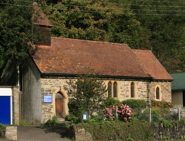
Barbrook is primarily a residential area, with a mix of traditional stone cottages, newer homes, and a few local businesses. The village is well-served by amenities, including a village hall, a primary school, and a pub, which serves as a central gathering point for locals.
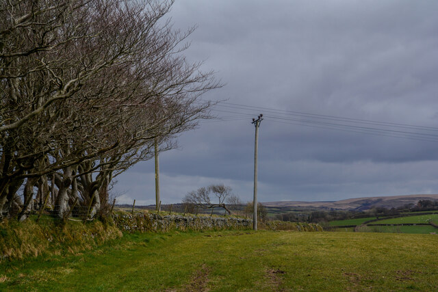
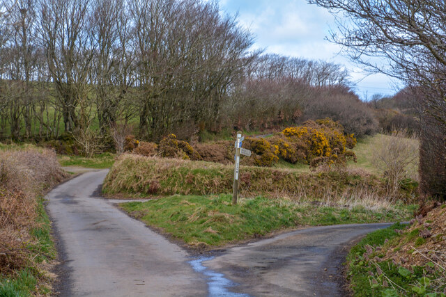
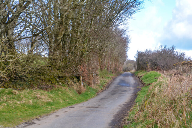
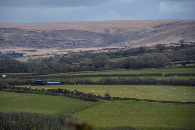
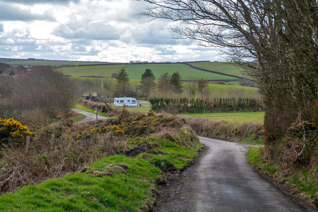
Nature enthusiasts are drawn to Barbrook due to its proximity to Dartmoor's stunning natural beauty. The area offers numerous walking and hiking trails, allowing visitors to explore the rugged moorland, ancient woodlands, and clear rivers. Wildlife is abundant, with the chance to spot wild ponies, deer, and various bird species.
The village also benefits from its location near a number of attractions. Nearby, visitors can explore the popular Castle Drogo, a dramatic castle perched on a hilltop overlooking the Teign Gorge. Additionally, the bustling market town of Tavistock and the historic city of Exeter are within easy reach, offering further amenities, shopping opportunities, and cultural experiences.
In conclusion, Barbrook is a charming village nestled within the picturesque Dartmoor National Park, offering a tranquil escape for nature lovers and a friendly community spirit for residents.
If you have any feedback on the listing, please let us know in the comments section below.
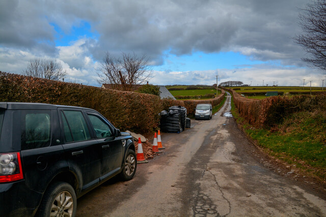
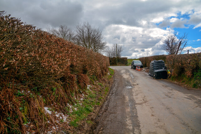
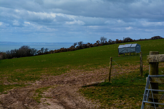
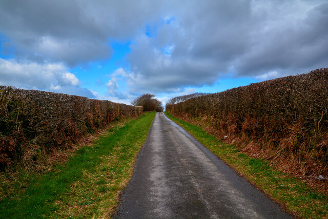
Barbrook Images
Images are sourced within 2km of 51.214477/-3.841941 or Grid Reference SS7147. Thanks to Geograph Open Source API. All images are credited.


Barbrook is located at Grid Ref: SS7147 (Lat: 51.214477, Lng: -3.841941)
Administrative County: Devon
District: North Devon
Police Authority: Devon and Cornwall
What 3 Words
///skylights.lands.fallen. Near Lynton, Devon
Nearby Locations
Related Wikis
Barbrook
Barbrook is a village in Devon, England. It is close to the source of the West Lyn River. The village post office and shop closed on 27 September 2008...

West Lynn, Devon
West Lynn is a hamlet in the civil parish of Lynton and Lynmouth in the North Devon district of Devon, England. Its nearest town is Lynton, which lies...
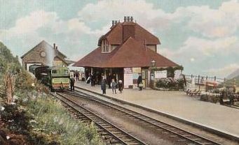
Lynton and Lynmouth railway station
Lynton and Lynmouth railway station was the terminus of the Lynton and Barnstaple Railway, a narrow gauge line that ran through Exmoor from Barnstaple...
Caffyns Halt railway station
Caffyns Halt was a halt on the Lynton and Barnstaple Railway, a narrow gauge line that ran through Exmoor, England, from Barnstaple to Lynton and Lynmouth...

Lynton
Lynton is a town on the Exmoor coast in the North Devon district in the county of Devon, England, approximately 17 miles (27 km) north-east of Barnstaple...

Lynton and Lynmouth
Lynton and Lynmouth is a civil parish in the North Devon district of Devon, England. The parish is named after its two main settlements of Lynton, which...

Lynton Town Hall
Lynton Town Hall is a municipal building in Lee Road, Lynton, Devon, England. The town hall, which was the meeting place of Lynton Urban District Council...

Lynmouth
Lynmouth is a village in Devon, England, on the northern edge of Exmoor. The village straddles the confluence of the West Lyn and East Lyn rivers, in a...
Nearby Amenities
Located within 500m of 51.214477,-3.841941Have you been to Barbrook?
Leave your review of Barbrook below (or comments, questions and feedback).