Ilkerton Wood

Wood, Forest in Devon North Devon

England

Ilkerton Wood

Lynton : Country Lane A small lane seen at Caffyns Cross.
Lynton : Country Lane Credit: Lewis Clarke

The requested URL returned error: 429 Too Many Requests

If you have any feedback on the listing, please let us know in the comments section below.

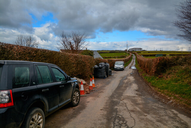
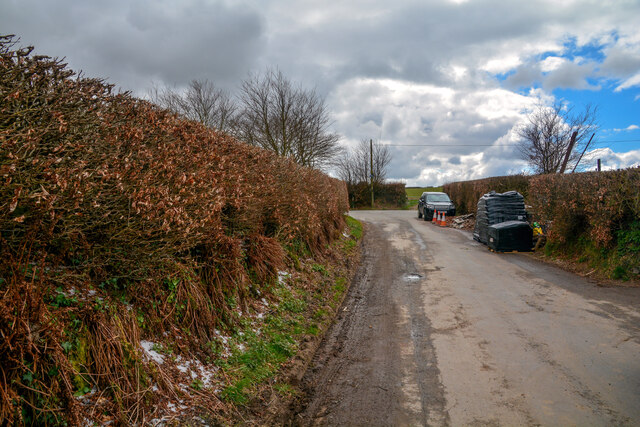
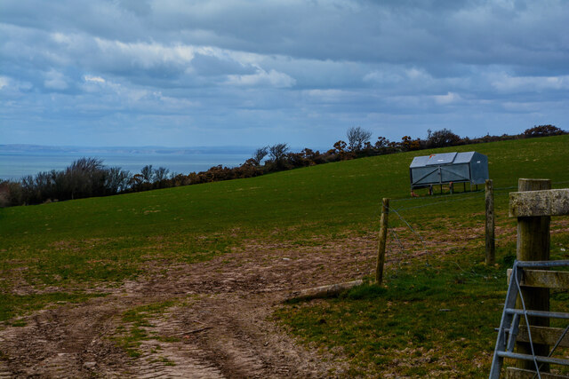
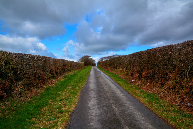
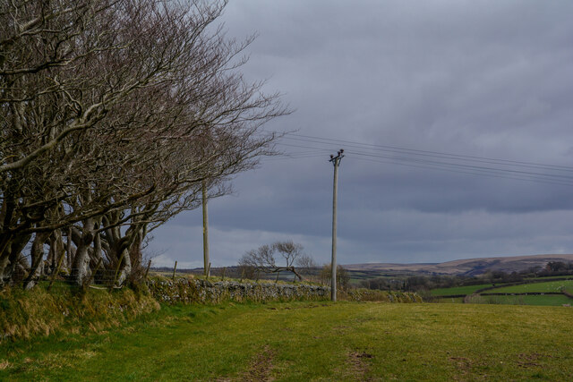
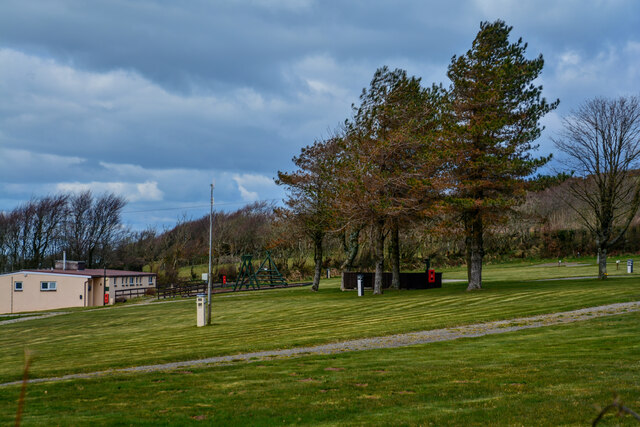
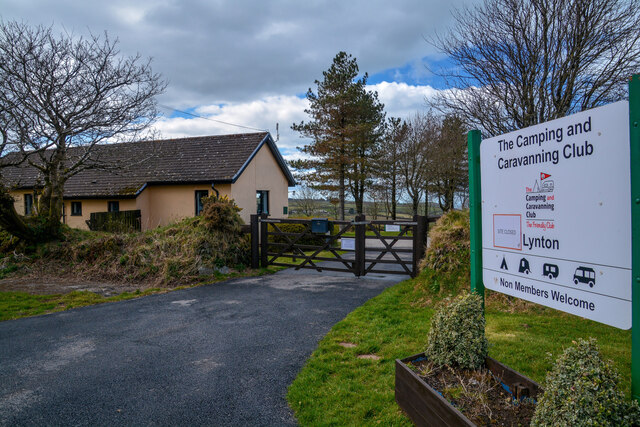
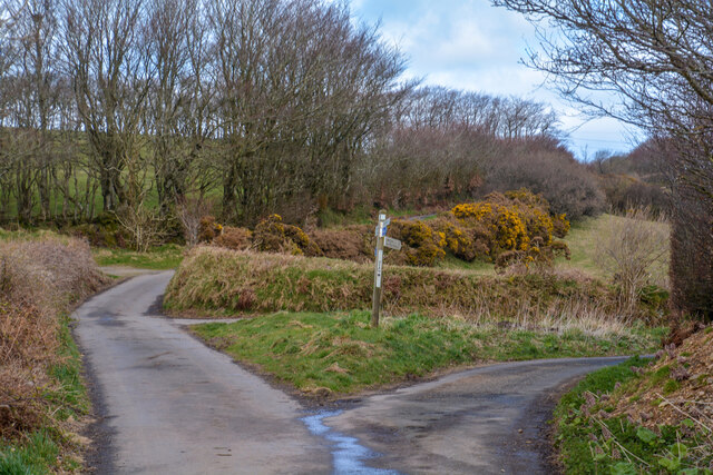
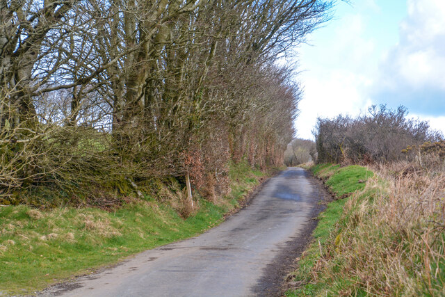
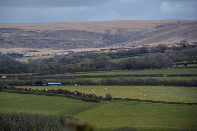
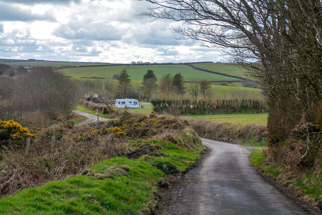
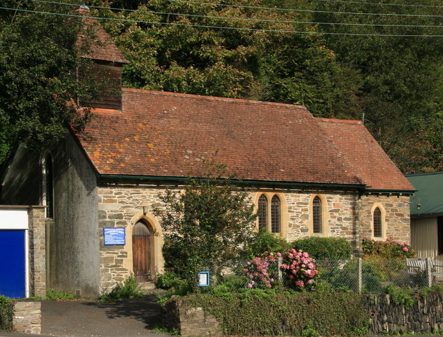
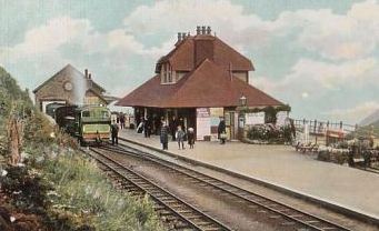
Ilkerton Wood Images

Images are sourced within 2km of 51.212069/-3.843907 or Grid Reference SS7147. Thanks to Geograph Open Source API. All images are credited.

Lynton : Country Lane A small lane seen at Caffyns Cross.
Lynton : Country Lane
A small lane seen at Caffyns Cross.
Lynton : Country Lane Looking along a small country lane.
Lynton : Country Lane
Looking along a small country lane.
Lynton : Grassy Field A grassy field in the countryside.
Lynton : Grassy Field
A grassy field in the countryside.
Lynton : Country Lane A small country lane.
Lynton : Country Lane
A small country lane.
Lynton : Grassy Field A grassy field in the countryside.
Lynton : Grassy Field
A grassy field in the countryside.
Lynton : Lynton Camping and Caravanning Club Site Lynton campsite sits above the Exmoor coast, the highest coastline in England and Wales, and is a stone's throw from the seaside resort of Lynton.
Lynton : Lynton Camping and Caravanning Club Site
Lynton campsite sits above the Exmoor coast, the highest coastline in England and Wales, and is a stone's throw from the seaside resort of Lynton.
Lynton : Lynton Camping and Caravanning Club Site The entrance to the caravan site.
Lynton : Lynton Camping and Caravanning Club Site
The entrance to the caravan site.
Lynton : Lydiate Lane Looking along Lydiate Lane on the left and Dean Lane on the right.
Lynton : Lydiate Lane
Looking along Lydiate Lane on the left and Dean Lane on the right.
Lynton : Lydiate Lane Looking along Lydiate Lane.
Lynton : Lydiate Lane
Looking along Lydiate Lane.
Lynton : Countryside Scenery Looking across the Exmoor countryside.
Lynton : Countryside Scenery
Looking across the Exmoor countryside.
Lynton : Lydiate Lane Looking along Lydiate Lane.
Lynton : Lydiate Lane
Looking along Lydiate Lane.
Lynton : Grassy Field & Gate Looking beyond the gate into the field.
Lynton : Grassy Field & Gate
Looking beyond the gate into the field.
Lynton : Grassy Field Looking across the countryside and Exmoor scenery.
Lynton : Grassy Field
Looking across the countryside and Exmoor scenery.
Lynton : Lydiate Lane Looking along Lydiate Lane.
Lynton : Lydiate Lane
Looking along Lydiate Lane.
Lynton : Grassy Field A grassy field and mast.
Lynton : Grassy Field
A grassy field and mast.
Lynton : Farm Farm barns in the countryside off Lydiate Lane.
Lynton : Farm
Farm barns in the countryside off Lydiate Lane.
Lynton : Lydiate Lane Looking along the country lane.
Lynton : Lydiate Lane
Looking along the country lane.
Lynton : Grassy Field A grassy field in the countryside.
Lynton : Grassy Field
A grassy field in the countryside.
Show me another place!

Ilkerton Wood is located at Grid Ref: SS7147 (Lat: 51.212069, Lng: -3.843907)

Administrative County: Devon

District: North Devon

Police Authority: Devon and Cornwall

What 3 Words

///judge.crumb.glides. Near Lynton, Devon

Related Wikis

Barbrook

Barbrook is a village in Devon, England. It is close to the source of the West Lyn River. The village post office and shop closed on 27 September 2008...

West Lynn, Devon

West Lynn is a hamlet in the civil parish of Lynton and Lynmouth in the North Devon district of Devon, England. Its nearest town is Lynton, which lies...

Caffyns Halt railway station

Caffyns Halt was a halt on the Lynton and Barnstaple Railway, a narrow gauge line that ran through Exmoor, England, from Barnstaple to Lynton and Lynmouth...

Lynton and Lynmouth railway station

Lynton and Lynmouth railway station was the terminus of the Lynton and Barnstaple Railway, a narrow gauge line that ran through Exmoor from Barnstaple...

Nearby Amenities

Located within 500m of 51.212069,-3.843907
Barbrook
Direction: forward
Traffic Sign: city_limit
Lat/Long: 51.2143088/-3.84567
Fuel
Barbrook Service Station
Brand: Gulf
Lat/Long: 51.213416/-3.8420007
Post Office
Lat/Long: 51.2138365/-3.8409608
Shop: convenience
Lat/Long: 51.2133353/-3.8419445
Give Way
Direction: backward
Lat/Long: 51.2135751/-3.8417588
Bus Stop
Bus: yes
Public Transport: platform
Lat/Long: 51.2137846/-3.8410951
Post Box
Brand: Royal Mail
Brand Wikidata: Q638098
Operator: Royal Mail
Operator Wikidata: Q638098
Post Box Mounting: pier
Post Box Type: lamp
Ref: EX35 42
Royal Cypher: EIIR
Royal Cypher Wikidata: Q33102113
Lat/Long: 51.2137386/-3.8411882
Building: yes
Lat/Long: 51.2093033/-3.8384911
Power: pole
Lat/Long: 51.215419/-3.8425083
Power: pole
Lat/Long: 51.2160081/-3.8431783
Power: pole
Lat/Long: 51.2147338/-3.8417554
Generator Method: photovoltaic
Generator Output Electricity: yes
Generator Source: solar
Generator Type: solar_photovoltaic_panel
Location: roof
Power: generator
Lat/Long: 51.2137292/-3.8419568
Generator Method: photovoltaic
Generator Output Electricity: yes
Generator Source: solar
Generator Type: solar_photovoltaic_panel
Location: roof
Power: generator
Lat/Long: 51.2137598/-3.8418288
Bench
Backrest: yes
Material: wood
Lat/Long: 51.2136063/-3.842198
Welcome to Lynton & Lynmouth
Information: board
Tourism: information
Lat/Long: 51.2144993/-3.8461469
Parking
Parking: layby
Lat/Long: 51.2144892/-3.8461885
Lynton and Lynmouth
Direction: forward
Traffic Sign: city_limit
Lat/Long: 51.2145134/-3.8466587
Give Way
Direction: forward
Lat/Long: 51.2134404/-3.8423583
Defibrillator
Access: yes
Booth: K6
Covered: booth
Defibrillator Location: Inside old red telephone box at junction of Barbrook Road and West Lyn Road
Disused Amenity: telephone
Emergency: defibrillator
Man Made: telephone_box
Mapillary: 1388797705300181
Lat/Long: 51.2136739/-3.8414099
The data included in this document is from www.openstreetmap.org. The data is made available under ODbL.

Have you been to Ilkerton Wood?

Leave your review of Ilkerton Wood below (or comments, questions and feedback).