Catgallows Hill
Hill, Mountain in Cumberland Carlisle
England
Catgallows Hill
Catgallows Hill is a prominent geographical feature located in the county of Cumberland, England. Situated in the western part of the county, this hill is classified as a hill/mountain due to its significant elevation and steep slopes. It is part of the larger Lake District National Park, renowned for its stunning natural beauty and breathtaking landscapes.
Rising to an impressive height of approximately 1,700 feet (518 meters) above sea level, Catgallows Hill offers breathtaking panoramic views of the surrounding countryside. Its distinctive shape and rugged appearance make it a popular destination among hikers, climbers, and nature enthusiasts seeking an adventurous experience.
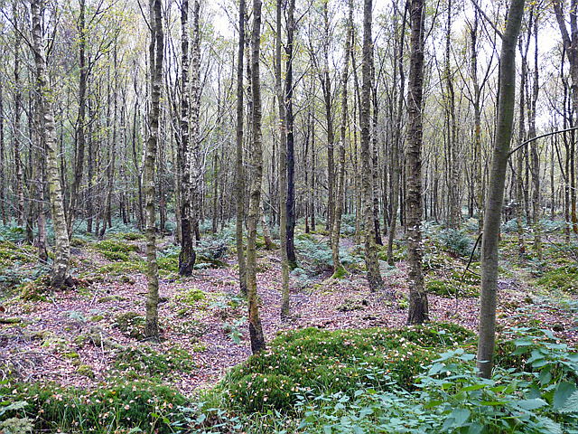
The hill is characterized by its rocky terrain, covered with a variety of flora and fauna native to the region. Its slopes are adorned with vibrant heather, grasses, and occasional patches of woodland, adding to its picturesque charm. The rocky outcrops and crags provide habitats for a diverse range of wildlife, including birds of prey such as peregrine falcons and buzzards.
The summit of Catgallows Hill offers a vantage point to admire the stunning vistas of the Lake District, with its rolling hills, sparkling lakes, and distant mountains. On clear days, one can even catch a glimpse of Scotland's southern coastline.
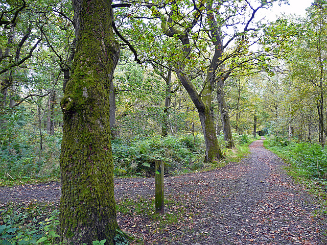
Access to Catgallows Hill is facilitated by several footpaths and trails that wind their way up the hill, providing visitors with opportunities for leisurely walks or more challenging hikes. It is advisable to check weather conditions and take necessary precautions before embarking on any ascent.
Overall, Catgallows Hill is a remarkable natural landmark that showcases the beauty and diversity of the Cumberland region, making it a must-visit destination for outdoor enthusiasts and nature lovers alike.
If you have any feedback on the listing, please let us know in the comments section below.
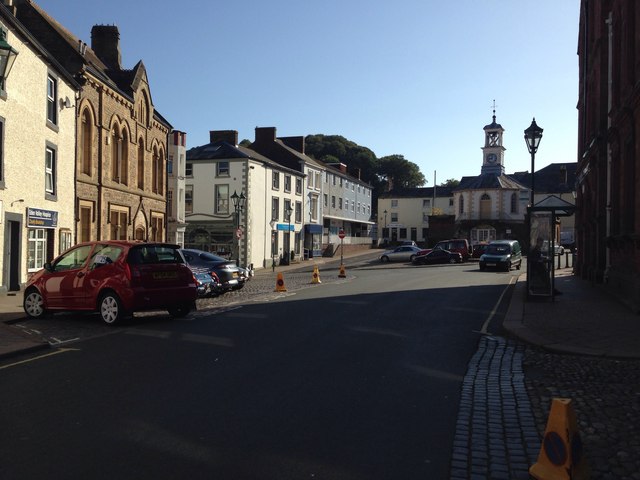
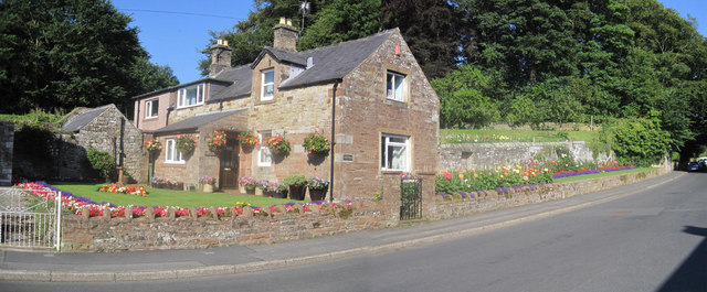
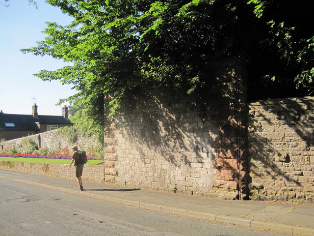
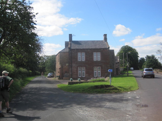
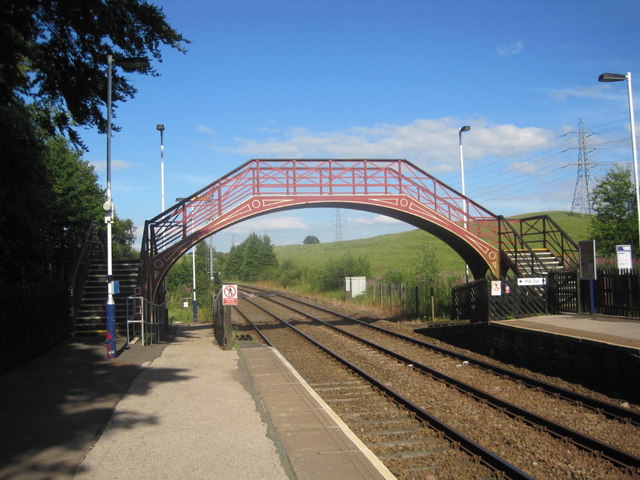
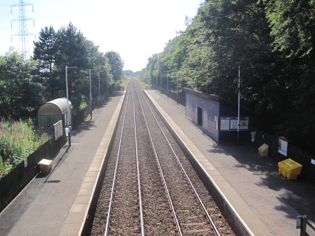
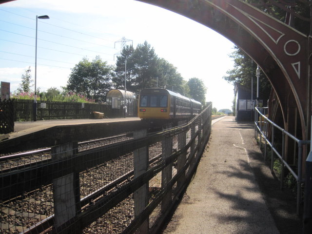
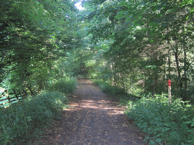
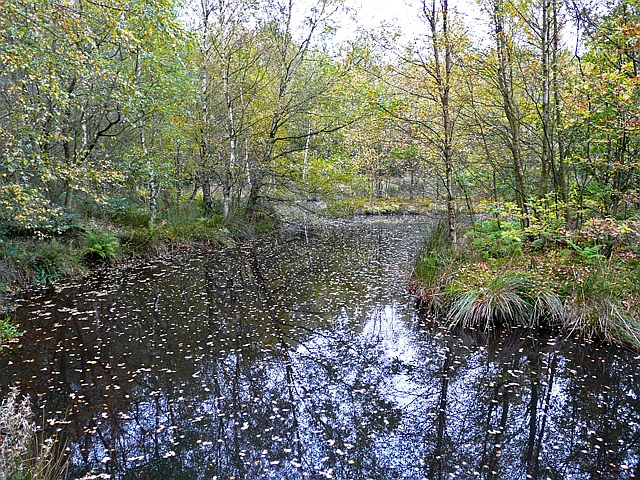
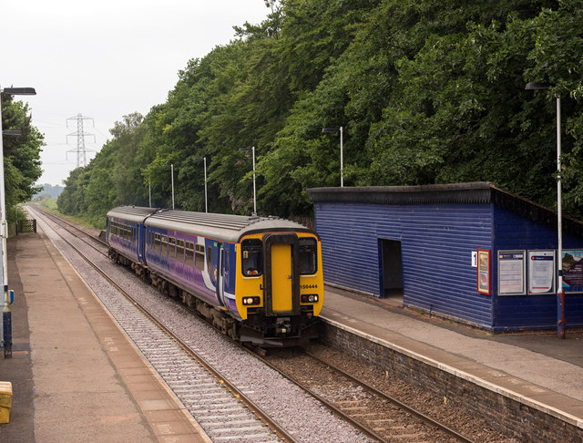
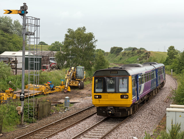
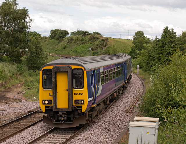
Catgallows Hill Images
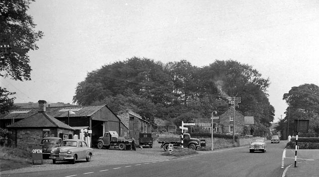
Images are sourced within 2km of 54.945859/-2.7153593 or Grid Reference NY5461. Thanks to Geograph Open Source API. All images are credited.


Catgallows Hill is located at Grid Ref: NY5461 (Lat: 54.945859, Lng: -2.7153593)
Administrative County: Cumbria
District: Carlisle
Police Authority: Cumbria
What 3 Words
///latitudes.juggler.subsets. Near Brampton, Cumbria
Nearby Locations
Related Wikis
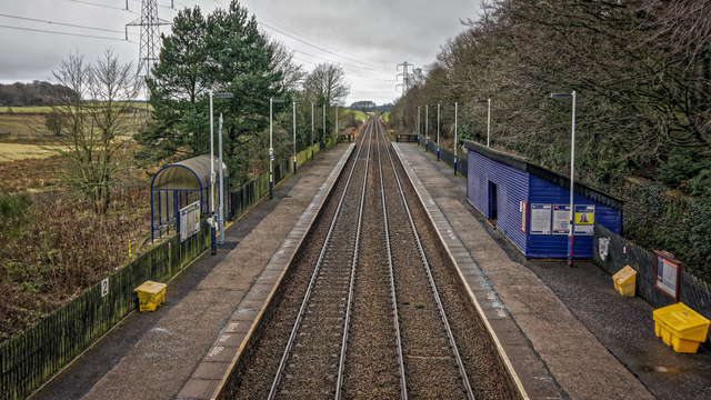
Brampton Town railway station
Brampton Town railway station was the terminus of the Brampton Town Branch, in the centre of Brampton, Cumbria, England. It was opened in 1775, to work...

King Water
King Water is a river in the north of Cumbria, England. The Brampton Angling Association has a long term let from the Earl of Carlisle for fishing rights...

Brampton, Carlisle
Brampton is a market town and civil parish in the Cumberland unitary authority of Cumbria, England. It is 9 miles (14 km) east of Carlisle and 2 miles...

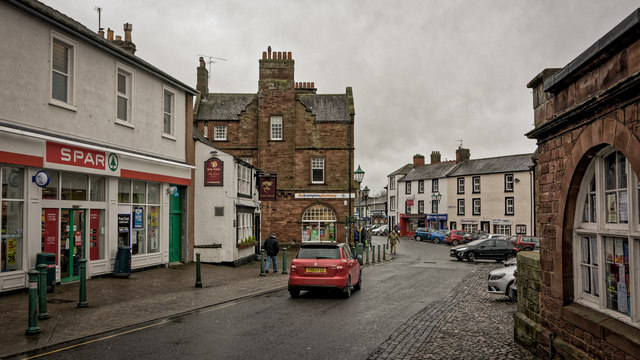
Moot Hall, Brampton
The Moot Hall is a municipal building in The Market Place in Brampton, Cumbria, England. The building, which is used as a local tourist information office...
Nearby Amenities
Located within 500m of 54.945859,-2.7153593Have you been to Catgallows Hill?
Leave your review of Catgallows Hill below (or comments, questions and feedback).