King's Hillock
Hill, Mountain in Aberdeenshire
Scotland
King's Hillock
King's Hillock is a prominent hill located in Aberdeenshire, Scotland. Standing at an elevation of approximately 313 meters (1,027 feet), it is considered one of the noteworthy landmarks in the region. The hill is situated about 5 kilometers (3 miles) northeast of the town of Netherley, offering stunning views of the surrounding countryside.
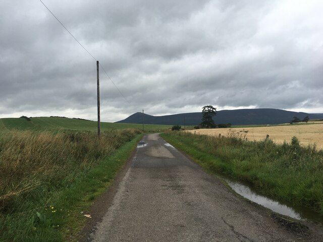
Covered in lush green vegetation, King's Hillock is characterized by its gently sloping sides and a rounded summit. Its terrain is predominantly composed of grassy slopes, which are ideal for walking and hiking enthusiasts. The hill provides a pleasant and accessible outdoor recreational area for locals and visitors alike.
From the summit of King's Hillock, on a clear day, one can enjoy panoramic vistas of the Aberdeenshire countryside, including rolling hills, picturesque farmland, and nearby coastal areas. The hill's strategic location also allows for panoramic views of the North Sea, as well as the neighboring towns and villages.
Due to its natural beauty and accessibility, King's Hillock attracts a variety of wildlife and is a popular spot for birdwatching. Visitors may encounter various bird species such as buzzards, kestrels, and larks, along with other small mammals like rabbits and foxes.
Overall, King's Hillock is a scenic and tranquil destination that offers a wonderful opportunity to connect with nature and enjoy breathtaking views of Aberdeenshire's picturesque landscape. Whether it be for a leisurely stroll or a more challenging hike, this hill provides a memorable experience for outdoor enthusiasts and nature lovers.
If you have any feedback on the listing, please let us know in the comments section below.
King's Hillock Images
Images are sourced within 2km of 57.333169/-2.7610667 or Grid Reference NJ5427. Thanks to Geograph Open Source API. All images are credited.

![Gadie Burn The little Gadie Burn runs to the north and east of the mountain of Bennachie.
John Strachan sings Where the Gadie Rins
O gin I were where Gadie rins, where Gadie rins, where Gadie rins,
O gin I were where Gadie rins, at the back o Bennachie.
O I never there come back again, come back again, come back again,
O, I should ne’er come back again, yer Lowland lads tae see.
I never hid but twa rieht lads, but twa rieht lads, but twa rieht lads,
I never hid but twa rieht lads that dearly loved me.
The teen was killed in Lowrin Fair, in Lowrin Fair, in Lowrin Fair,
The teen was killed in Lowrin Fair and the tither was drooned in Dee.
Hid they gien my lovie man for man, man for man, man for man,
Hid they gien my lovie man for man, or yet’s the man for three.
He widna lyin so low the day, so low the day, so low the day,
He widna lyin so low the day at the fit o yonder tree.
[Spoken:] Good enough.](https://s1.geograph.org.uk/geophotos/07/68/61/7686145_d21911b7.jpg)


King's Hillock is located at Grid Ref: NJ5427 (Lat: 57.333169, Lng: -2.7610667)
Unitary Authority: Aberdeenshire
Police Authority: North East
What 3 Words
///coverings.backswing.months. Near Insch, Aberdeenshire
Nearby Locations
Related Wikis

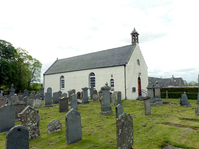
Clatt
Clatt (Gaelic cleithe, 'concealed'), is a village in Aberdeenshire, Scotland. The remains of a morthouse are located in the cemetery of the old church...

Ardlair Stone
The Ardlair Stone is a class I Pictish stone that stands in a field in Ardlair, Kennethmont, Aberdeenshire, Scotland. It is associated with a number of...

Kennethmont
Kennethmont (archaically Kinnethmont, or Kirkhill of Kennethmont) is a village in the Marr area of Aberdeenshire, Scotland, approximately 8 miles (13 km...

Ardmore distillery
Ardmore distillery is a single malt Scotch whisky distillery, located in the village of Kennethmont, Scotland. The distillery is owned and operated by...
Nearby Amenities
Located within 500m of 57.333169,-2.7610667Have you been to King's Hillock?
Leave your review of King's Hillock below (or comments, questions and feedback).