Horensby's Hole
Lake, Pool, Pond, Freshwater Marsh in Cumberland Carlisle
England
Horensby's Hole
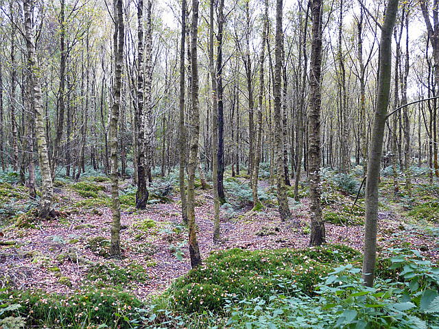
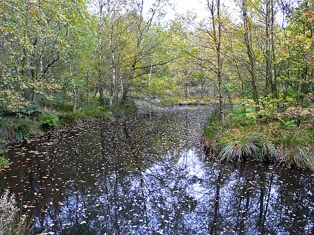
Horensby's Hole is a stunning freshwater marsh located in Cumberland, a picturesque town in Northwest England. This natural wonder is often referred to as a lake, pool, pond, or freshwater marsh due to its unique characteristics. Spanning an area of approximately 5 acres, Horensby's Hole showcases a diverse ecosystem that is home to a wide variety of flora and fauna.
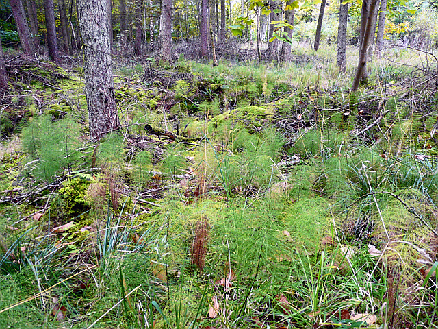
Surrounded by lush greenery, the marsh boasts an abundance of aquatic plants such as water lilies, reeds, and cattails. These plants not only add to the beauty of the landscape but also provide a crucial habitat for numerous species of birds, mammals, and insects.
The tranquil waters of Horensby's Hole support a thriving ecosystem, offering a sanctuary for various aquatic creatures. Visitors can spot several species of fish, including perch, roach, and pike, gliding beneath the surface. Additionally, Horensby's Hole attracts numerous waterfowl throughout the year, making it a popular spot for birdwatching enthusiasts.
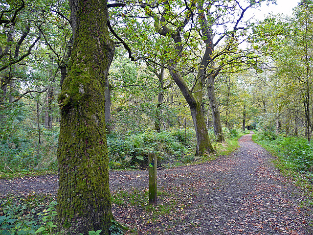
The marsh is surrounded by a network of footpaths, allowing visitors to explore its natural wonders and observe the wildlife from a safe distance. The peaceful atmosphere and breathtaking views make Horensby's Hole a favorite destination for nature lovers and outdoor enthusiasts seeking a serene escape from the hustle and bustle of everyday life.
Overall, Horensby's Hole in Cumberland is a captivating freshwater marsh that offers a glimpse into the beauty and diversity of nature. Its tranquil waters, vibrant flora, and abundant wildlife make it a must-visit destination for anyone with an appreciation for the natural world.
If you have any feedback on the listing, please let us know in the comments section below.
Horensby's Hole Images
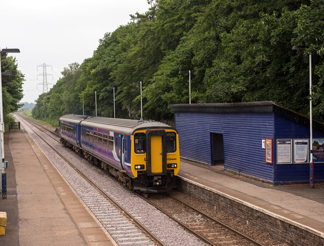
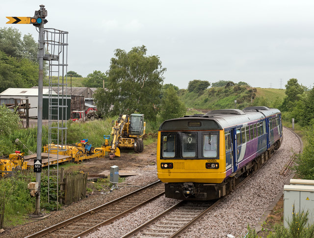
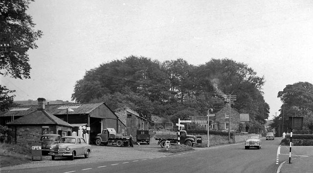
Images are sourced within 2km of 54.946832/-2.7133783 or Grid Reference NY5461. Thanks to Geograph Open Source API. All images are credited.
Horensby's Hole is located at Grid Ref: NY5461 (Lat: 54.946832, Lng: -2.7133783)
Administrative County: Cumbria
District: Carlisle
Police Authority: Cumbria
What 3 Words
///recapture.deduced.loops. Near Brampton, Cumbria
Nearby Locations
Related Wikis
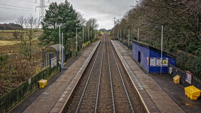
Brampton Town railway station
Brampton Town railway station was the terminus of the Brampton Town Branch, in the centre of Brampton, Cumbria, England. It was opened in 1775, to work...

King Water
King Water is a river in the north of Cumbria, England. The Brampton Angling Association has a long term let from the Earl of Carlisle for fishing rights...

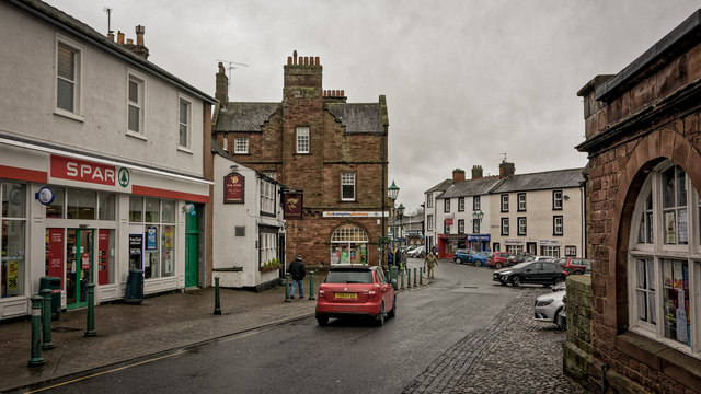
Brampton, Carlisle
Brampton is a market town and civil parish in the Cumberland unitary authority of Cumbria, England. It is 9 miles (14 km) east of Carlisle and 2 miles...

Moot Hall, Brampton
The Moot Hall is a municipal building in The Market Place in Brampton, Cumbria, England. The building, which is used as a local tourist information office...
Nearby Amenities
Located within 500m of 54.946832,-2.7133783Have you been to Horensby's Hole?
Leave your review of Horensby's Hole below (or comments, questions and feedback).