Barrelwell Pool

Lake, Pool, Pond, Freshwater Marsh in Roxburghshire

Scotland

Barrelwell Pool

A logging track meets the trackbed of the former Waverley Route This image is taken with an aspect looking back along the former Waverley Route; a logging track from the nearby minor road joins from the left.

This photograph was taken during the Coronavirus (COVID-19) pandemic of 2020/21/22.
A logging track meets the trackbed of the former Waverley Route Credit: James T M Towill

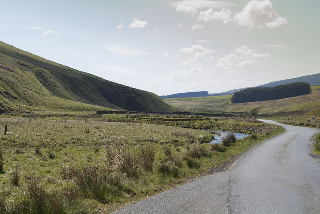
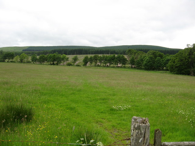
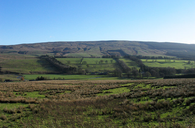
Barrelwell Pool is a picturesque freshwater lake located in the scenic region of Roxburghshire in the Scottish Borders. It is situated within a lush green landscape, surrounded by rolling hills and dense woodlands, creating a tranquil and serene atmosphere for visitors to enjoy.

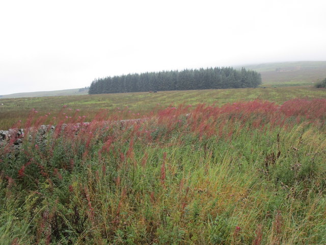
Covering an area of approximately 10 acres, Barrelwell Pool is a natural body of water formed by a small stream that flows from the nearby hills. The lake is relatively shallow, with an average depth of 3 meters, and boasts crystal-clear waters that support a diverse ecosystem of aquatic life.

The pool is known for its remarkable biodiversity, providing a habitat for various species of fish, including trout and perch. It is also home to numerous waterfowl, such as ducks, swans, and geese, which can often be seen gracefully gliding across the water's surface.

Surrounding the lake, there is a thriving freshwater marsh, characterized by lush vegetation, reeds, and water lilies. This marshland provides a haven for a range of bird species, including herons, kingfishers, and warblers. Birdwatchers and nature enthusiasts will delight in the opportunity to observe these fascinating creatures in their natural habitat.

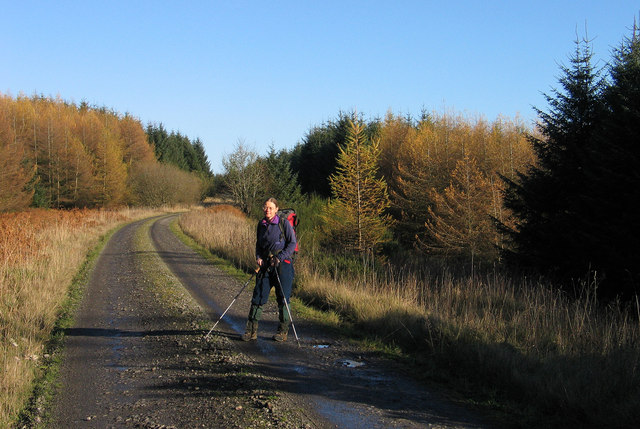
Barrelwell Pool offers a peaceful retreat for outdoor enthusiasts, providing ample opportunities for fishing, birdwatching, and leisurely walks along its tranquil shores. Its idyllic setting and abundant wildlife make it an ideal destination for those seeking to immerse themselves in the beauty of nature in Roxburghshire.

If you have any feedback on the listing, please let us know in the comments section below.

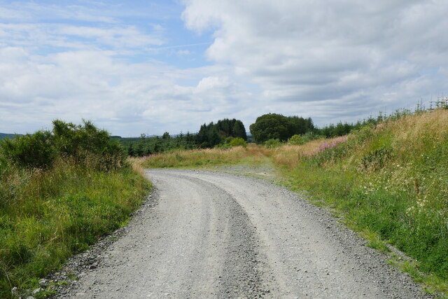
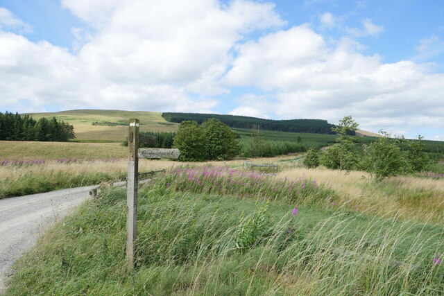
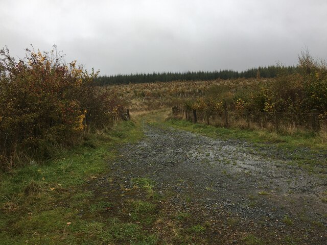
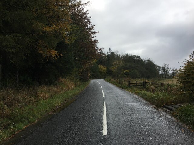
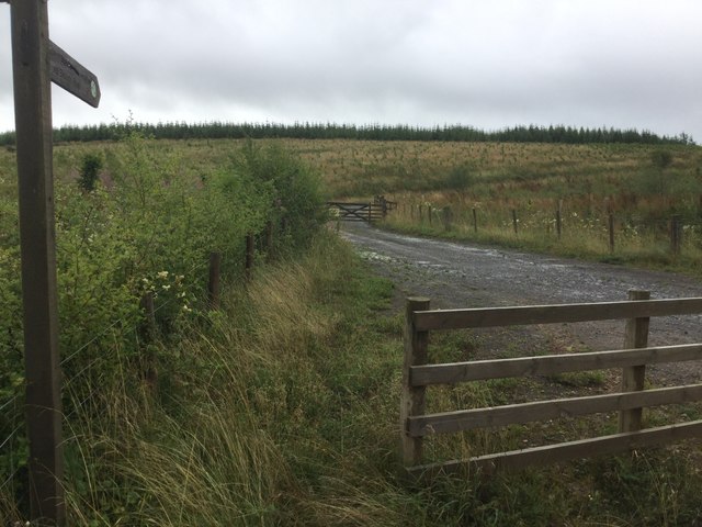
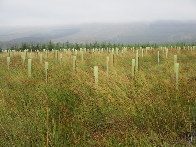
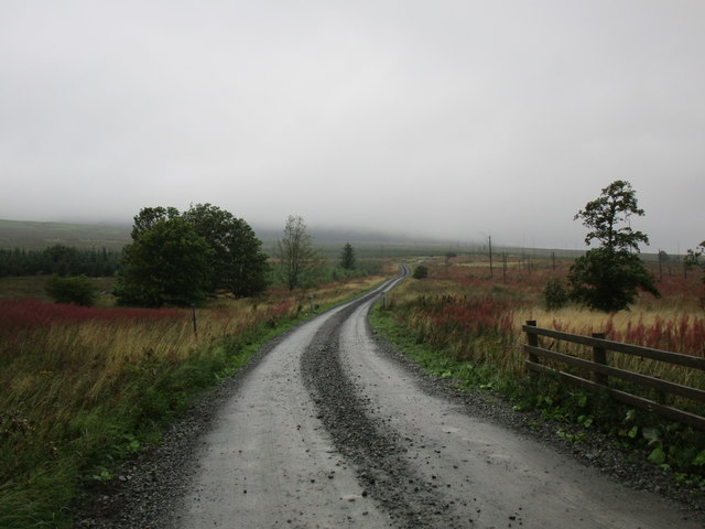
Barrelwell Pool Images

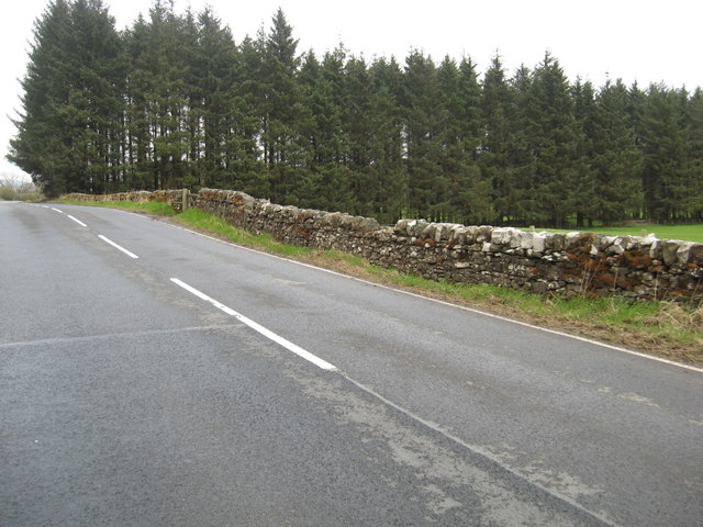
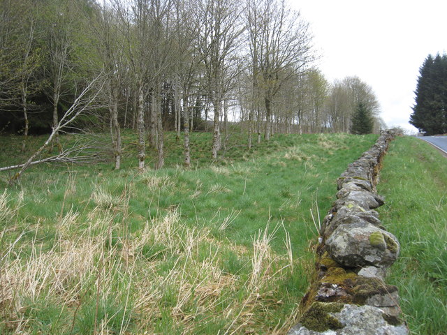
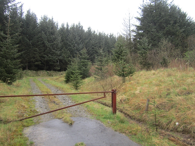
Images are sourced within 2km of 55.239923/-2.7188066 or Grid Reference NY5494. Thanks to Geograph Open Source API. All images are credited.

A logging track meets the trackbed of the former Waverley Route This image is taken with an aspect looking back along the former Waverley Route; a logging track from the nearby minor road joins from the left.

This photograph was taken during the Coronavirus (COVID-19) pandemic of 2020/21/22.
A logging track meets the trackbed of the former Waverley Route
This image is taken with an aspect looking back along the former Waverley Route; a logging track from the nearby minor road joins from the left. This photograph was taken during the Coronavirus (COVID-19) pandemic of 2020/21/22.
A fingerpost near Taylor's Cleuch This track affords access to the trackbed of the former Waverley Route near Steele Road.

This photograph was taken during the Coronavirus (COVID-19) pandemic of 2020/21/22.
A fingerpost near Taylor's Cleuch
This track affords access to the trackbed of the former Waverley Route near Steele Road. This photograph was taken during the Coronavirus (COVID-19) pandemic of 2020/21/22.
Forestry road near Newcastleton Forest
B6357 towards Newcastleton
A very empty looking valley This road is the B6357 hardly a B class road as it is really a single track road with passing places. The valley is used for sheep and cattle grazing.
A very empty looking valley
This road is the B6357 hardly a B class road as it is really a single track road with passing places. The valley is used for sheep and cattle grazing.
Forest road end Signposted for the border at Bloody Bush, reached after a crossing of the Larriston Fells.
Forest road end
Signposted for the border at Bloody Bush, reached after a crossing of the Larriston Fells.
Young woodland, Hewisbridge Between road and river in Liddesdale. The trees are spaced, so there is plenty of room for the flower display.
Young woodland, Hewisbridge
Between road and river in Liddesdale. The trees are spaced, so there is plenty of room for the flower display.
New plantation near Steele Road
Track into clear-felled woodland A bleak scene on a wet day. Dominated by rosebay willowherb.
Track into clear-felled woodland
A bleak scene on a wet day. Dominated by rosebay willowherb.
View towards a small plantation The former Waverley railway line ran through the middle of this plantation.
View towards a small plantation
The former Waverley railway line ran through the middle of this plantation.
Taylor's Cleuch Most of the surrounding woodland has been felled.
Taylor's Cleuch
Most of the surrounding woodland has been felled.
Farmlands near Larriston and Riccarton farms North of Newcastleton in Roxburghshire.
Farmlands near Larriston and Riccarton farms
North of Newcastleton in Roxburghshire.
Rail bed of the Waverley Line The rail bed is seen here in the vicinity of Todshaw Sike, looking towards Riccarton Junction. Work to reinstate the railway between Edinburgh and Tweedsbank is ongoing, (February 2013), but it seems that there are no plans at present to bring railway lines this far south!
Rail bed of the Waverley Line
The rail bed is seen here in the vicinity of Todshaw Sike, looking towards Riccarton Junction. Work to reinstate the railway between Edinburgh and Tweedsbank is ongoing, (February 2013), but it seems that there are no plans at present to bring railway lines this far south!
Rough grazing near to Riccarton Farm The slope descends to the valley of the Liddel Water from the dismantled railway route south of Riccarton Junction. Riccarton Farm is just out of view to the left side of the image. Larriston Fell is on the skyline.
Rough grazing near to Riccarton Farm
The slope descends to the valley of the Liddel Water from the dismantled railway route south of Riccarton Junction. Riccarton Farm is just out of view to the left side of the image. Larriston Fell is on the skyline.
Looking back on the B6357 and a woodland shelterbelt South of Larriston Farm in Roxburghshire.
Looking back on the B6357 and a woodland shelterbelt
South of Larriston Farm in Roxburghshire.
Young plantation and rough grassland south of Larristion Farm Off the B6357 in south Roxburghshire.
Young plantation and rough grassland south of Larristion Farm
Off the B6357 in south Roxburghshire.
Steele Road heading south-west In southern Roxburghshire.
Steele Road heading south-west
In southern Roxburghshire.
Riccarton Forest Privately managed woodland near Riccarton Junction, Liddesdale.
Riccarton Forest
Privately managed woodland near Riccarton Junction, Liddesdale.
Show me another place!

Barrelwell Pool is located at Grid Ref: NY5494 (Lat: 55.239923, Lng: -2.7188066)

Unitary Authority: The Scottish Borders

Police Authority: The Lothians and Scottish Borders

What 3 Words

///heads.tangent.galaxies. Near Teviothead, Scottish Borders

Nearby Locations

Larriston Barrelwell Pool

Related Wikis

Steele Road railway station

Steele Road railway station served the hamlet of Steele Road, Scottish Borders, Scotland, from 1862 to 1969 on the Border Union Railway. == History... ==

Dinlabyre

Dinlabyre is a village on the B6357 in Liddesdale, on the edge of the Newcastleton Forest, close to Castleton, in the Scottish Borders area of Scotland...

Hermitage Water

The Hermitage Water is a river in Liddesdale, in the Scottish Borders area of Scotland. Among its many feeder burns are Braidley Burn, Dinley Burn, Gorrenberry...

Riccarton Junction railway station

Riccarton Junction, in the county of Roxburghshire in the Scottish Borders, was a railway village and station. In its heyday it had 118 residents and its...

Nearby Amenities

Located within 500m of 55.239923,-2.7188066
Larriston
Naptan AtcoCode: 69001552
Naptan Bearing: SW
Naptan BusStopType: CUS
Naptan CommonName: Larriston
Naptan Indicator: at Farm Road End
Naptan Landmark: Lodge
Naptan NaptanCode: 72728454
Naptan Street: B6357
Naptan Verified: no
Source: naptan_import
Lat/Long: 55.2410223/-2.7215494
Larriston
Naptan AtcoCode: 69001553
Naptan Bearing: NE
Naptan BusStopType: CUS
Naptan CommonName: Larriston
Naptan Indicator: opp Farm Road End
Naptan Landmark: Lodge
Naptan NaptanCode: 72728386
Naptan Street: B6357
Naptan Verified: no
Source: naptan_import
Lat/Long: 55.2411018/-2.7217868
Larriston
Place: hamlet
Lat/Long: 55.2419145/-2.7159808
Larriston Farm
Place: hamlet
Lat/Long: 55.2431765/-2.7150819
Post Box
Ref: TD9 51
Source: survey
Lat/Long: 55.2431972/-2.7197405
Power: pole
Lat/Long: 55.2380714/-2.7246705
Power: pole
Lat/Long: 55.2385309/-2.7238233
Power: pole
Lat/Long: 55.2391211/-2.7232028
Power: pole
Lat/Long: 55.2397128/-2.7225899
Power: pole
Lat/Long: 55.2403029/-2.7219874
Power: pole
Lat/Long: 55.2409004/-2.7213566
Power: pole
Lat/Long: 55.2415655/-2.7206613
Power: pole
Lat/Long: 55.2421761/-2.7197369
Power: pole
Lat/Long: 55.2427854/-2.7188074
Power: pole
Lat/Long: 55.2433946/-2.7178855
Power: pole
Lat/Long: 55.2439597/-2.7170229
Power: pole
Lat/Long: 55.2437704/-2.7161886
Power: pole
Lat/Long: 55.2435458/-2.7151818
Power: pole
Lat/Long: 55.2433769/-2.7144506
The data included in this document is from www.openstreetmap.org. The data is made available under ODbL.

Have you been to Barrelwell Pool?

Leave your review of Barrelwell Pool below (or comments, questions and feedback).