Larriston
Settlement in Roxburghshire
Scotland
Larriston
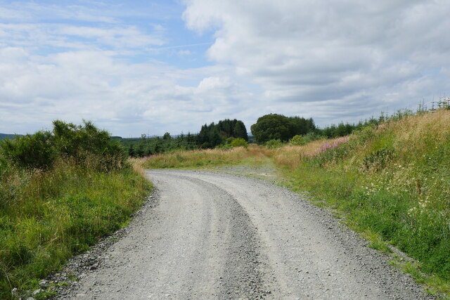
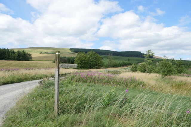
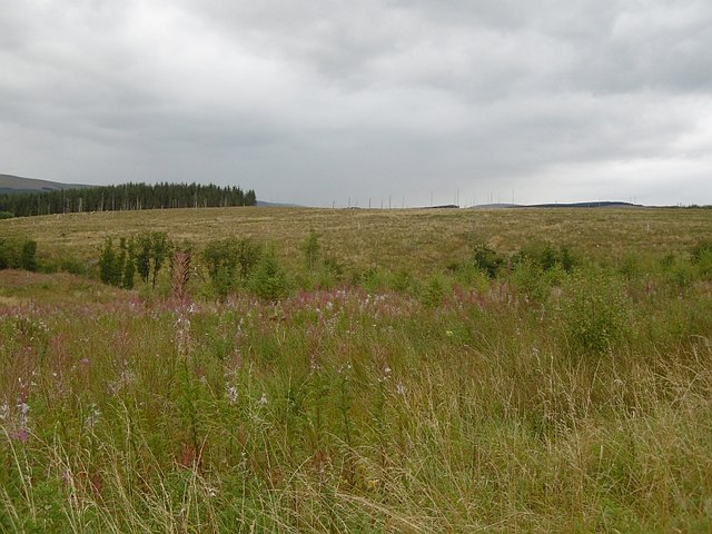
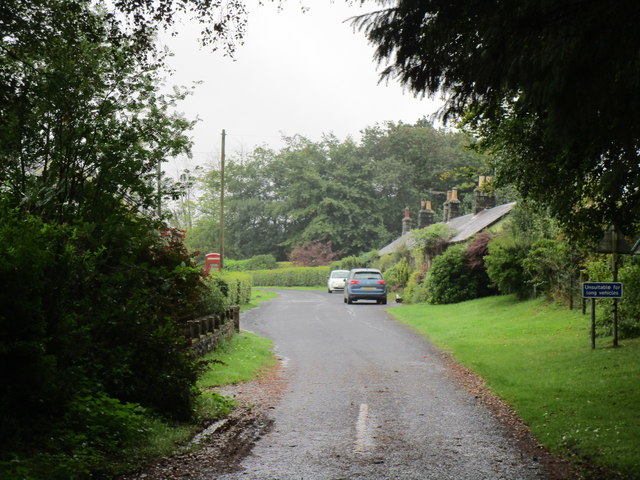
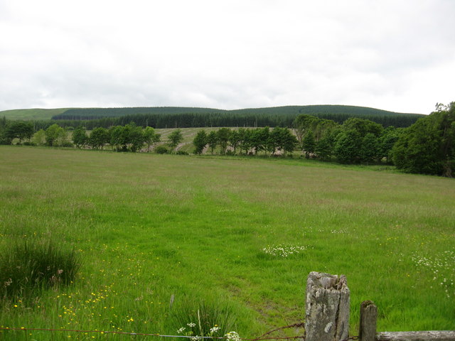
Larriston is a small village located in the historic county of Roxburghshire, Scotland. Situated in the remote and scenic Liddesdale Valley, it is nestled amidst rolling hills and picturesque countryside. Larriston falls within the Scottish Borders region, about 16 miles south of Hawick and 45 miles southeast of Edinburgh.
With a population of just over 100 residents, Larriston exudes a tranquil and close-knit community atmosphere. The village is primarily made up of traditional stone-built houses, some dating back centuries, giving it a charming and rustic feel. It is surrounded by lush farmland and offers stunning views of the surrounding hills and valleys.
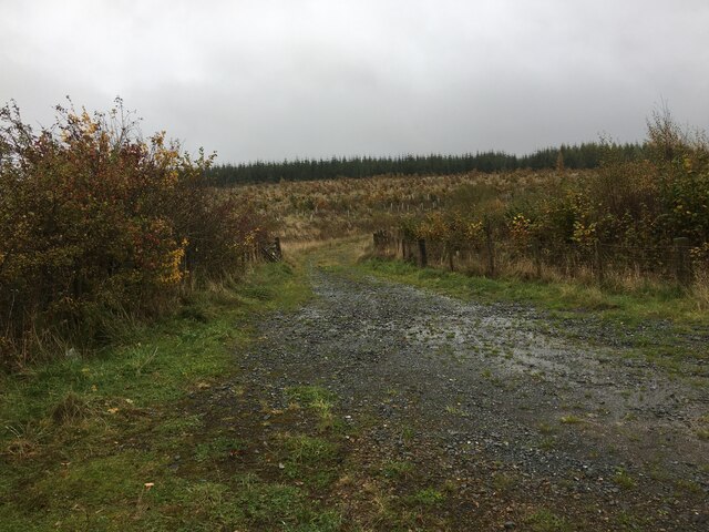
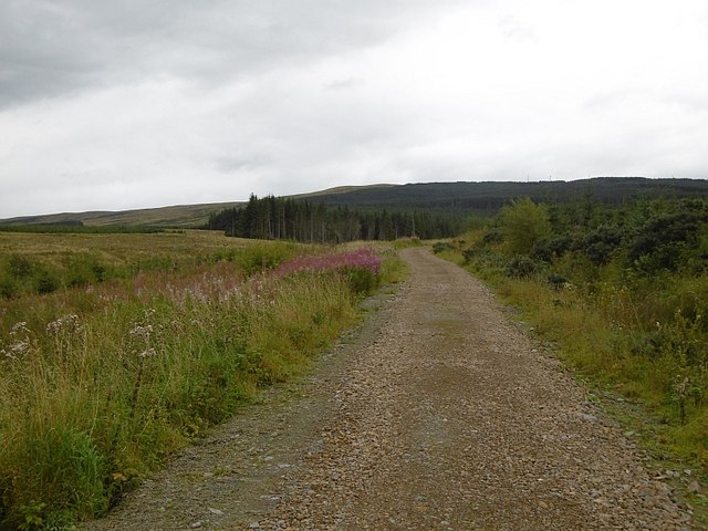
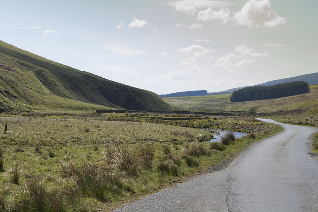
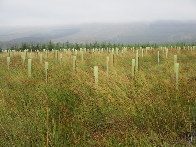
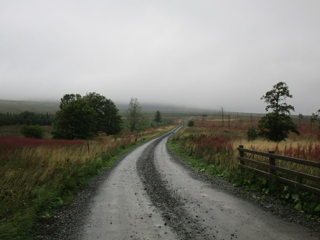
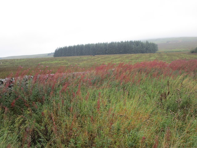
Larriston is renowned for its natural beauty and is a popular destination for outdoor enthusiasts. The village is located near the scenic Newcastleton Forest, which provides ample opportunities for hiking, mountain biking, and bird watching. The nearby Liddel Water River is also a popular spot for fishing.
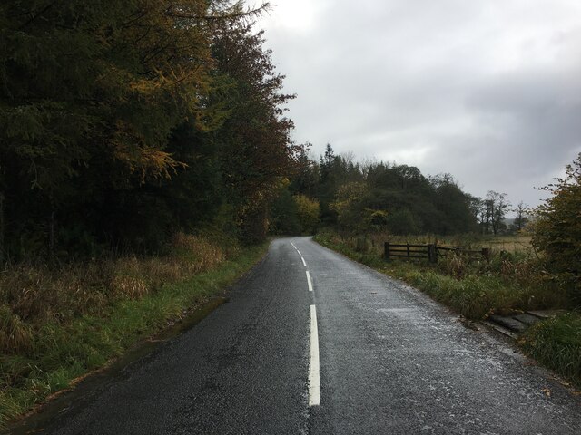
Although Larriston is a small village, it benefits from its close proximity to nearby towns and amenities. The town of Newcastleton, located just a few miles away, offers a range of services such as shops, cafes, and a primary school.
Overall, Larriston is a peaceful and picturesque village, offering a tranquil escape from the hustle and bustle of city life. It is a place where residents and visitors can enjoy the beauty of nature and experience the warmth of a close-knit community.
If you have any feedback on the listing, please let us know in the comments section below.
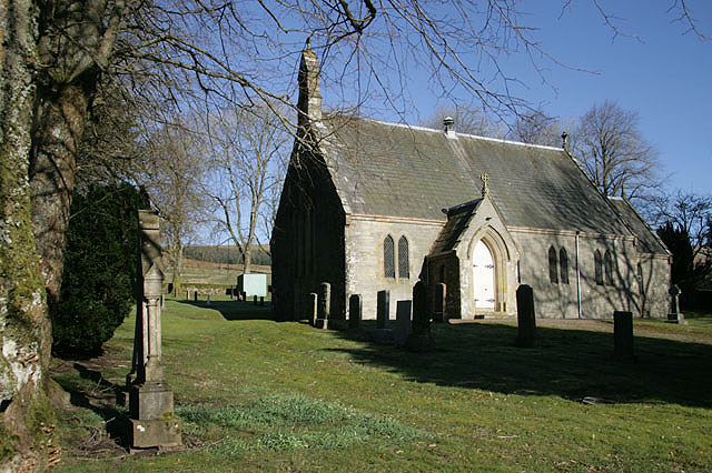
Larriston Images
Images are sourced within 2km of 55.238045/-2.7249215 or Grid Reference NY5494. Thanks to Geograph Open Source API. All images are credited.


Larriston is located at Grid Ref: NY5494 (Lat: 55.238045, Lng: -2.7249215)
Unitary Authority: The Scottish Borders
Police Authority: The Lothians and Scottish Borders
What 3 Words
///extent.famous.slider. Near Teviothead, Scottish Borders
Nearby Locations
Related Wikis

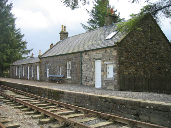
Steele Road railway station
Steele Road railway station served the hamlet of Steele Road, Scottish Borders, Scotland, from 1862 to 1969 on the Border Union Railway. == History... ==
Dinlabyre
Dinlabyre is a village on the B6357 in Liddesdale, on the edge of the Newcastleton Forest, close to Castleton, in the Scottish Borders area of Scotland...

Hermitage Water
The Hermitage Water is a river in Liddesdale, in the Scottish Borders area of Scotland. Among its many feeder burns are Braidley Burn, Dinley Burn, Gorrenberry...

Riccarton Junction railway station
Riccarton Junction, in the county of Roxburghshire in the Scottish Borders, was a railway village and station. In its heyday it had 118 residents and its...
Hermitage, Scottish Borders
Hermitage is a village near Newcastleton, on the B6399, in the Scottish Borders area of Scotland. == See also == List of places in the Scottish Borders...

Ninestane Rig
Ninestane Rig (English: Nine Stone Ridge) is a small stone circle in Scotland near the English border. Located in Roxburghshire, near to Hermitage Castle...
Saughtree
Saughtree is a hamlet in the Scottish Borders at the junction of the B6357 and an unnamed road from Kielder village in Northumberland, England. It is at...
Saughtree railway station
Saughtree railway station is a closed railway station situated a mile north of the hamlet of Saughtree and two miles from the border with England. ��2...
Nearby Amenities
Located within 500m of 55.238045,-2.7249215Have you been to Larriston?
Leave your review of Larriston below (or comments, questions and feedback).