Willis Hill
Hill, Mountain in Monmouthshire
Wales
Willis Hill
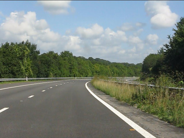
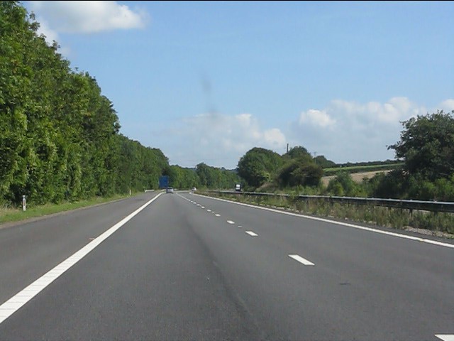
Willis Hill is a prominent hill located in Monmouthshire, a county in southeast Wales, United Kingdom. Standing at an elevation of approximately 347 meters (1,139 feet), it offers breathtaking panoramic views of the surrounding countryside and is a popular destination for outdoor enthusiasts and nature lovers.
The hill is situated near the village of Llantilio Crossenny, about 7 miles northeast of the town of Abergavenny. It is part of the stunning Brecon Beacons National Park, which is renowned for its outstanding natural beauty and diverse wildlife.
Willis Hill is characterized by its gentle slopes, covered in lush green grass and scattered with boulders and rocky outcrops. The summit is marked by a trig point, providing a reference point for navigation and offering visitors a chance to take in the stunning vistas that stretch as far as the eye can see.
The hill is accessible via a network of footpaths and trails, making it an ideal location for hiking and walking. The routes leading up to the summit vary in difficulty, catering to both experienced hikers and those seeking a more leisurely stroll in the countryside.
The surrounding area is rich in history, with ancient ruins and landmarks scattered throughout. Willis Hill itself is said to have been named after a local landowner or farmer, adding to the historical significance of the hill.
Overall, Willis Hill in Monmouthshire is a picturesque and awe-inspiring natural landmark, offering visitors the opportunity to immerse themselves in the stunning Welsh countryside and enjoy the tranquility of the Brecon Beacons National Park.
If you have any feedback on the listing, please let us know in the comments section below.
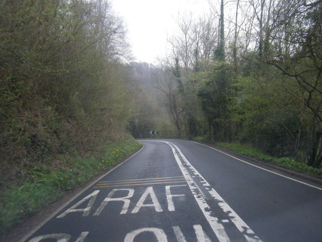
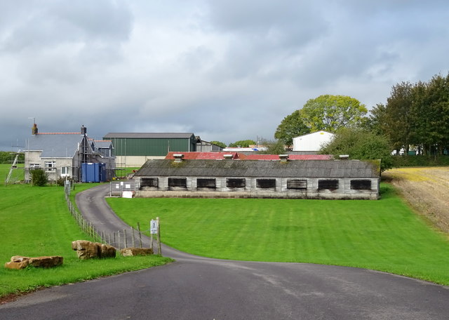
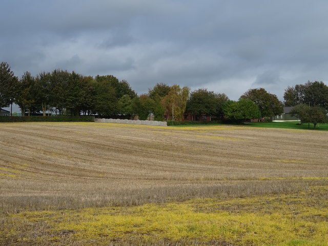
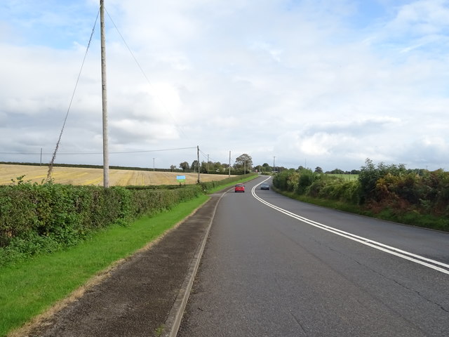
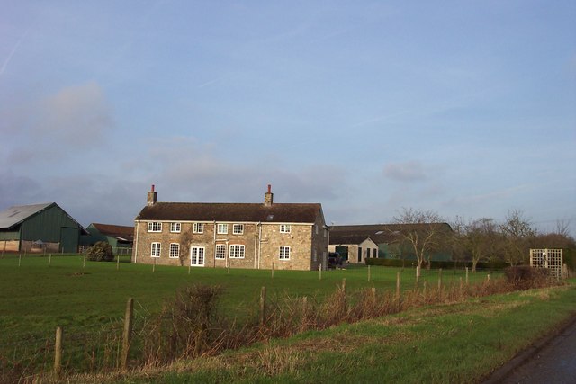
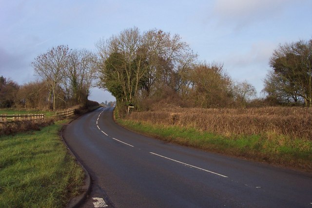
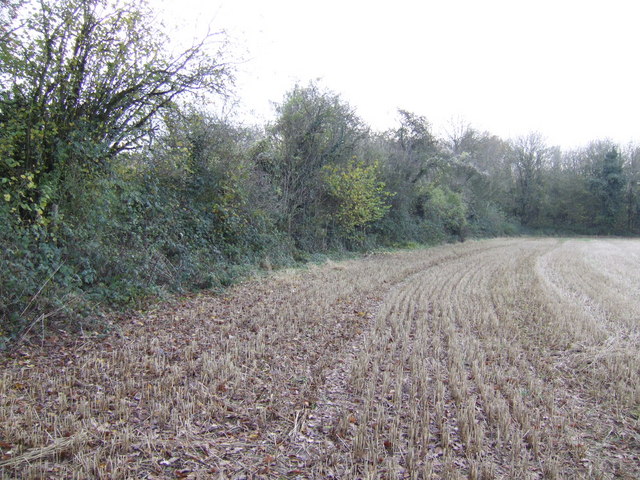
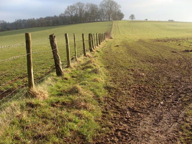
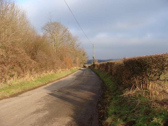
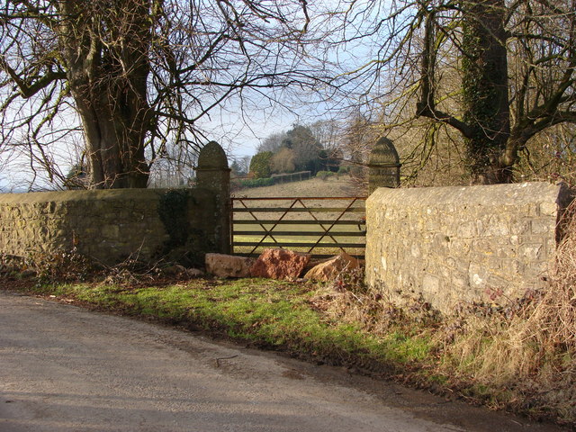
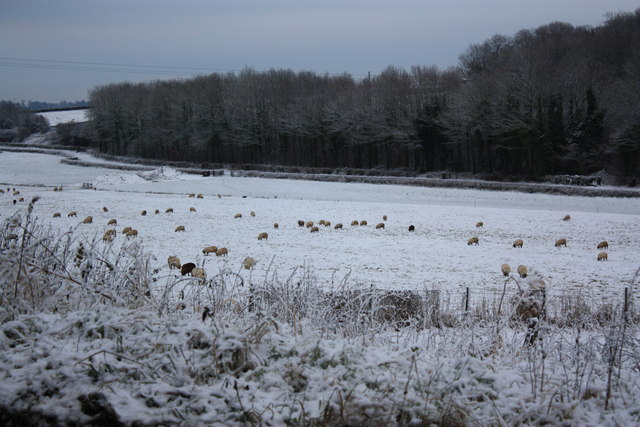
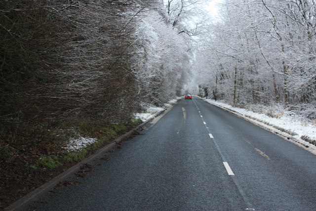
Willis Hill Images
Images are sourced within 2km of 51.626005/-2.7163925 or Grid Reference ST5092. Thanks to Geograph Open Source API. All images are credited.
Willis Hill is located at Grid Ref: ST5092 (Lat: 51.626005, Lng: -2.7163925)
Unitary Authority: Monmouthshire
Police Authority: Gwent
What 3 Words
///crucially.lizard.shadow. Near Chepstow, Monmouthshire
Nearby Locations
Related Wikis

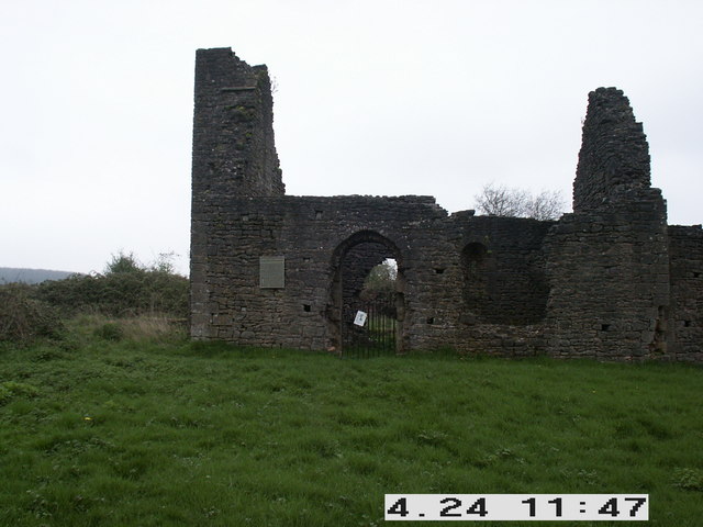
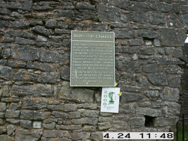
Runston Chapel
Runston Chapel, Mathern, Monmouthshire, Wales, is the ruin of a chapel dating back to the early 12th century. It is the only remaining visible remnant...

Mathern Mill
Mathern Mill, Mathern, Monmouthshire is a watermill dating from either the late 18th or early 19th centuries. It continued in use as a functioning mill...

Pwllmeyric
Pwllmeyric (Welsh: Pwllmeurig) is a small village in Monmouthshire, Wales, located 1 mile south west of Chepstow, on the A48 road within the parish of...

Mounton
Mounton is a hamlet in Monmouthshire, south east Wales, United Kingdom, located two miles west of Chepstow in a rural setting. The parish was originally...
Mounton House
Mounton House, Mounton, Monmouthshire, Wales, is the last major country house built in the county, constructed between 1910 and 1912 by the architect and...

Wyelands
Wyelands, sometimes styled The Wyelands or Wyelands House, is a Grade II* listed building and estate located about 1 mile (1.6 km) north of the village...

St Pierre, Monmouthshire
St Pierre is a former parish and hamlet in Monmouthshire, south east Wales, 3 miles (4.8 km) south west of Chepstow and adjacent to the Severn Estuary...
St Pierre Hotel Gatehouse
The Gatehouse and attached range, at the St Pierre Hotel, St Pierre, Mathern, Monmouthshire are the most significant remains of the mansion built by the...
Nearby Amenities
Located within 500m of 51.626005,-2.7163925Have you been to Willis Hill?
Leave your review of Willis Hill below (or comments, questions and feedback).