Hill End

Hill, Mountain in Shropshire

England

Hill End

The Plough Inn at Wall under Heywood
The Plough Inn at Wall under Heywood Credit: Ian S

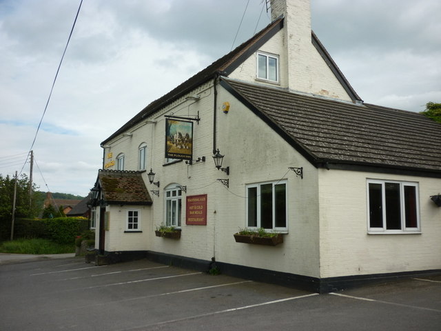
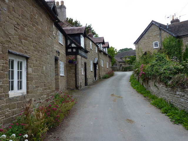
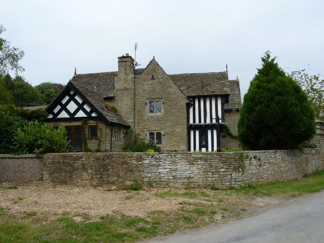
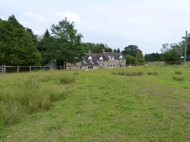
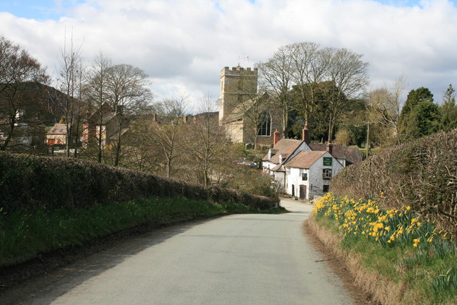
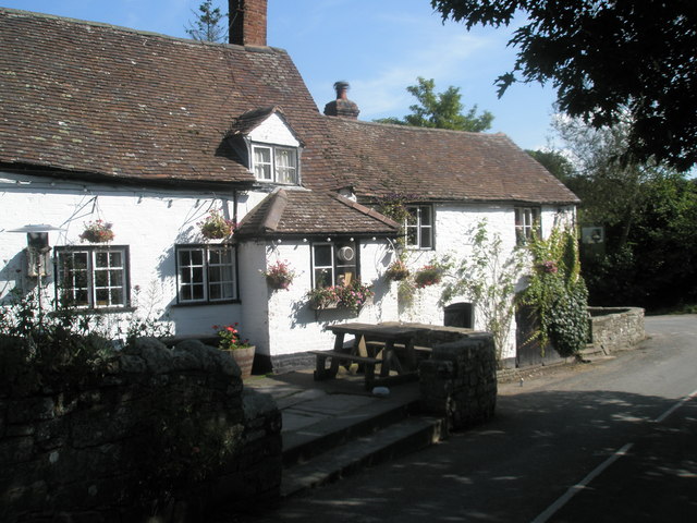
Hill End is a picturesque village located in the county of Shropshire, England. As its name suggests, Hill End sits atop a hill, offering stunning views of the surrounding countryside. The village is characterized by its charming stone cottages, narrow winding streets, and traditional English pubs.

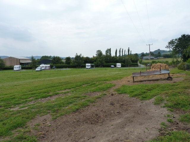
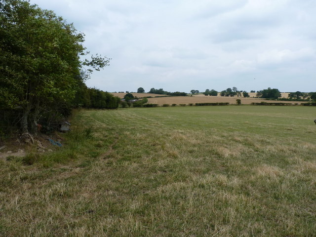
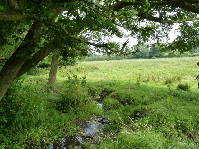
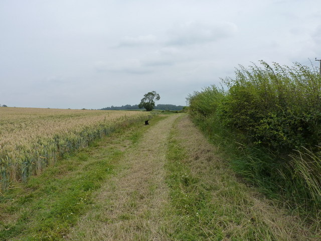
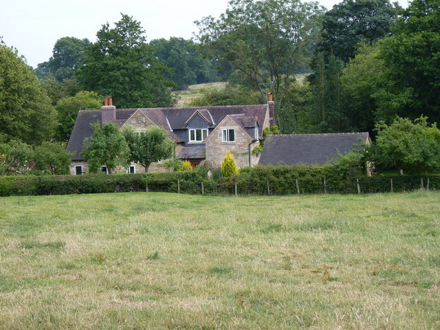
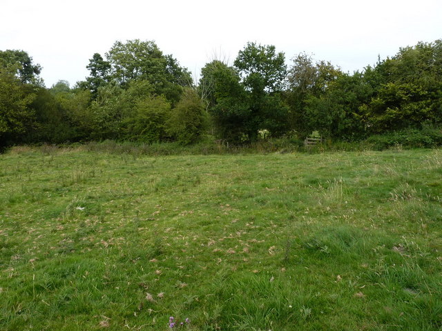
Hill End is a popular destination for hikers and nature enthusiasts, as it is surrounded by beautiful countryside and walking trails. The nearby Shropshire Hills Area of Outstanding Natural Beauty provides ample opportunities for outdoor activities such as hiking, mountain biking, and birdwatching.

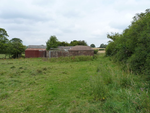
The village has a rich history, with evidence of human settlement dating back to the Iron Age. Hill End is also known for its connection to the industrial revolution, with several former mining sites and quarries in the area.

Today, Hill End is a peaceful and idyllic village, offering a tranquil retreat for visitors looking to escape the hustle and bustle of city life. Its quaint charm and natural beauty make it a must-visit destination in Shropshire.

If you have any feedback on the listing, please let us know in the comments section below.

Hill End Images

Images are sourced within 2km of 52.544873/-2.7314712 or Grid Reference SO5094. Thanks to Geograph Open Source API. All images are credited.

The Plough Inn at Wall under Heywood
Caravan site at Upper Farm
The path back to Leyhill A footpath across sheep fields, leading back to Leyhill Farm
The path back to Leyhill
A footpath across sheep fields, leading back to Leyhill Farm
The very infant Heath Brook Rising to the west of Cardington, the brook heads southwards to the Lakehouse Brook at Rushbury
The very infant Heath Brook
Rising to the west of Cardington, the brook heads southwards to the Lakehouse Brook at Rushbury
Footpath towards Plaish A public footpath following a widened headland under Stewardship and an Access agreement which has opened a number of other permissive paths on the farm.
Footpath towards Plaish
A public footpath following a widened headland under Stewardship and an Access agreement which has opened a number of other permissive paths on the farm.
Ramshackle field barns near Cardington Apparently abandoned, although one of them houses a rusting piece of machinery, the barns are a combination of stone and corrugated steel.
Ramshackle field barns near Cardington
Apparently abandoned, although one of them houses a rusting piece of machinery, the barns are a combination of stone and corrugated steel.
The interior of St James' church, Cardington Particularly taken with the roof and the beams in this Grade I listed church.
The interior of St James' church, Cardington
Particularly taken with the roof and the beams in this Grade I listed church.
Benchmark on the church in Cardington
The parish church of St James, Cardington
Cottages in Cardington
Brook House, Cardington One of the most striking properties in the village; the main part of the house dates from 1574.
Brook House, Cardington
One of the most striking properties in the village; the main part of the house dates from 1574.
Waterloo cottage A large country property, on the lane from Cardington to Wall under Heywood
Waterloo cottage
A large country property, on the lane from Cardington to Wall under Heywood
Footpath and stile south of Cardington
Mill Farm, Cardington A small farm just SE of Cardington; we were surprised to see a dipper fly off up the stream beside the farm - not often seen around here.
Mill Farm, Cardington
A small farm just SE of Cardington; we were surprised to see a dipper fly off up the stream beside the farm - not often seen around here.
Cardington, Shropshire Looking down the country lane towards the pub and church in Cardington, Shropshire.
Cardington, Shropshire
Looking down the country lane towards the pub and church in Cardington, Shropshire.
Rush Hour, Gretton A first look out for the new lambs, Gretton, Shropshire.
Rush Hour, Gretton
A first look out for the new lambs, Gretton, Shropshire.
Benchmark - north side of Heath Bridge This benchmark is cut into the stonework on the northern parapet of the bridge over the Heath Brook.
Benchmark - north side of Heath Bridge
This benchmark is cut into the stonework on the northern parapet of the bridge over the Heath Brook.
Sharpstones
Sharpstones
Show me another place!

Hill End is located at Grid Ref: SO5094 (Lat: 52.544873, Lng: -2.7314712)

Unitary Authority: Shropshire

Police Authority: West Mercia

What 3 Words

///snuck.stunning.civic. Near Cardington, Shropshire

Nearby Locations

Hill End

Related Wikis

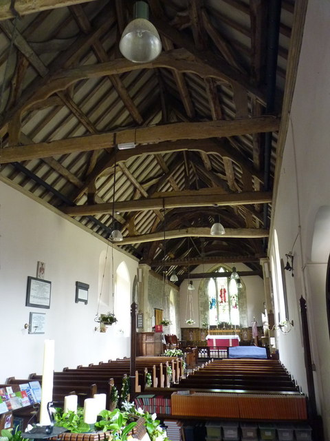
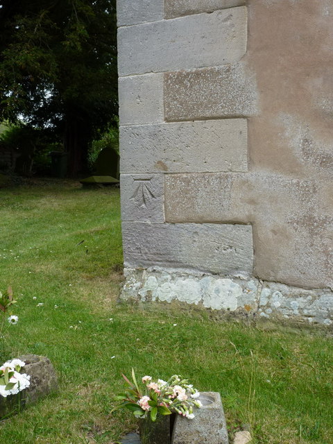
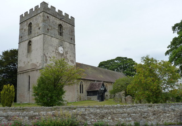
St James' Church, Cardington

St James' Church stands in an elevated position in the village of Cardington, Shropshire, England. It is an active Anglican parish church in the deanery...

Cardington, Shropshire

Cardington is a village and civil parish in Shropshire, England. It is situated south of Shrewsbury, near Caer Caradoc Hill, and the nearest town is Church...
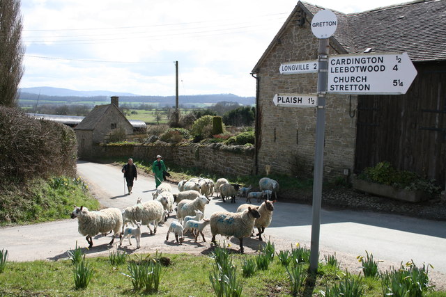
Gretton, Shropshire

Gretton is a hamlet in the civil parish of Cardington, in the Shropshire district, in the ceremonial county of Shropshire. It lies immediately to the east...

Shropshire Hills

The Shropshire Hills are a dissected upland area and one of the natural regions of England. They lie wholly within the county of Shropshire and encompass...

Nearby Amenities

Located within 500m of 52.544873,-2.7314712
Building: yes
Lat/Long: 52.5439471/-2.7293528
Place: farm
Lat/Long: 52.5472094/-2.7337731
Sharpstones
Natural: rock
Lat/Long: 52.5433775/-2.7360575
Hill End
Ele: 280
Natural: peak
Lat/Long: 52.5448667/-2.7320772
The data included in this document is from www.openstreetmap.org. The data is made available under ODbL.

Have you been to Hill End?

Leave your review of Hill End below (or comments, questions and feedback).