Naddle Horseshoe End
Hill, Mountain in Westmorland Eden
England
Naddle Horseshoe End
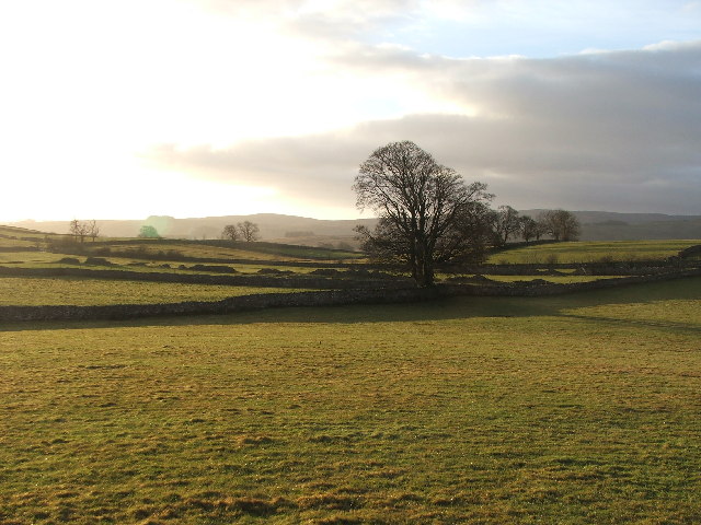
Naddle Horseshoe End is a prominent hill/mountain located in the Westmorland region of England. Situated in the Lake District National Park, it forms part of a horseshoe-shaped ridge, offering stunning panoramic views of the surrounding landscape.
With its peak standing at an elevation of approximately 590 meters (1,936 feet), Naddle Horseshoe End attracts hikers, nature enthusiasts, and mountaineers alike. Its strategic location makes it a popular destination for those seeking a challenging climb or a peaceful walk in the countryside.
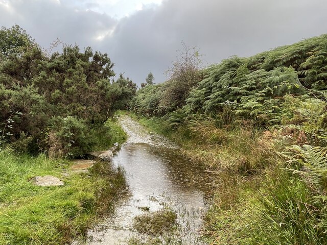
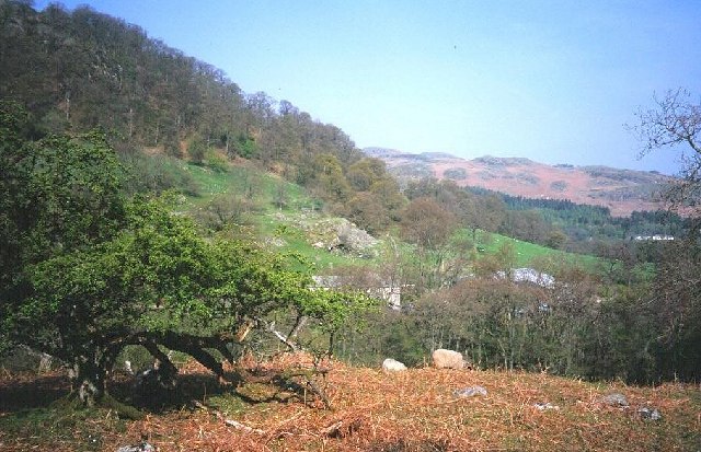
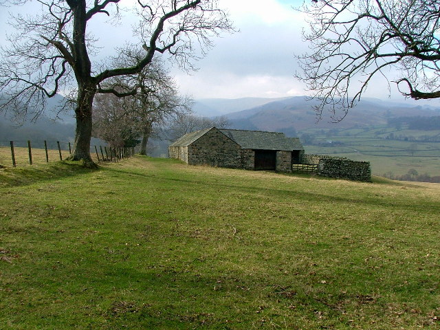
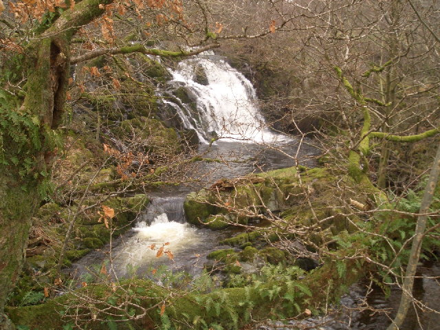
The terrain of Naddle Horseshoe End is characterized by a mixture of grassy slopes, rocky outcrops, and occasional scree slopes, creating a diverse and picturesque landscape. The hill/mountain is home to various species of flora and fauna, including heather, bilberry, and a range of bird species, making it an ideal spot for nature lovers.
The ascent to Naddle Horseshoe End can be approached from several directions, with many hikers opting to start from the nearby village of Staveley. The route offers a variety of paths, ranging from steep inclines to more gradual ascents, providing options for all levels of fitness and experience. Along the way, hikers may encounter babbling streams, charming stone walls, and breathtaking views of the Lake District countryside.
Once at the summit, visitors are rewarded with a magnificent panorama of the surrounding fells and valleys. On clear days, it is possible to see as far as the Scottish border, the Pennines, and the Irish Sea, making Naddle Horseshoe End a truly awe-inspiring vantage point.
Overall, Naddle Horseshoe End is a captivating hill/mountain that offers a challenging yet rewarding outdoor experience, showcasing the natural beauty of the Westmorland region and the Lake District National Park.
If you have any feedback on the listing, please let us know in the comments section below.
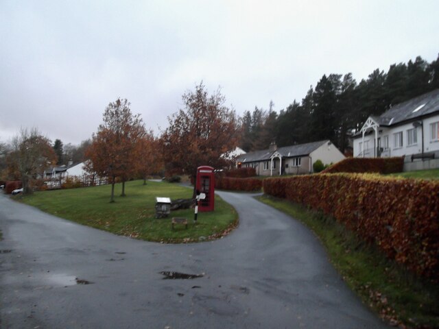
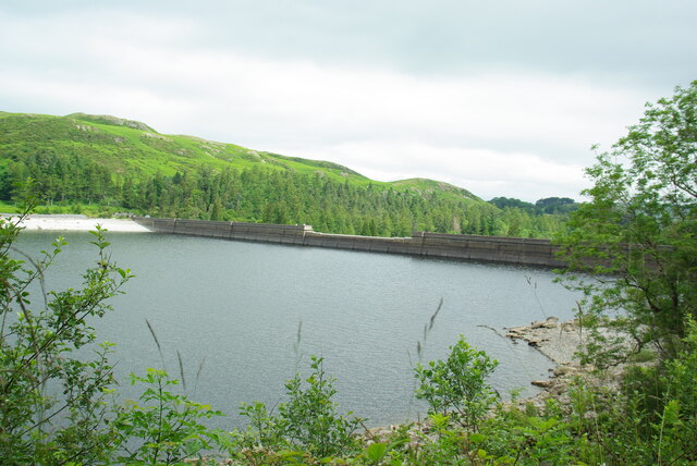
Naddle Horseshoe End Images
Images are sourced within 2km of 54.52992/-2.7659503 or Grid Reference NY5015. Thanks to Geograph Open Source API. All images are credited.


Naddle Horseshoe End is located at Grid Ref: NY5015 (Lat: 54.52992, Lng: -2.7659503)
Administrative County: Cumbria
District: Eden
Police Authority: Cumbria
What 3 Words
///recur.detained.sprint. Near Shap, Cumbria
Nearby Locations
Related Wikis

Naddle Horseshoe
The Naddle Horseshoe is a group of summits in the English Lake District, south of Mardale valley, Cumbria. It is the subject of a chapter of Wainwright...

Bomby
Bomby is a village in Cumbria, England. Bomby village consists only of one farm house. The farm is mostly known for its specific potatoes, the Kind Edward...

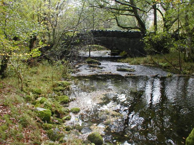
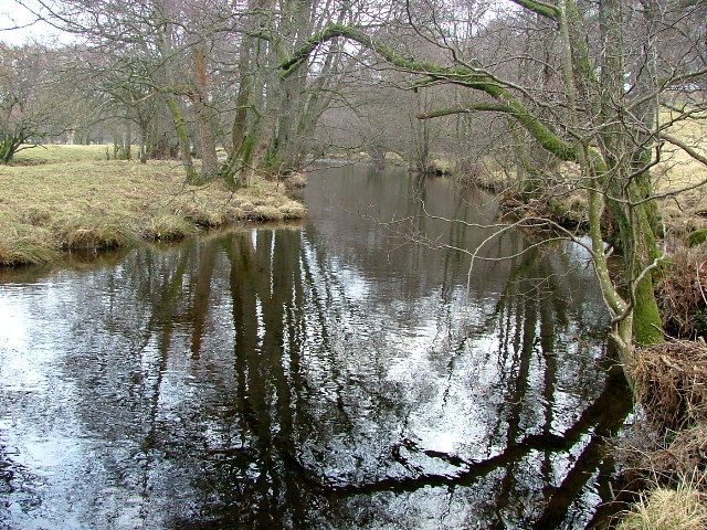
Swindale Beck
Swindale Beck is a stream in Cumbria, England. It is formed at Swindale Head where Mosedale Beck, from the slopes of Tarn Crag, joins Hobgrumble Beck from...

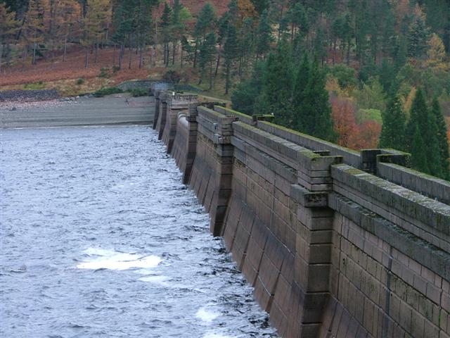
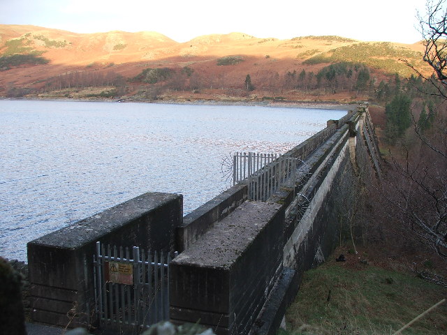
Haweswater Reservoir
Haweswater is a reservoir in the valley of Mardale, Cumbria in the Lake District, England. Work to raise the height of the original natural lake was started...

Bampton Grange
Bampton Grange is a village in Cumbria, England. Haweswater Beck arises as a stream discharge from Haweswater Reservoir and flows eastward, just north...

Bampton, Cumbria
Bampton is a village and civil parish in the Westmorland and Furness unitary authority area of Cumbria, England, on the edge of the Lake District National...

Haweswater Beck
Haweswater Beck flows through Cumbria in England. It arises as a stream discharge from Haweswater Reservoir, at Gill Dubs, just east of the dam, and flows...

Mosedale Beck (Swindale)
Mosedale Beck is a stream in Cumbria, England, which runs between Tarn Crag and Branstree, flowing north to join Swindale Beck at Swindale Head; Swindale...
Nearby Amenities
Located within 500m of 54.52992,-2.7659503Have you been to Naddle Horseshoe End?
Leave your review of Naddle Horseshoe End below (or comments, questions and feedback).