St Pierre's Great Woods
Wood, Forest in Monmouthshire
Wales
St Pierre's Great Woods
St Pierre's Great Woods is a captivating woodland area located in Monmouthshire, Wales. Spanning over a vast expanse, it is a testament to the beauty and diversity of nature. The woodland is situated near the village of St Pierre, nestled between the towns of Chepstow and Caldicot.
This enchanting forest boasts a rich history, dating back centuries. It was once part of the magnificent St Pierre Estate, which belonged to the Morgan family. Today, the woodland is privately owned and managed, ensuring its preservation and protection for generations to come.
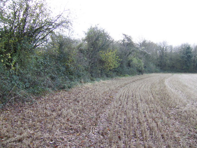
St Pierre's Great Woods is characterized by its impressive variety of trees, including oak, ash, beech, and birch. The forest floor is adorned with a tapestry of vibrant wildflowers, creating a picturesque and tranquil atmosphere. It is a haven for wildlife, with squirrels, rabbits, and an array of bird species calling it their home.
Visitors to St Pierre's Great Woods can indulge in a range of outdoor activities. There are well-maintained trails that wind through the forest, providing opportunities for peaceful walks, hiking, and cycling. The serene surroundings also make it an ideal spot for picnics and nature appreciation.
The woodland is an important ecological site, playing a crucial role in the local ecosystem. Efforts have been made to conserve the natural habitat and protect the delicate balance of flora and fauna within.
St Pierre's Great Woods is a hidden gem, inviting nature lovers and adventure seekers to immerse themselves in its beauty and tranquility. It offers a unique opportunity to escape the hustle and bustle of everyday life and reconnect with the wonders of the natural world.
If you have any feedback on the listing, please let us know in the comments section below.
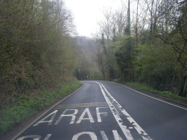
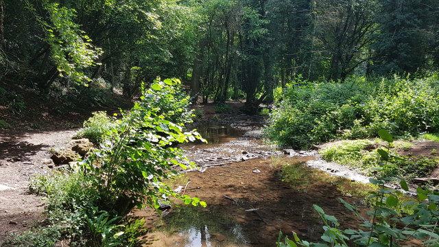
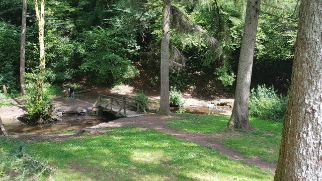
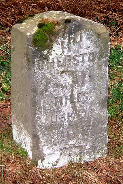
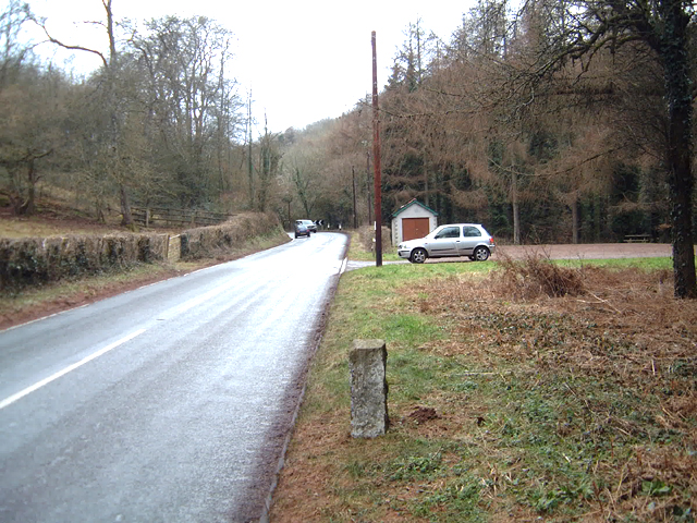
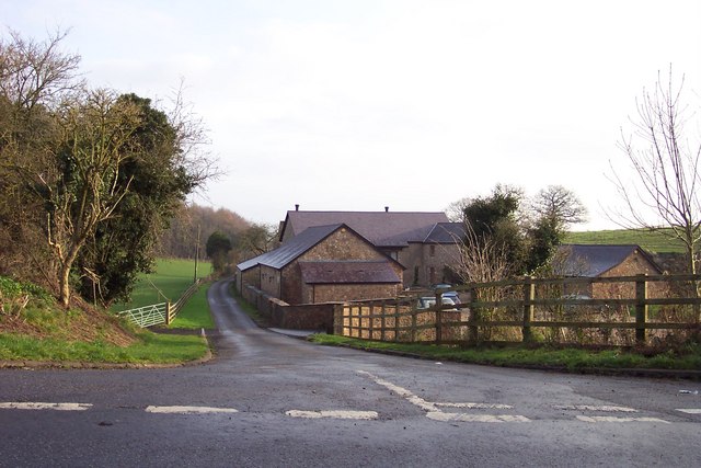
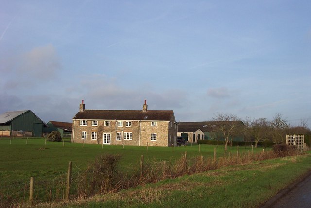
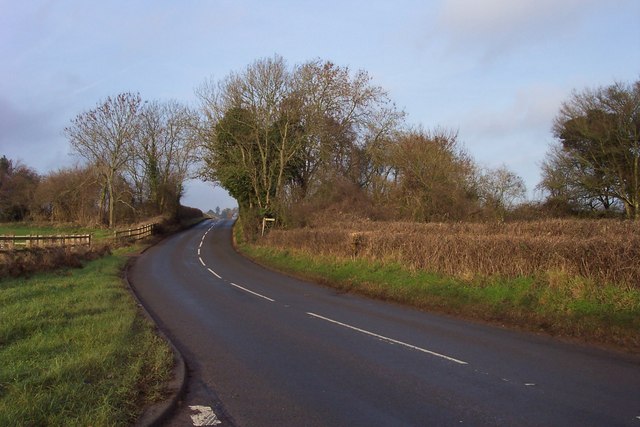
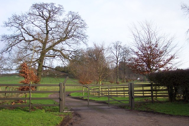
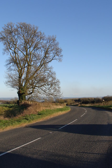
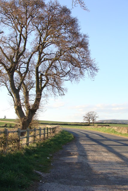
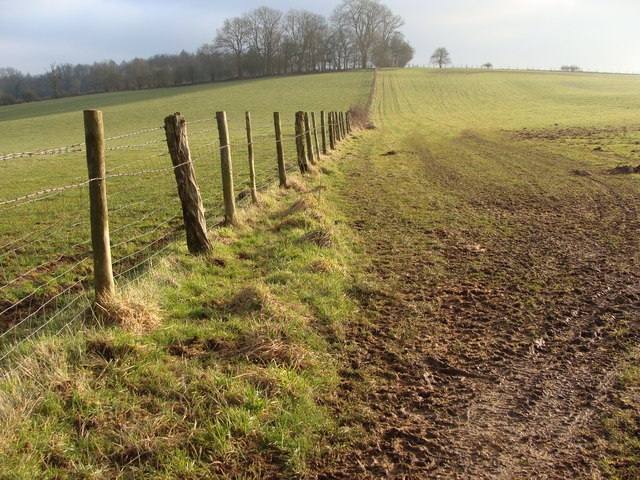
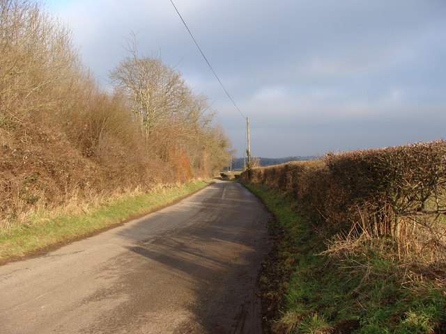
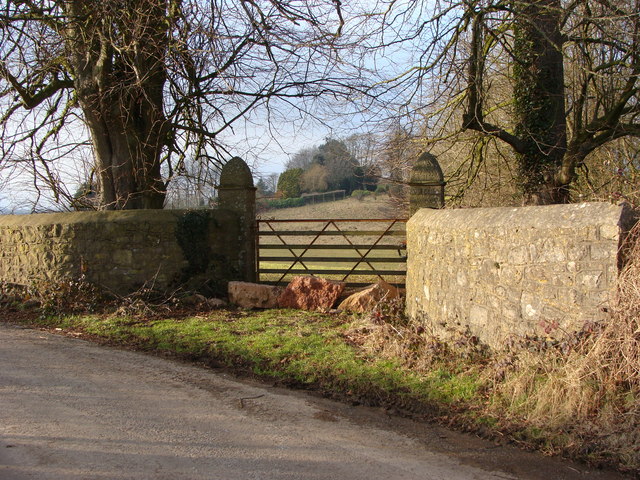
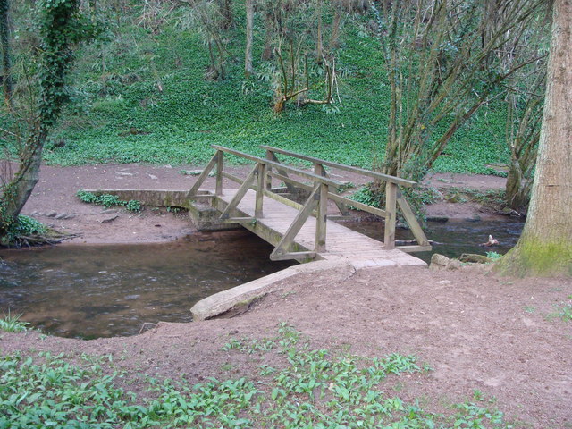
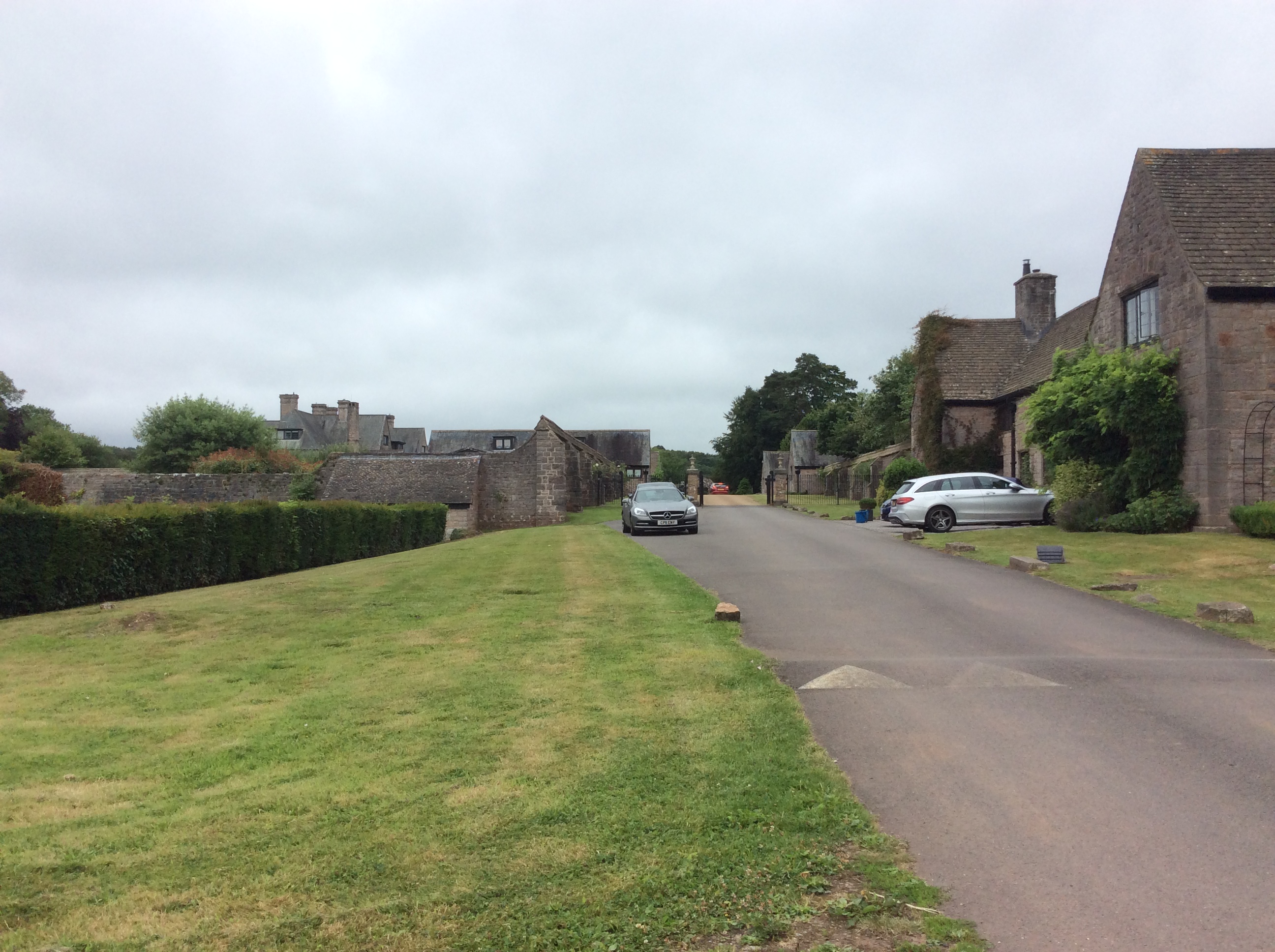
St Pierre's Great Woods Images
Images are sourced within 2km of 51.629861/-2.7210475 or Grid Reference ST5092. Thanks to Geograph Open Source API. All images are credited.
St Pierre's Great Woods is located at Grid Ref: ST5092 (Lat: 51.629861, Lng: -2.7210475)
Unitary Authority: Monmouthshire
Police Authority: Gwent
What 3 Words
///helpful.mega.raven. Near Chepstow, Monmouthshire
Nearby Locations
Related Wikis

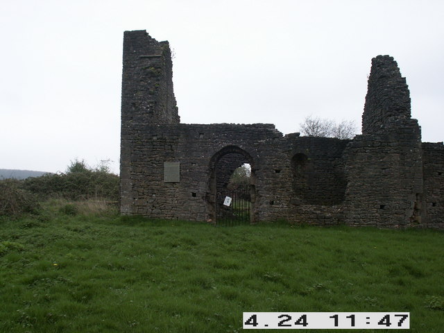
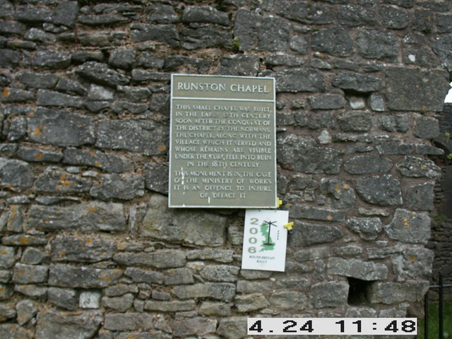
Runston Chapel
Runston Chapel, Mathern, Monmouthshire, Wales, is the ruin of a chapel dating back to the early 12th century. It is the only remaining visible remnant...

Mounton
Mounton is a hamlet in Monmouthshire, south east Wales, United Kingdom, located two miles west of Chepstow in a rural setting. The parish was originally...
Mounton House
Mounton House, Mounton, Monmouthshire, Wales, is the last major country house built in the county, constructed between 1910 and 1912 by the architect and...

Mathern Mill
Mathern Mill, Mathern, Monmouthshire is a watermill dating from either the late 18th or early 19th centuries. It continued in use as a functioning mill...

Pwllmeyric
Pwllmeyric (Welsh: Pwllmeurig) is a small village in Monmouthshire, Wales, located 1 mile south west of Chepstow, on the A48 road within the parish of...

Shirenewton Hall
Shirenewton Hall, originally Shirenewton Court, is a country house and estate adjoining the village of Shirenewton, Monmouthshire, Wales, about 3 miles...

Wyelands
Wyelands, sometimes styled The Wyelands or Wyelands House, is a Grade II* listed building and estate located about 1 mile (1.6 km) north of the village...
St Lawrence Hospital, Chepstow
St Lawrence Hospital (Welsh: Ysbyty St Lawrence) was a specialist plastic surgery and burns hospital on the west side of St Lawrence Road in Chepstow,...
Nearby Amenities
Located within 500m of 51.629861,-2.7210475Have you been to St Pierre's Great Woods?
Leave your review of St Pierre's Great Woods below (or comments, questions and feedback).