Aika Hill

Hill, Mountain in Westmorland Eden

England

Aika Hill

Burnbanks village The telephone box contains a phone...something of a rarity these days
Burnbanks village Credit: David Brown

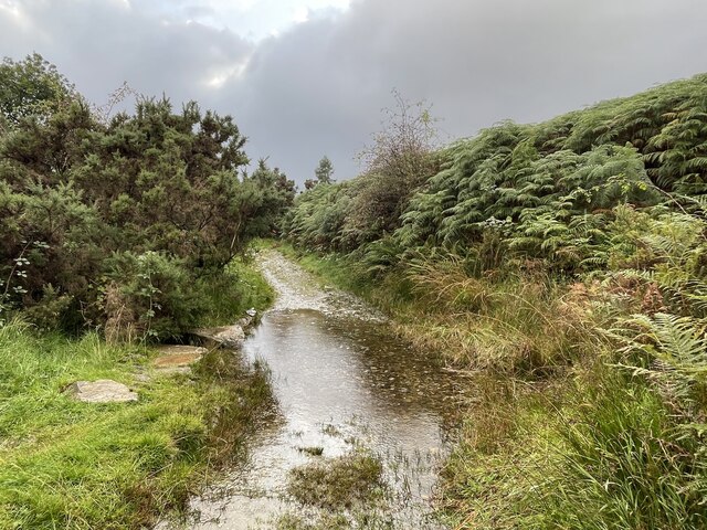
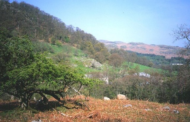
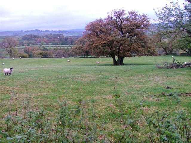
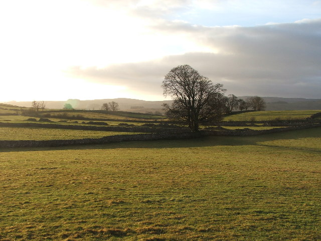
Aika Hill, located in Westmorland, is a prominent hill/mountain in the region. Standing at an elevation of approximately 1,500 feet, it offers stunning panoramic views of the surrounding landscape. Aika Hill is situated in a rural area, characterized by rolling hills, lush green meadows, and dense forests, making it a popular destination for nature enthusiasts and hikers.

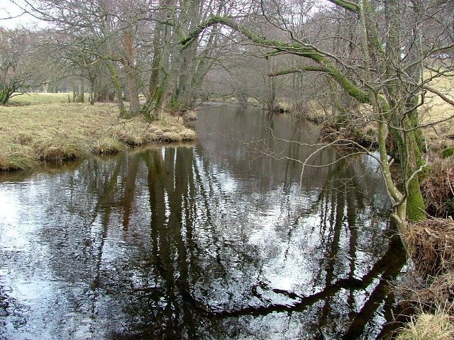
The hill is known for its diverse flora and fauna, with a variety of plant species, including wildflowers, ferns, and mosses, adorning its slopes. It is also home to various animal species, such as deer, rabbits, and a wide variety of birdlife, attracting wildlife enthusiasts and birdwatchers.

Aika Hill boasts several well-maintained hiking trails, providing visitors with the opportunity to explore and appreciate its natural beauty. These trails cater to all levels of hikers, from beginners to experienced individuals seeking more challenging routes. The hill's summit offers breathtaking views of the surrounding countryside, making it a perfect spot for photographers and nature lovers alike.

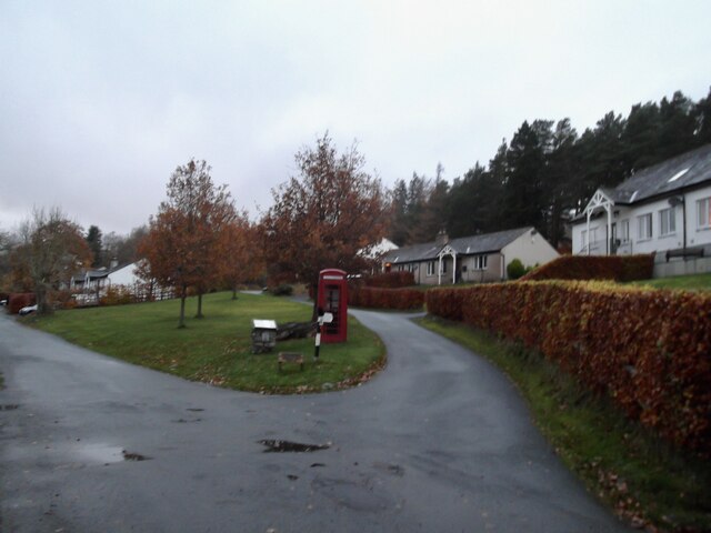
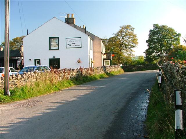
On the western side of Aika Hill, there is a small picturesque village that adds to the charm of the area. The village is known for its friendly locals, quaint cottages, and traditional architecture, offering visitors a glimpse into the local culture and way of life.

Overall, Aika Hill in Westmorland is a captivating natural landmark, offering a serene and immersive experience for those seeking to reconnect with nature and enjoy the beauty of the countryside.

If you have any feedback on the listing, please let us know in the comments section below.
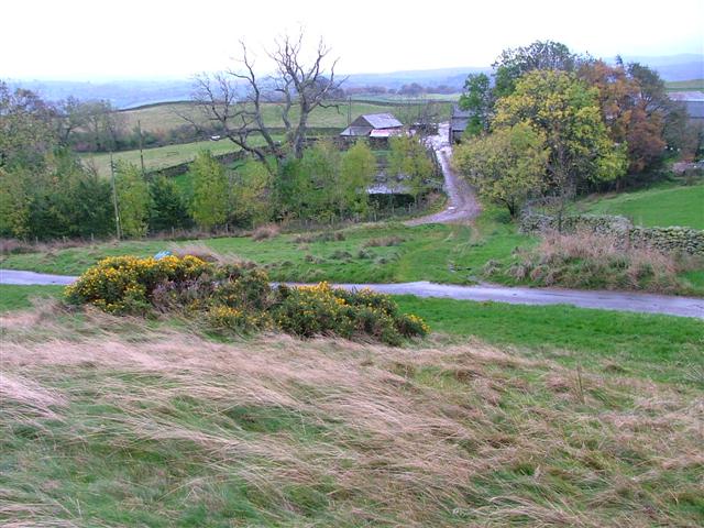
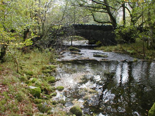
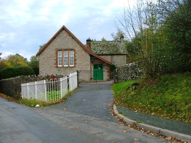
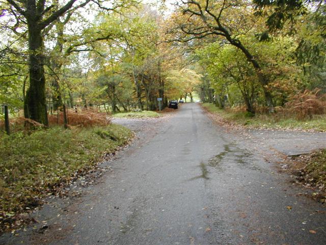
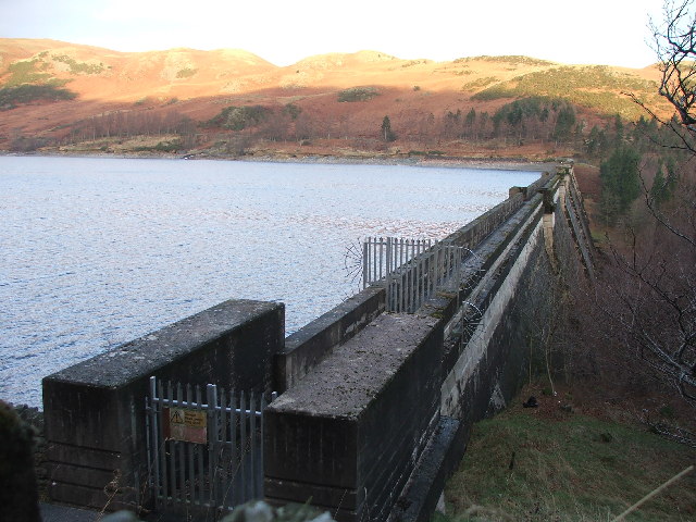
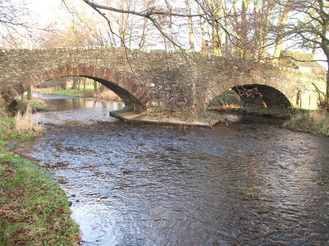
Aika Hill Images

Images are sourced within 2km of 54.544079/-2.7722597 or Grid Reference NY5016. Thanks to Geograph Open Source API. All images are credited.

Burnbanks village The telephone box contains a phone...something of a rarity these days
Burnbanks village
The telephone box contains a phone...something of a rarity these days
Haweswater Dam Wall
Haweswater Dam Wall
Telephone Box from Withnail and I, Bampton A place of pilgrimage for fans of the film.
Telephone Box from Withnail and I, Bampton
A place of pilgrimage for fans of the film.
Cawdale Beck Ford This ford on the Cawdale Beck is found on the track below Moorahill Farm.
Cawdale Beck Ford
This ford on the Cawdale Beck is found on the track below Moorahill Farm.
Burnbanks Ford This ford is found on the track on the north bank of Haweswater Reservoir.
Burnbanks Ford
This ford is found on the track on the north bank of Haweswater Reservoir.
Above Naddle Farm Scrub woodland on the bridleway over to Swindale.
Above Naddle Farm
Scrub woodland on the bridleway over to Swindale.
Haweswater Dam Built by Manchester Corporation between 1929 and 1941. It raised the surface of Haweswater by 96 feet increasing its capacity to 18,660 million gallons. The dam is of hollow concrete buttress construction which was quite innovative in its day. The method was cheaper and lower maintenance. Any movement of the dam is monitored inside by a giant plumb bob which has only deflected one twentieth of an inch since the dam's construction.
Haweswater Dam
Built by Manchester Corporation between 1929 and 1941. It raised the surface of Haweswater by 96 feet increasing its capacity to 18,660 million gallons. The dam is of hollow concrete buttress construction which was quite innovative in its day. The method was cheaper and lower maintenance. Any movement of the dam is monitored inside by a giant plumb bob which has only deflected one twentieth of an inch since the dam's construction.
Burnbanks A village of concrete houses built for the construction workers of the dam. These are now being renovated for sale to local people.
Burnbanks
A village of concrete houses built for the construction workers of the dam. These are now being renovated for sale to local people.
Farm Road to Hullockhowe
Naddle Bridge Viewed from upstream only the new one can be seen.
Naddle Bridge
Viewed from upstream only the new one can be seen.
Bampton Endowed School In 1999 the school had 21 pupils.
Bampton Endowed School
In 1999 the school had 21 pupils.
Bampton Village Store and Post Office
Burnbanks Wood View north along the Haweswater road towards Naddle Bridge. The area is well known for its red squirrels. I saw several but none were prepared to pose.
Burnbanks Wood
View north along the Haweswater road towards Naddle Bridge. The area is well known for its red squirrels. I saw several but none were prepared to pose.
Fields Below Low Hullockhowe Looking north east from below Low Hullockhowe across the Lowther valley.
Fields Below Low Hullockhowe
Looking north east from below Low Hullockhowe across the Lowther valley.
Haweswater Dam.
Haweswater Dam.
Bridge over Haweswater Beck at Greengate. Looking NW.
Bridge over Haweswater Beck at Greengate.
Looking NW.
Farmland near Walmgate. Slightly SE of Walmgate.
Farmland near Walmgate.
Slightly SE of Walmgate.
Haweswater Beck Looking downstream. As I was going to take this photo I came across an otter on the bank and then in the beck. Unfortunately it can't be seen in this photo (or any other) as it was too quick for me.
Haweswater Beck
Looking downstream. As I was going to take this photo I came across an otter on the bank and then in the beck. Unfortunately it can't be seen in this photo (or any other) as it was too quick for me.
Show me another place!

Aika Hill is located at Grid Ref: NY5016 (Lat: 54.544079, Lng: -2.7722597)

Administrative County: Cumbria

District: Eden

Police Authority: Cumbria

What 3 Words

///requested.talkative.puppy. Near Shap, Cumbria

Nearby Locations

Littlewater Tarn Aika Hill

Related Wikis

Naddle Horseshoe

The Naddle Horseshoe is a group of summits in the English Lake District, south of Mardale valley, Cumbria. It is the subject of a chapter of Wainwright...

Bampton, Cumbria

Bampton is a village and civil parish in the Eden District of Cumbria, England, on the edge of the Lake District National Park. It is in the historic...

Bomby

Bomby is a village in Cumbria, England. Bomby village consists only of one farm house. The farm is mostly known for its specific potatoes, the Kind Edward...

Bampton Grange

Bampton Grange is a village in Cumbria, England. Haweswater Beck arises as a stream discharge from Haweswater Reservoir and flows eastward, just north...
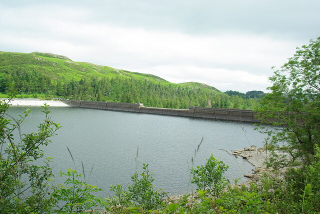
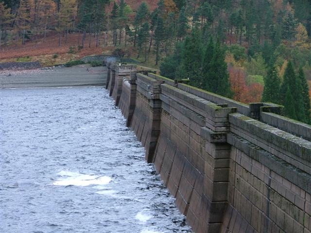
Haweswater Beck

Haweswater Beck flows through Cumbria in England. It arises as a stream discharge from Haweswater Reservoir, at Gill Dubs, just east of the dam, and flows...

West Ward Rural District

West Ward was a rural district of the administrative county of Westmorland. The area was directly based on the former West Ward rural sanitary district...

Butterwick, Cumbria

Butterwick is a hamlet in Cumbria, England, near the village of Helton. == Location grid ==

Knipescar Common

Knipescar Common, or Knipe Scar, is an upland area in the east of the English Lake District, above the River Lowther, near Bampton, Cumbria. It is the...

Nearby Amenities

Located within 500m of 54.544079,-2.7722597
Barrier: cattle_grid
Source: survey
Lat/Long: 54.5474135/-2.7723302
Pinnacle Howe
Ele: 381
Natural: peak
Lat/Long: 54.5434521/-2.7786519
Aika Hill
Ele: 340
Natural: peak
Lat/Long: 54.5441117/-2.7720679
Drybarrows
Place: locality
Lat/Long: 54.5447918/-2.7768954
Barrier: stile
Lat/Long: 54.5463786/-2.7704396
Ford: yes
Lat/Long: 54.5435389/-2.774694
Information: route_marker
Tourism: information
Lat/Long: 54.5448318/-2.7747337
Footpath
Information: sign
Tourism: information
Lat/Long: 54.5448099/-2.7749536
Information: route_marker
Tourism: information
Lat/Long: 54.5452721/-2.772938
Barrier: stile
Lat/Long: 54.5467361/-2.7679475
Information: route_marker
Tourism: information
Lat/Long: 54.5459703/-2.7712686
Information: route_marker
Tourism: information
Lat/Long: 54.5454477/-2.7722468
Information: route_marker
Tourism: information
Lat/Long: 54.5444538/-2.7780708
Footpath
Information: sign
Tourism: information
Lat/Long: 54.5454374/-2.7721578
High Drybarrows
Place: farm
Lat/Long: 54.5457012/-2.7768793
Winder Hill
Ele: 315
Natural: peak
Lat/Long: 54.5477692/-2.7713361
Ford: yes
Lat/Long: 54.5423761/-2.7709048
Ford: yes
Lat/Long: 54.5430357/-2.7726384
Burn Banks
Ele: 349
Natural: peak
Lat/Long: 54.5401357/-2.7750383
Man Made: cairn
Lat/Long: 54.5431181/-2.7781028
Power: pole
Lat/Long: 54.5455838/-2.7748871
Power: pole
Lat/Long: 54.5457158/-2.7736428
Power: pole
Lat/Long: 54.5464279/-2.7727706
Power: pole
Lat/Long: 54.547403/-2.7717324
Power: pole
Lat/Long: 54.5465185/-2.7658998
The data included in this document is from www.openstreetmap.org. The data is made available under ODbL.

Have you been to Aika Hill?

Leave your review of Aika Hill below (or comments, questions and feedback).