Littlewater Tarn
Lake, Pool, Pond, Freshwater Marsh in Westmorland Eden
England
Littlewater Tarn
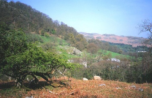
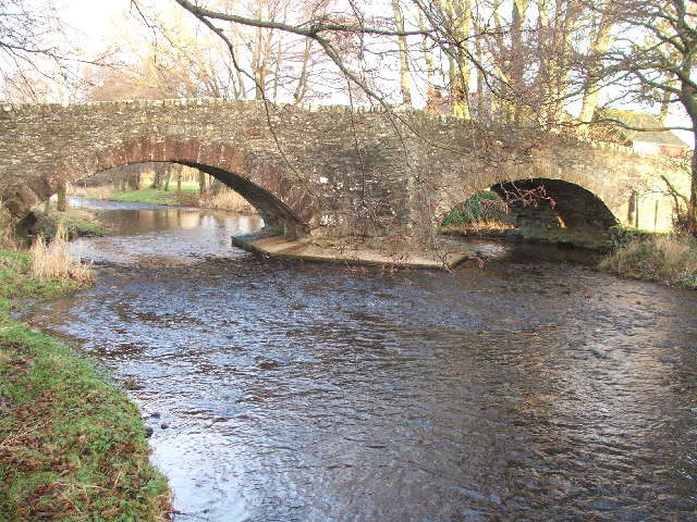
Littlewater Tarn, located in Westmorland, is a picturesque freshwater marsh nestled in the heart of the Lake District National Park in Cumbria, England. This captivating tarn, also referred to as a lake, pool, or pond, is a natural gem that enchants visitors with its tranquil beauty and abundant wildlife.
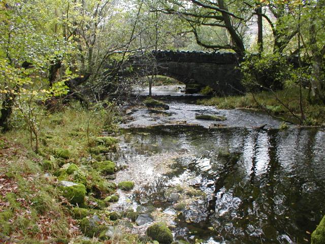
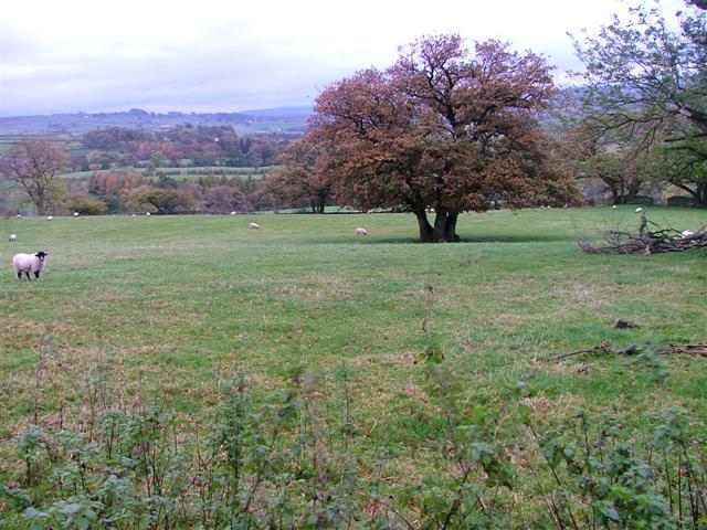
Surrounded by rolling hills and lush greenery, Littlewater Tarn covers an area of approximately 5 acres. The tarn is fed by a small stream that originates from the nearby fells, ensuring a constant flow of crystal-clear water. Its pristine waters are home to a diverse range of aquatic flora and fauna, making it a haven for nature enthusiasts and photographers.
The tarn's idyllic setting attracts a variety of bird species, including mallards, tufted ducks, and the occasional great crested grebe. It is also a popular spot for dragonflies and damselflies, which flit gracefully above the water's surface.
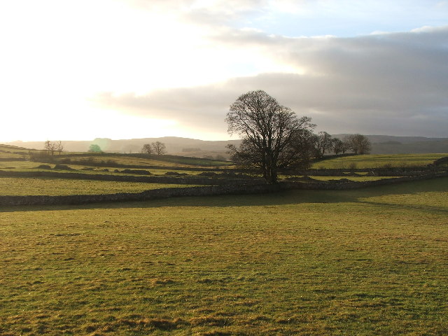
The surrounding marshland is adorned with vibrant wildflowers, such as marsh marigolds and purple loosestrife, adding bursts of color to the landscape. The marsh provides a habitat for various amphibians, including frogs and newts, and serves as a breeding ground for many aquatic insects.
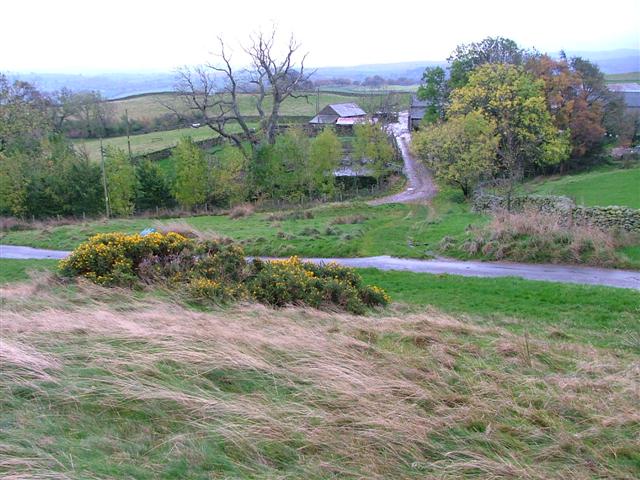
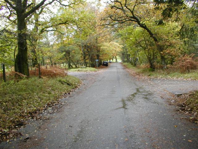
Visitors to Littlewater Tarn can take advantage of the nearby walking trails, which offer breathtaking views of the surrounding countryside. The peaceful ambiance and natural beauty of this hidden gem make it an ideal spot for picnics, nature walks, and simply enjoying a moment of tranquility away from the bustling world.
If you have any feedback on the listing, please let us know in the comments section below.
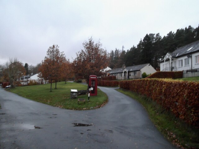
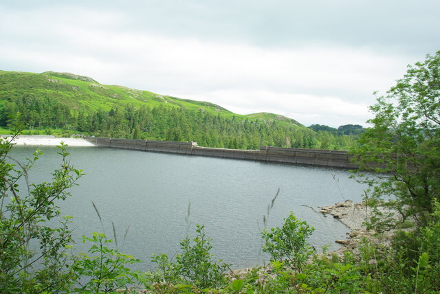
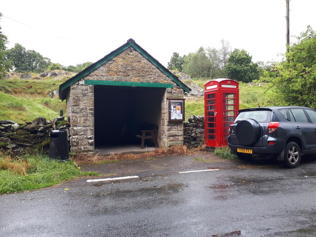
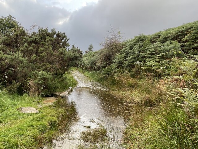
Littlewater Tarn Images
Images are sourced within 2km of 54.545618/-2.7606021 or Grid Reference NY5016. Thanks to Geograph Open Source API. All images are credited.
Littlewater Tarn is located at Grid Ref: NY5016 (Lat: 54.545618, Lng: -2.7606021)
Administrative County: Cumbria
District: Eden
Police Authority: Cumbria
What 3 Words
///fantastic.complains.warthog. Near Shap, Cumbria
Nearby Locations
Related Wikis

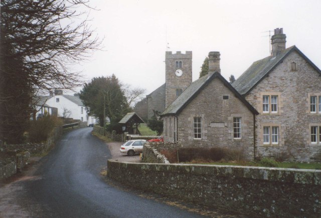
Bampton, Cumbria
Bampton is a village and civil parish in the Eden District of Cumbria, England, on the edge of the Lake District National Park. It is in the historic...

Bampton Grange
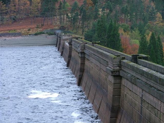
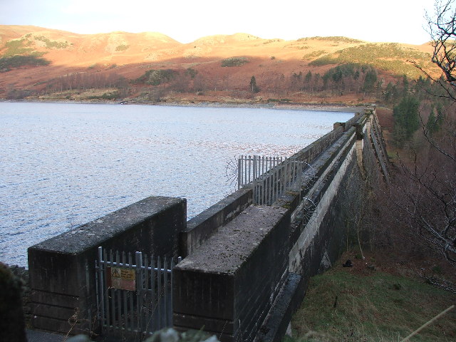
Bampton Grange is a village in Cumbria, England. Haweswater Beck arises as a stream discharge from Haweswater Reservoir and flows eastward, just north...

Bomby
Bomby is a village in Cumbria, England. Bomby village consists only of one farm house. The farm is mostly known for its specific potatoes, the Kind Edward...

Haweswater Beck
Haweswater Beck flows through Cumbria in England. It arises as a stream discharge from Haweswater Reservoir, at Gill Dubs, just east of the dam, and flows...

Butterwick, Cumbria
Butterwick is a hamlet in Cumbria, England, near the village of Helton. == Location grid ==

Naddle Horseshoe
The Naddle Horseshoe is a group of summits in the English Lake District, south of Mardale valley, Cumbria. It is the subject of a chapter of Wainwright...
West Ward Rural District
West Ward was a rural district of the administrative county of Westmorland. The area was directly based on the former West Ward rural sanitary district...

Knipescar Common
Knipescar Common, or Knipe Scar, is an upland area in the east of the English Lake District, above the River Lowther, near Bampton, Cumbria. It is the...
Related Videos

Lake District Walks | Knipescar Common | Wainwright’s Outlying Fells.
An Outlying Fell/|Birkett in the Far Eastern Fells on yet another gloriously quiet day in the hills.
Lake District Walks | Naddle Forest | Wainwright’s Far Eastern Fells
Birkett Bashing in the Far Eastern Fells on a quiet day in the hills. https://www.youtube.com/@TonysTrails?sub_confirmation=1 ...

Nabs Moor and Howes (Outlying Fells)
swindale #lakedistrict #outlyingfells #nabsmoor #walkingthewainwrights #wainwrightwalks On a visit to the delightful valley of ...
Stop off at Bampton Grange & on to Shap, Cumbria.
Bike Ride after this video to Shap Village in the next few days. Please leave a like & subscribe. Filmed by Exploring with Eden ...
Nearby Amenities
Located within 500m of 54.545618,-2.7606021Have you been to Littlewater Tarn?
Leave your review of Littlewater Tarn below (or comments, questions and feedback).