Brux Hill
Hill, Mountain in Aberdeenshire
Scotland
Brux Hill

Brux Hill, located in Aberdeenshire, Scotland, is a prominent hill that stands at an elevation of approximately 450 meters (1,476 feet). Situated within the scenic countryside, this natural landmark offers breathtaking panoramic views of the surrounding area.
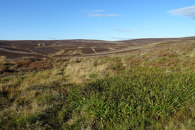
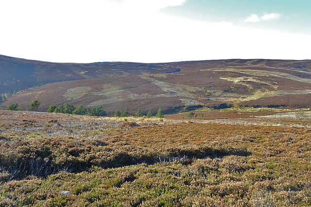
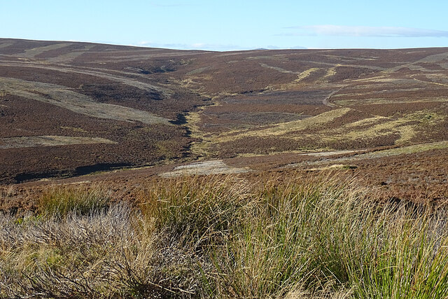
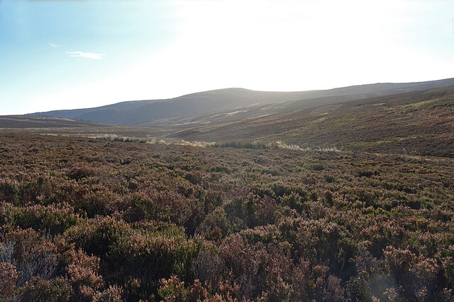
Covered in a mixture of grass, heather, and scattered shrubs, Brux Hill boasts a diverse range of flora and fauna. The hill is part of the Cairngorms National Park, which is renowned for its rich biodiversity and stunning landscapes. Visitors to Brux Hill can expect to encounter various species of birds, including golden eagles, peregrine falcons, and red grouse, as well as numerous types of wildflowers and mosses.
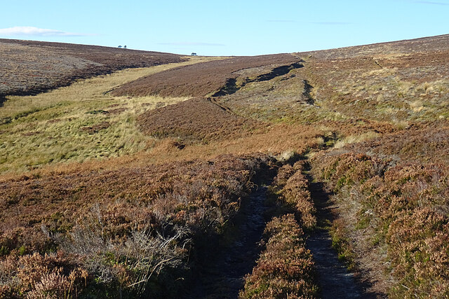
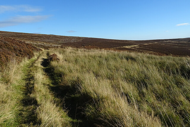
The hill itself features a series of craggy outcrops and rocky slopes, making it a popular destination for hikers and mountaineers. The ascent to the summit is moderately challenging, but the reward is well worth the effort, as it offers an unobstructed view of the surrounding countryside, including the nearby River Dee and the distant Grampian Mountains.
Due to its location within the Cairngorms National Park, Brux Hill provides ample opportunities for outdoor activities such as hillwalking, wildlife spotting, and photography. The area is also known for its historical significance, with traces of ancient settlements and burial sites found in the vicinity.
Overall, Brux Hill is a captivating natural landmark in Aberdeenshire, offering visitors a chance to immerse themselves in the beauty of the Scottish countryside while enjoying a variety of outdoor pursuits.
If you have any feedback on the listing, please let us know in the comments section below.
Brux Hill Images
Images are sourced within 2km of 57.279068/-2.828682 or Grid Reference NJ5021. Thanks to Geograph Open Source API. All images are credited.


Brux Hill is located at Grid Ref: NJ5021 (Lat: 57.279068, Lng: -2.828682)
Unitary Authority: Aberdeenshire
Police Authority: North East
What 3 Words
///theory.lilac.delay. Near Alford, Aberdeenshire
Nearby Locations
Related Wikis
Lumsden, Aberdeenshire
Lumsden is an inland village in Aberdeenshire, Scotland on the A97 road. == Location == It crowns a rising-ground 227 m (745 ft) above sea level amid a...

Mossat
Mossat is a settlement in Aberdeenshire, Scotland on the A97 road near Glenkindie and Lumsden, between Bridge of Alford and Strathdon, and is situated...
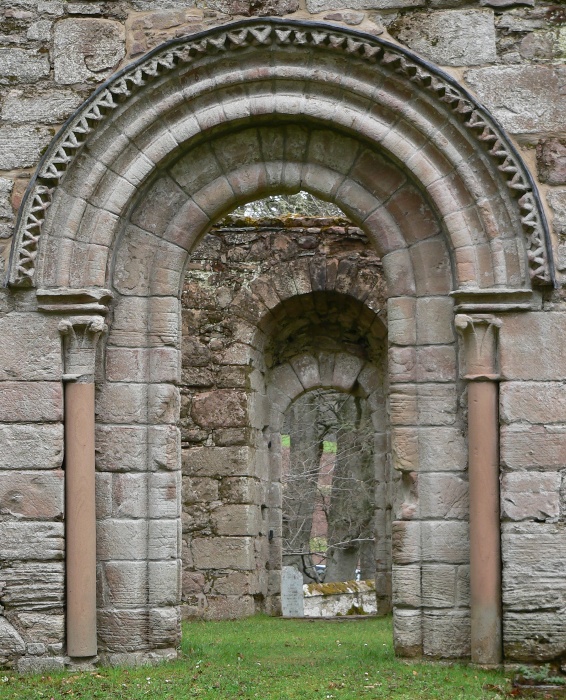
St Mary's Kirk, Auchindoir
St Mary's Kirk at Auchindoir, between Rhynie and Lumsden, in Aberdeenshire, Scotland, is one of the country's finest surviving medieval parish kirks. The...

Brux Castle
Brux Castle was a castle of the Forbeses, about 1.5 miles (2.4 km) east of Kildrummy, Aberdeenshire, Scotland, south of the river Don. The castle was...
Clova Monastery
Clova Monastery (also called Cloveth) was a medieval Culdee monastery in Kildrummy, Aberdeenshire, Scotland. == Founding == Clova was founded in the late...
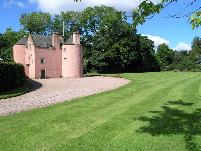
Terpersie Castle
Terpersie Castle (originally built as Dalpersie House) is a 16th-century tower house in Tullynessle, Aberdeenshire, Scotland, located 5 kilometres (3...

Kildrummy
Kildrummy (Scottish Gaelic: Cionn Droma) is a hamlet in Aberdeenshire, Scotland near the River Don, 7 miles (11 kilometres) west of Alford. The hamlet...

Druminnor Castle
Druminnor Castle is an L-plan castle, dating from the early 15th century, about two miles east of Rhynnie, in a steep valley by the Keron burn, in Aberdeenshire...
Nearby Amenities
Located within 500m of 57.279068,-2.828682Have you been to Brux Hill?
Leave your review of Brux Hill below (or comments, questions and feedback).