Bickerton Hill
Hill, Mountain in Cheshire
England
Bickerton Hill

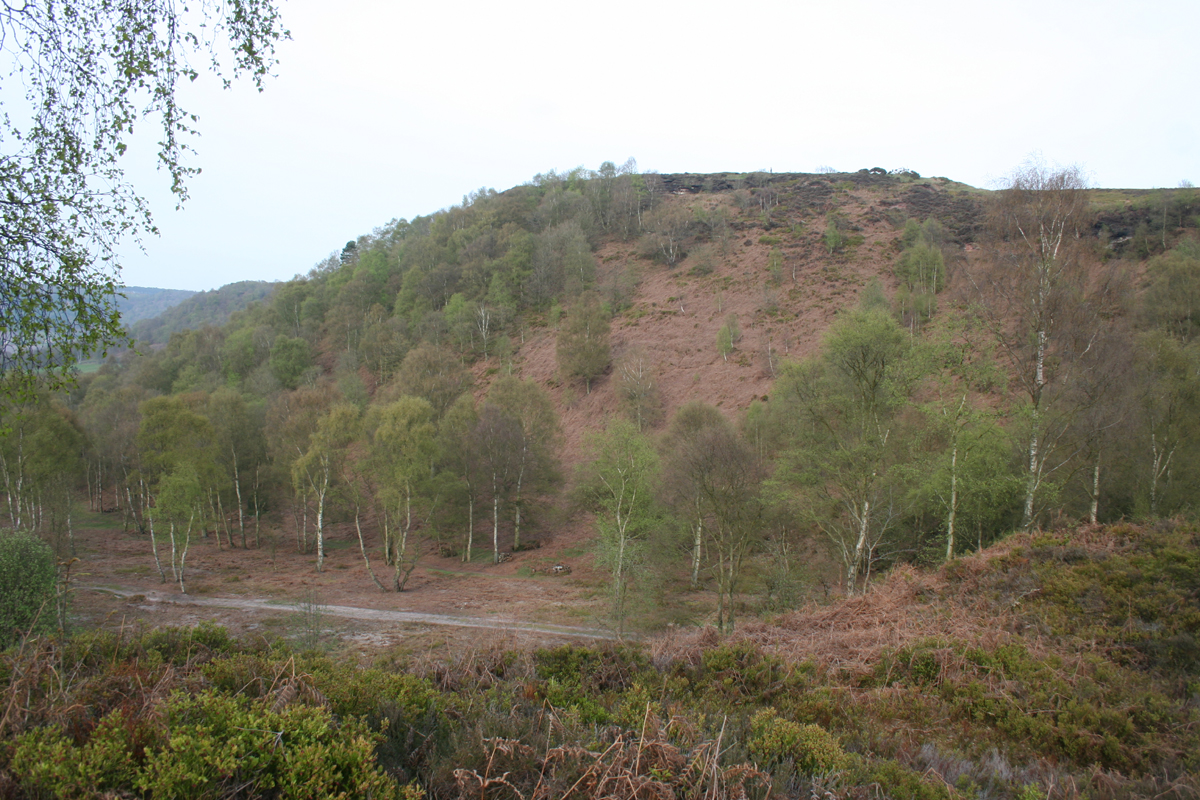
Bickerton Hill is a prominent landmark located in the county of Cheshire, England. It is part of the larger Cheshire Sandstone Ridge, which stretches from Frodsham in the north to Malpas in the south. Standing at an elevation of 227 meters (745 feet), Bickerton Hill offers breathtaking panoramic views of the surrounding countryside.
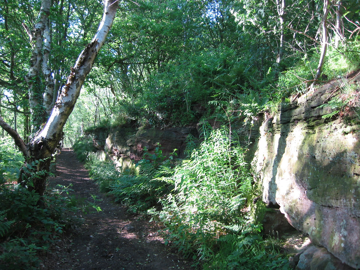
The hill is renowned for its distinctive sandstone cliffs that have been eroded over centuries, creating a rugged and picturesque landscape. It is covered in heathland, grassland, and woodland, providing a diverse habitat for a range of flora and fauna. Visitors to Bickerton Hill can expect to see a variety of wildlife including deer, foxes, and a multitude of bird species.
There are several well-marked walking trails that crisscross the hill, making it a popular destination for hikers and nature enthusiasts. One of the most popular routes is the Sandstone Trail, a long-distance footpath that runs along the ridge, offering stunning views along the way.
Historically, Bickerton Hill has been inhabited for thousands of years, with evidence of ancient settlements and burial sites found in the surrounding area. The hill also played a role in the English Civil War, with a small fortification known as Maiden Castle built on its summit.
Today, Bickerton Hill is managed by the National Trust and is designated as a Site of Special Scientific Interest (SSSI) due to its ecological importance. It is a cherished natural landmark, providing not only a recreational space for locals and visitors but also serving as an important habitat for wildlife.
If you have any feedback on the listing, please let us know in the comments section below.
Bickerton Hill Images
Images are sourced within 2km of 53.075777/-2.7457245 or Grid Reference SJ5053. Thanks to Geograph Open Source API. All images are credited.


Bickerton Hill is located at Grid Ref: SJ5053 (Lat: 53.075777, Lng: -2.7457245)
Unitary Authority: Cheshire East
Police Authority: Cheshire
What 3 Words
///seaside.internal.printout. Near Harthill, Cheshire
Nearby Locations
Related Wikis
Maiden Castle, Cheshire
Maiden Castle is an Iron Age hill fort, one of many fortified hill-top settlements constructed across Britain during the Iron Age, but one of only seven...
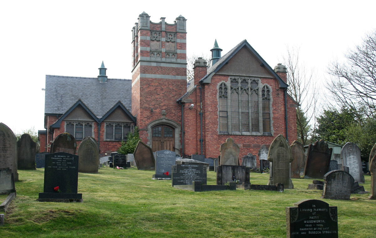
Brown Knowl Methodist Church
Brown Knowl Methodist Church is in Sherrington's Lane in the settlement of Brown Knowl in the civil parish of Broxton, Cheshire, England. The church,...
Larkton
Larkton is a former civil parish, now in the parish of No Man's Heath and District, in the Cheshire West and Chester district and ceremonial county of...
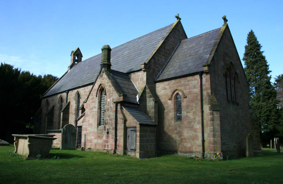
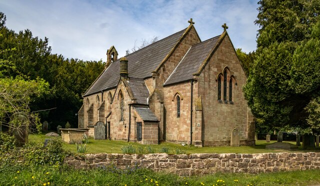
Holy Trinity Church, Bickerton
Holy Trinity Church stands to the north of the village of Bickerton, Cheshire, England. The church is recorded in the National Heritage List for England...
Nearby Amenities
Located within 500m of 53.075777,-2.7457245Have you been to Bickerton Hill?
Leave your review of Bickerton Hill below (or comments, questions and feedback).