Ileden
Settlement in Kent Canterbury
England
Ileden
Ileden is a small village located in the county of Kent, in southeastern England. Situated near the town of Ashford, it lies within the beautiful countryside of the Kent Downs Area of Outstanding Natural Beauty. With a population of around 500 residents, Ileden maintains a close-knit community atmosphere.
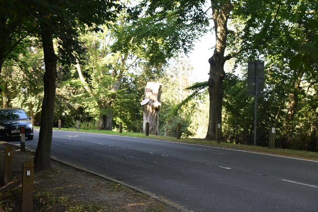
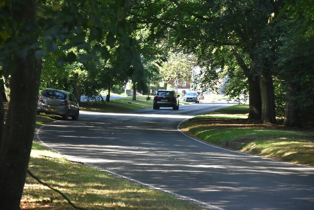
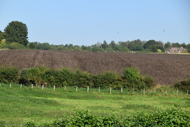
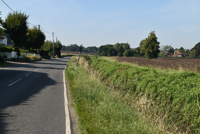
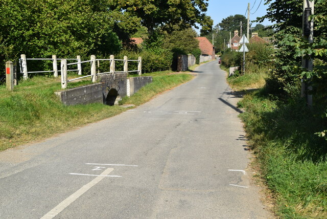
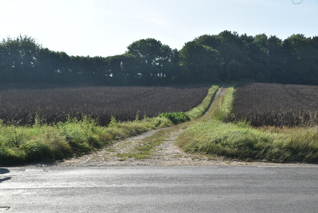
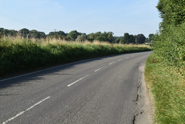
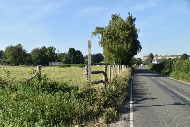
The village is characterized by its picturesque surroundings, featuring rolling hills, meadows, and charming country lanes. The landscape provides opportunities for outdoor pursuits such as hiking, cycling, and horseback riding. Additionally, Ileden is home to a number of farms, contributing to the rural ambiance and providing the community with fresh local produce.
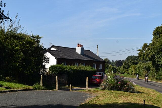
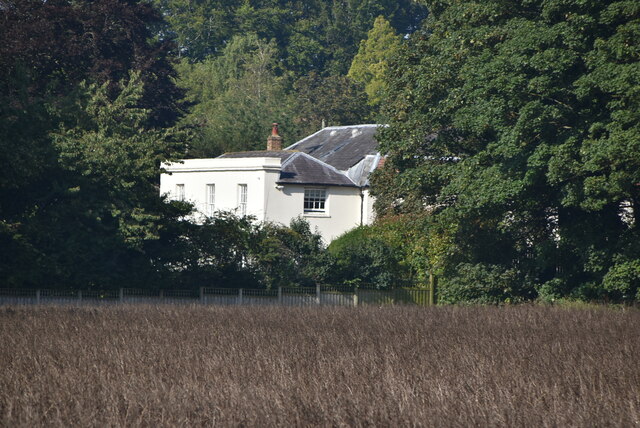
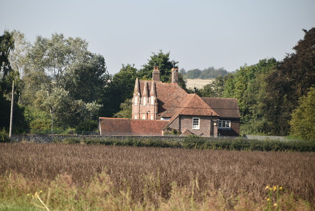
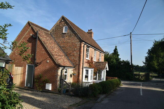
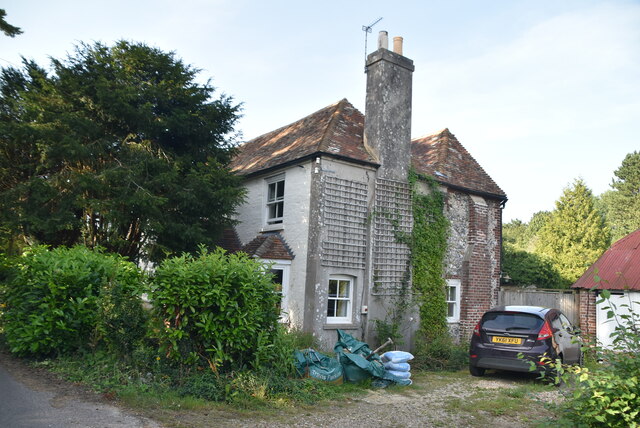
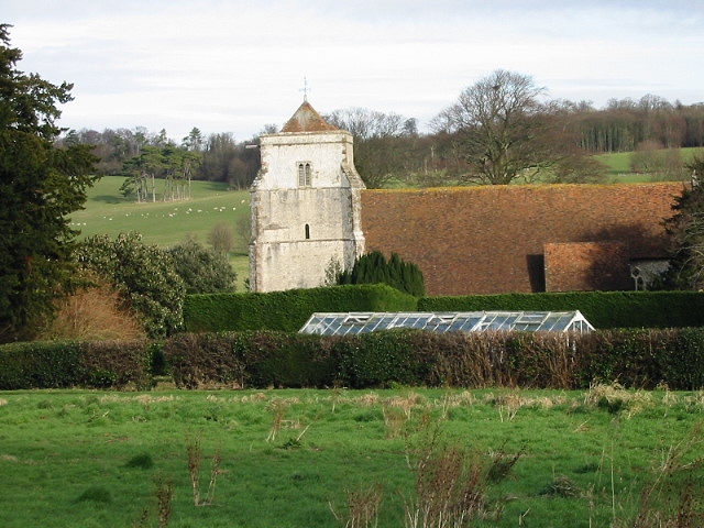
Ileden boasts a rich historical background, with evidence of human habitation dating back to the Iron Age. The village is dotted with historic buildings, including the beautiful Church of St. Peter and St. Paul, which dates back to the 12th century and is renowned for its stunning architecture and stained glass windows.
Although small in size, Ileden offers a range of amenities for its residents. These include a village hall, a primary school, a local pub, and a post office. The village also benefits from being well-connected to nearby towns and cities, with good transport links allowing for easy access to Ashford and beyond.
Overall, Ileden is a peaceful and idyllic village that combines natural beauty, a strong sense of community, and a rich heritage, making it an attractive place for residents and visitors alike.
If you have any feedback on the listing, please let us know in the comments section below.
Ileden Images
Images are sourced within 2km of 51.224775/1.1493739 or Grid Reference TR2052. Thanks to Geograph Open Source API. All images are credited.
Ileden is located at Grid Ref: TR2052 (Lat: 51.224775, Lng: 1.1493739)
Administrative County: Kent
District: Canterbury
Police Authority: Kent
What 3 Words
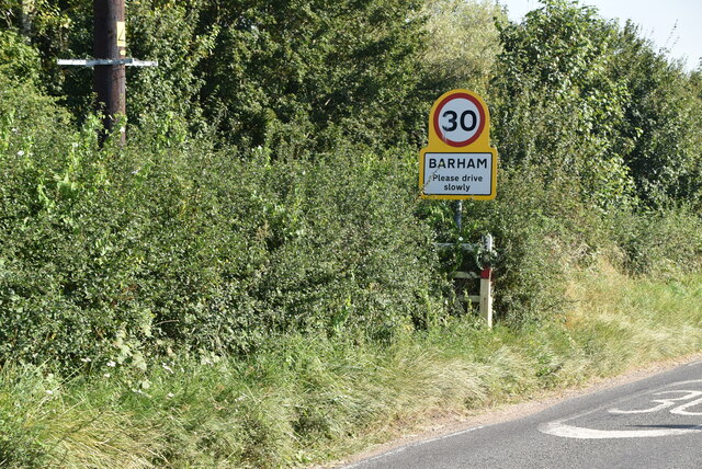
///acrobatic.slate.overnight. Near Barham, Kent
Related Wikis

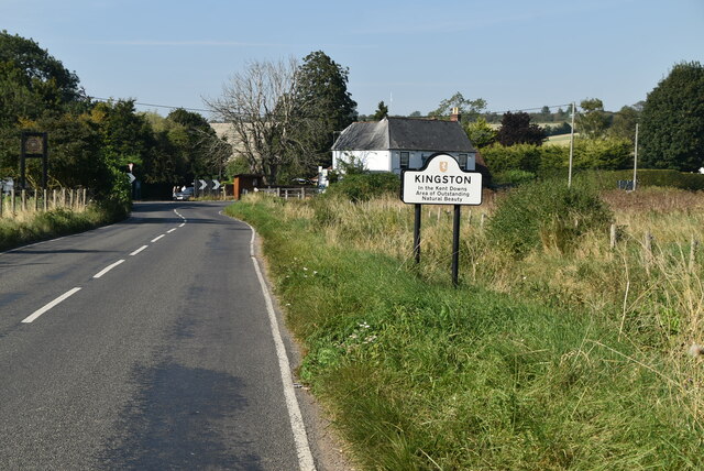
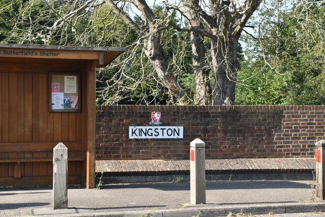
Kingston, Kent
Kingston is a village and civil parish between Canterbury and Dover in Kent, South East England. The parish contains the hamlet of Marley. == History... ==
Bishopsbourne
Bishopsbourne is a mostly rural and wooded village and civil parish in Kent, England. It has two short developed sections of streets at the foot of the...

Bishopsbourne railway station
Bishopsbourne was a station on the Elham Valley Railway. It opened in 1889 and closed to passengers in 1940 and freight in 1947. == History == The station...
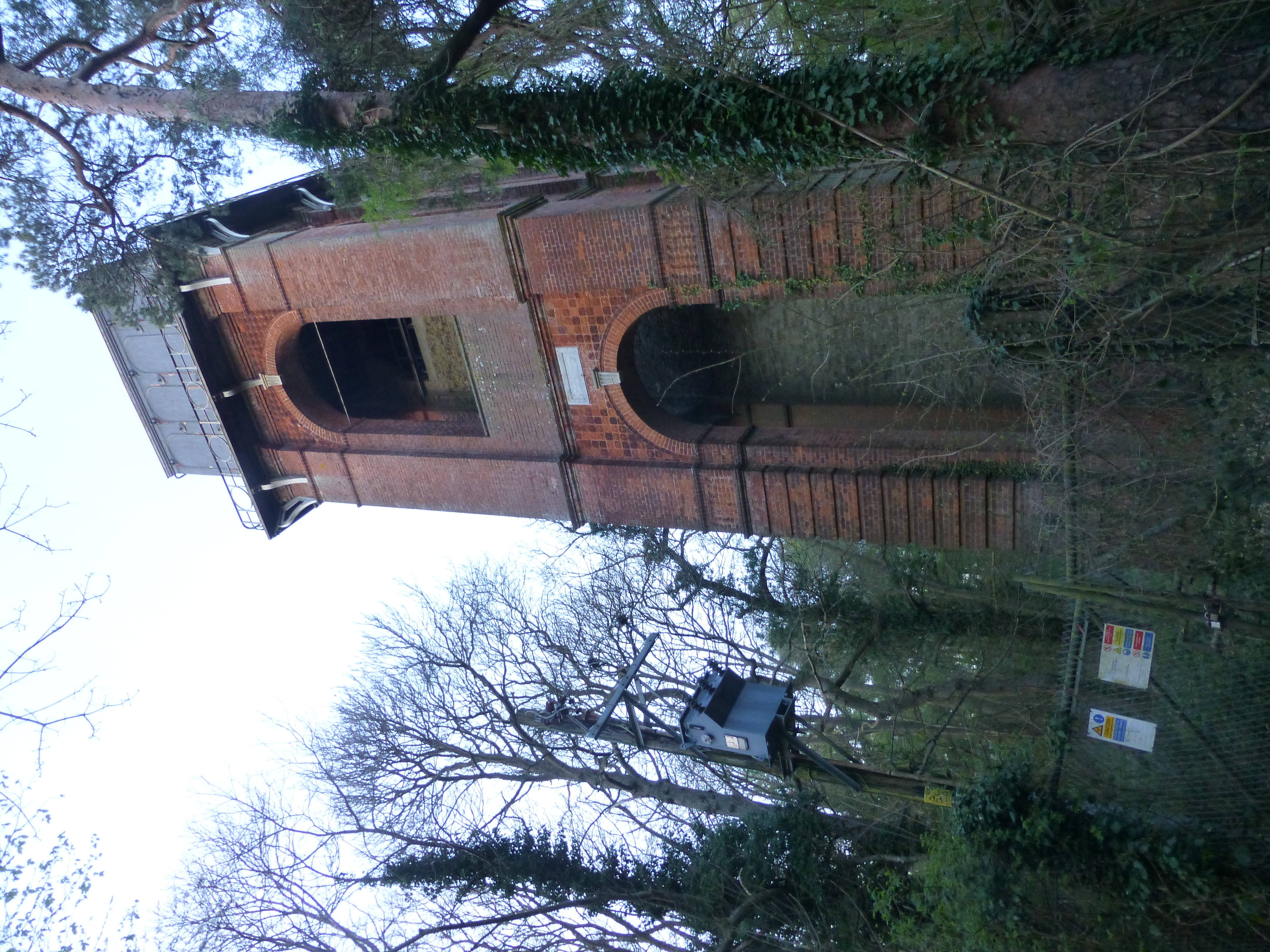
Adisham Water Tower
Adisham Water Tower is a Grade II listed building located in the parish of Adisham, Kent. The structure was built in 1903 in an Edwardian Italianate Revival...
Black Mill, Barham
Black Mill or Barham Downs Mill was a smock mill at Barham, Kent, England which was accidentally burnt down in 1970 while under restoration. == History... ==

Ileden and Oxenden Woods
Ileden and Oxenden Woods is an 86.4-hectare (213-acre) biological Site of Special Scientific Interest (SSSI) south-east of Canterbury in Kent. It is in...

Higham Park
Higham Park is a Grade II* listed neoclassical style house and gardens, located at Bridge, Kent, 3 miles (4.8 km) south of Canterbury. == History... ==

Bourne Paddock
Bourne Paddock was a cricket ground at Bourne Park House, the seat of Sir Horatio Mann, at Bishopsbourne around 4 miles (6.4 km) south-east of Canterbury...
Nearby Amenities
Located within 500m of 51.224775,1.1493739Have you been to Ileden?
Leave your review of Ileden below (or comments, questions and feedback).