Ilderton
Settlement in Northumberland
England
Ilderton

Ilderton is a small village located in the county of Northumberland, in the northeastern region of England. Situated approximately 14 miles north of Alnwick, it is nestled within the picturesque landscape of the Northumberland National Park.
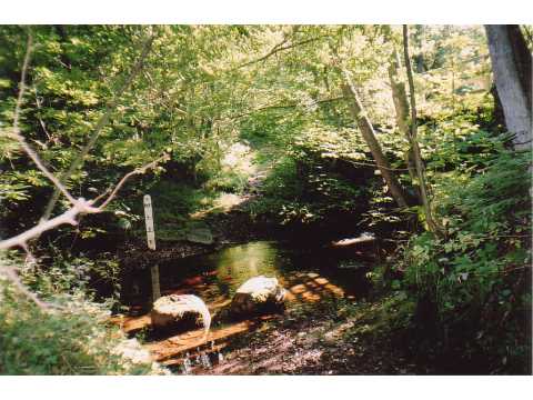
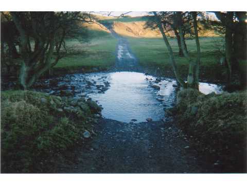
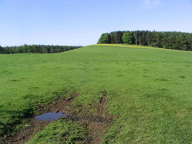
With a population of around 150 people, Ilderton is known for its tranquil and idyllic setting. The village is surrounded by rolling hills, lush meadows, and dense woodlands, providing residents and visitors with ample opportunities for outdoor activities such as hiking, cycling, and wildlife spotting.
Ilderton is rich in history, and evidence of its past can be seen in the village's architecture and landmarks. The 12th-century St. Michael's Church stands proudly at the heart of the community, showcasing its Norman origins. Other historical points of interest include the Ilderton Dod, a Bronze Age burial mound, and the remains of a medieval tower house.
The community of Ilderton is close-knit and welcoming, with a strong sense of community spirit. The village holds regular events and gatherings, such as the annual summer fête, which brings together residents and visitors for a day of fun and celebration.
Although Ilderton is a small village, it benefits from its proximity to nearby towns and amenities. The market town of Wooler is just a short drive away, providing access to shops, schools, and healthcare facilities.
Overall, Ilderton offers a peaceful and picturesque haven for those seeking a rural lifestyle amidst the stunning natural beauty of Northumberland.
If you have any feedback on the listing, please let us know in the comments section below.
Ilderton Images
Images are sourced within 2km of 55.491431/-1.974943 or Grid Reference NU0121. Thanks to Geograph Open Source API. All images are credited.


Ilderton is located at Grid Ref: NU0121 (Lat: 55.491431, Lng: -1.974943)
Unitary Authority: Northumberland
Police Authority: Northumbria
What 3 Words
///neatly.grin.youth. Near Wooler, Northumberland
Nearby Locations
Related Wikis

Ilderton Hall
Ilderton Hall is a modest 18th-century country house at Ilderton, Northumberland.(grid reference NU01662177). It is a Grade II listed building.The house...

Ilderton, Northumberland
Ilderton is a small village in Northumberland, England. It is located on the edge of the Northumberland National Park, between Lilburn, Northumberland...
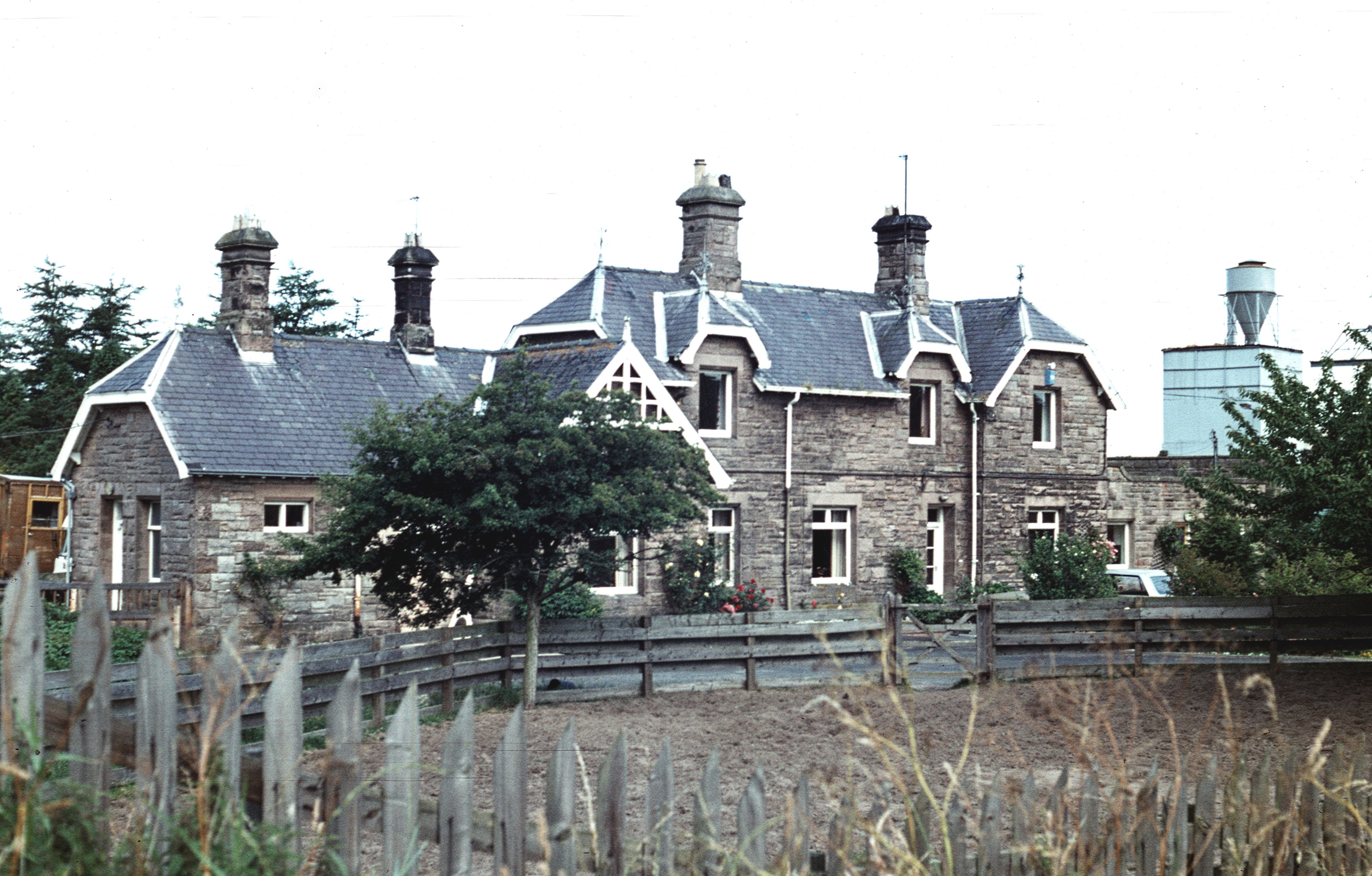
Ilderton railway station
Ilderton railway station served the village of Ilderton, Northumberland, England from 1887 to 1953 on the Cornhill Branch. == History == The station opened...

Roddam Hall
Roddam Hall is a privately owned 18th-century country house near Wooler, Northumberland. It is a Grade II listed building.The Roddams, an ancient Northumbrian...
Roddam, Northumberland
Roddam is a village and civil parish about 24 miles from Morpeth, in the county of Northumberland, England. In 2001 the parish had a population of 77....

Lilburn Tower
Lilburn Tower is a privately owned 19th-century mansion house at Lilburn, near Wooler, Northumberland. The property is a Grade II* listed building and...
Lilburn, Northumberland
Lilburn is a small village in Northumberland, England. It is located in the on the edge of the Cheviots. The local farming estate is centred on Lilburn...
Wooperton railway station
Wooperton railway station served the hamlet of Wooperton, Roddam, Northumberland, England from 1887 to 1954 on the Cornhill Branch. == History == The station...
Nearby Amenities
Located within 500m of 55.491431,-1.974943Have you been to Ilderton?
Leave your review of Ilderton below (or comments, questions and feedback).