Walk Wood

Wood, Forest in Kent Canterbury

England

Walk Wood

Valley Rd
Valley Rd Credit: N Chadwick

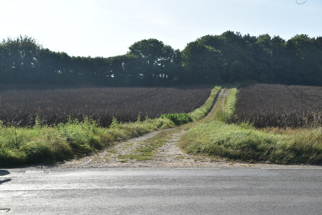
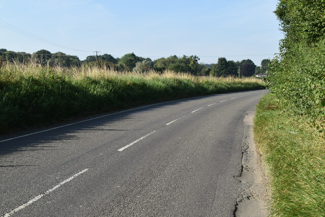
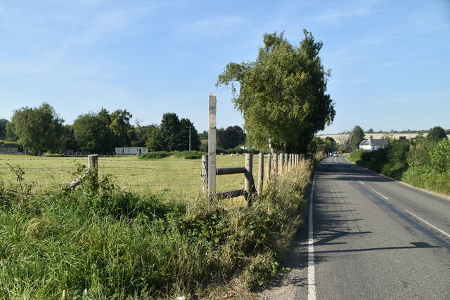
Walk Wood is a sprawling forest located in the picturesque county of Kent, England. Covering an area of approximately 200 acres, this woodland is a beloved natural haven for both locals and tourists alike. It is situated near the village of Walk and is easily accessible via a network of well-marked footpaths.

The woodland is predominantly made up of mature trees, including oak, beech, and birch, which create a dense canopy overhead. This provides a cool and shaded environment, making it a popular spot for nature enthusiasts and hikers to escape the summer heat. The forest floor is carpeted with lush vegetation, including wildflowers, ferns, and mosses, adding to the beauty and tranquility of the surroundings.

Walk Wood is home to a diverse range of wildlife, making it a haven for nature lovers. Visitors may spot a variety of bird species, such as woodpeckers, owls, and warblers, as well as small mammals like squirrels and foxes. The forest also boasts a rich insect population, including butterflies and dragonflies, which adds a vibrant touch of color to the landscape.

The woodland has a number of well-maintained trails, allowing visitors to explore its beauty at their own pace. These paths wind through the forest, offering stunning views of the flora and fauna. Walk Wood is a popular destination for outdoor activities, such as walking, jogging, and picnicking, with designated areas available for visitors to relax and enjoy the peaceful surroundings.

Overall, Walk Wood is a serene and enchanting forest that offers a respite from the hustle and bustle of daily life. Its natural beauty, diverse wildlife, and well-maintained trails make it a must-visit destination for nature lovers and outdoor enthusiasts.

If you have any feedback on the listing, please let us know in the comments section below.
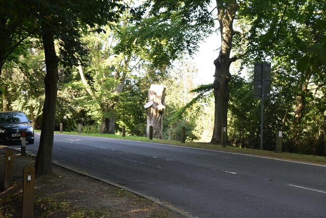
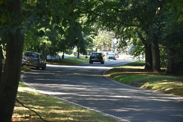
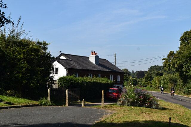
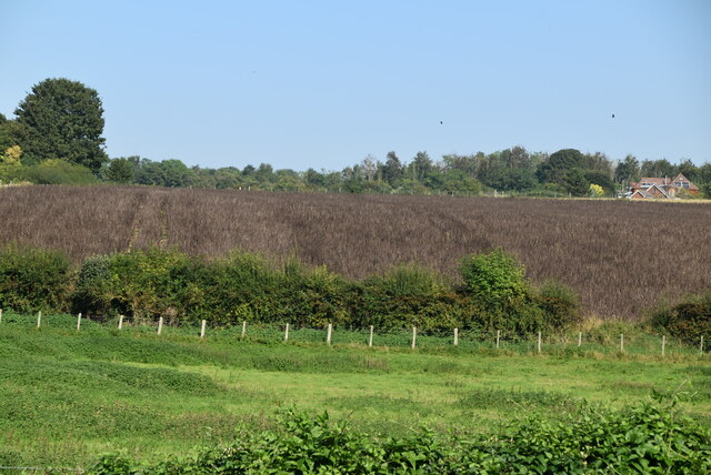
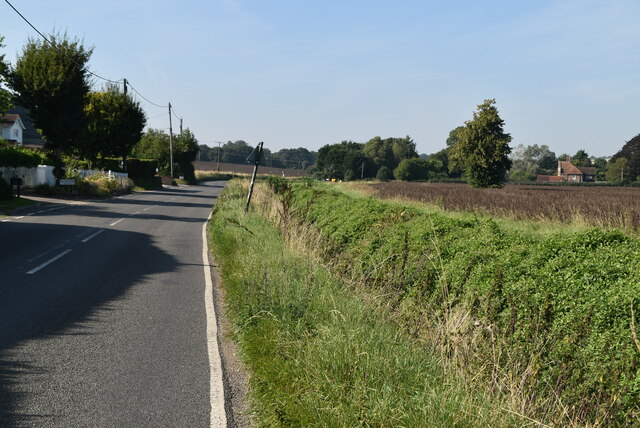
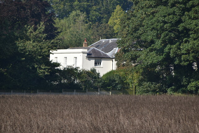
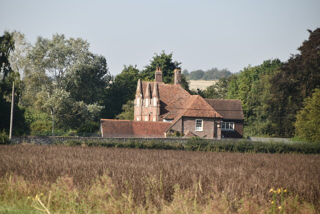
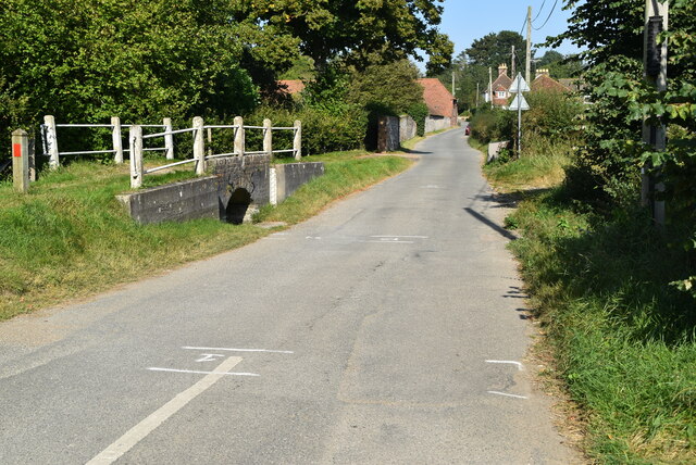
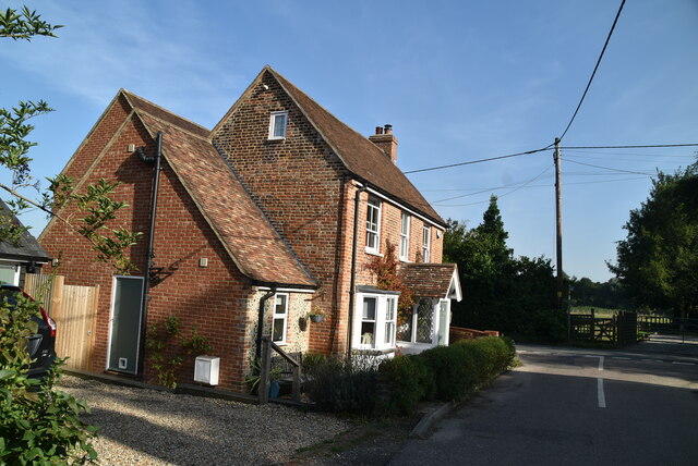
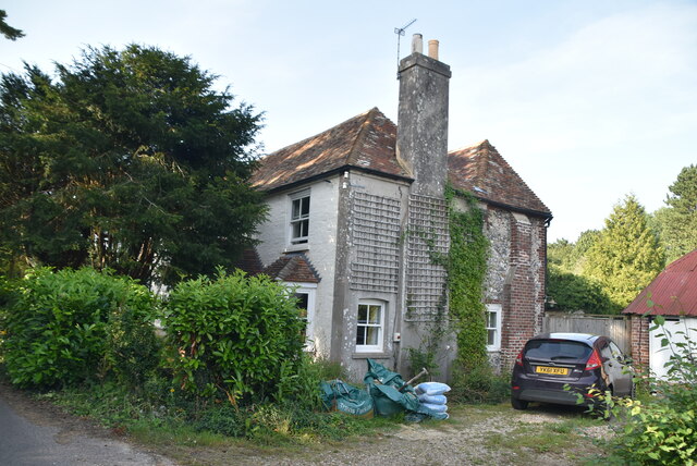
Walk Wood Images

Images are sourced within 2km of 51.225223/1.1624545 or Grid Reference TR2052. Thanks to Geograph Open Source API. All images are credited.

Valley Rd
Valley Rd
Valley Rd
Valley Rd
End of old route of Valley Rd
Elham Valley The Elham Valley is a chalk valley carved by the River Nailbourne situated in the North Downs in East Kent. The valley is named after the settlement of Elham. Other settlements in the valley include Etchinghill, Lyminge, Barham, Kingston, Bishopsbourne and Bridge. 
The Elham Valley Way, a 22.5-mile recreational walking route passes through the valley. The route starts at Hythe and finishes at Canterbury Cathedral. It utilises much of the old route of the Elham Valley Railway, constructed in the 19th century to connect Folkestone and Canterbury. It was closed in 1947.
Elham Valley
The Elham Valley is a chalk valley carved by the River Nailbourne situated in the North Downs in East Kent. The valley is named after the settlement of Elham. Other settlements in the valley include Etchinghill, Lyminge, Barham, Kingston, Bishopsbourne and Bridge. The Elham Valley Way, a 22.5-mile recreational walking route passes through the valley. The route starts at Hythe and finishes at Canterbury Cathedral. It utilises much of the old route of the Elham Valley Railway, constructed in the 19th century to connect Folkestone and Canterbury. It was closed in 1947.
Valley Rd
Valley Rd
Elmstone Court Grade II listed.
Elmstone Court
Grade II listed.
The Old Rectory
The Old Rectory
Dry ford, Out Elmstead Lane The Nailbourne (Little Stour) flows from Lyminge, through the Elham Valley until it becomes known as the Little Stour at Littlebourne.
The Nailbourne bubbles up beneath St Ethelburga's Well in Tayne Field in the centre of Lyminge. Whilst the stream often holds a plentiful supply of water from Lyminge to Elham throughout the year, it rarely holds any water from Elham to Bishopsbourne even in the winter months. However, in wet years the normally dry ditch can turn into a fast flowing torrent, flooding roads, fields and houses. An example of this was in 2001 when there was extensive flooding throughout the Elham Valley. It joins with the Great Stour at Plucks Gutter.
Dry ford, Out Elmstead Lane
The Nailbourne (Little Stour) flows from Lyminge, through the Elham Valley until it becomes known as the Little Stour at Littlebourne. The Nailbourne bubbles up beneath St Ethelburga's Well in Tayne Field in the centre of Lyminge. Whilst the stream often holds a plentiful supply of water from Lyminge to Elham throughout the year, it rarely holds any water from Elham to Bishopsbourne even in the winter months. However, in wet years the normally dry ditch can turn into a fast flowing torrent, flooding roads, fields and houses. An example of this was in 2001 when there was extensive flooding throughout the Elham Valley. It joins with the Great Stour at Plucks Gutter.
Bridleway off Valley Rd
Valley Rd
Valley Rd
Footpath off Valley Rd
Entering Barham, Valley Road Barham is a village in the Elham Valley about 6 miles SE of Canterbury.
Wikipedia: <span class="nowrap"><a title="https://en.wikipedia.org/wiki/Barham,_Kent" rel="nofollow ugc noopener" href="https://en.wikipedia.org/wiki/Barham,_Kent">Link</a><img style="margin-left:2px;" alt="External link" title="External link - shift click to open in new window" src="https://s1.geograph.org.uk/img/external.png" width="10" height="10"/></span>
Entering Barham, Valley Road
Barham is a village in the Elham Valley about 6 miles SE of Canterbury. Wikipedia: LinkExternal link
Entering Kingston, Valley Rd Kingston is a small village in the Elham Valley, 5 miles SE of Canterbury.
Wikipedia: <span class="nowrap"><a title="https://en.wikipedia.org/wiki/Kingston,_Kent" rel="nofollow ugc noopener" href="https://en.wikipedia.org/wiki/Kingston,_Kent">Link</a><img style="margin-left:2px;" alt="External link" title="External link - shift click to open in new window" src="https://s1.geograph.org.uk/img/external.png" width="10" height="10"/></span>
Entering Kingston, Valley Rd
Kingston is a small village in the Elham Valley, 5 miles SE of Canterbury. Wikipedia: LinkExternal link
Farmland, Elham Valley The Elham Valley is a chalk valley carved by the River Nailbourne situated in the North Downs in East Kent. The valley is named after the settlement of Elham. Other settlements in the valley include Etchinghill, Lyminge, Barham, Kingston, Bishopsbourne and Bridge. 
The Elham Valley Way, a 22.5-mile recreational walking route passes through the valley. The route starts at Hythe and finishes at Canterbury Cathedral. It utilises much of the old route of the Elham Valley Railway, constructed in the 19th century to connect Folkestone and Canterbury. It was closed in 1947.
Farmland, Elham Valley
The Elham Valley is a chalk valley carved by the River Nailbourne situated in the North Downs in East Kent. The valley is named after the settlement of Elham. Other settlements in the valley include Etchinghill, Lyminge, Barham, Kingston, Bishopsbourne and Bridge. The Elham Valley Way, a 22.5-mile recreational walking route passes through the valley. The route starts at Hythe and finishes at Canterbury Cathedral. It utilises much of the old route of the Elham Valley Railway, constructed in the 19th century to connect Folkestone and Canterbury. It was closed in 1947.
The Black Robin Grade II listed.
The Black Robin
Grade II listed.
Kingston sign Kingston is a small village in the Elham Valley, 5 miles SE of Canterbury.
Wikipedia: <span class="nowrap"><a title="https://en.wikipedia.org/wiki/Kingston,_Kent" rel="nofollow ugc noopener" href="https://en.wikipedia.org/wiki/Kingston,_Kent">Link</a><img style="margin-left:2px;" alt="External link" title="External link - shift click to open in new window" src="https://s1.geograph.org.uk/img/external.png" width="10" height="10"/></span>
Kingston sign
Kingston is a small village in the Elham Valley, 5 miles SE of Canterbury. Wikipedia: LinkExternal link
The Old Post Office Cottage Kingston is a small village in the Elham Valley, 5 miles SE of Canterbury.
Wikipedia: <span class="nowrap"><a title="https://en.wikipedia.org/wiki/Kingston,_Kent" rel="nofollow ugc noopener" href="https://en.wikipedia.org/wiki/Kingston,_Kent">Link</a><img style="margin-left:2px;" alt="External link" title="External link - shift click to open in new window" src="https://s1.geograph.org.uk/img/external.png" width="10" height="10"/></span>
The Old Post Office Cottage
Kingston is a small village in the Elham Valley, 5 miles SE of Canterbury. Wikipedia: LinkExternal link
The Old Forge Kingston is a small village in the Elham Valley, 5 miles SE of Canterbury.
Wikipedia: <span class="nowrap"><a title="https://en.wikipedia.org/wiki/Kingston,_Kent" rel="nofollow ugc noopener" href="https://en.wikipedia.org/wiki/Kingston,_Kent">Link</a><img style="margin-left:2px;" alt="External link" title="External link - shift click to open in new window" src="https://s1.geograph.org.uk/img/external.png" width="10" height="10"/></span>
The Old Forge
Kingston is a small village in the Elham Valley, 5 miles SE of Canterbury. Wikipedia: LinkExternal link
Show me another place!

Walk Wood is located at Grid Ref: TR2052 (Lat: 51.225223, Lng: 1.1624545)

Administrative County: Kent

District: Canterbury

Police Authority: Kent

What 3 Words

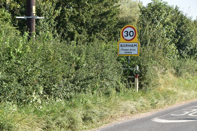
///liability.steaming.downs. Near Barham, Kent

Nearby Locations

Ileden Walk Wood

Related Wikis

Ileden and Oxenden Woods

Ileden and Oxenden Woods is an 86.4-hectare (213-acre) biological Site of Special Scientific Interest (SSSI) south-east of Canterbury in Kent. It is in...

Black Mill, Barham

Black Mill or Barham Downs Mill was a smock mill at Barham, Kent, England which was accidentally burnt down in 1970 while under restoration. == History... ==
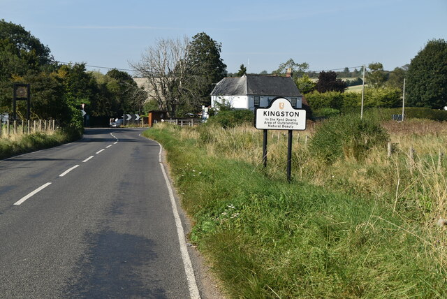
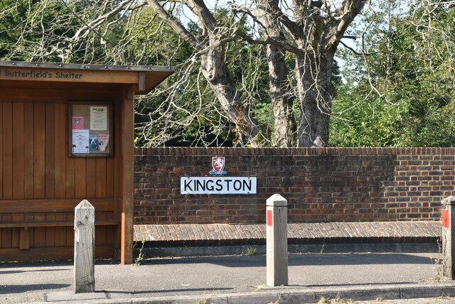
Kingston, Kent

Kingston is a village and civil parish between Canterbury and Dover in Kent, South East England. The parish contains the hamlet of Marley. == History... ==
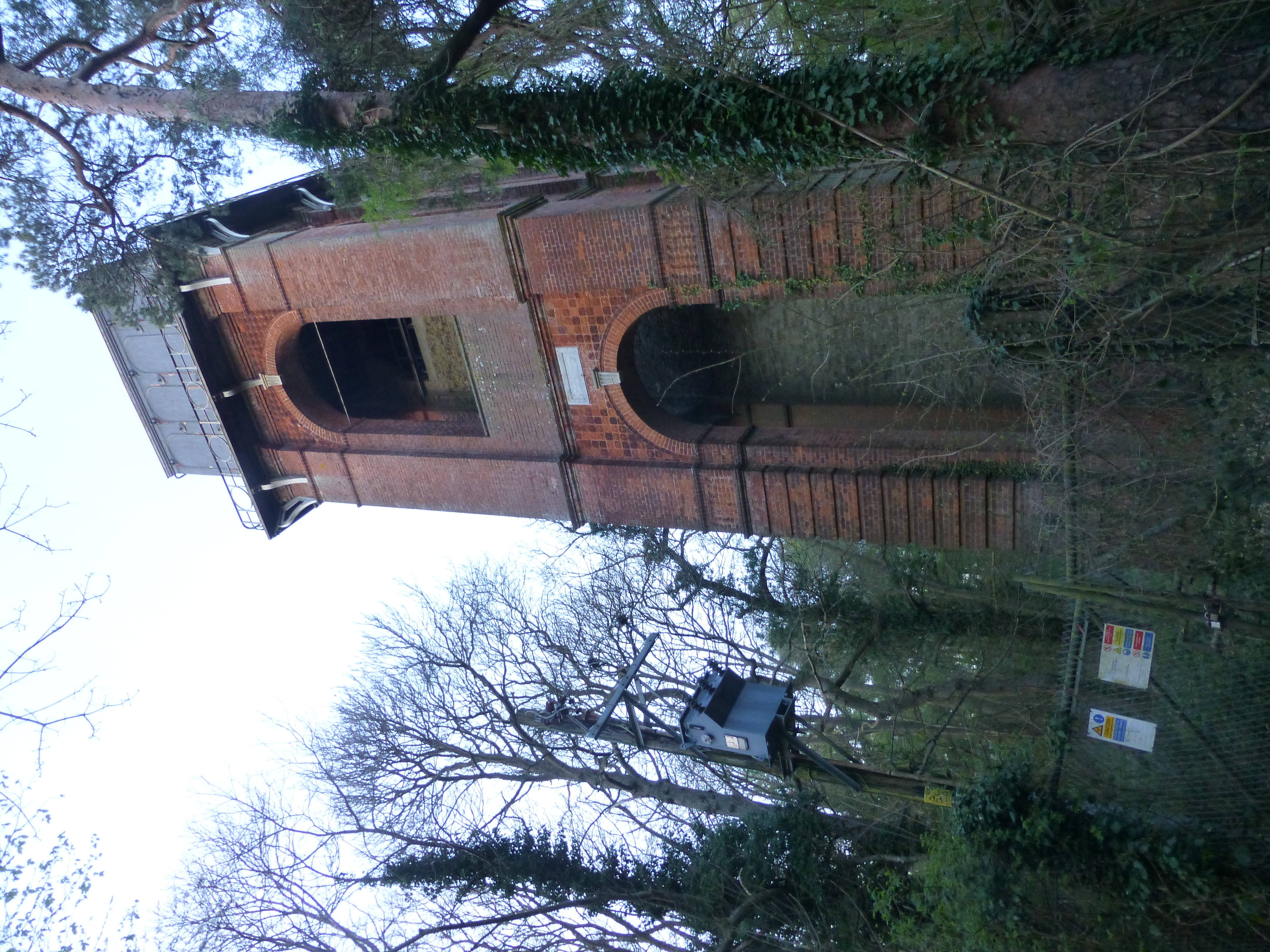
Adisham Water Tower

Adisham Water Tower is a Grade II listed building located in the parish of Adisham, Kent. The structure was built in 1903 in an Edwardian Italianate Revival...

Nearby Amenities

Located within 500m of 51.225223,1.1624545
Power: pole
Lat/Long: 51.228356/1.1635273
Power: pole
Lat/Long: 51.2293332/1.1647665
Bench
Survey Date: 2023-06-10
Lat/Long: 51.2207978/1.1619599
The data included in this document is from www.openstreetmap.org. The data is made available under ODbL.

Have you been to Walk Wood?

Leave your review of Walk Wood below (or comments, questions and feedback).