Low Common
Wood, Forest in Norfolk Broadland
England
Low Common
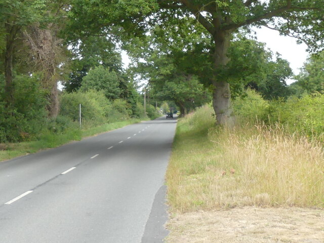
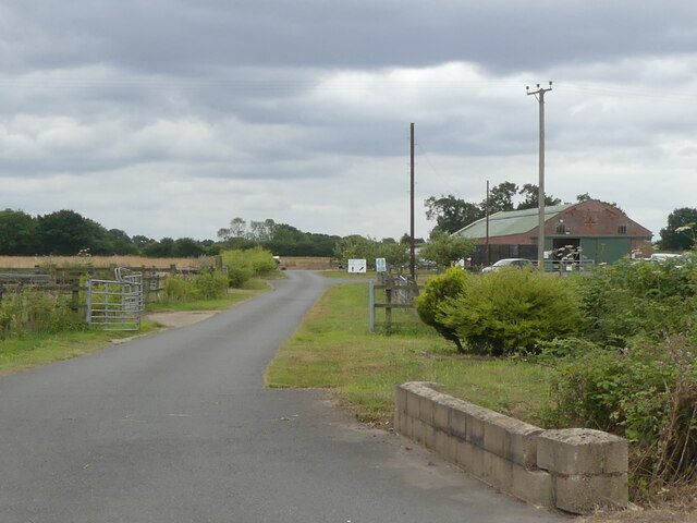
Low Common, Norfolk (Wood, Forest) is a small village located in the county of Norfolk, England. Situated in the eastern part of the country, Low Common is known for its picturesque woodlands and tranquil atmosphere. The village is surrounded by lush greenery and offers a serene escape from the bustling city life.
With a population of approximately 300 residents, Low Common exudes a close-knit community feel. The village is home to a range of charming cottages and traditional English houses, which add to its idyllic charm. The residents of Low Common take great pride in their community and work together to maintain its rustic beauty.
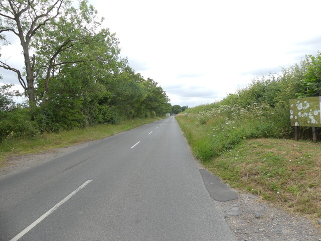
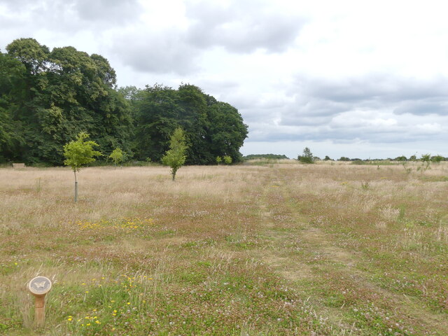
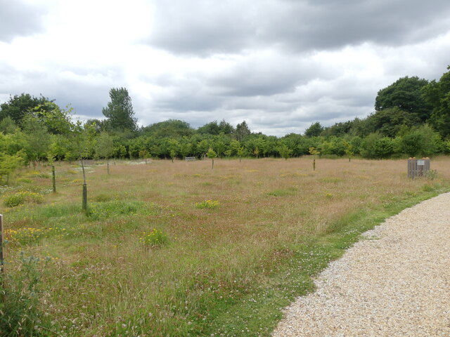
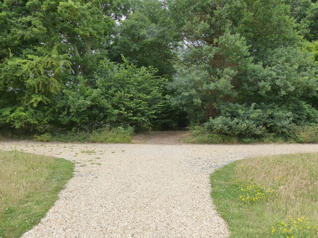
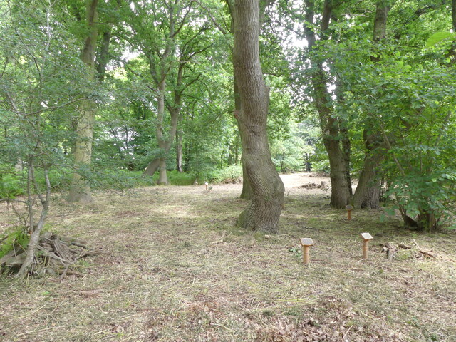
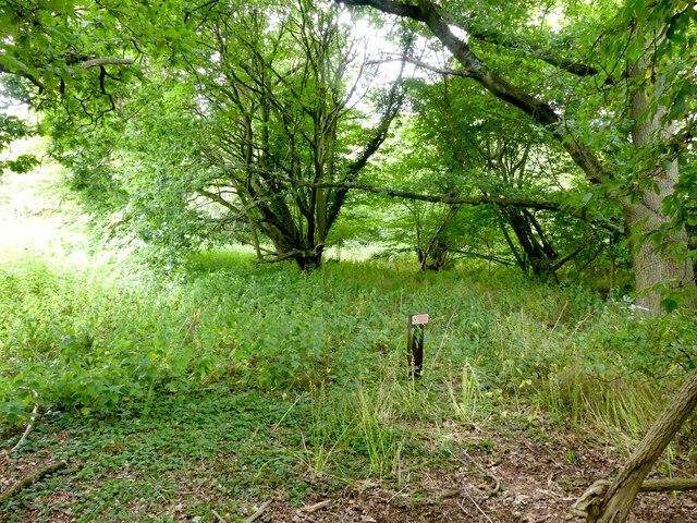
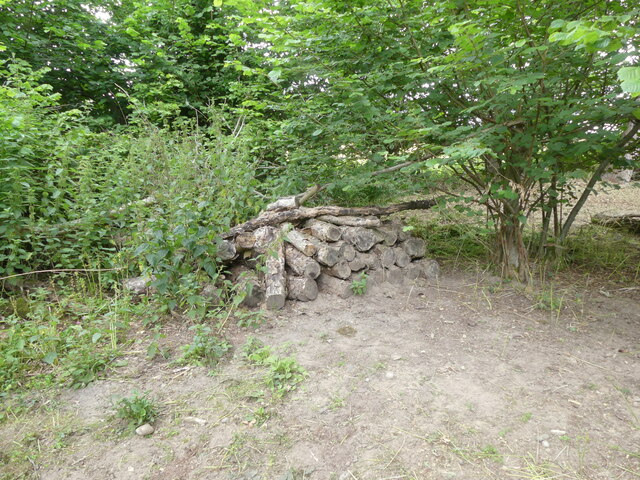
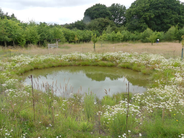
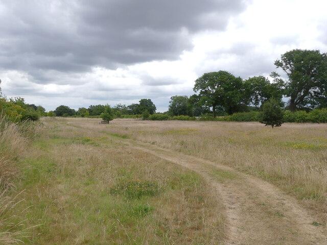
One of the main attractions of Low Common is its stunning forest. The dense woodland consists of a diverse range of trees and serves as a habitat for various plant and animal species. It provides an excellent opportunity for nature enthusiasts to explore and immerse themselves in the beauty of the natural world.
In addition to its natural beauty, Low Common also boasts a rich history. The village has a number of historical landmarks, including a medieval church that dates back several centuries. The church is a testament to the village's long-standing presence and serves as a gathering place for religious ceremonies and community events.
Overall, Low Common, Norfolk (Wood, Forest) is a hidden gem in the heart of England. With its picturesque woodlands, tight-knit community, and rich history, it offers residents and visitors a peaceful retreat from the outside world.
If you have any feedback on the listing, please let us know in the comments section below.
Low Common Images
Images are sourced within 2km of 52.735549/1.2706495 or Grid Reference TG2020. Thanks to Geograph Open Source API. All images are credited.


Low Common is located at Grid Ref: TG2020 (Lat: 52.735549, Lng: 1.2706495)
Administrative County: Norfolk
District: Broadland
Police Authority: Norfolk
What 3 Words
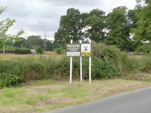
///treetop.callers.info. Near Buxton, Norfolk
Nearby Locations
Related Wikis

St Faith's and Aylsham Rural District
St Faith's and Aylsham Rural Districts were adjacent rural districts in Norfolk, England from 1894 to 1935.They were formed under the Local Government...

Hevingham
Hevingham is a village and civil parish in the Broadland district of the English county of Norfolk. Situated between the A140 road Norwich to Cromer road...

Stratton Strawless
Stratton Strawless is a village in the county of Norfolk and district of Broadland. The civil parish covers 714 acres (289 ha) and has a population of...

Hainford
Hainford (originally Haynford) is a village and civil parish in the English county of Norfolk. It covers an area of 6.94 km2 (2.68 sq mi) and had a population...

Buxton, Norfolk
Buxton is a village in the parish of Buxton with Lamas, in the Broadland district of the county of Norfolk, England. It is located between Norwich and...

Brampton, Norfolk
Brampton is a small village and parish in the county of Norfolk, England, in the Bure Valley, east of Aylsham. == History == Brampton was the subject of...

Buxton Lamas railway station
Buxton Lamas was a railway station in Buxton with Lamas, Norfolk. It was located near the Bure Valley Railway's present Buxton station. == References ==

Bure Valley Path
The Bure Valley Path is a 9-mile (14 km) long walking trail and cycling trail in Norfolk, England. It runs alongside the Bure Valley Railway, a heritage...
Nearby Amenities
Located within 500m of 52.735549,1.2706495Have you been to Low Common?
Leave your review of Low Common below (or comments, questions and feedback).