Mansom Green

Wood, Forest in Norfolk Broadland

England

Mansom Green

The Chequers Public House & Public House sign On Stratton Road 
<span class="nowrap"><a title="https://www.thechequershainford.co.uk/food" rel="nofollow ugc noopener" href="https://www.thechequershainford.co.uk/food">Link</a><img style="margin-left:2px;" alt="External link" title="External link - shift click to open in new window" src="https://s1.geograph.org.uk/img/external.png" width="10" height="10"/></span>
The Chequers Public House & Public House sign Credit: Geographer

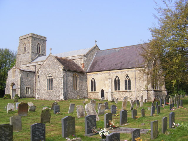
Mansom Green is a small village located in Norfolk, England. Situated in the southern part of the county, Mansom Green is known for its wooded areas and lush forests, providing a scenic and tranquil environment for residents and visitors alike.

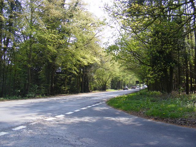
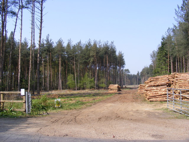
The village is characterized by its charming countryside, with rolling hills and picturesque landscapes surrounding the area. The woodlands in Mansom Green are particularly notable, with a diverse range of tree species including oak, beech, and pine. This abundance of trees has made the village an ideal location for nature enthusiasts and hikers who enjoy exploring the great outdoors.

Despite its small size, Mansom Green has a close-knit community, with residents taking pride in preserving the natural beauty of their surroundings. The village is home to a number of traditional cottages, giving it a quaint and timeless feel.

In terms of amenities, there is a local pub that serves as a social hub for the community, offering a friendly atmosphere and traditional British fare. Additionally, Mansom Green benefits from its proximity to larger towns and cities, with easy access to shopping centers, schools, and healthcare facilities.

Overall, Mansom Green is a hidden gem in Norfolk, offering a peaceful retreat from the hustle and bustle of city life. Its woodlands and forests provide a haven for nature lovers, while the village's community spirit adds to its charm.

If you have any feedback on the listing, please let us know in the comments section below.

Mansom Green Images

Images are sourced within 2km of 52.736041/1.2658266 or Grid Reference TG2020. Thanks to Geograph Open Source API. All images are credited.

The Chequers Public House & Public House sign On Stratton Road 
<span class="nowrap"><a title="https://www.thechequershainford.co.uk/food" rel="nofollow ugc noopener" href="https://www.thechequershainford.co.uk/food">Link</a><img style="margin-left:2px;" alt="External link" title="External link - shift click to open in new window" src="https://s1.geograph.org.uk/img/external.png" width="10" height="10"/></span>
The Chequers Public House & Public House sign
On Stratton Road LinkExternal link
Stratton Road, Waterloo, Hainford Near The Chequers Public House
Stratton Road, Waterloo, Hainford
Near The Chequers Public House
The Chequers Public House sign on Stratton Road <span class="nowrap"><a title="https://www.thechequershainford.co.uk/food" rel="nofollow ugc noopener" href="https://www.thechequershainford.co.uk/food">Link</a><img style="margin-left:2px;" alt="External link" title="External link - shift click to open in new window" src="https://s1.geograph.org.uk/img/external.png" width="10" height="10"/></span>
The Chequers Public House sign on Stratton Road
The Chequers Public House, Hainford On Stratton Road
<span class="nowrap"><a title="https://www.thechequershainford.co.uk/food" rel="nofollow ugc noopener" href="https://www.thechequershainford.co.uk/food">Link</a><img style="margin-left:2px;" alt="External link" title="External link - shift click to open in new window" src="https://s1.geograph.org.uk/img/external.png" width="10" height="10"/></span>
The Chequers Public House, Hainford
On Stratton Road LinkExternal link
Taking up most of the road A tractor and cultivator on a narrow country lane just north of Stratton Strawless, Norfolk
Taking up most of the road
A tractor and cultivator on a narrow country lane just north of Stratton Strawless, Norfolk
St.Botolph's Church, Hevingham Off the A140 Cromer Road
St.Botolph's Church, Hevingham
Off the A140 Cromer Road
St.Botolph's Church, Hevingham Off the A140 Cromer Road
St.Botolph's Church, Hevingham
Off the A140 Cromer Road
St.Botolph's Church, Hevingham Notice Board Off the A140 Cromer Road
St.Botolph's Church, Hevingham Notice Board
Off the A140 Cromer Road
A140 Cromer Road Looking towards Stratton Strawless
A140 Cromer Road
Looking towards Stratton Strawless
Short -Thorn Road & Short -Thorn Road Postbox Looking towards the A140 Cromer Road
Postbox No.NR10 1064
Short -Thorn Road & Short -Thorn Road Postbox
Looking towards the A140 Cromer Road Postbox No.NR10 1064
Short -Thorn Road Postbox On Short-Thorn Road
Postbox No.NR10 1064
Short -Thorn Road Postbox
On Short-Thorn Road Postbox No.NR10 1064
Short -Thorn Road Postbox On Short-Thorn Road
Postbox No.NR10 1064
In the background is a George V Postbox converted to a private residence letterbox
Short -Thorn Road Postbox
On Short-Thorn Road Postbox No.NR10 1064 In the background is a George V Postbox converted to a private residence letterbox
Short -Thorn Road At the junction with Serpentine Lane
Short -Thorn Road
At the junction with Serpentine Lane
Short - Thorn Road At the junction with the A140 Cromer Road
Short - Thorn Road
At the junction with the A140 Cromer Road
Serpentine Lane At the junction with the A140 Cromer Road
Serpentine Lane
At the junction with the A140 Cromer Road
A140 Cromer Road Looking towards Norwich at the junction with Serpentine Lane
A140 Cromer Road
Looking towards Norwich at the junction with Serpentine Lane
Serpentine Lane Looking towards the A140 Cromer Road
Serpentine Lane
Looking towards the A140 Cromer Road
Mansom Plantation Off Short Thorn Road
Mansom Plantation
Off Short Thorn Road
Show me another place!

Mansom Green is located at Grid Ref: TG2020 (Lat: 52.736041, Lng: 1.2658266)

Administrative County: Norfolk

District: Broadland

Police Authority: Norfolk

What 3 Words

///shapeless.checked.deaf. Near Buxton, Norfolk

Related Wikis

St Faith's and Aylsham Rural District

St Faith's and Aylsham Rural Districts were adjacent rural districts in Norfolk, England from 1894 to 1935.They were formed under the Local Government...

Hevingham

Hevingham is a village and civil parish in the Broadland district of the English county of Norfolk. Situated between the A140 road Norwich to Cromer road...

Stratton Strawless

Stratton Strawless is a village in the county of Norfolk and district of Broadland. The civil parish covers 714 acres (289 ha) and has a population of...

Buxton, Norfolk

Buxton is a village in the parish of Buxton with Lamas, in the Broadland district of the county of Norfolk, England. It is located between Norwich and...

Hainford

Hainford (originally Haynford) is a village and civil parish in the English county of Norfolk. It covers an area of 6.94 km2 (2.68 sq mi) and had a population...

Brampton, Norfolk

Brampton is a small village and parish in the county of Norfolk, England, in the Bure Valley, east of Aylsham. == History == Brampton was the subject of...

Buxton Lamas railway station

Buxton Lamas was a railway station in Buxton with Lamas, Norfolk. It was located near the Bure Valley Railway's present Buxton station. == References ==

Bure Valley Path

The Bure Valley Path is a 9-mile (14 km) long walking trail and cycling trail in Norfolk, England. It runs alongside the Bure Valley Railway, a heritage...

Nearby Amenities

Located within 500m of 52.736041,1.2658266
Eastons Depot, adj
Naptan AtcoCode: 2900S551
Naptan Bearing: SW
Naptan BusStopType: CUS
Naptan CommonName: Eastons Depot
Naptan Indicator: adj
Naptan Landmark: Eastons Depot
Naptan Locality: Stratton Strawless
Naptan NaptanCode: nfodwdam
Naptan Street: Parish Road
Naptan Verified: no
Source: naptan_import
Lat/Long: 52.7332547/1.2707649
Parking
Capacity: 6
Fee: no
Parking: surface
Lat/Long: 52.7385549/1.2654485
Barrier: log
Lat/Long: 52.7377295/1.2641613
Man Made: mile_stone
Lat/Long: 52.7344258/1.2691605
Mansom Green
Place: locality
Lat/Long: 52.7367709/1.265711
Note: way contiunes
Lat/Long: 52.7361829/1.2616374
Barrier: log
Lat/Long: 52.7372054/1.2607668
Recycling
Recycling Type: container
Lat/Long: 52.7332611/1.2706885
Colour: grey
Communication Mobile Phone: yes
Man Made: mast
Material: metal
Operator: Three UK;EE
Tower Construction: freestanding
Tower Type: communication
Lat/Long: 52.7349404/1.2689819
Traffic Calming: island
Lat/Long: 52.7333149/1.269703
Traffic Calming: island
Lat/Long: 52.7332659/1.2701886
The data included in this document is from www.openstreetmap.org. The data is made available under ODbL.

Have you been to Mansom Green?

Leave your review of Mansom Green below (or comments, questions and feedback).