Beaumont Hall Covert
Wood, Forest in Suffolk Babergh
England
Beaumont Hall Covert
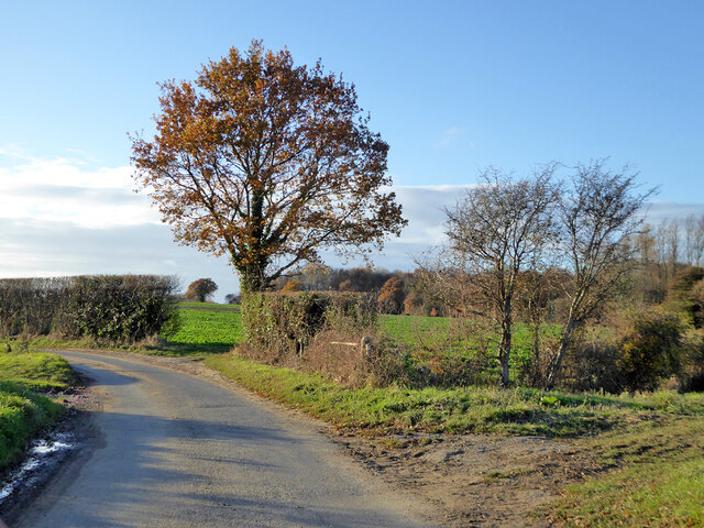
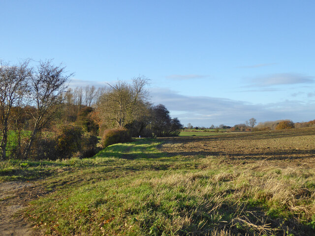
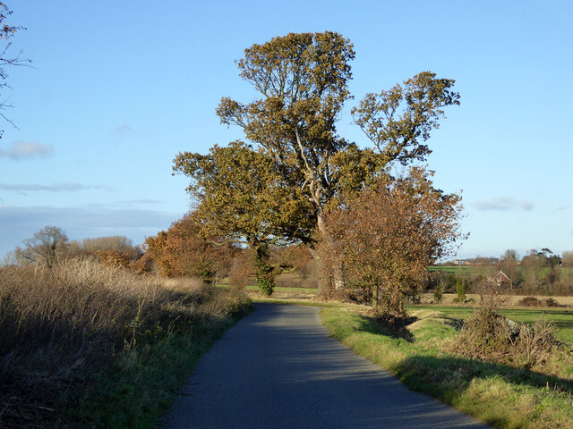
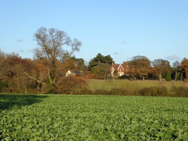
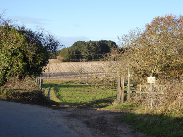
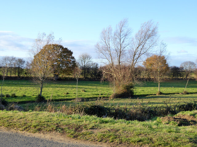
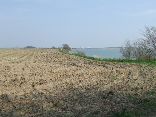
Beaumont Hall Covert is a picturesque woodland located in Suffolk, England. Situated near the town of Woodbridge, the covert covers an area of approximately 200 acres and is a part of the much larger Beaumont Estate. The woodland is a designated Site of Special Scientific Interest (SSSI) due to its ecological significance and diverse range of flora and fauna.
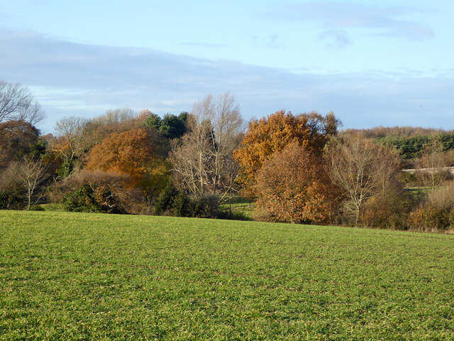
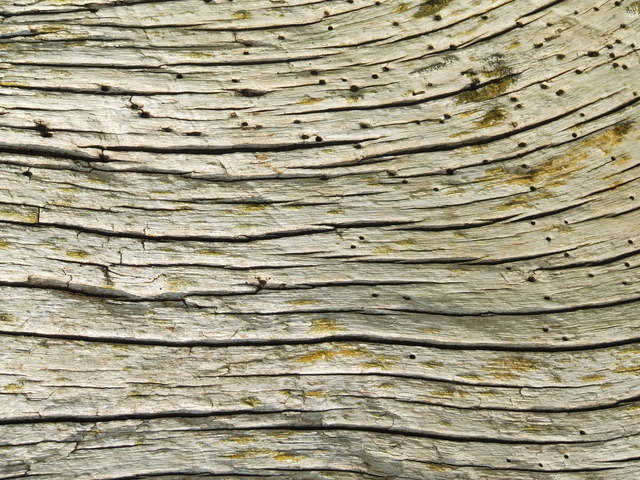
The covert is predominantly composed of mixed deciduous trees, including oak, beech, and birch, which create a beautiful tapestry of colors throughout the year. The dense canopy provides a haven for numerous bird species, such as woodpeckers, owls, and warblers, making it a popular spot for birdwatching enthusiasts.
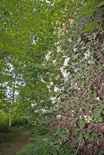
The woodland floor is covered with a rich carpet of wildflowers, including bluebells, primroses, and wood anemones, which bloom in abundance during the springtime, creating a vibrant and enchanting display. The diverse habitat also supports a variety of mammals, including deer, foxes, and badgers, which can often be spotted roaming through the trees.
Beaumont Hall Covert offers several walking trails that meander through the woodland, allowing visitors to explore its natural beauty at their own pace. There are also designated areas for picnicking, making it an ideal destination for a family day out.
Overall, Beaumont Hall Covert is a stunning woodlandscape that offers a tranquil retreat for nature lovers and an opportunity to experience the beauty of Suffolk's countryside.
If you have any feedback on the listing, please let us know in the comments section below.
Beaumont Hall Covert Images
Images are sourced within 2km of 51.959907/1.2089564 or Grid Reference TM2033. Thanks to Geograph Open Source API. All images are credited.
Beaumont Hall Covert is located at Grid Ref: TM2033 (Lat: 51.959907, Lng: 1.2089564)
Administrative County: Suffolk
District: Babergh
Police Authority: Suffolk
What 3 Words
///pokes.weeks.vocals. Near Shotley Gate, Suffolk
Nearby Locations
Related Wikis

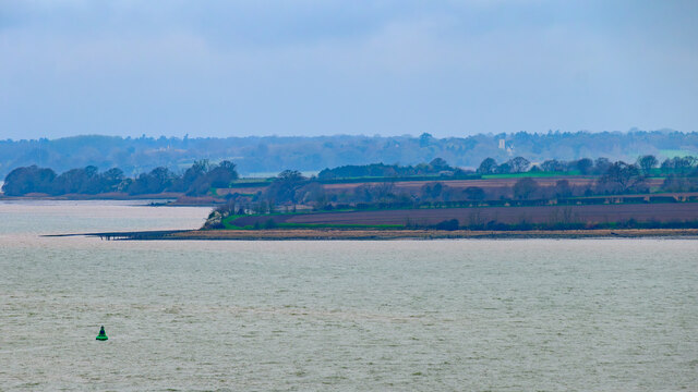
River Stour, Suffolk
The River Stour (, pronounced rhyming with either "tour" or "sour") is a major river in East Anglia, England. It is 47 miles (76 km) long and forms most...

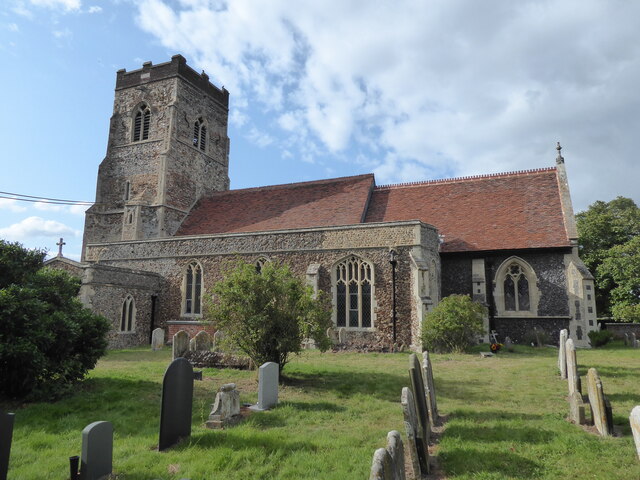
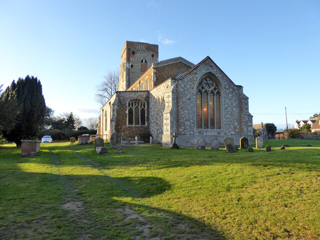
Erwarton
Erwarton or Arwarton is a small village and civil parish in the Babergh district of Suffolk, England. The parish includes the hamlet of Shop Corner. Located...

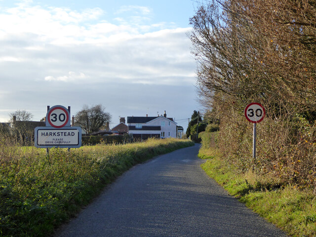
Harkstead
Harkstead is a village and civil parish in the county of Suffolk, England. The village is located on the northern bank of the River Stour estuary at Holbrook...
Copperas Wood
Copperas Wood is a 13.8-hectare (34-acre) nature reserve between Ramsey and Wrabness in Essex. It is owned and managed by the Essex Wildlife Trust, and...
Have you been to Beaumont Hall Covert?
Leave your review of Beaumont Hall Covert below (or comments, questions and feedback).