Johnny All Alone Creek

Sea, Estuary, Creek in Suffolk Babergh

England

Johnny All Alone Creek

Small bridge and bend, lane towards Harkstead
Small bridge and bend, lane towards Harkstead Credit: Robin Webster

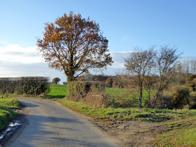
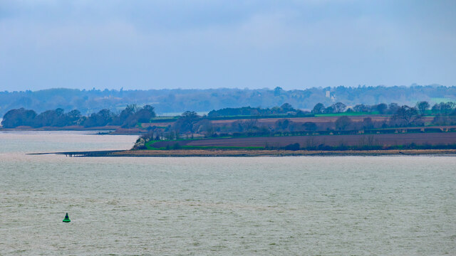
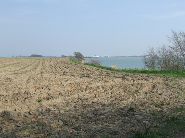
Johnny All Alone Creek is a picturesque waterway located in Suffolk, England. It is a tributary of the sea and serves as an estuary and creek for the surrounding area. The creek gets its name from the solitude and tranquility it offers to visitors.

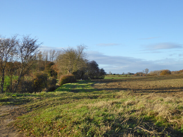
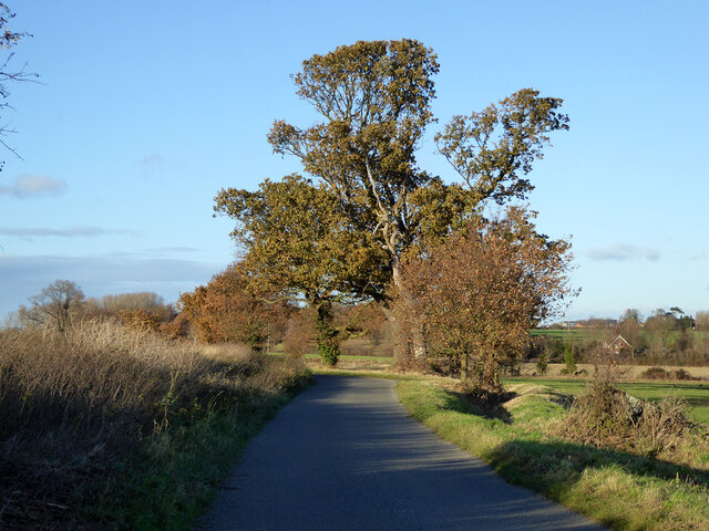
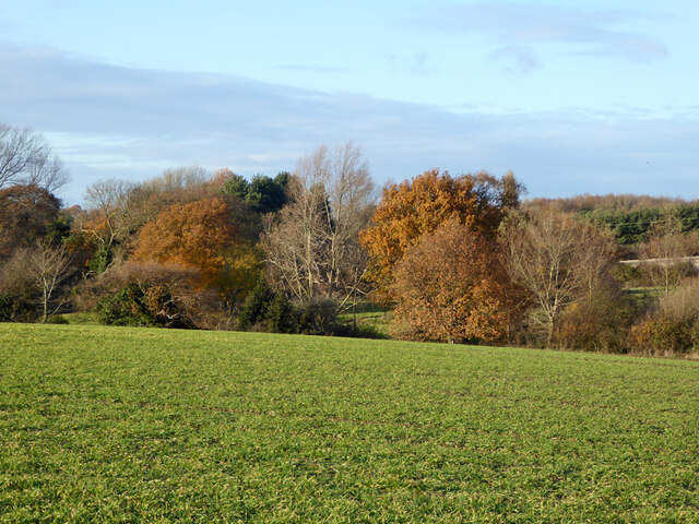
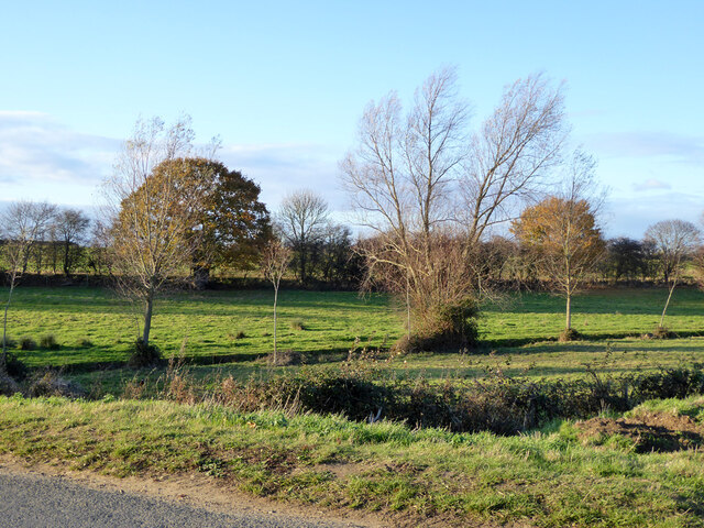
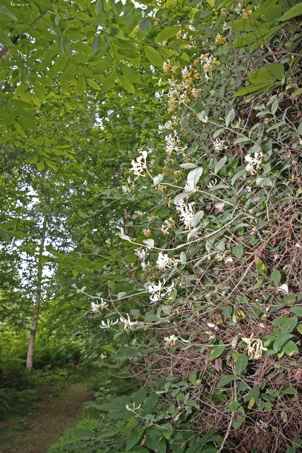
The creek is situated in a rural setting, surrounded by lush greenery and meandering pathways. It is a popular destination for nature enthusiasts, birdwatchers, and those seeking a peaceful retreat. The creek is home to a diverse range of flora and fauna, providing a habitat for various species.

The water in Johnny All Alone Creek is brackish, meaning it is a mix of saltwater and freshwater. This unique combination supports a rich ecosystem, with the creek serving as a nursery for many marine organisms. Additionally, the creek attracts a variety of bird species, including herons, kingfishers, and ducks, making it a paradise for birdwatchers.

Visitors can explore the creek by foot or by boat, with several boat rental services available in the area. The calm waters offer an ideal environment for kayaking and canoeing, allowing visitors to immerse themselves in the natural beauty of the surroundings.

Overall, Johnny All Alone Creek in Suffolk is a hidden gem for nature lovers, offering a serene and idyllic setting for relaxation and exploration. Whether it's the peacefulness of the creek or the diverse wildlife it supports, this waterway offers a truly enchanting experience for all who visit.

If you have any feedback on the listing, please let us know in the comments section below.

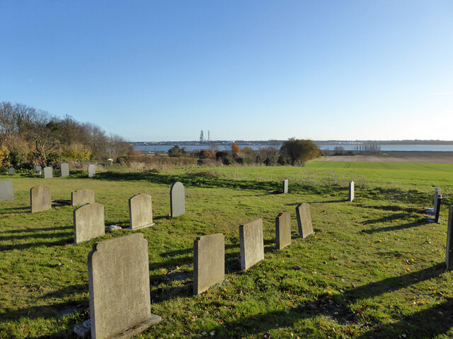
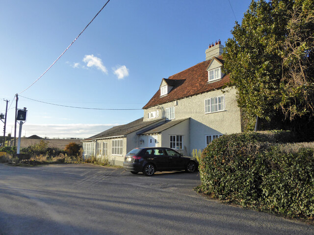
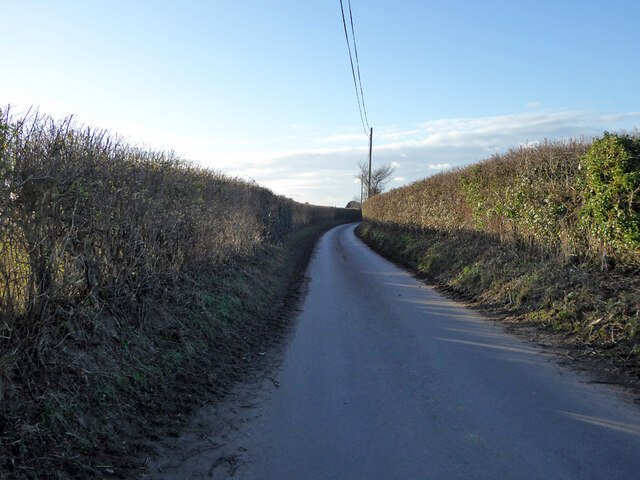
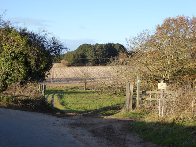
Johnny All Alone Creek Images

Images are sourced within 2km of 51.954535/1.2110326 or Grid Reference TM2033. Thanks to Geograph Open Source API. All images are credited.

Small bridge and bend, lane towards Harkstead
Fields along stream valley Country east of Harkstead.
Fields along stream valley
Country east of Harkstead.
Trees along road towards Harkstead
Erwarton church St. Mary's is a grade I listed building, oldest parts 15th century.
Erwarton church
St. Mary's is a grade I listed building, oldest parts 15th century.
View from Erwarton churchyard Towards Parkeston Quay.
View from Erwarton churchyard
Towards Parkeston Quay.
The Queens Head, Erwarton (closed), 2017 It had been closed for some years, with rumours of reopening from time to time, with no result.  Evidently lived in, however.
The Queens Head, Erwarton (closed), 2017
It had been closed for some years, with rumours of reopening from time to time, with no result. Evidently lived in, however.
Rat Hill towards Shop Corner
Field gateway off Rat Hill Footpaths go straight on and right here.
Field gateway off Rat Hill
Footpaths go straight on and right here.
Late autumn trees Along a stream north of Rat Hill.
Late autumn trees
Along a stream north of Rat Hill.
Small stream valley The stream along this valley drains to Johnny All Alone Creek, on the Stour.
Small stream valley
The stream along this valley drains to Johnny All Alone Creek, on the Stour.
Erwarton Ness
Erwarton Ness
Suffolk Coastal & Heaths Path A small part of the Suffolk Coastal & Heaths Path with the River Stour south of Harkstead Suffolk.
Suffolk Coastal & Heaths Path
A small part of the Suffolk Coastal & Heaths Path with the River Stour south of Harkstead Suffolk.
Drift Wood Closeup of the remains of a tree beached on the shore of the River Stour along with many others washed and bleached by the weather south of Harkstead Suffolk.
Drift Wood
Closeup of the remains of a tree beached on the shore of the River Stour along with many others washed and bleached by the weather south of Harkstead Suffolk.
Side by side, rusting and rotting Laid to rest alongside each other, these two dissimilar objects, one man-made, one natural, are following their parallel paths to dissolution. The salt in the estuarial water is attacking the old pipe while it is possibly delaying the rot of the old trunk. Compare too, the subtleties of Nature's work to the plainness of Man's. (Beyond the decaying couple are the waters of the Stour, 2 hours before high tide.)
Side by side, rusting and rotting
Laid to rest alongside each other, these two dissimilar objects, one man-made, one natural, are following their parallel paths to dissolution. The salt in the estuarial water is attacking the old pipe while it is possibly delaying the rot of the old trunk. Compare too, the subtleties of Nature's work to the plainness of Man's. (Beyond the decaying couple are the waters of the Stour, 2 hours before high tide.)
Hide on the edge of Copperas Bay A quiet and remote spot yet easily walkable from Wrabness station, the facilities, apart from walking trails and a nature reserve is this roofless bird-watching hide.  There was plenty of evidence of waders and other estuarial birds around here.
Hide on the edge of Copperas Bay
A quiet and remote spot yet easily walkable from Wrabness station, the facilities, apart from walking trails and a nature reserve is this roofless bird-watching hide. There was plenty of evidence of waders and other estuarial birds around here.
Shoreline south of Nether Hall As is also the case on the opposite bank, <a href="https://www.geograph.org.uk/photo/646135">TM2031 : Horizontal woodland along the Stour</a>, the northern banks of the Stour are also scattered with fallen trees that once grew nearby.
Shoreline south of Nether Hall
As is also the case on the opposite bank, TM2031 : Horizontal woodland along the Stour, the northern banks of the Stour are also scattered with fallen trees that once grew nearby.
Seaweed-festooned old jetty Heading south from Needle Corner in <a href="https://www.geograph.org.uk/gridref/TM1934">TM1934</a>, past the abandoned Sparrow Hall, you reach the Orwell at this point, where an old jetty stands, long since abandoned.  It is not alone: <a href="https://www.geograph.org.uk/photo/660274">TM2133 : Abandoned jetty at Erwarton Ness</a>, just a little further east.
Seaweed-festooned old jetty
Heading south from Needle Corner in TM1934, past the abandoned Sparrow Hall, you reach the Orwell at this point, where an old jetty stands, long since abandoned. It is not alone: TM2133 : Abandoned jetty at Erwarton Ness, just a little further east.
Fallen soldier by abandoned jetty Lying next to <a href="https://www.geograph.org.uk/photo/661371">TM1933 : Seaweed-festooned old jetty</a>, this long-dead tree has been swung around by the tide to face the opposite direction to the one it presumably faced when it fell from a nearby bank.
Fallen soldier by abandoned jetty
Lying next to TM1933 : Seaweed-festooned old jetty, this long-dead tree has been swung around by the tide to face the opposite direction to the one it presumably faced when it fell from a nearby bank.
Show me another place!

Johnny All Alone Creek is located at Grid Ref: TM2033 (Lat: 51.954535, Lng: 1.2110326)

Administrative County: Suffolk

District: Babergh

Police Authority: Suffolk

What 3 Words

///micro.doted.piled. Near Shotley Gate, Suffolk

Related Wikis

River Stour, Suffolk

The River Stour (, pronounced rhyming with either "tour" or "sour") is a major river in East Anglia, England. It is 47 miles (76 km) long and forms most...

Erwarton

Erwarton or Arwarton is a small village and civil parish in the Babergh district of Suffolk, England. The parish includes the hamlet of Shop Corner. Located...

Copperas Wood

Copperas Wood is a 13.8-hectare (34-acre) nature reserve between Ramsey and Wrabness in Essex. It is owned and managed by the Essex Wildlife Trust, and...

Harwich refinery

Harwich refinery is a 500,000 tonnes per year refining, processing, blending and storage facility near the port of Harwich in the UK. The refinery was...

Have you been to Johnny All Alone Creek?

Leave your review of Johnny All Alone Creek below (or comments, questions and feedback).