Raibet Hill

Hill, Mountain in Aberdeenshire

Scotland

Raibet Hill

Cottages at Coynachie An old whitewashed cottage and a more recent one just off the road approaching Coynachie.
Cottages at Coynachie Credit: Anne Burgess

Raibet Hill is a prominent geographical feature located in Aberdeenshire, Scotland. Standing at an elevation of approximately 530 meters (1,740 feet), it is classified as a hill rather than a mountain. The hill is situated about 6 kilometers (3.7 miles) southwest of the town of Turriff.

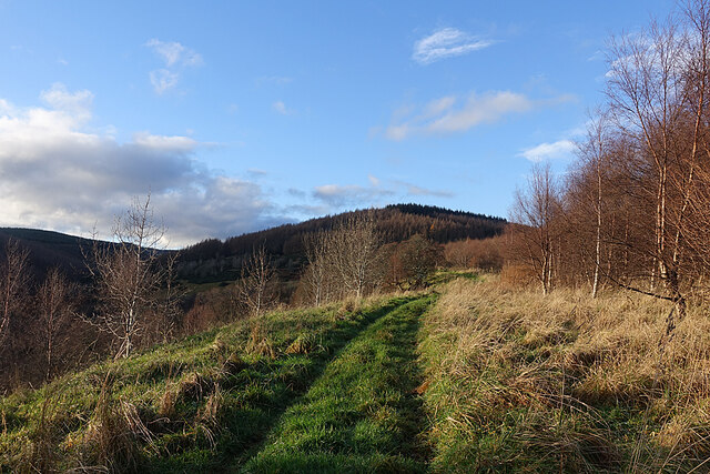
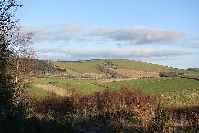
Raibet Hill is characterized by its distinctive rounded shape and gentle slopes, making it relatively accessible for hikers and outdoor enthusiasts. Its summit offers breathtaking panoramic views of the surrounding countryside, including the rolling hills and lush green farmland that define the Aberdeenshire landscape.

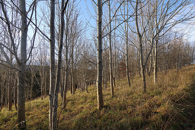
The hill is covered in a mix of heather, grasses, and some scattered shrubs, providing a habitat for various species of wildlife. Birdwatchers may spot several species of birds, including grouse and raptors, soaring above the hill's slopes.

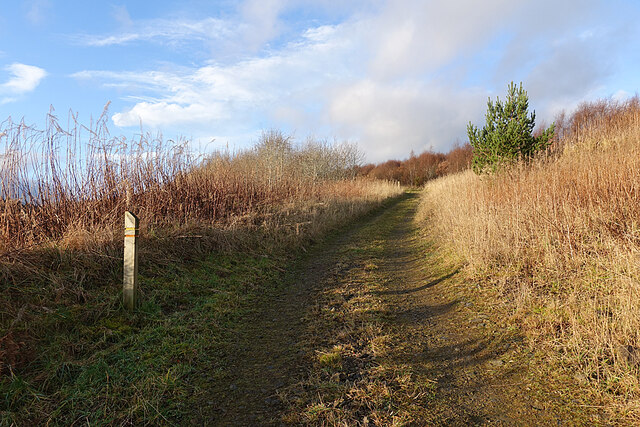
Raibet Hill is a popular destination for outdoor activities such as hillwalking, hiking, and nature exploration. Several well-marked trails and footpaths traverse the hill, allowing visitors to explore its diverse flora and fauna. It is also a great spot for photography, as the changing seasons transform the landscape with vibrant colors.

Despite its relatively modest height, Raibet Hill offers a rewarding and picturesque experience for those seeking a scenic adventure in Aberdeenshire. Its accessibility, natural beauty, and stunning vistas make it a favorite destination for both locals and tourists alike.

If you have any feedback on the listing, please let us know in the comments section below.
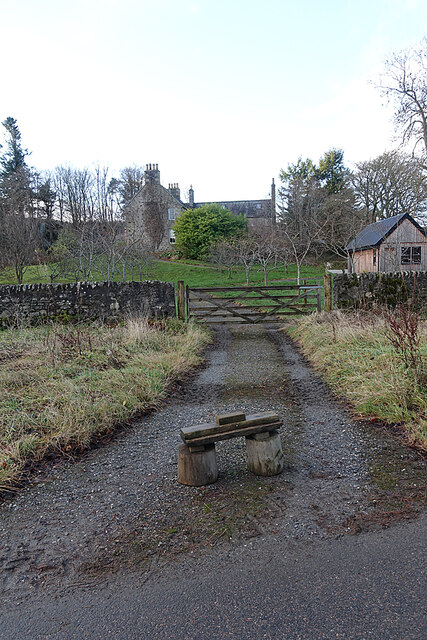
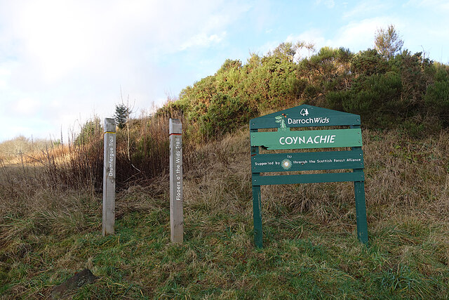
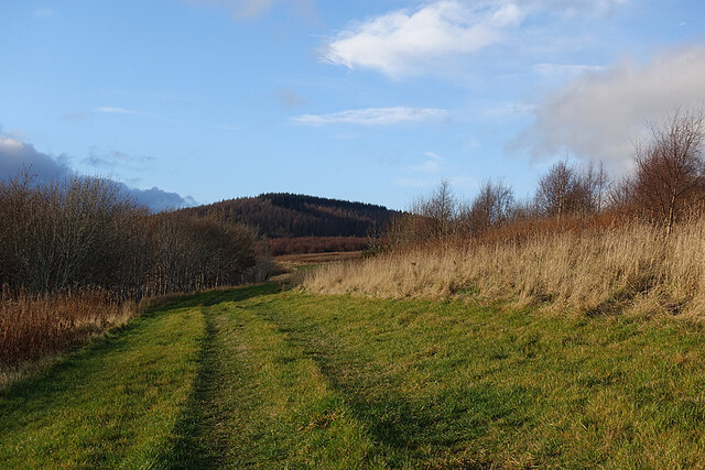
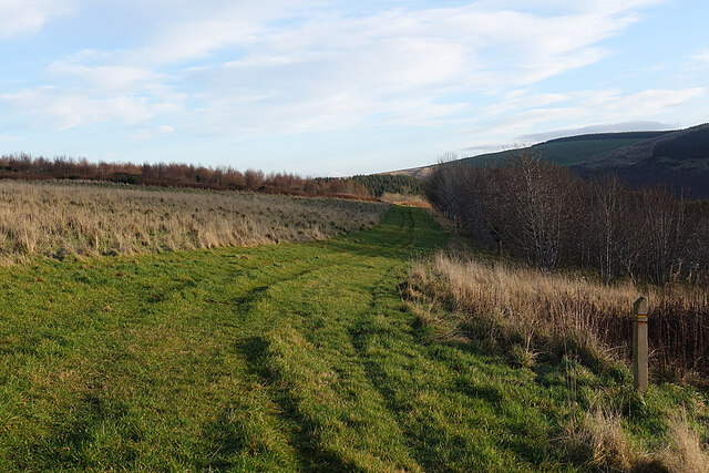
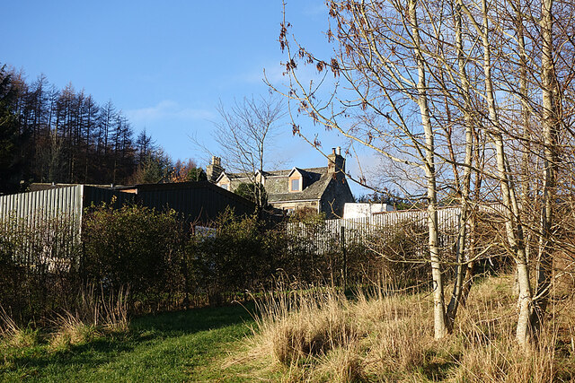
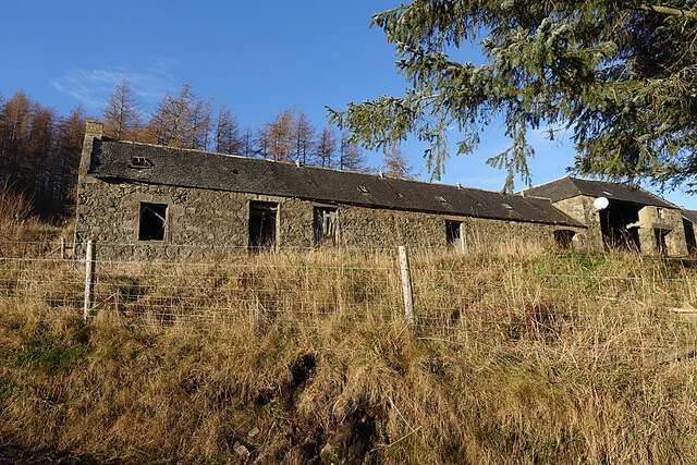
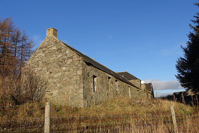
Raibet Hill Images

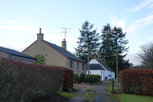
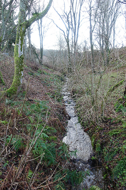
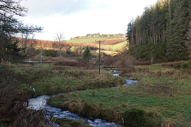
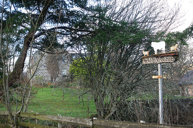
Images are sourced within 2km of 57.389942/-2.8719082 or Grid Reference NJ4733. Thanks to Geograph Open Source API. All images are credited.

Cottages at Coynachie An old whitewashed cottage and a more recent one just off the road approaching Coynachie.
Cottages at Coynachie
An old whitewashed cottage and a more recent one just off the road approaching Coynachie.
Burn of Glack-en-tore One of those burns that are only seen in winter when the vegetation is mostly absent.
Burn of Glack-en-tore
One of those burns that are only seen in winter when the vegetation is mostly absent.
Ness Bogie The burn here is called the Ness Bogie. It eventaully joins the River Bogie just below the Nessbogie Bridge. Here, at Coynachie, is a footbridge beside a ford on the track leading to fields on Bar Hill.
Ness Bogie
The burn here is called the Ness Bogie. It eventaully joins the River Bogie just below the Nessbogie Bridge. Here, at Coynachie, is a footbridge beside a ford on the track leading to fields on Bar Hill.
Coynachie There's a fine example of a traditional stone farm house at Coynachie, but it's difficult to photograph because of trees. The farm sign features some of the livestock.
Coynachie
There's a fine example of a traditional stone farm house at Coynachie, but it's difficult to photograph because of trees. The farm sign features some of the livestock.
Driveway to Coynachie Farm House We assume that the wooden dolmen-like structure is to discourage obstructing the driveway by parking. There is a forestry car park only a few tens of metres away.
Driveway to Coynachie Farm House
We assume that the wooden dolmen-like structure is to discourage obstructing the driveway by parking. There is a forestry car park only a few tens of metres away.
Darroch Wids at Coynachie The sign is in the style of Forestry Commission signs, and bears the FC logo, but makes no reference to the FC. There are two walking loops, one called the Flooers o' the Wids Trail and the other the Drumfergue Trail. We opted for the Drumfergue Trail which parallels the road, because the road was still in the shade and we expected the trail to be in the sunshine, which it was.
Darroch Wids at Coynachie
The sign is in the style of Forestry Commission signs, and bears the FC logo, but makes no reference to the FC. There are two walking loops, one called the Flooers o' the Wids Trail and the other the Drumfergue Trail. We opted for the Drumfergue Trail which parallels the road, because the road was still in the shade and we expected the trail to be in the sunshine, which it was.
Trails on the Drum Two trails, one waymarked in red and one in yellow, follow the track through the strip of woodland on The Drum. The name is from Gaelic 'druim' which means a ridge, and that fits the topography perfectly.
Trails on the Drum
Two trails, one waymarked in red and one in yellow, follow the track through the strip of woodland on The Drum. The name is from Gaelic 'druim' which means a ridge, and that fits the topography perfectly.
Leafless Trees A plantation of young deciduous trees stands between the road and the path on The Drum. I think some are beech and ash but a summer visit would be needed to check.
Leafless Trees
A plantation of young deciduous trees stands between the road and the path on The Drum. I think some are beech and ash but a summer visit would be needed to check.
Grass Track The grass track on the south slope of The Drum, looking towards the Hill of Drumfergue.
Grass Track
The grass track on the south slope of The Drum, looking towards the Hill of Drumfergue.
Grass Track on The Drum On the right is the waymarker for the two short trails on The Drum.
Grass Track on The Drum
On the right is the waymarker for the two short trails on The Drum.
Trails on the Drum The trails on The Drum climb gently towards the forested Hill of Drumfergue.
Trails on the Drum
The trails on The Drum climb gently towards the forested Hill of Drumfergue.
Track on The Drum Looking back downhill on the waymarked grassy track. The road is in the shade below to the right, so we were glad to have come across the sunny off-road option.
Track on The Drum
Looking back downhill on the waymarked grassy track. The road is in the shade below to the right, so we were glad to have come across the sunny off-road option.
Woods on The Drum This looks like another stand of young deciduous trees planted beside the track as it approaches Drumfergue.
Woods on The Drum
This looks like another stand of young deciduous trees planted beside the track as it approaches Drumfergue.
Drumfergue This is the last farm before the end of the public road and the entrance to the forest. The grassy strip is the route of the waymarked Drumfergue Trail, which turns and descends back to the car park on the otehr side of The Drum.
Drumfergue
This is the last farm before the end of the public road and the entrance to the forest. The grassy strip is the route of the waymarked Drumfergue Trail, which turns and descends back to the car park on the otehr side of The Drum.
Sign at Drumfergue I thought I heard the screech of a falcon as we approached Drumfergue, and the sign, showing a falconer, seems to confirm that this was indeed what I heard.
Sign at Drumfergue
I thought I heard the screech of a falcon as we approached Drumfergue, and the sign, showing a falconer, seems to confirm that this was indeed what I heard.
Steading at Drumfergue Despite sporting a satellite dish and (not visible in this view) a letterbox, the long range of buildings at Drumfergue is obviously disused.
Steading at Drumfergue
Despite sporting a satellite dish and (not visible in this view) a letterbox, the long range of buildings at Drumfergue is obviously disused.
Steading at Drumfergue An end-on view of the abandoned steading, complete with satellite dish.
Steading at Drumfergue
An end-on view of the abandoned steading, complete with satellite dish.
View from above Drumfergue The treeless hilltop is the Hill of Bogairdy, and I think the white building is Whitestones. The road with the bend just above the foreground trees leads down to Easter Tillathrowie, which is concealed by the trees.
View from above Drumfergue
The treeless hilltop is the Hill of Bogairdy, and I think the white building is Whitestones. The road with the bend just above the foreground trees leads down to Easter Tillathrowie, which is concealed by the trees.
Show me another place!

Raibet Hill is located at Grid Ref: NJ4733 (Lat: 57.389942, Lng: -2.8719082)

Unitary Authority: Aberdeenshire

Police Authority: North East

What 3 Words

///inventors.pens.organisms. Near Huntly, Aberdeenshire

Related Wikis

Kye Hill

Kye Hill is a hill by Huntly, Aberdeenshire, Scotland. It lies southwest of The Clashmach hill and is nearly the same height. There is a former limestone...

Strathbogie, Scotland

Strathbogie (Scottish Gaelic: Srath Bhalgaidh) is the valley of the River Bogie in Aberdeenshire, Scotland. It was formerly a lordship belonging to the...

Wormy Hillock Henge

Wormy Hillock Henge, also known as The Dragon's Grave, is a small henge in Aberdeenshire, Scotland. It is a Scheduled Ancient Monument located in the Clashindarroch...

Tap o' Noth

The Tap o' Noth is a hill and the name of a Pictish hill fort on its summit, 8 miles south of Huntly in Aberdeenshire, Scotland at grid reference NJ485293...

Have you been to Raibet Hill?

Leave your review of Raibet Hill below (or comments, questions and feedback).