Roughside Hill

Hill, Mountain in Roxburghshire

Scotland

Roughside Hill

Borders Abbeys  Way  approaching  gate  and  fingerpost Through gate and head for forestry. This is also the route of the Cross Borders Drove Road
Borders Abbeys Way approaching gate and fingerpost Credit: Martin Dawes

Roughside Hill is a prominent landmark located in Roxburghshire, a county in the Scottish Borders region of Scotland. Standing at an impressive height of 485 meters (1,591 feet), it is classified as a hill rather than a mountain.

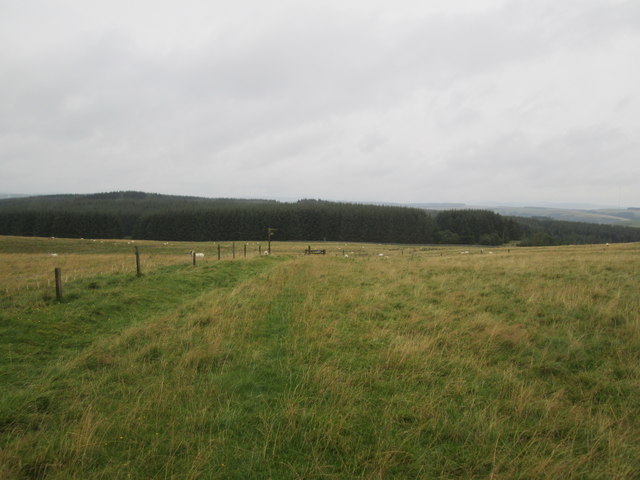
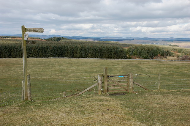
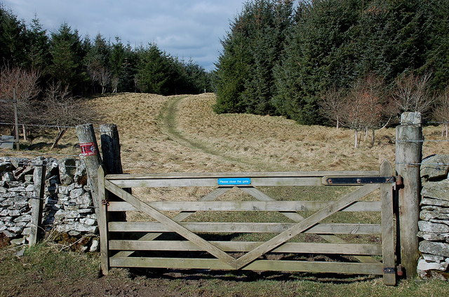
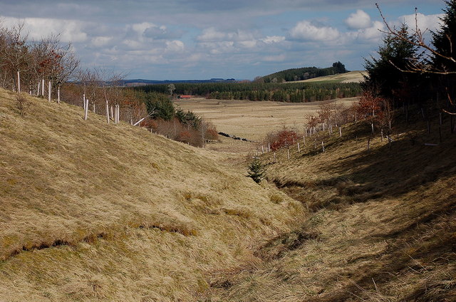
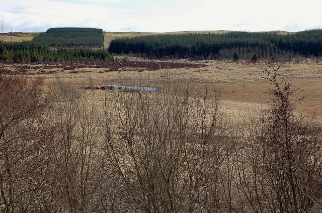
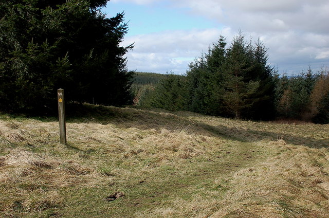
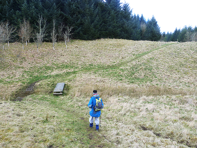
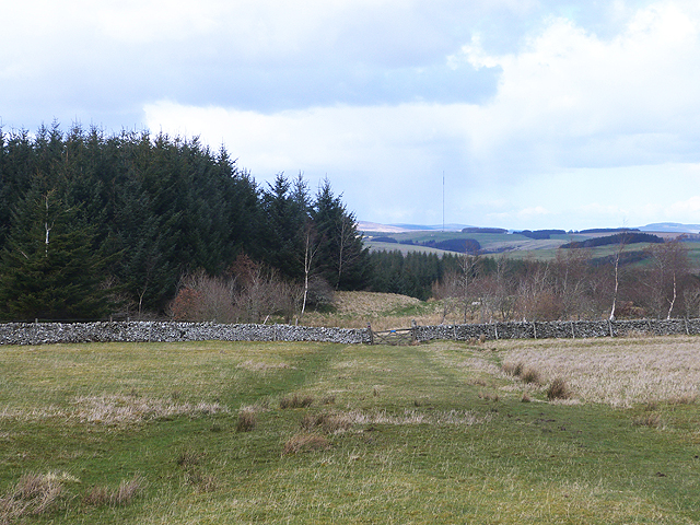
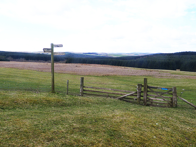
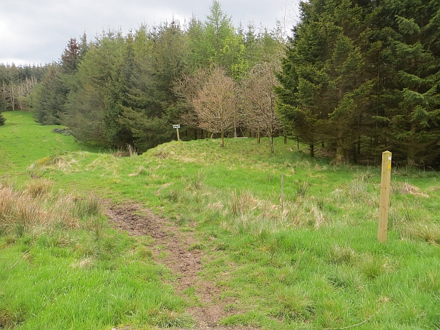
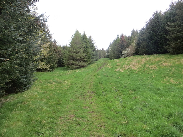
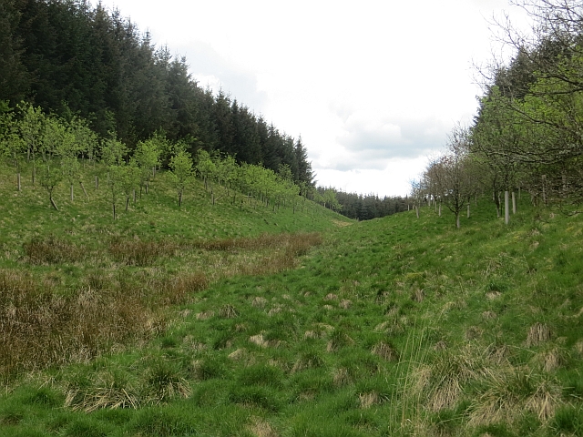
Situated near the village of Morebattle, Roughside Hill offers breathtaking panoramic views of the surrounding countryside. Its distinctive shape and steep slopes make it a favorite destination for hikers, nature enthusiasts, and photographers alike. The hill is accessible via well-maintained footpaths that wind their way through picturesque farmland and wooded areas, providing visitors with an enjoyable and scenic route to the summit.

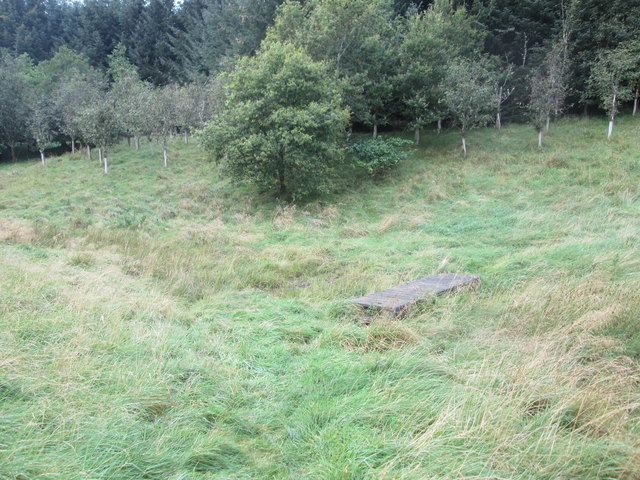
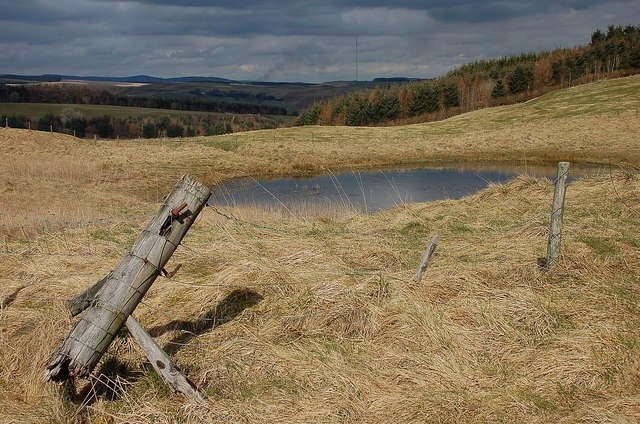
The hill's terrain is characterized by a mixture of heather moorland, grassy slopes, and patches of dense woodland. The diverse vegetation supports a wide array of flora and fauna, including species such as red grouse, short-eared owls, and various wildflowers. In the spring and summer months, the hill comes alive with vibrant colors as wildflowers bloom across its slopes.

Roughside Hill also holds historical significance, with remnants of ancient settlements and fortifications scattered across its landscape. These archaeological remains provide valuable insights into the area's past, attracting history enthusiasts and researchers.

Overall, Roughside Hill is a natural gem in Roxburghshire, offering visitors the opportunity to immerse themselves in the region's stunning beauty, explore its rich history, and enjoy the tranquility of the Scottish countryside.

If you have any feedback on the listing, please let us know in the comments section below.

Roughside Hill Images

Images are sourced within 2km of 55.477413/-2.8292208 or Grid Reference NT4720. Thanks to Geograph Open Source API. All images are credited.

Borders Abbeys  Way  approaching  gate  and  fingerpost Through gate and head for forestry. This is also the route of the Cross Borders Drove Road
Borders Abbeys Way approaching gate and fingerpost
Through gate and head for forestry. This is also the route of the Cross Borders Drove Road
Footbridge  over  stream  in  Falla  Cleuch
Footbridge over stream in Falla Cleuch
Borders  Abbeys  Way  in  Ashkirk  Forest
Borders Abbeys Way in Ashkirk Forest
Pond  and  newly  resurfaced  forest  track Constant traffic, large stone carrying lorries
Pond and newly resurfaced forest track
Constant traffic, large stone carrying lorries
Borders Abbeys Way north of Drinkstone Hill The Way continues ahead through the forestry plantation, while the Hawick Circular Riding Route swings right.
Borders Abbeys Way north of Drinkstone Hill
The Way continues ahead through the forestry plantation, while the Hawick Circular Riding Route swings right.
Gate into the forest, Borders Abbeys Way This forest is not given a name on the 1:25,000 map, but extends north to Ashkirk Hill overlooking the Ale Water.
Gate into the forest, Borders Abbeys Way
This forest is not given a name on the 1:25,000 map, but extends north to Ashkirk Hill overlooking the Ale Water.
Falla Cleuch A small valley with the margins of the burn left unplanted apart from some broadleaved trees.
Falla Cleuch
A small valley with the margins of the burn left unplanted apart from some broadleaved trees.
Ashkirk Loch The area of water is much smaller than indicated on the 1:25,000 map.
Ashkirk Loch
The area of water is much smaller than indicated on the 1:25,000 map.
Borders Abbeys Way, Ashkirk Forest Easy walking through this mature plantation.
Borders Abbeys Way, Ashkirk Forest
Easy walking through this mature plantation.
Pond by the forest track, Ashkirk Hill On the Borders Abbeys Way before the descent to the Ale Water. The TV transmitter mast near the A7 is in view ahead.
Pond by the forest track, Ashkirk Hill
On the Borders Abbeys Way before the descent to the Ale Water. The TV transmitter mast near the A7 is in view ahead.
A small pond on Ashkirk Hill
Border Abbeys Way on Ashkirk Hill This path forms part of the Border Abbeys Way, a circular long-distance walking route in the Scottish Borders.  A little snow still lingers in shady corners of the plantation.
Border Abbeys Way on Ashkirk Hill
This path forms part of the Border Abbeys Way, a circular long-distance walking route in the Scottish Borders. A little snow still lingers in shady corners of the plantation.
Falla Cleuch The path forms part of the Border Abbeys Way, a circular long-distance walking route in the Scottish Borders, here crossing Falla Cleuch by a plank footbridge.
Falla Cleuch
The path forms part of the Border Abbeys Way, a circular long-distance walking route in the Scottish Borders, here crossing Falla Cleuch by a plank footbridge.
Border Abbeys Way This path forms part of the Border Abbeys Way, a circular long-distance walking route in the Scottish Borders. Here it leaves open pasture and enters extensive plantations before descending to Ashkirk. On the skyline is the Ashkirk Transmitter mast  <a href="https://www.geograph.org.uk/gridref/NT4624">NT4624</a>, 229 metres high on top of a 303 metre high hill. It transmits FM Radio to the Scottish Borders.
Border Abbeys Way
This path forms part of the Border Abbeys Way, a circular long-distance walking route in the Scottish Borders. Here it leaves open pasture and enters extensive plantations before descending to Ashkirk. On the skyline is the Ashkirk Transmitter mast NT4624, 229 metres high on top of a 303 metre high hill. It transmits FM Radio to the Scottish Borders.
Signpost and gate on the Border Abbeys Way The Border Abbeys Way, a circular long-distance walking route in the Scottish Borders is straight ahead. The Dawyck Riding Route is to the right.
Signpost and gate on the Border Abbeys Way
The Border Abbeys Way, a circular long-distance walking route in the Scottish Borders is straight ahead. The Dawyck Riding Route is to the right.
Ride, Ashkirk Hill A well used path which is waymarked as part of the Border Abbeys Way. It is also popular with horse riders and with the common riding season upon us, there was plenty of evidence of recent use.
Ride, Ashkirk Hill
A well used path which is waymarked as part of the Border Abbeys Way. It is also popular with horse riders and with the common riding season upon us, there was plenty of evidence of recent use.
Ride, Ashkirk Hill A well used path which is waymarked as part of the Border Abbeys Way. It is also popular with horse riders and with the common riding season upon us, there was plenty of evidence of recent use.c
Ride, Ashkirk Hill
A well used path which is waymarked as part of the Border Abbeys Way. It is also popular with horse riders and with the common riding season upon us, there was plenty of evidence of recent use.c
Falla Cleuch The conifers were not planted up to the watercourse in line with current practice.
Falla Cleuch
The conifers were not planted up to the watercourse in line with current practice.
Show me another place!

Roughside Hill is located at Grid Ref: NT4720 (Lat: 55.477413, Lng: -2.8292208)

Unitary Authority: The Scottish Borders

Police Authority: The Lothians and Scottish Borders

What 3 Words

///breeding.spirits.sculpting. Near Hawick, Scottish Borders

Related Wikis

Ashkirk

Ashkirk is a small village on the Ale Water, in the Scottish Borders area of Scotland. It is located just off the A7 road, approximately 6 miles (10 kilometres...

Salenside

Salenside is a village off the A7, on the Ale Water, near Ashkirk, in the Scottish Borders area of Scotland, in the former Selkirkshire. There was a Salenside...

Woll

Woll is a village on the Ale Water, off the A7, in the Ettrick Forest, north of Hawick, and south of Selkirk in the Scottish Borders area of Scotland....

Bowismiln

Bowismiln is a village in the Scottish Borders area of Scotland. == See also == List of places in the Scottish Borders List of places in Scotland ��2...

Nearby Amenities

Located within 500m of 55.477413,-2.8292208
Natural: peak
Lat/Long: 55.4774938/-2.8290626
Power: pole
Lat/Long: 55.4813749/-2.826202
Power: pole
Lat/Long: 55.4806775/-2.8252313
Power: pole
Lat/Long: 55.479996/-2.8242888
Power: pole
Lat/Long: 55.4792999/-2.8233335
Power: pole
Lat/Long: 55.4786112/-2.8223988
The data included in this document is from www.openstreetmap.org. The data is made available under ODbL.

Have you been to Roughside Hill?

Leave your review of Roughside Hill below (or comments, questions and feedback).