Ide Hill

Settlement in Kent Sevenoaks

England

Ide Hill

Emmetts The House at Emmetts is private, but the gardens are National Trust.  Towards East of gridsquare.
Emmetts Credit: Chris Shaw

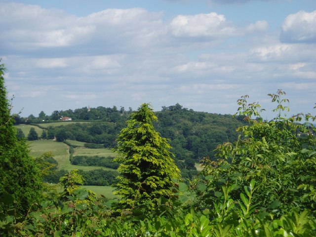
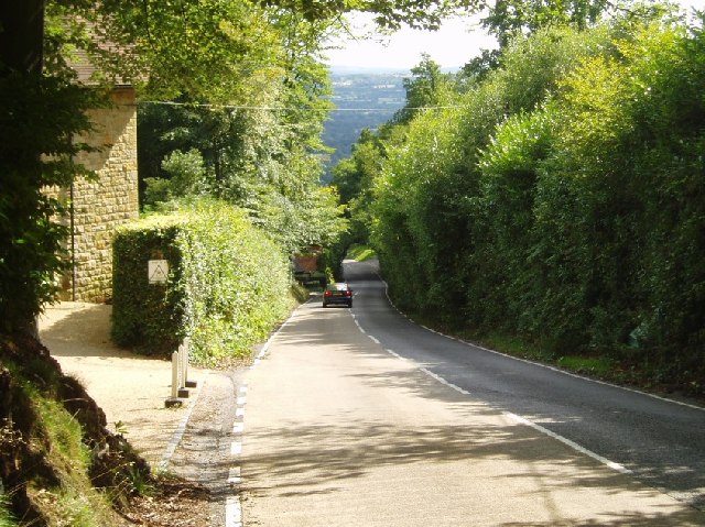
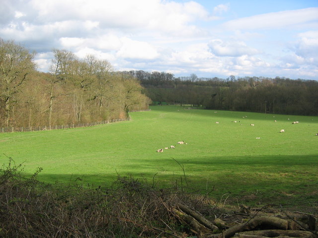
Ide Hill is a picturesque village located in the Sevenoaks District of Kent, England. Situated on the Greensand Ridge, it offers stunning views of the surrounding countryside and is renowned for its natural beauty. The village is nestled within an Area of Outstanding Natural Beauty, making it a popular destination for outdoor enthusiasts and nature lovers.

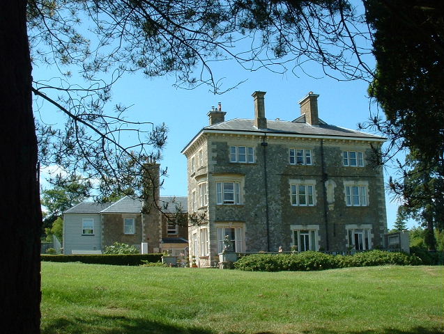
One of the defining features of Ide Hill is its proximity to Emmetts Garden, a renowned National Trust property. This well-preserved hillside garden showcases an impressive collection of exotic trees and shrubs, providing visitors with a tranquil retreat. The village itself is also home to a number of charming cottages and historic buildings, adding to its traditional and idyllic atmosphere.

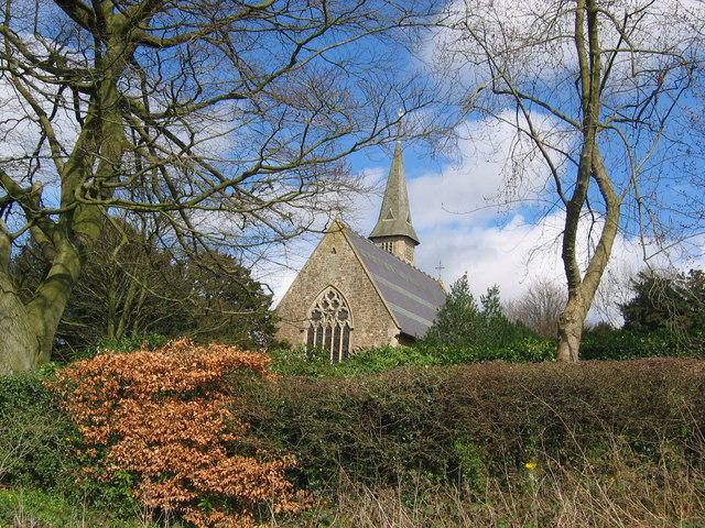
In addition to its natural and architectural beauty, Ide Hill boasts a strong sense of community. The village has a local church, village hall, and a well-regarded primary school, providing a hub for social activities and events. The community often organizes festivals, fairs, and other gatherings to bring residents together and foster a sense of belonging.

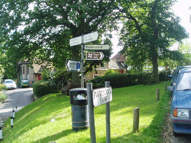
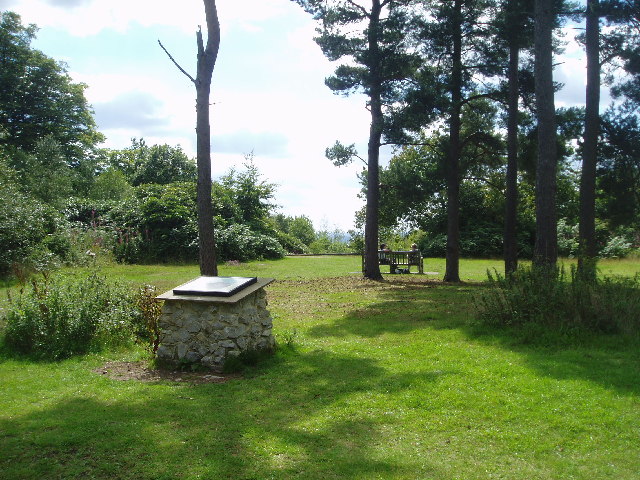
For those seeking outdoor adventures, Ide Hill offers a range of walking and cycling opportunities. The area is crisscrossed with footpaths and bridleways that lead to nearby attractions such as Bough Beech Reservoir and the nearby villages of Toys Hill and Chartwell.

Overall, Ide Hill is a charming and vibrant village that combines natural beauty, a strong community spirit, and a rich cultural heritage, making it a truly special place to visit or call home in the heart of Kent.

If you have any feedback on the listing, please let us know in the comments section below.
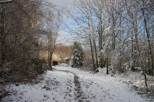
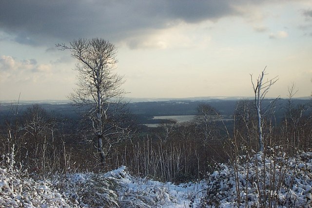
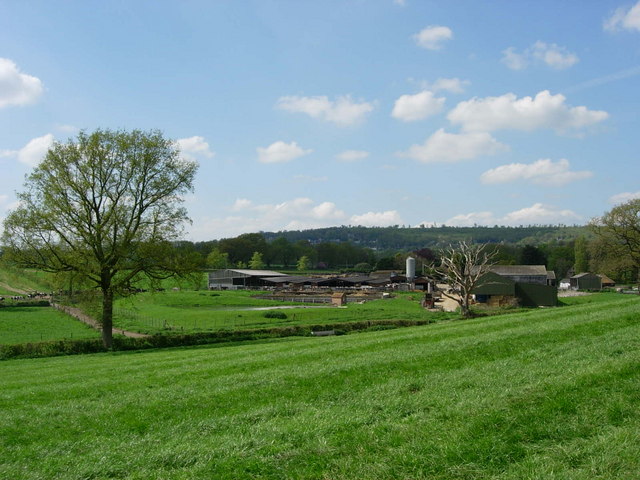
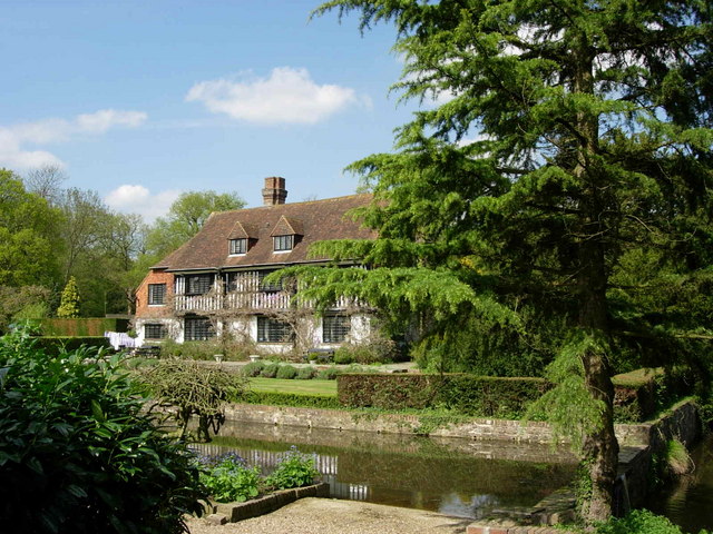
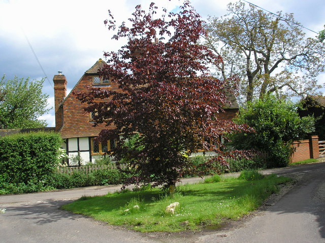
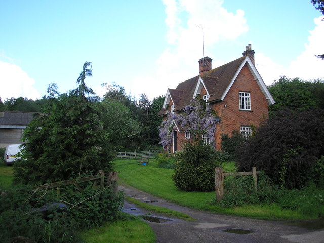
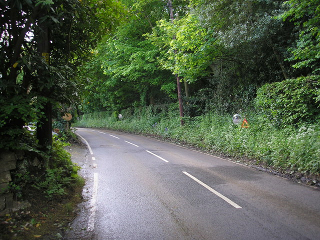
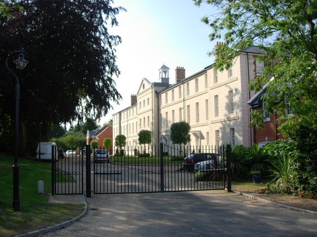
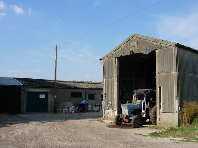
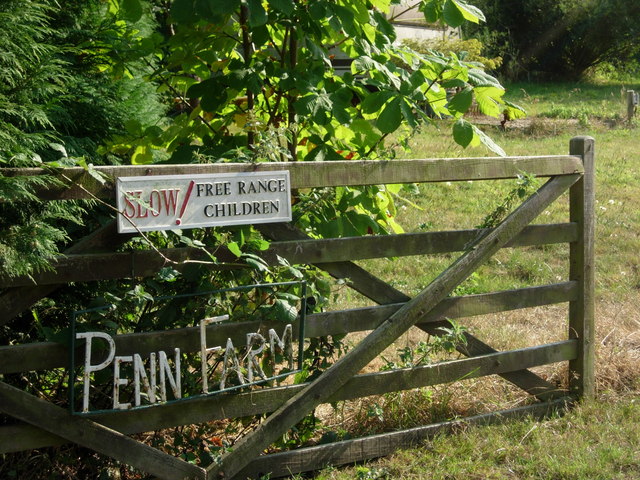
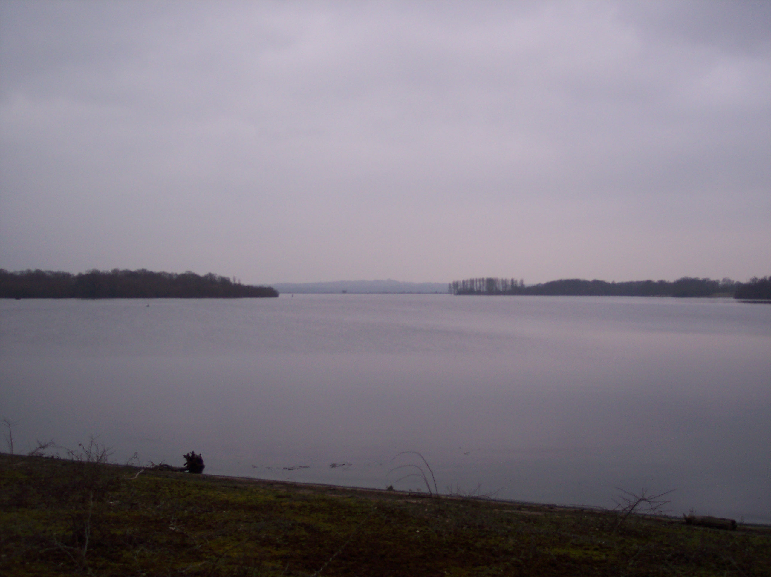
Ide Hill Images

Images are sourced within 2km of 51.245758/0.124096 or Grid Reference TQ4851. Thanks to Geograph Open Source API. All images are credited.

Emmetts The House at Emmetts is private, but the gardens are National Trust.  Towards East of gridsquare.
Emmetts
The House at Emmetts is private, but the gardens are National Trust. Towards East of gridsquare.
Toys Hill signs On the corner of Puddledock Lane and Toys Hill Lane and close to several footpaths
Toys Hill signs
On the corner of Puddledock Lane and Toys Hill Lane and close to several footpaths
Looking towards Ide Hill From Toys Hill you can get some views to the East towards Ide Hill. The spire of Ide Hill church is just visible.
Looking towards Ide Hill
From Toys Hill you can get some views to the East towards Ide Hill. The spire of Ide Hill church is just visible.
Toys Hill - site of Weardale Manor At the top of Toys Hill was sited a very grand house built in 1906 for Lord and Lady Weardale and used by them as their summer home. It had commanding views but sadly fell into neglect and was bequeathed to the National Trust and the land flattened. There are a number of footpaths around this spot. Unfortunately the beautiful views are mainly hidden due to the trees and vegetation.
Toys Hill - site of Weardale Manor
At the top of Toys Hill was sited a very grand house built in 1906 for Lord and Lady Weardale and used by them as their summer home. It had commanding views but sadly fell into neglect and was bequeathed to the National Trust and the land flattened. There are a number of footpaths around this spot. Unfortunately the beautiful views are mainly hidden due to the trees and vegetation.
Toys Hill - the road south towards Four Elms The overhanging trees make an arch
Toys Hill - the road south towards Four Elms
The overhanging trees make an arch
Tanhouse Wood and Fields - Toys Hill This area consists of woodlands interdispersed with farmland. Tanhouse Wood can be seen along the left boundary of this photograph.
Tanhouse Wood and Fields - Toys Hill
This area consists of woodlands interdispersed with farmland. Tanhouse Wood can be seen along the left boundary of this photograph.
Goathurst Common Well Prior to the sinking of the well in 1901, villagers used water from rainwater storage tanks. When these ran dry, villagers had to walk down a steep hill to the springs south of Stubbs Woods, to collect their water. Piped water was brought to the area during the 1920s.
Goathurst Common Well
Prior to the sinking of the well in 1901, villagers used water from rainwater storage tanks. When these ran dry, villagers had to walk down a steep hill to the springs south of Stubbs Woods, to collect their water. Piped water was brought to the area during the 1920s.
St Mary's Church Ide Hill The church was built in 1865 and has the distinction of being the highest church in Kent.
St Mary's Church Ide Hill
The church was built in 1865 and has the distinction of being the highest church in Kent.
Woodland footpath to viewing point at top of York's Hill This mixed deciduous woodland was ravaged by the Great Storm of 1987.
Woodland footpath to viewing point at top of York's Hill
This mixed deciduous woodland was ravaged by the Great Storm of 1987.
Stubbs Wood - Hanging Bank This view through Stubbs Wood, showing Bough Beech Reservoir in the distant valley, would not have been possible before the Great Storm of 1987. Many of the mature beech and other native trees were flattened overnight.
Stubbs Wood - Hanging Bank
This view through Stubbs Wood, showing Bough Beech Reservoir in the distant valley, would not have been possible before the Great Storm of 1987. Many of the mature beech and other native trees were flattened overnight.
Henden Farm - Looking towards Toy's Hill Henden Farm, south of Ide Hill village must have started its history as a clearing in the forest made by a swineherd who came to pasture his pigs, perhaps a thousand years ago. Later it became a farm, part of the Manor of Sundridge, although it was soon an independent manor.
Henden Farm - Looking towards Toy's Hill
Henden Farm, south of Ide Hill village must have started its history as a clearing in the forest made by a swineherd who came to pasture his pigs, perhaps a thousand years ago. Later it became a farm, part of the Manor of Sundridge, although it was soon an independent manor.
Henden Manor - Ide Hill In 1516 Henry VIII gave Henden to Sir Thomas Boleyn, father of the future Queen.  The house which stands here now is sixteenth century, but much restored. The moat probably surrounded an earlier house, although it is not certain why a simple Manor house, far from the coast, should have required a moat.
Henden Manor - Ide Hill
In 1516 Henry VIII gave Henden to Sir Thomas Boleyn, father of the future Queen. The house which stands here now is sixteenth century, but much restored. The moat probably surrounded an earlier house, although it is not certain why a simple Manor house, far from the coast, should have required a moat.
Little Norman Street Farmhouse I am indebted to Jean Barrow of Ide Hill for supplying the name of this attractive house on the north side of Penn Lane about half a mile west of Brook Street, near Sevenoaks, Kent
Little Norman Street Farmhouse
I am indebted to Jean Barrow of Ide Hill for supplying the name of this attractive house on the north side of Penn Lane about half a mile west of Brook Street, near Sevenoaks, Kent
Penn Farm, Penn Lane, near Sevenoaks, Kent The substantial farm house shown here stands on the west side of Penn Lane, whereas most of the farm buildings are on the other side of the lane, behind the photographer.
Penn Farm, Penn Lane, near Sevenoaks, Kent
The substantial farm house shown here stands on the west side of Penn Lane, whereas most of the farm buildings are on the other side of the lane, behind the photographer.
Road mirrors, Brasted Chart, Kent Several of the large houses on the east side of Chart Lane have positioned mirrors opposite the exits from their drives, in order to be able to see properly if it is safe to drive their cars out onto the lane. Some three of these mirrors are to be seen in this photograph.
Road mirrors, Brasted Chart, Kent
Several of the large houses on the east side of Chart Lane have positioned mirrors opposite the exits from their drives, in order to be able to see properly if it is safe to drive their cars out onto the lane. Some three of these mirrors are to be seen in this photograph.
Birchwood apartments -Sundridge Originally built as a Poor Law Institution and later a hospital for people unable to look after themselves.  Today there are about 27 apartments plus individual housing.
Birchwood apartments -Sundridge
Originally built as a Poor Law Institution and later a hospital for people unable to look after themselves. Today there are about 27 apartments plus individual housing.
Farm buildings at Penn Farm - Ide Hill These farm buildings are on the other side of a very narrow road opposite Penn Farmhouse. The name "Penn" derives from the Old English Pynd, meaning an enclosure.
Farm buildings at Penn Farm - Ide Hill
These farm buildings are on the other side of a very narrow road opposite Penn Farmhouse. The name "Penn" derives from the Old English Pynd, meaning an enclosure.
Penn Farmhouse gate - Ide Hill An interesting notice on a farmhouse gate.
Penn Farmhouse gate - Ide Hill
An interesting notice on a farmhouse gate.
Show me another place!

Ide Hill is located at Grid Ref: TQ4851 (Lat: 51.245758, Lng: 0.124096)

Administrative County: Kent

District: Sevenoaks

Police Authority: Kent

What 3 Words

///quench.linen.gross. Near Sundridge, Kent

Related Wikis

Ide Hill

Ide Hill is a village within the civil parish of Sundridge with Ide Hill, in the Sevenoaks District of Kent, England. It stands on one of the highest...

Emmetts Garden

Emmetts Garden is an Edwardian estate located at Ide Hill, near Sevenoaks in Kent, UK. It is now owned by the National Trust for Places of Historic Interest...

Scord's Wood and Brockhoult Mount

Scord's Wood and Brockhoult Mount is a 252.3-hectare (623-acre) biological Site of Special Scientific Interest west of Sevenoaks in Kent. Scord's Wood...

Stubbs Wood Country Park

Stubbs Wood Country Park is in Sevenoaks, in Kent, England. It is located on the Greensand Ridge, close to Ide Hill village. The site is owned and managed...

Toys Hill

Toys Hill is a hamlet which lies within Brasted civil parish in the Sevenoaks district of Kent, England. It lies to the south of Brasted Chart, also in...

Sundridge, Kent

Sundridge is a village within the civil parish of Sundridge with Ide Hill, in the Sevenoaks district of Kent, England. The village is located on the A25...

Bough Beech Reservoir

Bough Beech Reservoir is a 42-hectare (100-acre) nature reserve in Bough Beech, south-west of Sevenoaks in Kent. It was managed by the Kent Wildlife Trust...

Chartwell

Chartwell is a country house near Westerham, Kent, in South East England. For over forty years it was the home of Sir Winston Churchill. He bought the...

Nearby Amenities

Located within 500m of 51.245758,0.124096
Ide Hill
Place: village
Source: npe
Wikidata: Q685735
Lat/Long: 51.2468457/0.1262685
Barrier: stile
Lat/Long: 51.2451133/0.1174472
Barrier: kissing_gate
Designation: public_footpath
Lat/Long: 51.2462195/0.1264793
Parking
Fee: no
Lat/Long: 51.2452358/0.1309899
Ide Hill Community Shop
Addr Postcode: TN14 6JG
Alt Name: Ide Hill Village Hall
Fhrs Id: 267014
Shop: convenience
Source: Local Knowledge
Source Addr: FHRS Open Data
Lat/Long: 51.2453361/0.1309709
Bench
Source: local knowledge
Lat/Long: 51.2462177/0.1287446
Barrier: kissing_gate
Lat/Long: 51.2451023/0.1235728
Barrier: stile
Lat/Long: 51.2449917/0.1289999
Barrier: stile
Lat/Long: 51.2492981/0.1277472
Pub
The Cock Inn
Addr Postcode: TN14 6JN
Addr Street: Camberwell Lane
Fhrs Id: 837044
Source Addr: FHRS Open Data
Wikidata: Q26536421
Lat/Long: 51.2467747/0.1287398
Bus Stop
The Cock
Local Ref: opp
Naptan AtcoCode: 2400103638
Naptan Bearing: W
Naptan BusStopType: MKD
Naptan CommonName: The Cock
Naptan Indicator: opp
Naptan Landmark: The Cock
Naptan NaptanCode: kntjmdgp
Naptan RevisionNumber: 1
Naptan Status: act
Naptan Street: Mount Pleasant
Naptan Verified: no
Public Transport: platform
Ref: kntjmdgp
Shelter: yes
Source: naptan_import
Source Date: 2018-06-05
Lat/Long: 51.246331/0.1280273
Bus Stop
The Cock
Local Ref: adj
Naptan AtcoCode: 2400A071630A
Naptan Bearing: NE
Naptan BusStopType: MKD
Naptan CommonName: The Cock
Naptan Indicator: adj
Naptan Landmark: The Cock
Naptan NaptanCode: kntgdpdp
Naptan RevisionNumber: 5
Naptan Status: act
Naptan Street: Mount Pleasant
Naptan Verified: no
Public Transport: platform
Ref: kntgdpdp
Seats: 3
Shelter: yes
Source: naptan_import
Source Date: 2018-06-05
Lat/Long: 51.2465724/0.1286505
Kindergarten
Ide Hill Pre School
Addr Postcode: TN14 6JG
Fhrs Id: 266969
Source Addr: FHRS Open Data
Lat/Long: 51.2453221/0.1311905
Bench
Lat/Long: 51.2459384/0.1285862
Bench
Lat/Long: 51.2457806/0.1284806
Bench
Lat/Long: 51.246089/0.1286655
Barrier: kissing_gate
Lat/Long: 51.2482688/0.1261703
Telephone
Booth: K6
Covered: booth
Listed Status: Grade II
Lat/Long: 51.2465986/0.1287042
Post Box
Collection Times: Mo-Fr 16:30; Sa 10:00; Su off
Colour: red
Post Box Mounting: brick_pillar
Post Box Type: wall
Ref: TN14 210
Royal Cypher: GR
Royal Cypher Wikidata: Q33102273
Lat/Long: 51.2464215/0.128027
Bench
Backrest: yes
Lat/Long: 51.2429352/0.1273225
Ram Pump
Man Made: yes
Lat/Long: 51.2486252/0.119205
Bench
Lat/Long: 51.2435872/0.1264514
Bus Stop
Community Shop
Local Ref: behind
Naptan AtcoCode: 2400109353
Naptan Bearing: NE
Naptan BusStopType: CUS
Naptan CommonName: Community Shop
Naptan Indicator: behind
Naptan NaptanCode: kntmpdmt
Naptan RevisionNumber: 0
Naptan Status: act
Naptan Street: Ide Hill Road
Naptan Verified: no
Public Transport: platform
Ref: kntmpdmt
Source: naptan_import
Source Date: 2020-06-30
Lat/Long: 51.2452792/0.1305251
The data included in this document is from www.openstreetmap.org. The data is made available under ODbL.

Have you been to Ide Hill?

Leave your review of Ide Hill below (or comments, questions and feedback).