Hanging Bank
Settlement in Kent Sevenoaks
England
Hanging Bank
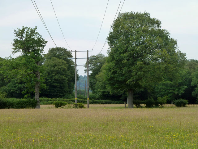
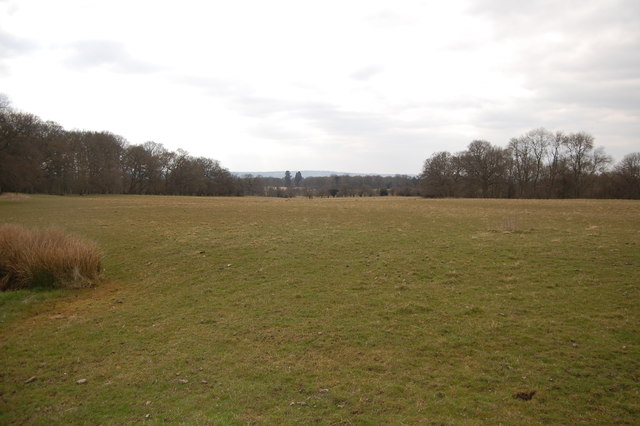
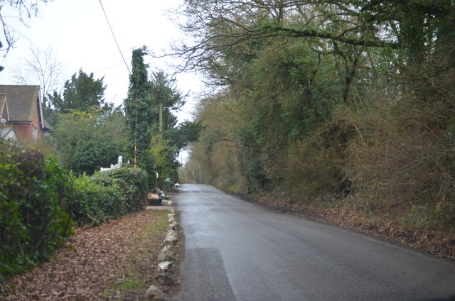
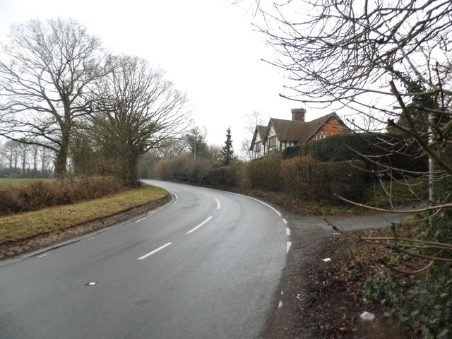
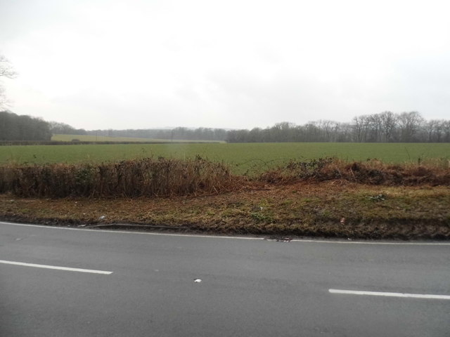
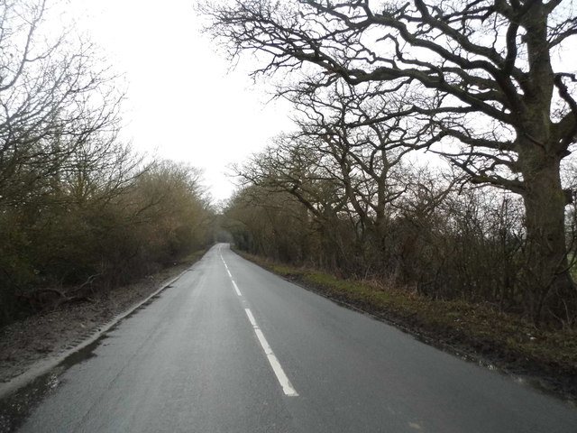
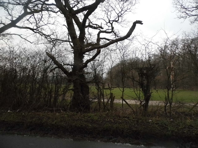
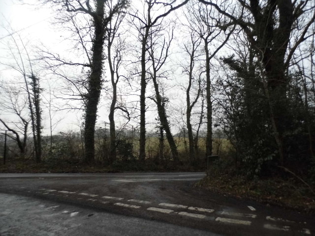
Hanging Bank is a small village located in the county of Kent, in southeastern England. Situated near the town of Maidstone, it is part of the borough of Maidstone and lies within the central part of the county. The village is nestled amidst picturesque countryside, characterized by rolling hills, lush green fields, and charming rural landscapes.
Hanging Bank has a rich historical background, with evidence of human habitation dating back to the Neolithic and Bronze Age periods. Numerous archaeological sites have been discovered in the vicinity, including burial mounds and ancient settlements, providing insights into the area's ancient past.
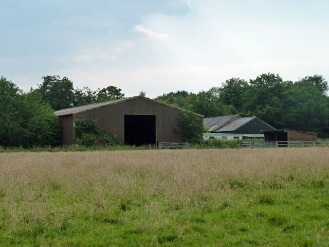
Today, Hanging Bank maintains its rural charm, with a small population and a tight-knit community. The village is primarily residential, with a scattering of traditional cottages and houses dotting the landscape. The village center features a few amenities, including a local pub and a small convenience store, catering to the needs of residents and visitors alike.
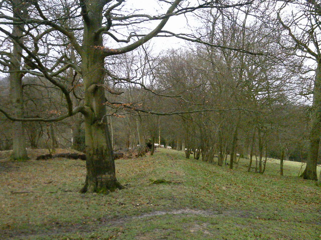
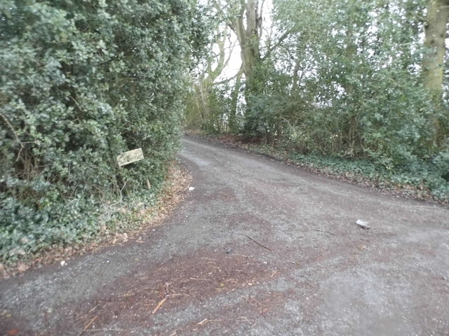
Surrounded by natural beauty, Hanging Bank offers ample opportunities for outdoor activities and exploration. The nearby countryside provides scenic walking trails and cycling routes, allowing visitors to immerse themselves in the peaceful surroundings. The village also benefits from its proximity to larger towns and cities, with Maidstone offering a wider range of amenities, shopping centers, and cultural attractions.
Overall, Hanging Bank is a tranquil and idyllic village, perfect for those seeking a peaceful retreat amidst the beauty of the Kentish countryside.
If you have any feedback on the listing, please let us know in the comments section below.
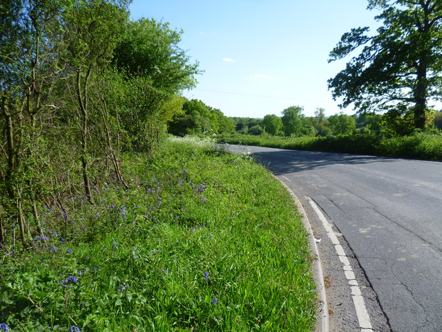
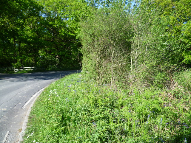
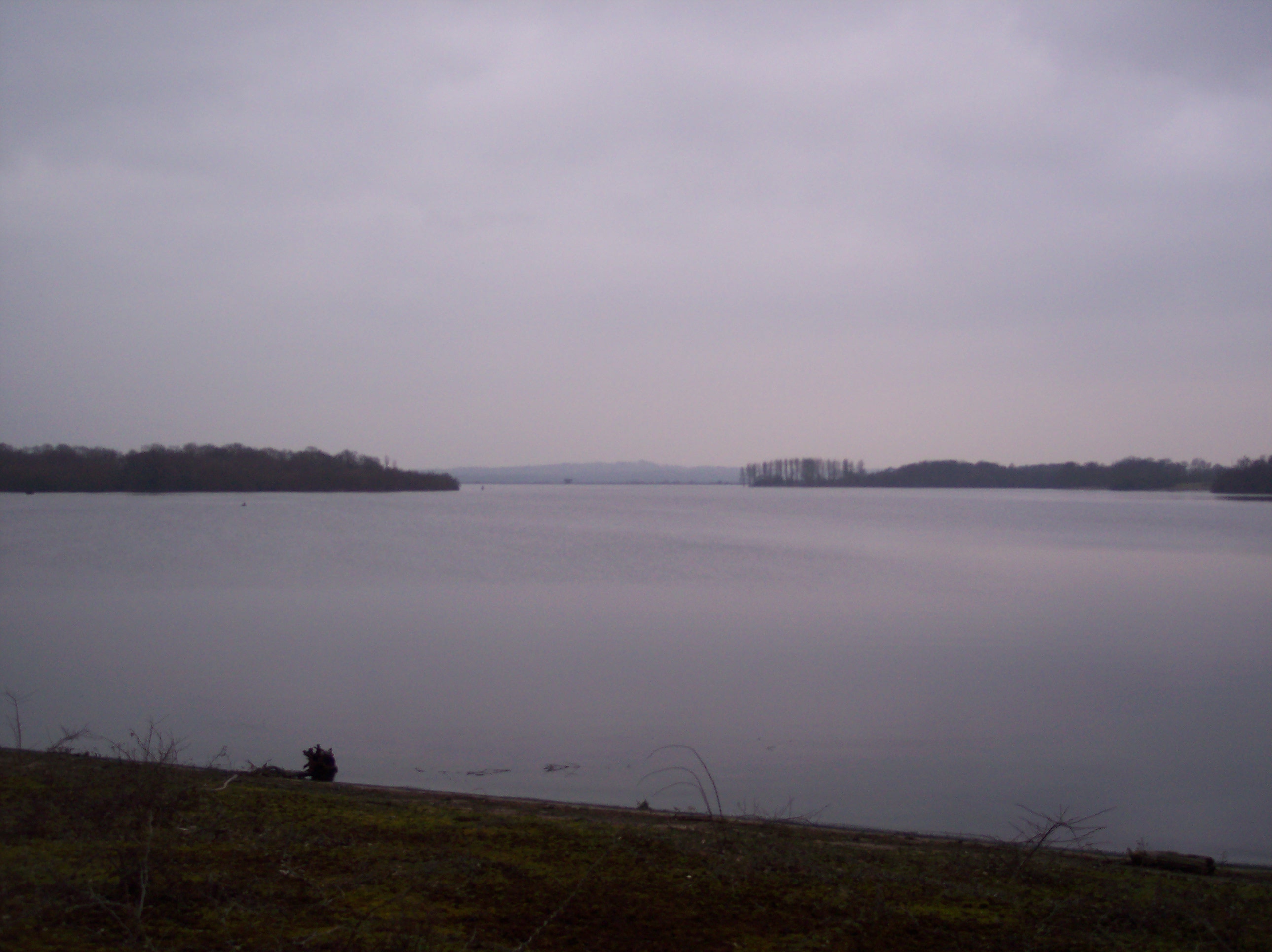
Hanging Bank Images
Images are sourced within 2km of 51.238989/0.11874454 or Grid Reference TQ4851. Thanks to Geograph Open Source API. All images are credited.


Hanging Bank is located at Grid Ref: TQ4851 (Lat: 51.238989, Lng: 0.11874454)
Administrative County: Kent
District: Sevenoaks
Police Authority: Kent
What 3 Words
///search.dreams.bolt. Near Sundridge, Kent
Nearby Locations
Related Wikis

Scord's Wood and Brockhoult Mount
Scord's Wood and Brockhoult Mount is a 252.3-hectare (623-acre) biological Site of Special Scientific Interest west of Sevenoaks in Kent. Scord's Wood...

Ide Hill
Ide Hill is a village within the civil parish of Sundridge with Ide Hill, in the Sevenoaks District of Kent, England. It stands on one of the highest...

Toys Hill
Toys Hill is a hamlet which lies within Brasted civil parish in the Sevenoaks district of Kent, England. It lies to the south of Brasted Chart, also in...

Emmetts Garden
Emmetts Garden is an Edwardian estate located at Ide Hill, near Sevenoaks in Kent, UK. It is now owned by the National Trust for Places of Historic Interest...

Stubbs Wood Country Park
Stubbs Wood Country Park is in Sevenoaks, in Kent, England. It is located on the Greensand Ridge, close to Ide Hill village. The site is owned and managed...
Bough Beech Reservoir
Bough Beech Reservoir is a 42-hectare (100-acre) nature reserve in Bough Beech, south-west of Sevenoaks in Kent. It was managed by the Kent Wildlife Trust...

Chartwell
Chartwell is a country house near Westerham, Kent, in South East England. For over forty years it was the home of Sir Winston Churchill. He bought the...

Four Elms
Four Elms is a village within the civil parish of Hever in the Sevenoaks District of Kent, England. The village is located on a crossroads between Edenbridge...
Nearby Amenities
Located within 500m of 51.238989,0.11874454Have you been to Hanging Bank?
Leave your review of Hanging Bank below (or comments, questions and feedback).