Bushycroft Wood

Wood, Forest in Kent Sevenoaks

England

Bushycroft Wood

Cooper’s Corner: postbox № TN14 209 This Victorian postbox is set into a pillar-like addition projecting from the frontage of a building which I think was once a pub: there is a 'PH' marked here on some large-scale maps and the Royal Mail's listing names this postbox as Frog & Bucket so I am assuming that is what the pub was called.
Cooper’s Corner: postbox № TN14 209 Credit: Chris Downer

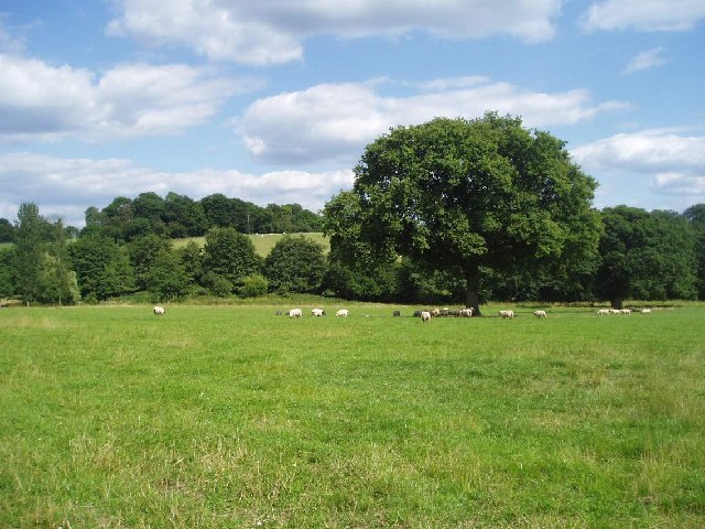
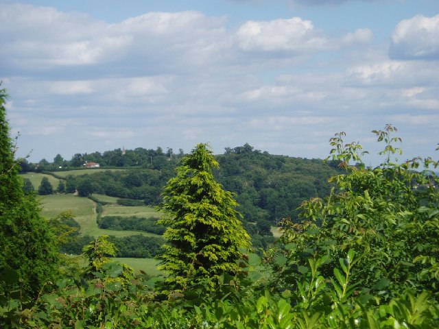
Bushycroft Wood is a picturesque woodland located in the county of Kent, England. Covering an area of approximately 20 acres, this enchanting forest is situated on the outskirts of the small village of Bushycroft. It is a popular destination for nature enthusiasts and locals alike.

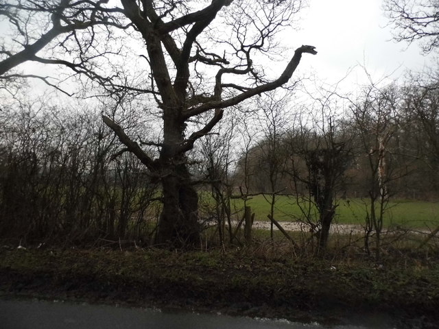
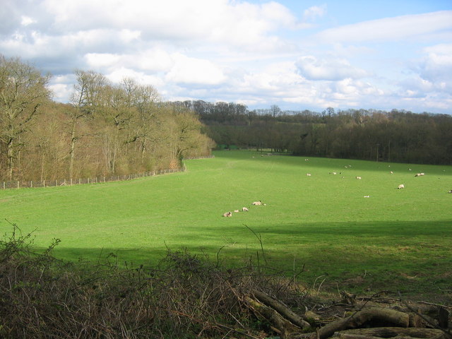
The wood is predominantly composed of native broadleaf trees, such as oak, beech, and ash, which create a dense canopy that provides shade and shelter for a wide variety of flora and fauna. The forest floor is carpeted with a lush carpet of bluebells, wild garlic, and ferns, adding to its natural beauty.

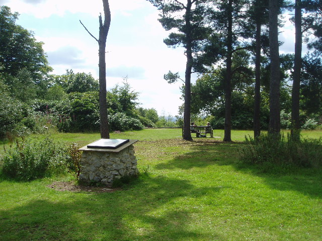
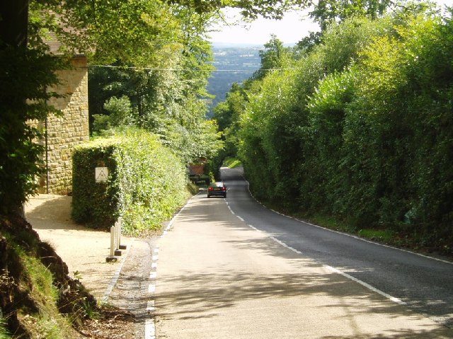
A network of well-maintained footpaths winds its way through the wood, allowing visitors to explore the forest at their own pace. These paths provide stunning views of the woodland, with dappled sunlight filtering through the leaves and creating a tranquil and peaceful atmosphere.

Bushycroft Wood is home to a diverse range of wildlife. Birdwatchers can spot species such as woodpeckers, nuthatches, and tawny owls, while mammal enthusiasts may come across deer, foxes, and badgers. The wood also supports a variety of insects, including butterflies, bees, and beetles.

The wood is open to the public all year round, offering opportunities for walking, picnicking, and photography. It is a popular spot for families, providing a safe and enjoyable environment for children to explore and connect with nature.

Overall, Bushycroft Wood is a delightful and scenic woodland that offers a peaceful escape from the hustle and bustle of daily life.

If you have any feedback on the listing, please let us know in the comments section below.

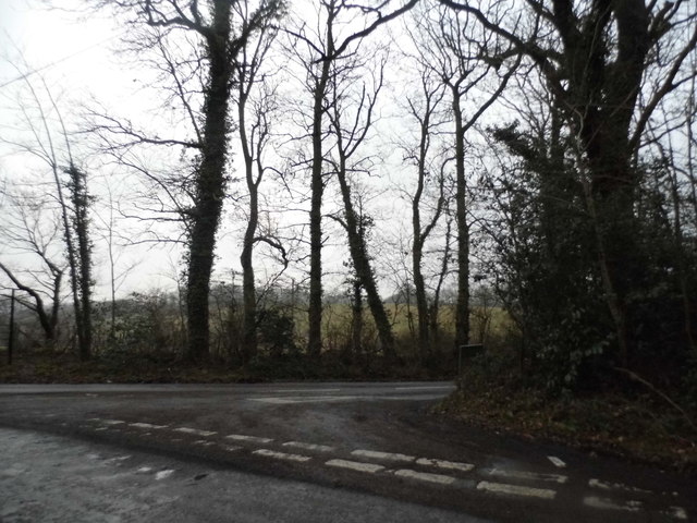
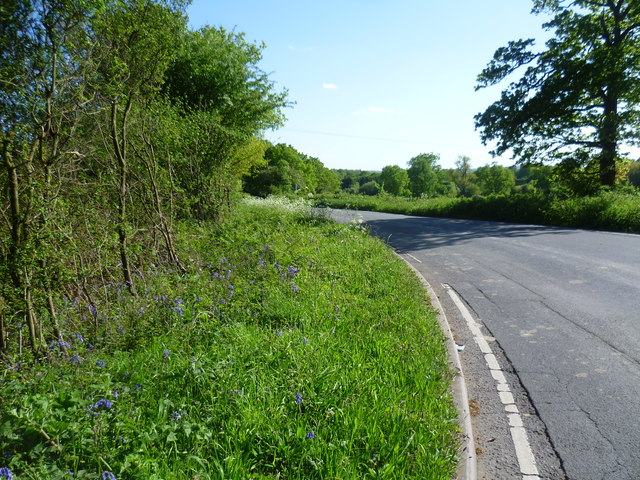
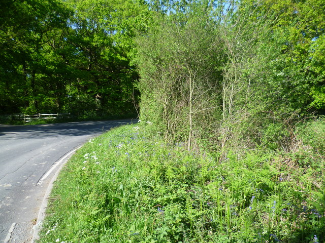
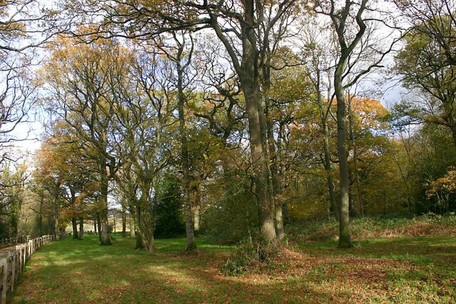
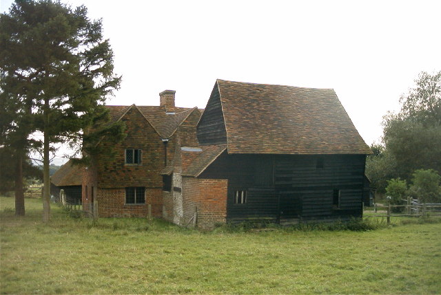
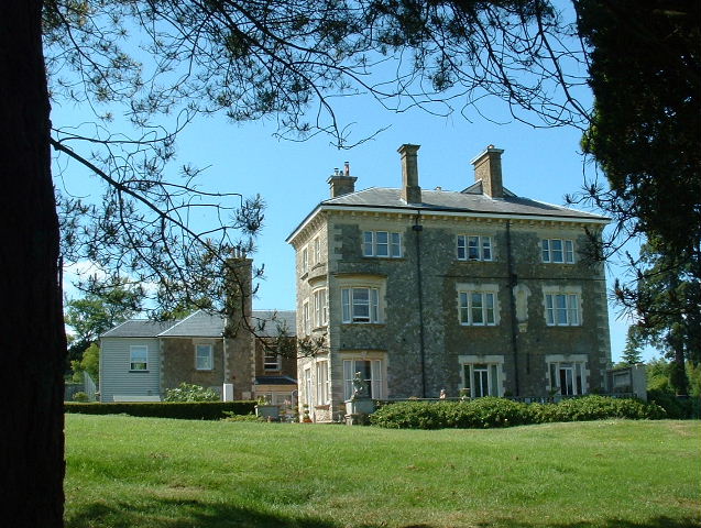
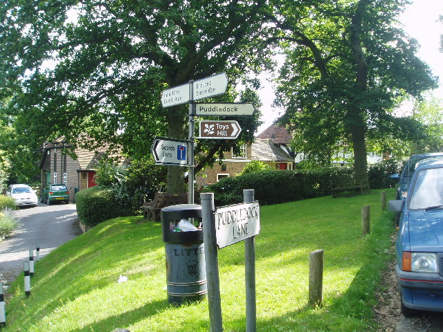
Bushycroft Wood Images

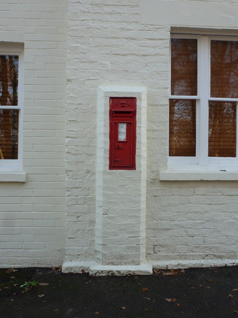
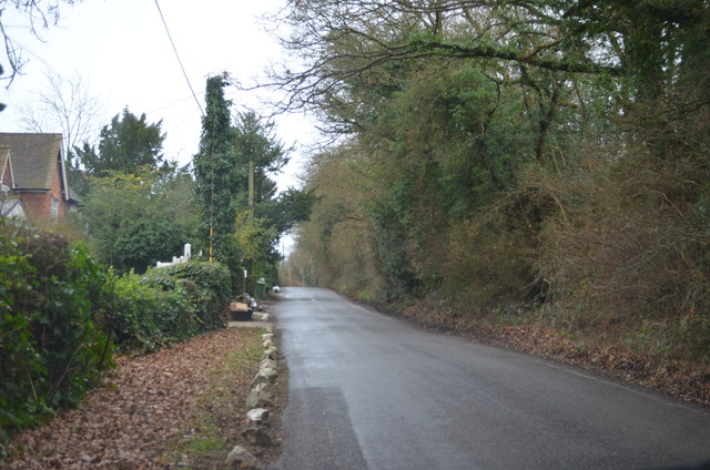
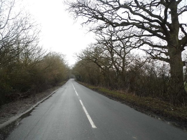
Images are sourced within 2km of 51.242104/0.12304267 or Grid Reference TQ4851. Thanks to Geograph Open Source API. All images are credited.

Cooper’s Corner: postbox № TN14 209 This Victorian postbox is set into a pillar-like addition projecting from the frontage of a building which I think was once a pub: there is a 'PH' marked here on some large-scale maps and the Royal Mail's listing names this postbox as Frog & Bucket so I am assuming that is what the pub was called.
Cooper’s Corner: postbox № TN14 209
This Victorian postbox is set into a pillar-like addition projecting from the frontage of a building which I think was once a pub: there is a 'PH' marked here on some large-scale maps and the Royal Mail's listing names this postbox as Frog & Bucket so I am assuming that is what the pub was called.
Lane near Cooper's Corner
Ide Hill Road, Cooper's Corner
Old tree by Ide Hill Road
Toy's Hill Road at the junction of South Brook Lane
Road verge near Chittenden This is the B2042 between Ide Hill and Four Elms. Bluebells can be seen in the road verge.
Road verge near Chittenden
This is the B2042 between Ide Hill and Four Elms. Bluebells can be seen in the road verge.
Road verge by Pond Wood This is the B2042 between Four Elms and Ide Hill near Chittenden. Pond Wood can be seen ahead beyond the bend.
Road verge by Pond Wood
This is the B2042 between Four Elms and Ide Hill near Chittenden. Pond Wood can be seen ahead beyond the bend.
Pond Wood, south of Toy's Hill Situated on Green Lane (B2042).
Pond Wood, south of Toy's Hill
Situated on Green Lane (B2042).
Obriss Farm, Brasted, Kent Sixteenth century farmhouse, in open farmland, now restored and owned by the Landmark Trust and available for rent as a holiday home.
Obriss Farm, Brasted, Kent
Sixteenth century farmhouse, in open farmland, now restored and owned by the Landmark Trust and available for rent as a holiday home.
Emmetts The House at Emmetts is private, but the gardens are National Trust.  Towards East of gridsquare.
Emmetts
The House at Emmetts is private, but the gardens are National Trust. Towards East of gridsquare.
Sheep in field The southern facing fields below the North Downs seem very fertile and ideal pasture
Sheep in field
The southern facing fields below the North Downs seem very fertile and ideal pasture
Toys Hill signs On the corner of Puddledock Lane and Toys Hill Lane and close to several footpaths
Toys Hill signs
On the corner of Puddledock Lane and Toys Hill Lane and close to several footpaths
Looking towards Ide Hill From Toys Hill you can get some views to the East towards Ide Hill. The spire of Ide Hill church is just visible.
Looking towards Ide Hill
From Toys Hill you can get some views to the East towards Ide Hill. The spire of Ide Hill church is just visible.
Toys Hill - site of Weardale Manor At the top of Toys Hill was sited a very grand house built in 1906 for Lord and Lady Weardale and used by them as their summer home. It had commanding views but sadly fell into neglect and was bequeathed to the National Trust and the land flattened. There are a number of footpaths around this spot. Unfortunately the beautiful views are mainly hidden due to the trees and vegetation.
Toys Hill - site of Weardale Manor
At the top of Toys Hill was sited a very grand house built in 1906 for Lord and Lady Weardale and used by them as their summer home. It had commanding views but sadly fell into neglect and was bequeathed to the National Trust and the land flattened. There are a number of footpaths around this spot. Unfortunately the beautiful views are mainly hidden due to the trees and vegetation.
Toys Hill - the road south towards Four Elms The overhanging trees make an arch
Toys Hill - the road south towards Four Elms
The overhanging trees make an arch
Tanhouse Wood and Fields - Toys Hill This area consists of woodlands interdispersed with farmland. Tanhouse Wood can be seen along the left boundary of this photograph.
Tanhouse Wood and Fields - Toys Hill
This area consists of woodlands interdispersed with farmland. Tanhouse Wood can be seen along the left boundary of this photograph.
Goathurst Common Well Prior to the sinking of the well in 1901, villagers used water from rainwater storage tanks. When these ran dry, villagers had to walk down a steep hill to the springs south of Stubbs Woods, to collect their water. Piped water was brought to the area during the 1920s.
Goathurst Common Well
Prior to the sinking of the well in 1901, villagers used water from rainwater storage tanks. When these ran dry, villagers had to walk down a steep hill to the springs south of Stubbs Woods, to collect their water. Piped water was brought to the area during the 1920s.
St Mary's Church Ide Hill The church was built in 1865 and has the distinction of being the highest church in Kent.
St Mary's Church Ide Hill
The church was built in 1865 and has the distinction of being the highest church in Kent.
Show me another place!

Bushycroft Wood is located at Grid Ref: TQ4851 (Lat: 51.242104, Lng: 0.12304267)

Administrative County: Kent

District: Sevenoaks

Police Authority: Kent

What 3 Words

///single.moving.posts. Near Sundridge, Kent

Related Wikis

Ide Hill

Ide Hill is a village within the civil parish of Sundridge with Ide Hill, in the Sevenoaks District of Kent, England. It stands on one of the highest...

Scord's Wood and Brockhoult Mount

Scord's Wood and Brockhoult Mount is a 252.3-hectare (623-acre) biological Site of Special Scientific Interest west of Sevenoaks in Kent. Scord's Wood...

Emmetts Garden

Emmetts Garden is an Edwardian estate located at Ide Hill, near Sevenoaks in Kent, UK. It is now owned by the National Trust for Places of Historic Interest...

Toys Hill

Toys Hill or Toy's Hill is a hamlet in Brasted civil parish in the Sevenoaks district of Kent, England. It lies to the south of Brasted Chart, also in...

Nearby Amenities

Located within 500m of 51.242104,0.12304267
Barrier: kissing_gate
Lat/Long: 51.2451023/0.1235728
Barrier: stile
Lat/Long: 51.2396294/0.1288497
Bench
Backrest: yes
Lat/Long: 51.2429352/0.1273225
Bench
Lat/Long: 51.2435872/0.1264514
The data included in this document is from www.openstreetmap.org. The data is made available under ODbL.

Have you been to Bushycroft Wood?

Leave your review of Bushycroft Wood below (or comments, questions and feedback).