Knock Hill

Hill, Mountain in Aberdeenshire

Scotland

Knock Hill

Ford at Drummy I hadn't quite made up my mind which way I was going to go at this point, but the sight of the ford decided me and I went the other way. The track through the ford isn't shown on all the maps; it goes on to a farm named either Strathweltie or Wester Strathweltie, depending on which map you believe.
Ford at Drummy Credit: Anne Burgess

Knock Hill, located in Aberdeenshire, Scotland, is a prominent hill that offers breathtaking views and a wealth of outdoor activities. Standing at an elevation of 305 meters (1,001 feet), it is a popular destination for locals and tourists alike.

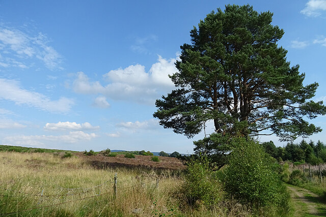
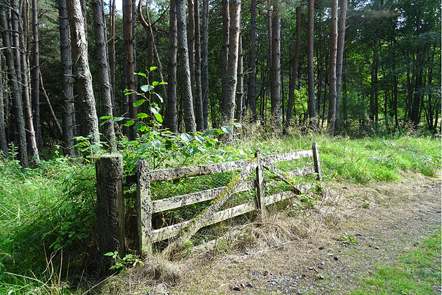
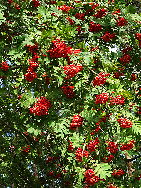
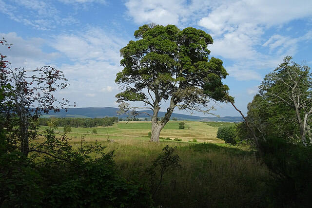
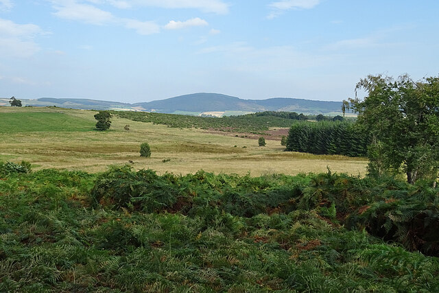
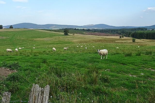
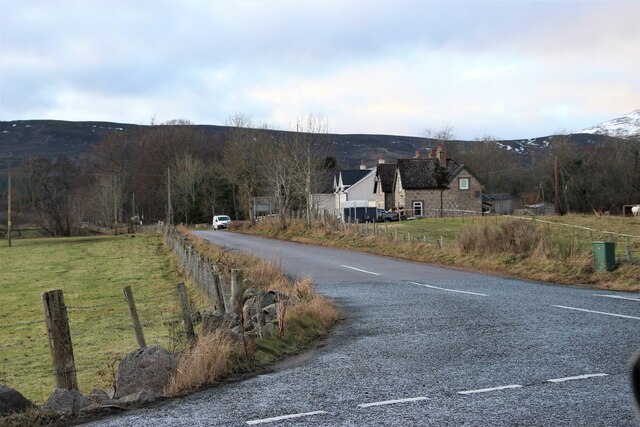
The hill is part of the larger Bennachie range, characterized by its distinctive cone shape and diverse terrain. Its slopes are covered in heather and scattered with granite outcrops, providing a picturesque backdrop for hikers and nature enthusiasts. The summit rewards visitors with panoramic views of the surrounding countryside, including the rolling hills and fertile farmland that Aberdeenshire is renowned for.

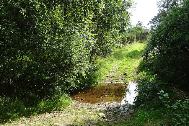
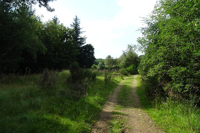
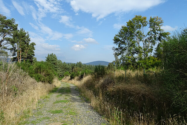
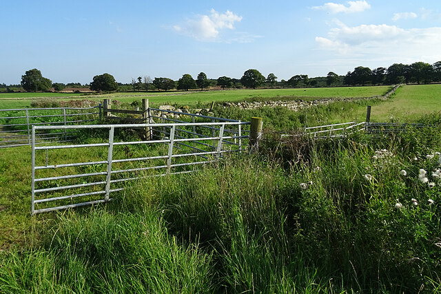
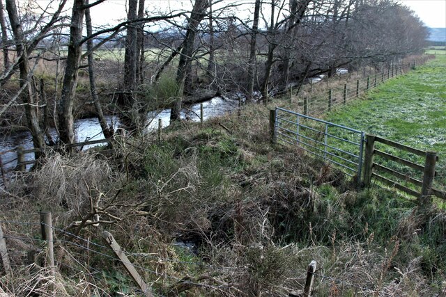
Knock Hill boasts a network of well-maintained trails, suitable for all levels of fitness and experience. The main path to the summit is easily accessible and well signposted, making it a favorite among families and casual walkers. More adventurous hikers can explore the surrounding trails that branch off from the main route, offering a chance to discover hidden valleys, meandering streams, and an abundance of wildlife.

The hill is also a popular spot for paragliding and hang gliding, attracting thrill-seekers from far and wide. Its favorable wind conditions and open slopes make it an ideal location for these exhilarating activities. Additionally, the hill is often used for orienteering events, providing a challenging and scenic venue for enthusiasts of this sport.

Overall, Knock Hill in Aberdeenshire is a must-visit destination for those seeking stunning views, outdoor adventures, and a deep connection with Scotland's natural beauty.

If you have any feedback on the listing, please let us know in the comments section below.
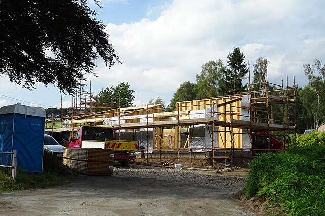
Knock Hill Images

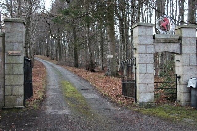
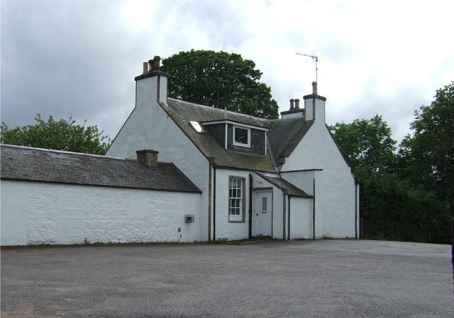
Images are sourced within 2km of 57.121279/-2.9073847 or Grid Reference NJ4503. Thanks to Geograph Open Source API. All images are credited.

Ford at Drummy I hadn't quite made up my mind which way I was going to go at this point, but the sight of the ford decided me and I went the other way. The track through the ford isn't shown on all the maps; it goes on to a farm named either Strathweltie or Wester Strathweltie, depending on which map you believe.
Ford at Drummy
I hadn't quite made up my mind which way I was going to go at this point, but the sight of the ford decided me and I went the other way. The track through the ford isn't shown on all the maps; it goes on to a farm named either Strathweltie or Wester Strathweltie, depending on which map you believe.
Crofts of Drummy This track goes past the sites of at least three or four crofts, all of which have long vanished, though there could be some remnants of foundations lurking in the vegetation. See <span class="nowrap"><a title="https://maps.nls.uk/geo/explore/#zoom=17&lat=57.12065&lon=-2.87999&layers=5&b=1" rel="nofollow ugc noopener" href="https://maps.nls.uk/geo/explore/#zoom=17&lat=57.12065&lon=-2.87999&layers=5&b=1">Link</a><img style="margin-left:2px;" alt="External link" title="External link - shift click to open in new window" src="https://s1.geograph.org.uk/img/external.png" width="10" height="10"/></span> which shows the route as surveyed in the late 1860s.
Crofts of Drummy
This track goes past the sites of at least three or four crofts, all of which have long vanished, though there could be some remnants of foundations lurking in the vegetation. See LinkExternal link which shows the route as surveyed in the late 1860s.
Moorland at Crofts of Drummy The line of trees between the track and the moor thins out here to allow a view of the heather moor.
Moorland at Crofts of Drummy
The line of trees between the track and the moor thins out here to allow a view of the heather moor.
Restoration in Progress This is the only house still standing of the Crofts of Drummy, so it's pleasing to see that it is being restored.
Restoration in Progress
This is the only house still standing of the Crofts of Drummy, so it's pleasing to see that it is being restored.
Old Gate A traditional wooden gate, covered in lichen, and obviously not used recently.
Old Gate
A traditional wooden gate, covered in lichen, and obviously not used recently.
Rowan Berries A very impressive crop of berries on a Rowan in Leys Wood.
Rowan Berries
A very impressive crop of berries on a Rowan in Leys Wood.
Track into Leys Wood The track through Leys Wood is part of one of the circular walks that start and finish in Tarland. It isn't waymarked so a map is necessary.
Track into Leys Wood
The track through Leys Wood is part of one of the circular walks that start and finish in Tarland. It isn't waymarked so a map is necessary.
Tree in a Field I think it's a Sycamore, and there is a fine view beyond it.
Tree in a Field
I think it's a Sycamore, and there is a fine view beyond it.
New House at Burnside There was plenty of activity going on on this building plot.
New House at Burnside
There was plenty of activity going on on this building plot.
Fields near Tarland Perhaps not so much agricultural fields as fields of bracken.
Fields near Tarland
Perhaps not so much agricultural fields as fields of bracken.
Sheep near Braehead For once, the sheep just looked up and then got on with grazing instead of presenting the lens with a clutch of fleeing backsides. Somewhere on the far side of the grazings are various prehistoric remains including one called the Blue Cairn, which I omitted to investigate as shorts and sandals don't mix happily with bracken (ticks!) and brambles.
Sheep near Braehead
For once, the sheep just looked up and then got on with grazing instead of presenting the lens with a clutch of fleeing backsides. Somewhere on the far side of the grazings are various prehistoric remains including one called the Blue Cairn, which I omitted to investigate as shorts and sandals don't mix happily with bracken (ticks!) and brambles.
Fungus A rather fluted cap, but I don't know what kind it is.
Fungus
A rather fluted cap, but I don't know what kind it is.
Gates and Dykes Quite a large collection of field gates where field entrances converge on the track.
Gates and Dykes
Quite a large collection of field gates where field entrances converge on the track.
B9119 road at Milton of Logie
Road to Blelack House at Carrue
Loggie Burn at Carrue
New houses at Logie Coldstone
Gate to Corrachree
Gate to Corrachree
Show me another place!

Knock Hill is located at Grid Ref: NJ4503 (Lat: 57.121279, Lng: -2.9073847)

Unitary Authority: Aberdeenshire

Police Authority: North East

What 3 Words

///smile.awards.violinist. Near Aboyne, Aberdeenshire

Related Wikis

Blelack

Blelack (, Scottish Gaelic: Blàth Bholg) is a place in Aberdeenshire, Scotland, the location of Blelack House, a Scottish mansion house with origins in...

Logie Coldstone

Logie Coldstone (Scottish Gaelic: Lògaidh) is a village in Aberdeenshire, Scotland. The village lies north of the River Dee, near Tarland in the Cromar...

Tarland

Tarland (Gaelic: Turlann) is a village in Aberdeenshire, Scotland and is located 5 miles (8 km) northwest of Aboyne, and 30 miles (50 km) west of Aberdeen...

Loch Davan

Loch Davan is a small, triangular, freshwater loch approximately 5 mi (8.0 km) northeast of Ballater, Scotland and lying immediately north of Loch Kinord...

Have you been to Knock Hill?

Leave your review of Knock Hill below (or comments, questions and feedback).