Knockargety Wood
Wood, Forest in Aberdeenshire
Scotland
Knockargety Wood
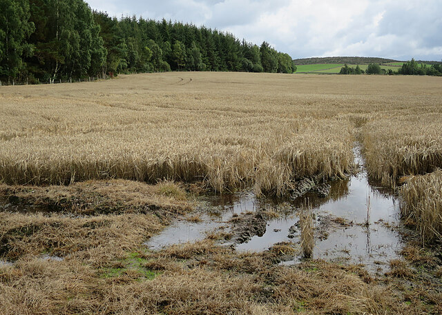
Knockargety Wood is a picturesque woodland located in Aberdeenshire, Scotland. Spanning over an area of approximately 100 acres, this ancient forest is a popular destination among nature enthusiasts and outdoor adventurers.
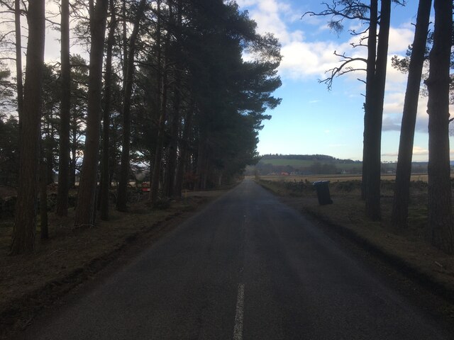
The wood is characterized by its diverse range of flora and fauna, with a variety of tree species such as oak, birch, and pine dominating the landscape. The dense canopy of trees creates a serene and tranquil atmosphere, making it an ideal spot for leisurely walks, birdwatching, or simply taking in the natural beauty of the surroundings.
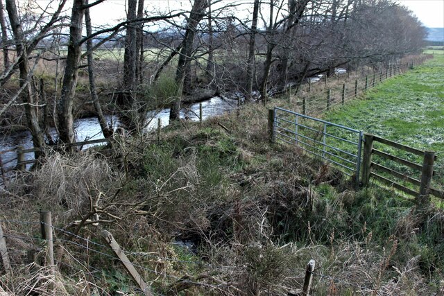
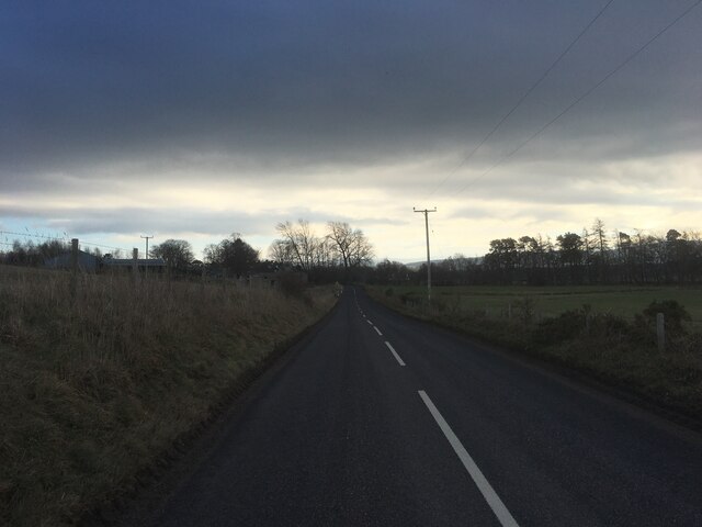
The wood is crisscrossed by a network of well-maintained trails, allowing visitors to explore its hidden gems and discover its secrets. Along these paths, one can stumble upon charming streams, vibrant wildflowers, and even the occasional wildlife sighting, including roe deer and red squirrels.
For those interested in the history of the area, Knockargety Wood holds significant cultural value. The wood is believed to be ancient, with remnants of prehistoric settlements and burial grounds scattered throughout. Archaeological excavations have uncovered pottery shards and stone tools, providing insights into the lives of the people who once inhabited the area.
Overall, Knockargety Wood is a haven of natural beauty, offering a peaceful retreat from the hustle and bustle of everyday life. Whether it's exploring the trails, immersing oneself in the rich history, or simply enjoying the tranquility of the surroundings, this woodland is a must-visit for nature lovers and history enthusiasts alike.
If you have any feedback on the listing, please let us know in the comments section below.
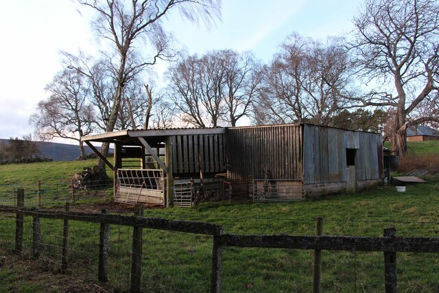
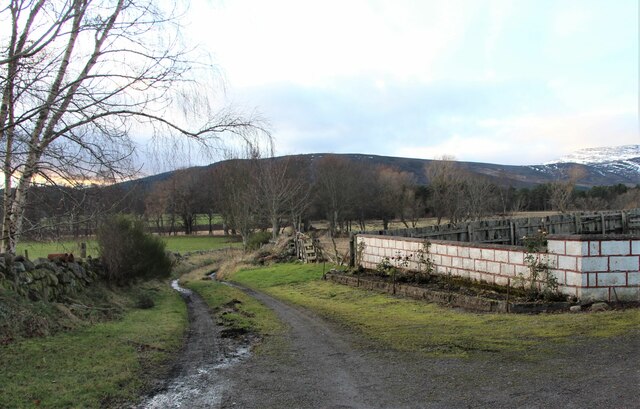
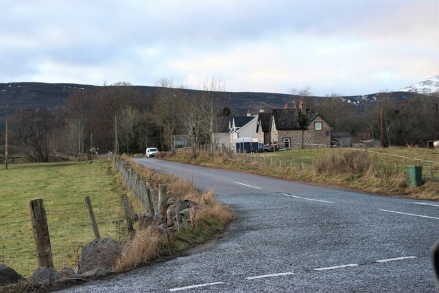
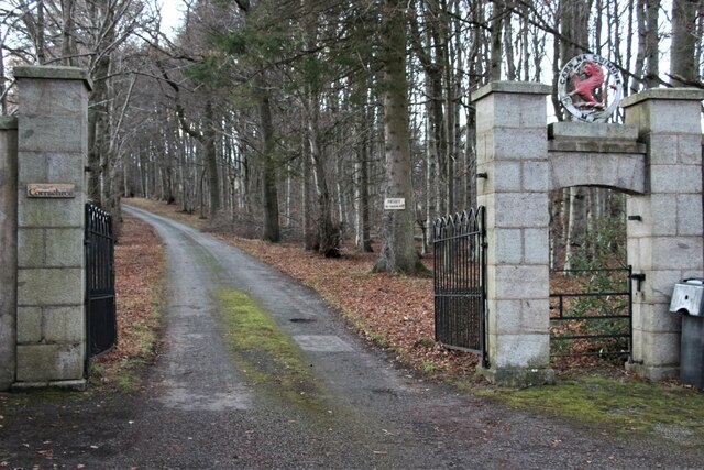
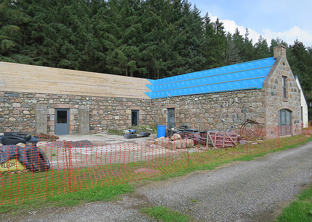
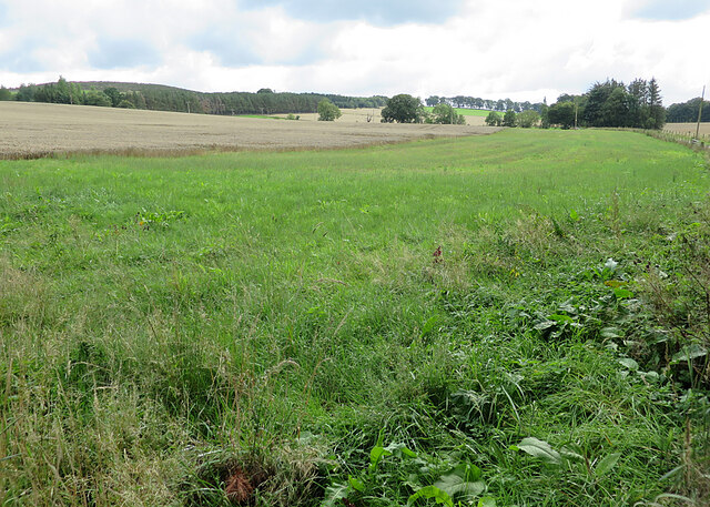
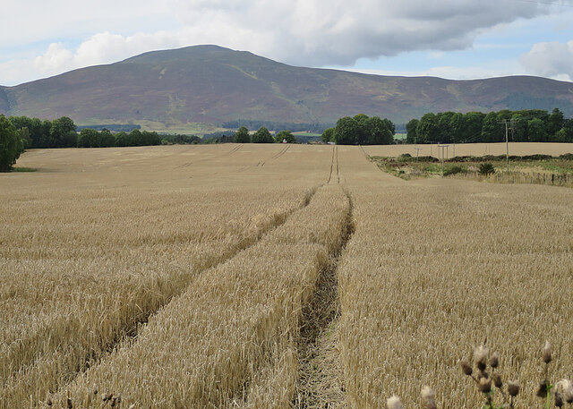
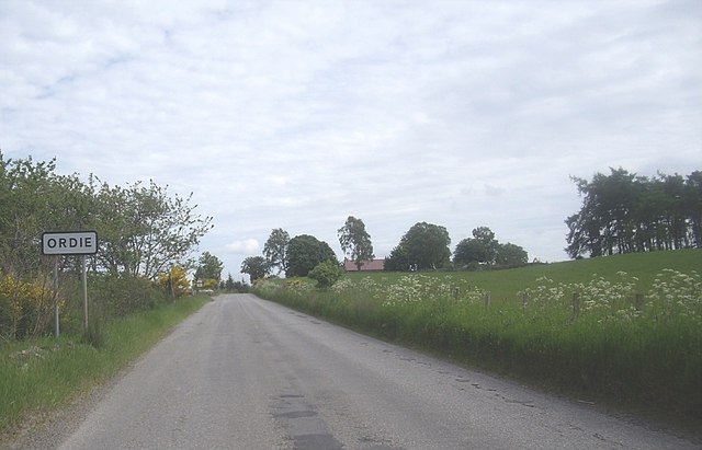
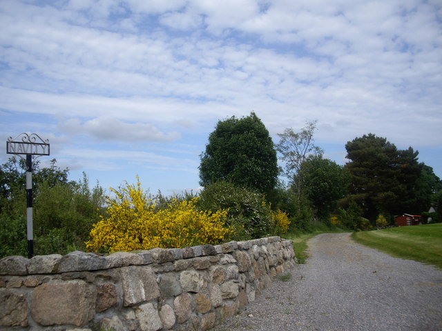
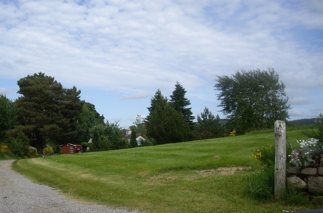
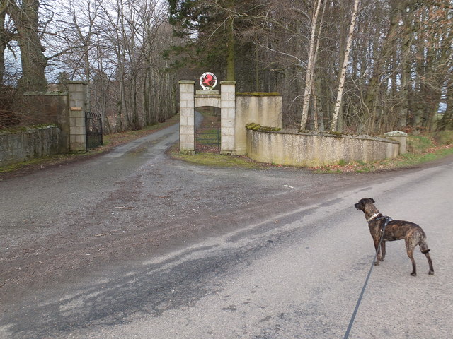
Knockargety Wood Images
Images are sourced within 2km of 57.116641/-2.898932 or Grid Reference NJ4503. Thanks to Geograph Open Source API. All images are credited.


Knockargety Wood is located at Grid Ref: NJ4503 (Lat: 57.116641, Lng: -2.898932)
Unitary Authority: Aberdeenshire
Police Authority: North East
What 3 Words
///chairing.manly.finest. Near Aboyne, Aberdeenshire
Nearby Locations
Related Wikis

Blelack
Blelack (, Scottish Gaelic: Blàth Bholg) is a place in Aberdeenshire, Scotland, the location of Blelack House, a Scottish mansion house with origins in...
Logie Coldstone
Logie Coldstone (Scottish Gaelic: Lògaidh) is a village in Aberdeenshire, Scotland. The village lies north of the River Dee, near Tarland in the Cromar...

Tarland
Tarland (Gaelic: Turlann) is a village in Aberdeenshire, Scotland and is located 5 miles (8 km) northwest of Aboyne, and 30 miles (50 km) west of Aberdeen...

Loch Davan
Loch Davan is a small, triangular, freshwater loch approximately 5 mi (8.0 km) northeast of Ballater, Scotland and lying immediately north of Loch Kinord...
Nearby Amenities
Located within 500m of 57.116641,-2.898932Have you been to Knockargety Wood?
Leave your review of Knockargety Wood below (or comments, questions and feedback).